Hiking Trail
Zürcher Weinland Weg
- Hiking trail
- Medium
- ZH
- Distance
- 15 km
- Walking time
- 4 h 29 min
- Ascent
- 280 m
- Descent
- 260 m
- Highest point
- 529 m

Still have questions? Ask Alpi.
Alpi can help with routes, weather and everything worth knowing nearby.
Elevation profile
Point at a spot with your mouse
About this route
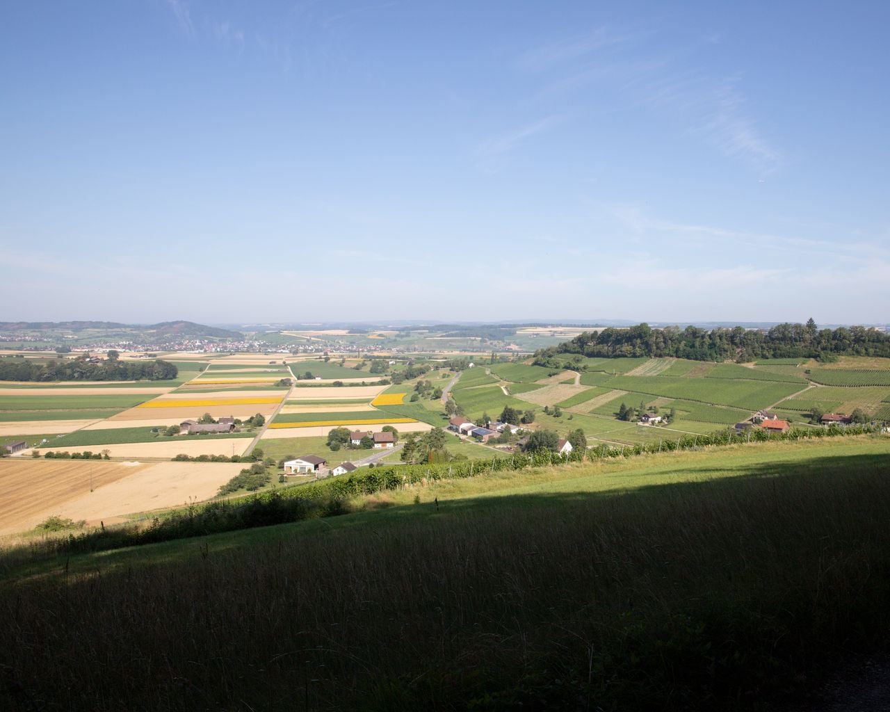
Zwischen Rhein und Thur, dem sonnigen Hang des Cholfirsts entlang. Auf der abwechslungsreichen Wanderung von Dachsen nach Ossingen werden Moränenhügel und lang gezogene Rebberge mit einmaligen Aussichten erwandert.
Map
Getting there and tickets
- Public transport at startDachsen, BahnhofBus · 1 min walk to the trail
- Public transport at finishOssingen, BahnhofBus · 1 min walk to the trail
Sun, 25 Oct1 adult
Your hiking plan
from Zürich HB
The day
Pricing the ticket …
Zürich HB
Ossingen, Bahnhof
End of the route
Zürich HB
Popular activities
- Schaffhauserland Bike, Stage 1/4
Schaffhauserland Bike, Stage 1/4
Mountain bike routesSchaffhausen → Hallau · 32 km4.2 km - Ostschweizer Wein-Route, Stage 1/2
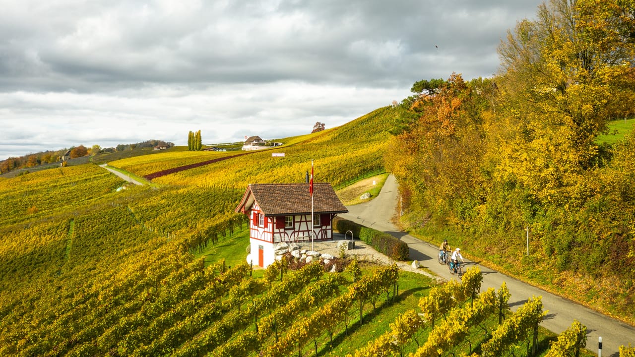
Ostschweizer Wein-Route, Stage 1/2
Cycling routesSchaffhausen → Weinfelden · 52 km4.9 km - Seerücken-Route, Stage 1/2
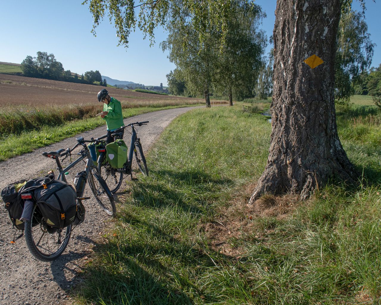
Seerücken-Route, Stage 1/2
Cycling routesSchaffhausen → Siegershausen · 55 km4.9 km - "Night Watchman" Historical City Tour Winterthur
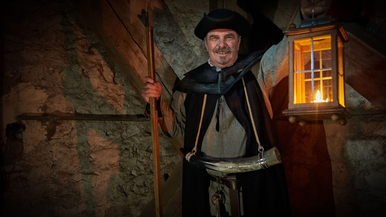 1/3
"Night Watchman" Historical City Tour Winterthur
5.0(6)Winterthur22.8 kmper person
from CHF 25
- Rafting for 2-6 people: rent a dinghy from Stein am Rhein to Schaffhausen
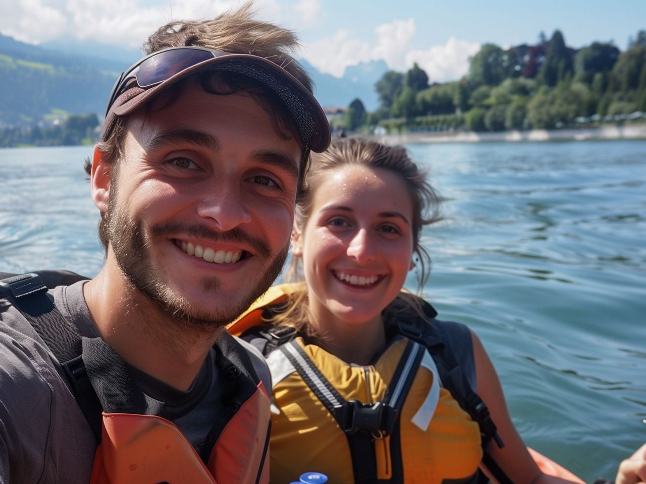 1/12
Rafting for 2-6 people: rent a dinghy from Stein am Rhein to Schaffhausen
5.0(1)Stein am Rhein24.3 kmper person
from CHF 30
- Old Town Winterthur public guided tour
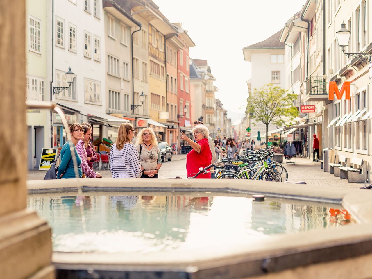 1/8
Old Town Winterthur public guided tour
5.0(4)Winterthur40 kmper person
from CHF 20