Hiking Trail
Walserweg Gottardo
- Hard
- VS
- Distance
- 215 km
- Walking time
- 101 h 45 min
- Ascent
- 14’000 m
- Descent
- 14’100 m
- Highest point
- 2’570 m

Still have questions? Ask Alpi.
Alpi can help with routes, weather and everything worth knowing nearby.
Elevation profile
Point at a spot with your mouse
About this route
Unterwegs in der Welt der Walser: Vom Walliser Stammland folgt der Weg den Spuren der Siedler bis in die Gebiete in der bündnerischen Surselva. Unterwegs warten einsame Passrouten von Binn über das italienische Pomatt ins obere Maggiatal, bekanntere Übergänge führen ins Gotthardgebiet und auf den Oberalppass. Über einsame Wege endet die Weitwanderung nach über 200 Kilometern und 14000 Höhenmetern in Obersaxen.
Map
Getting there and tickets
- Public transport at startBinn, DorfBus · 1 min walk to the trail
- Public transport at finishObersaxen, St. MartinBus · 1 min walk to the trail
Sat, 31 Oct1 adult
Your hiking plan
from Zürich HB
The day
Pricing the ticket …
Zürich HB
Obersaxen, St. Martin
End of the route
Zürich HB
Popular activities
- Winterwanderweg Fiesch–Fieschertal
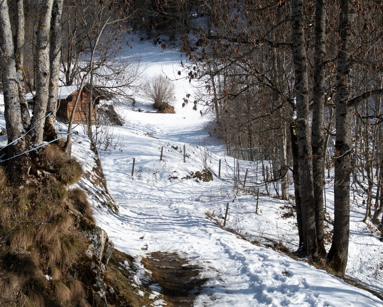

Winterwanderweg Fiesch–Fieschertal
Winter hiking routesFiesch Fieschertal · 6.0 km · 1 h 46 min9.6 km - Schneeschuhtrail Fiesch–Fiescheralp
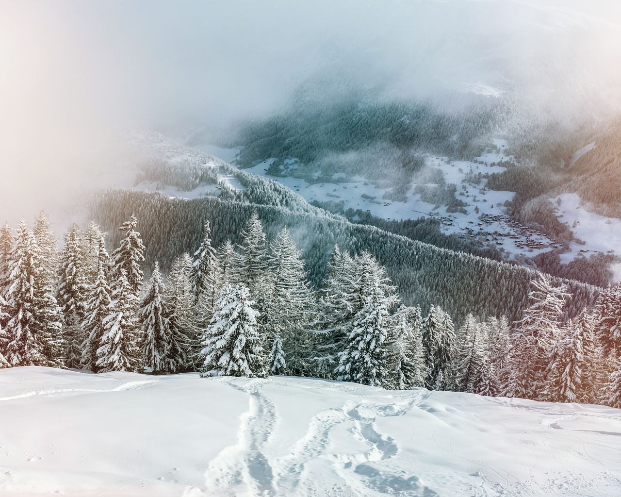

Schneeschuhtrail Fiesch–Fiescheralp
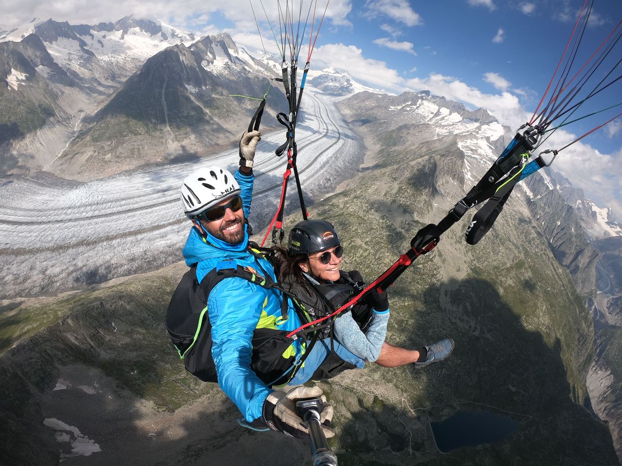
Snowshoe routesFiesch → Fiescheralp · 5.0 km · 5 h 35 min10 km - Aletscharena paragliding tandem from Fiesch
 1/5
Aletscharena paragliding tandem from Fiesch
4.8(5)Fiesch10.3 kmper person
from CHF 150
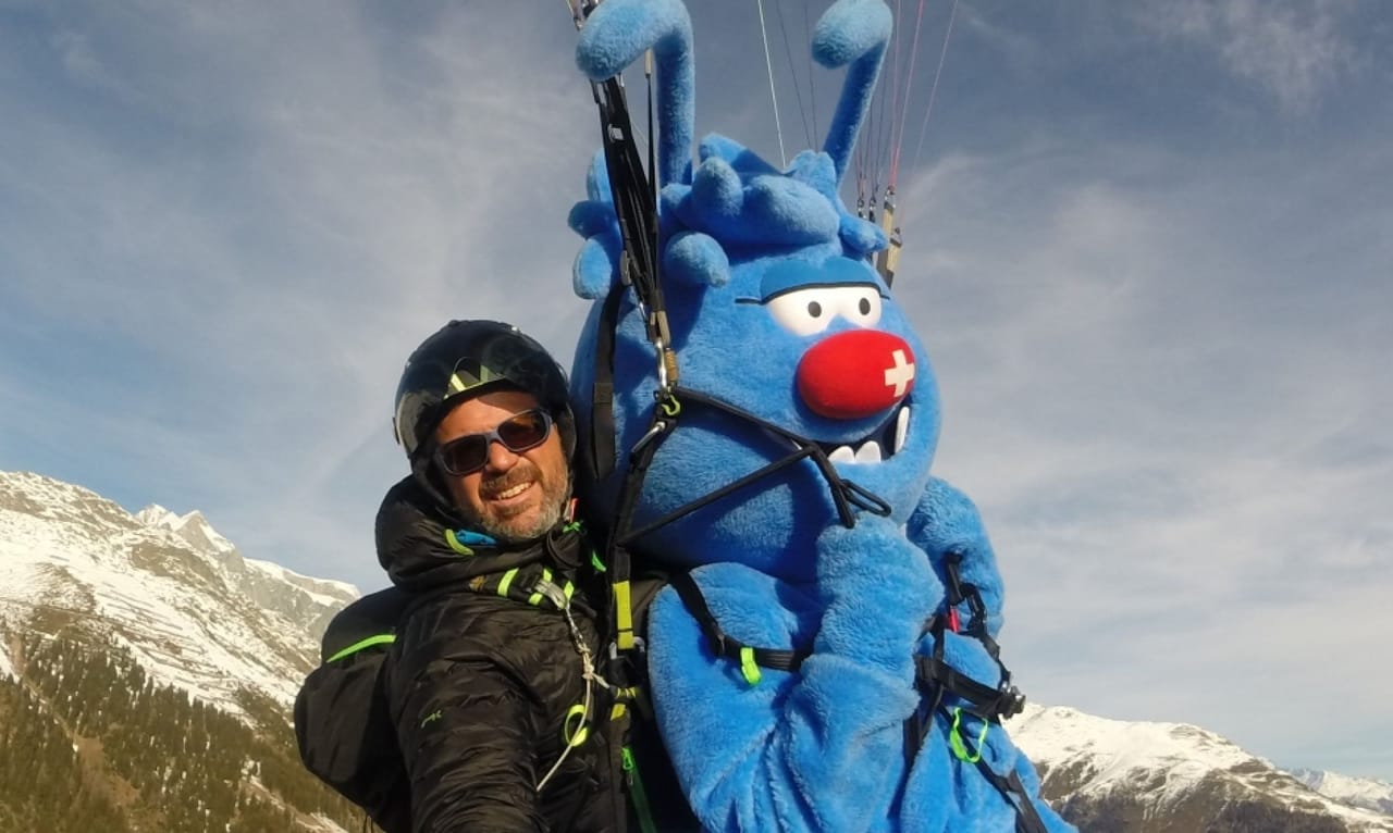
- Aletscharena paragliding for children from Fiesch
 1/5
Aletscharena paragliding for children from Fiesch
4.8(5)Fiesch10.3 kmper person
from CHF 119
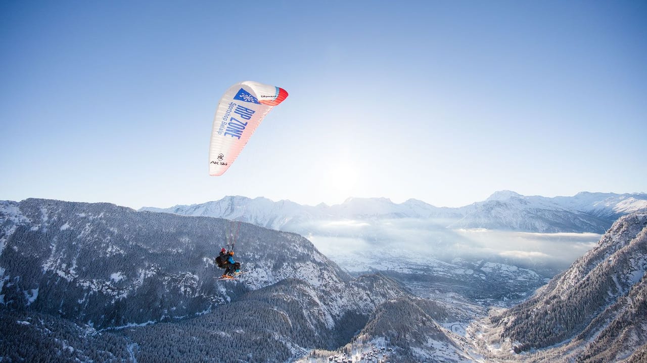
- Rosswald paragliding tandem in Valais
 1/10
Rosswald paragliding tandem in Valais
5.0(6)Brig23.1 kmper person
from CHF 150