Hiking Trail
ViaValtellina, Stage 7/8
- Mountain hiking trail
- Hard
- GR
- Distance
- 11 km
- Walking time
- 5 h 41 min
- Ascent
- 1’100 m
- Descent
- 320 m
- Highest point
- 1’855 m
Elevation profile
Point at a spot with your mouse
About this route
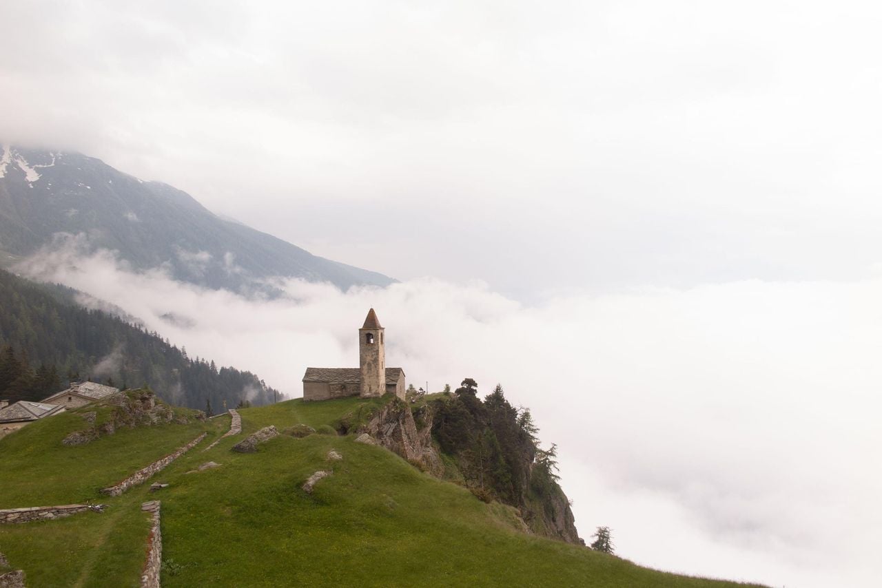
Mediterranes Flair in Poschiavo, dann folgen Bergwälder und Maiensässe bis hoch nach San Romerio, der pittoresken Alpsiedlung oberhalb von Brusio. Vom romantischen Kirchlein, das sich direkt an die Felsflanke schmiegt: eine herrliche Sicht über das Puschlav, welches das Engadin mit dem italienischen Veltlin verbindet.
Map
Getting there and tickets
- Public transport at startPoschiavoTrain · 1 min walk to the trail
Sat, 24 Oct1 adult
Your hiking plan
from Zürich HB
The day
Pricing the ticket …
Zürich HB
San Romerio
End of the route
Zürich HB
Popular activities
- Trans-Altarezia Bike, Stage 5/5
Trans-Altarezia Bike, Stage 5/5
Mountain bike routesPoschiavo → Tirano (I) · 30 km0.1 km - Breakfast and spa at Cresta Palace in Celerina
 1/11
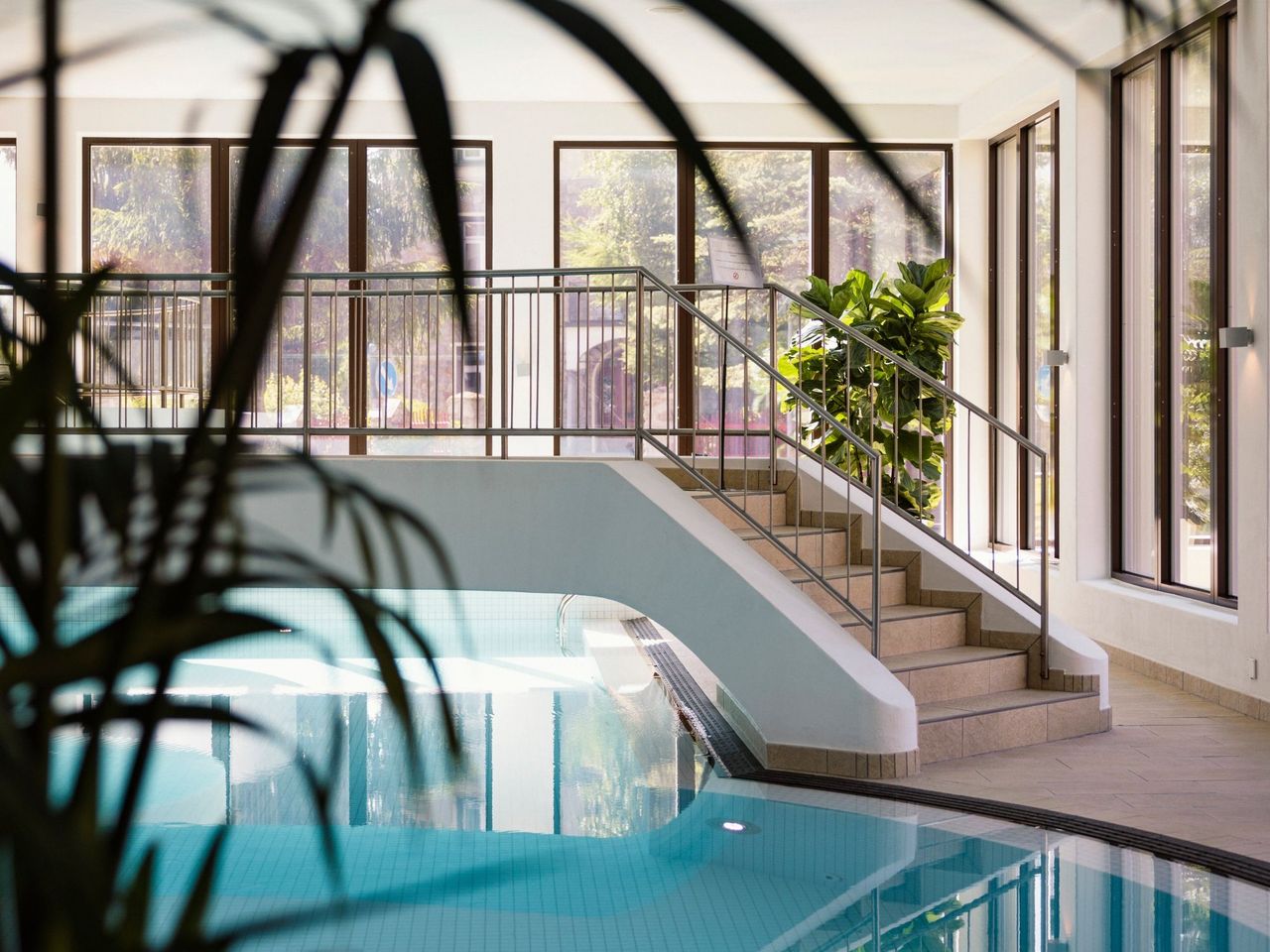
Breakfast and spa at Cresta Palace in Celerina
Celerina Schlarigna36.5 kmper person
from CHF 90
- Bernina railway ticket route
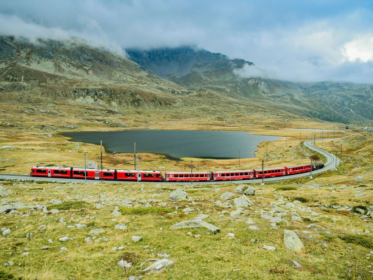 1/10
Bernina railway ticket route
4.5(48)St. Moritz37 kmper person
from CHF 33
- Bike tour with BBQ or picnic from St. Moritz
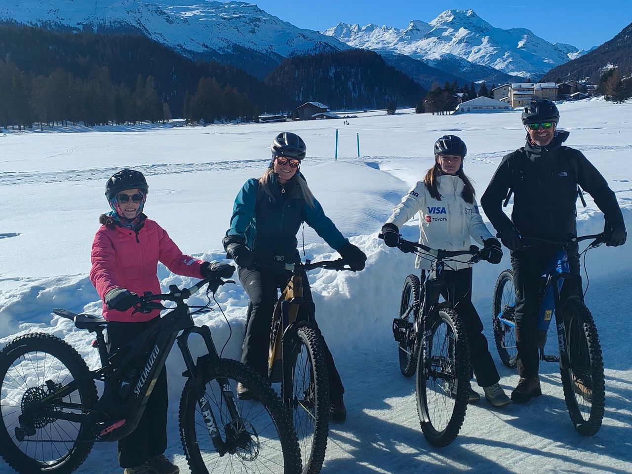 1/7
Bike tour with BBQ or picnic from St. Moritz
St. Moritz38.8 kmper person
from CHF 497