Hiking Trail
Via Engiadina
- Hard
- GR
- Distance
- 160 km
- Walking time
- 62 h 28 min
- Ascent
- 7’700 m
- Descent
- 8’400 m
- Highest point
- 2’557 m
Elevation profile
Point at a spot with your mouse
About this route
Höhenwegklassiker vom Ober- ins Unterengadin. Auf der sonnigen Talseite dem Inn entlang, werden typische Engadiner Dörfer durchquert, Arven- und Lärchenwälder, kristallklare Bäche und saftige Alpwiesen. Das Panorama: die leuchtenden Gletscher der Bernina-Gruppe und die Engadiner Dolomiten im Schweizerischen Nationalpark.
Map
Getting there and tickets
- Public transport at startMaloja, PostaBus · 1 min walk to the trail
- Public transport at finishVinadiBus · 1 min walk to the trail
Sat, 24 Oct1 adult
Your hiking plan
from Zürich HB
The day
Pricing the ticket …
Zürich HB
Vinadi
End of the route
Zürich HB
Popular activities
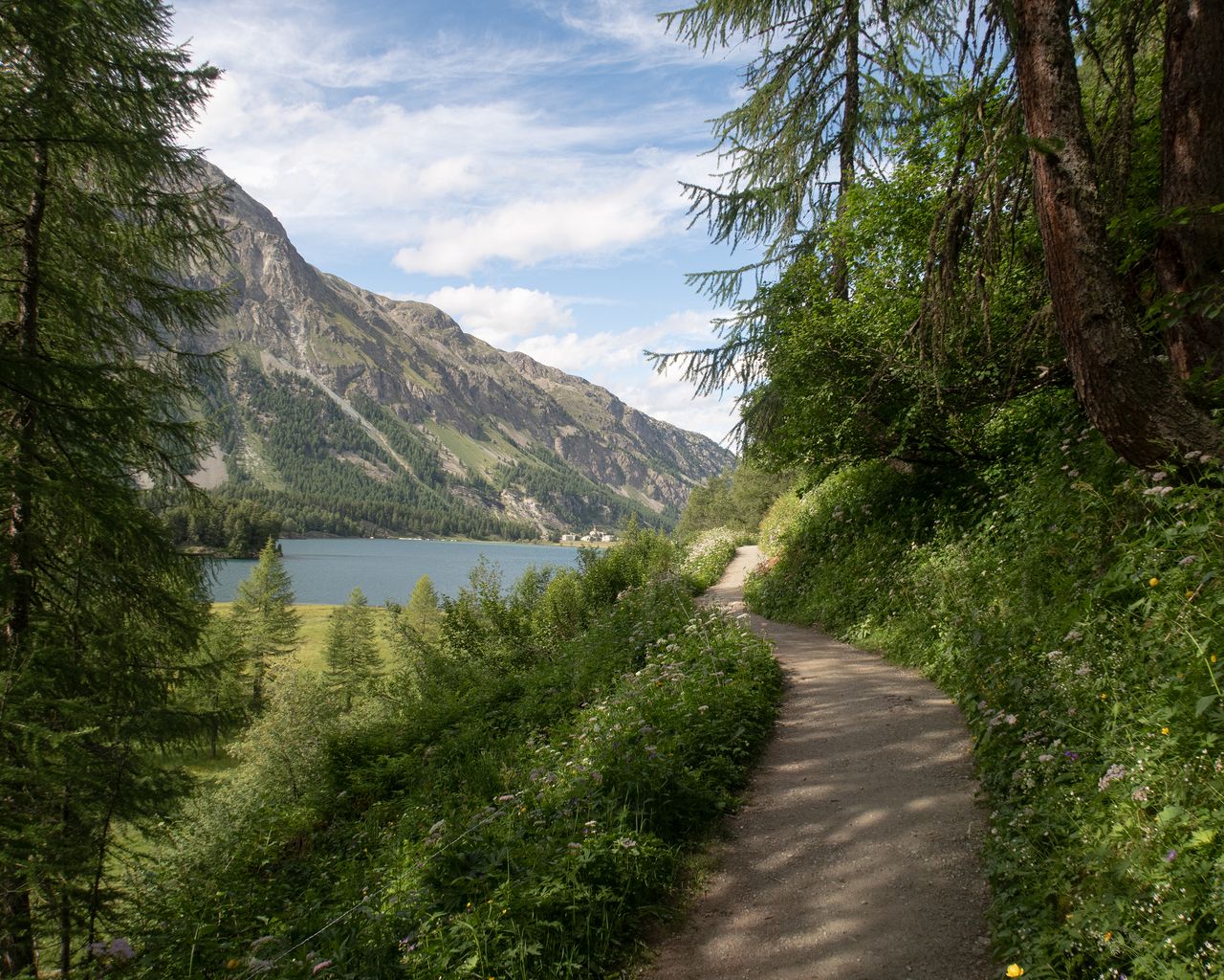
- Senda Segantini, Stage 3/4
Senda Segantini, Stage 3/4
BergwanderwegMaloja → Pontresina · 20 km · 6 h 18 min0 km - Engadin-Skimarathon-Loipe
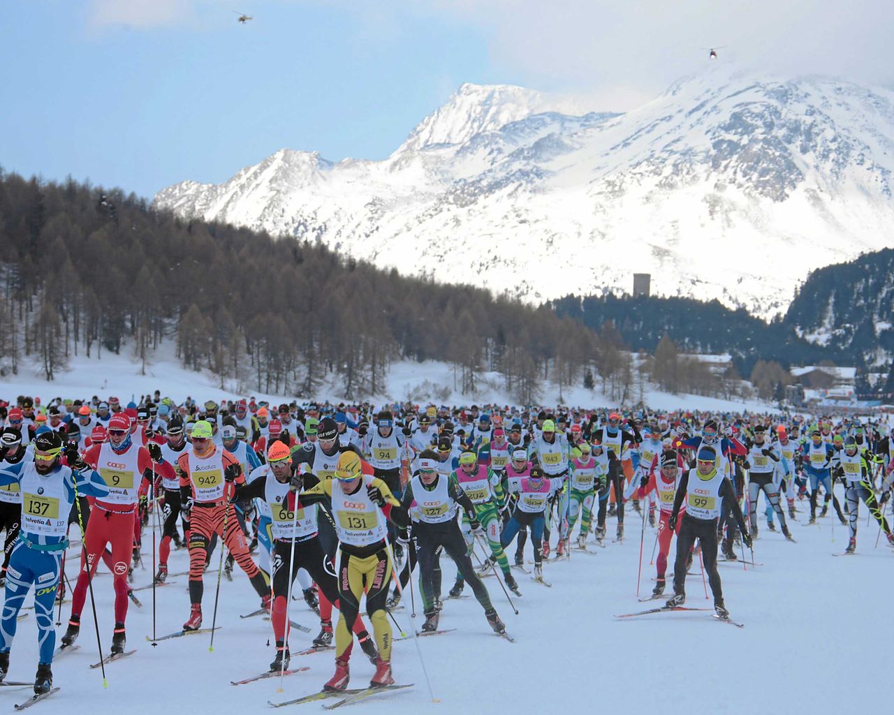
Engadin-Skimarathon-Loipe
Cross-Country SkiingMaloja → S-chanf, Schiessplatz · 44 km0.9 km - Via Panoramica Val Bregaglia
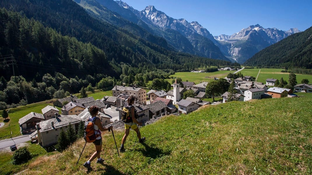
Via Panoramica Val Bregaglia
BergwanderwegCasaccia → Soglio · 15 km · 5 h 47 min5.7 km - Bike tour with BBQ or picnic from St. Moritz
 1/7
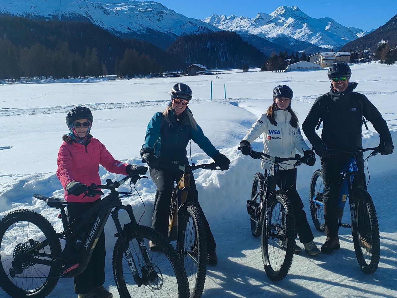
Bike tour with BBQ or picnic from St. Moritz
St. Moritz17.2 kmper person
from CHF 497
- Bernina railway ticket route
 1/10
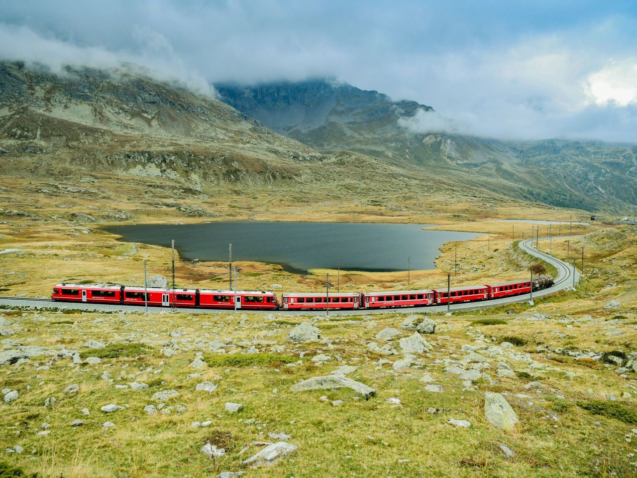
Bernina railway ticket route
4.5(48)St. Moritz17.3 kmper person
from CHF 33
- Breakfast and spa at Cresta Palace in Celerina
 1/11
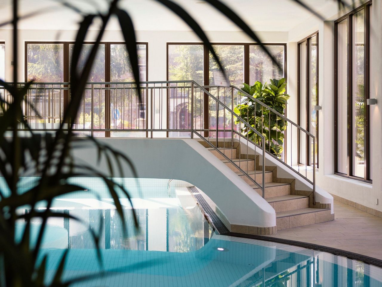
Breakfast and spa at Cresta Palace in Celerina
Celerina Schlarigna19.7 kmper person
from CHF 90