Hiking Trail
Stählibuckweg
- Hiking trail
- Medium
- TG
- Distance
- 17 km
- Walking time
- 5 h 23 min
- Ascent
- 420 m
- Descent
- 440 m
- Highest point
- 657 m

Still have questions? Ask Alpi.
Alpi can help with routes, weather and everything worth knowing nearby.
Elevation profile
Point at a spot with your mouse
About this route
Die Wanderung von Amlikon nach Frauenfeld führt zwischen Thur und Lauche über den Wellenberg. Vorbei an interessanten Bauwerken erreicht der Weg den bekannten Aussichtsturm Stählibuck bei Frauenfeld, wo sich bei klarem Wetter eine herrliche Rundsicht bietet.
Map
Getting there and tickets
- Public transport at startAmlikon, UnterdorfBus · 1 min walk to the trail
- Public transport at finishFrauenfeldTrain · 2 min walk to the trail
Sat, 24 Oct1 adult
Your hiking plan
from Zürich HB
The day
Pricing the ticket …
Zürich HB
Frauenfeld
End of the route
Zürich HB
Popular activities
- ViaJacobi, Stage 22/33
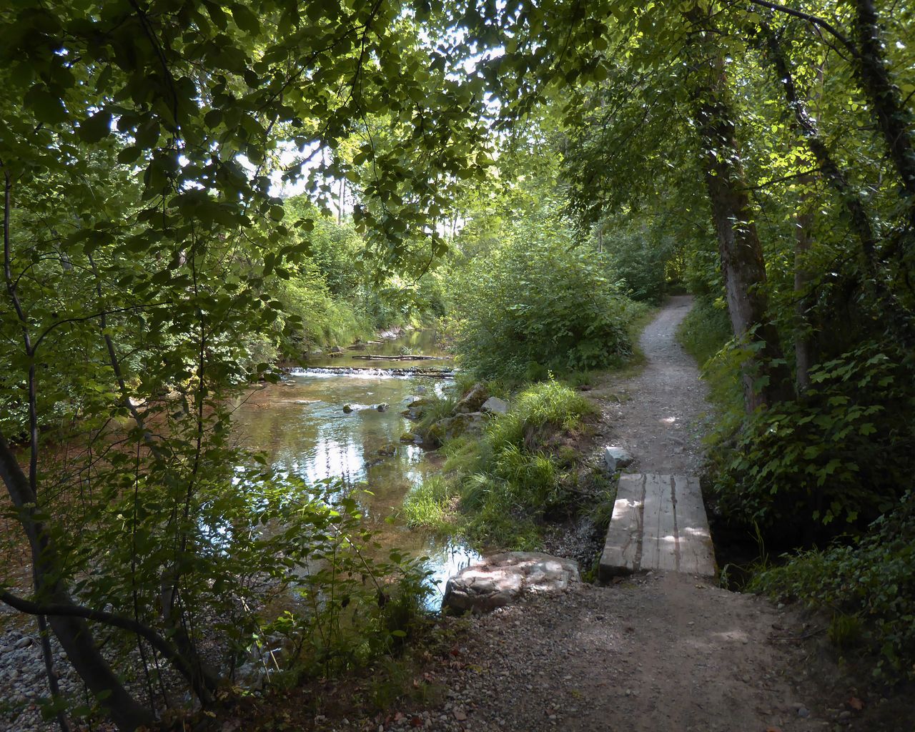

ViaJacobi, Stage 22/33
WanderwegMärstetten → Fischingen · 27 km · 8 h 6 min2.5 km - Ostschweizer Wein-Route, Stage 2/2
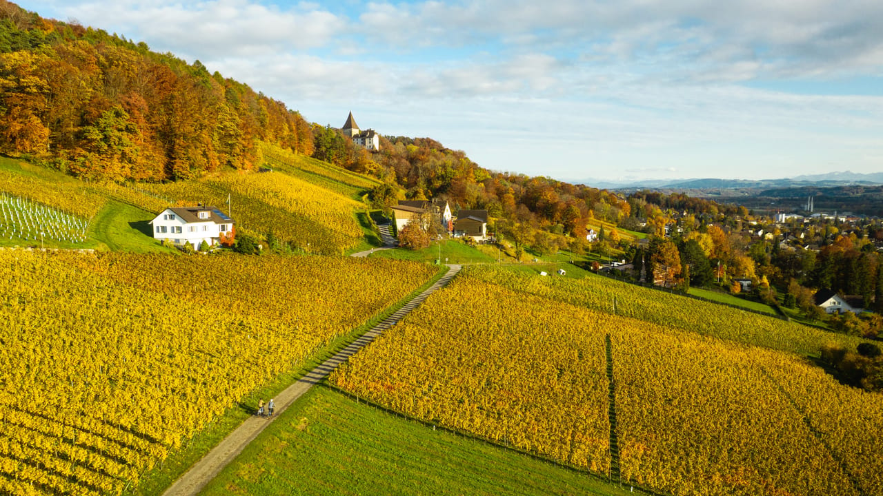
Ostschweizer Wein-Route, Stage 2/2
Cycling routesWeinfelden → St. Gallen · 38 km4.6 km - Golf Introductory Course in Lipperswil

Golf Introductory Course in Lipperswil
Kreuzlingen6.9 kmfrom CHF 130
- "Find-the-Code: Thurgau Legends" Outdoor Escape Game Frauenfeld
 1/7
"Find-the-Code: Thurgau Legends" Outdoor Escape Game Frauenfeld
3.0(1)Frauenfeld13.4 kmper person
from CHF 8