Hiking Trail
Rheintaler Höhenweg
- Mountain hiking trail
- Hard
- SG
- Distance
- 110 km
- Walking time
- 40 h 44 min
- Ascent
- 5’000 m
- Descent
- 4’900 m
- Highest point
- 1’441 m

Still have questions? Ask Alpi.
Alpi can help with routes, weather and everything worth knowing nearby.
Elevation profile
Point at a spot with your mouse
About this route
Vom Bodensee durch Obstanlagen und Weinberge, durch eine vielfältige Kulturlandschaft mit Burgen und Schlössern. Auf dem Höhenweg sind die Aussicht ins Rheintal sowie die Berglandschaft ständiger Begleiter.
Map
Getting there and tickets
- Public transport at startRorschachTrain · 1 min walk to the trail
- Public transport at finishSargans, BahnhofBus · 1 min walk to the trail
Sat, 24 Oct1 adult
Your hiking plan
from Zürich HB
The day
Pricing the ticket …
Zürich HB
Sargans, Bahnhof
End of the route
Zürich HB
Popular activities
- Rheintaler Höhenweg, Stage 1/6
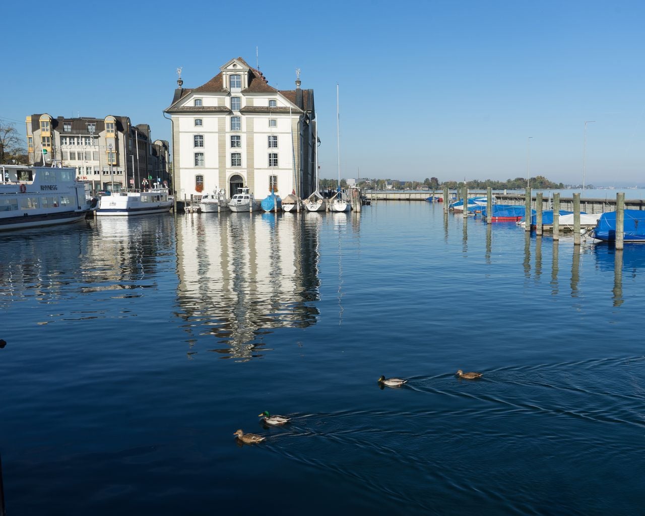
Rheintaler Höhenweg, Stage 1/6
WanderwegRorschach → Berneck · 19 km · 6 h 47 min0 km - Bodensee-Radweg, Stage 5/8
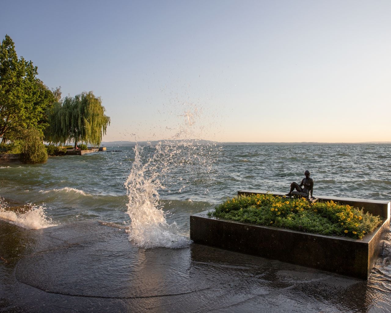
Bodensee-Radweg, Stage 5/8
Cycling routesRorschach → Kreuzlingen · 38 km0.1 km - Alpine Panorama Trail, Stage 1/29
Alpine Panorama Trail, Stage 1/29
WanderwegRorschach → Trogen · 19 km · 7 h 47 min1 km - Panorama Bike, Stage 1/14


Panorama Bike, Stage 1/14
Mountain bike routesRorschach → Trogen · 23 km1.1 km - "SECTOR" Activate Room St. Gallen
 1/8
"SECTOR" Activate Room St. Gallen
5.0(1)St. Gallen12.8 kmper person
from CHF 39
- "The Magic Portal" Escape Game St. Gallen
 1/6
"The Magic Portal" Escape Game St. Gallen
4.9(9)St. Gallen13 kmper person
from CHF 50
- "Operation Mindfall" Escape Game St. Gallen
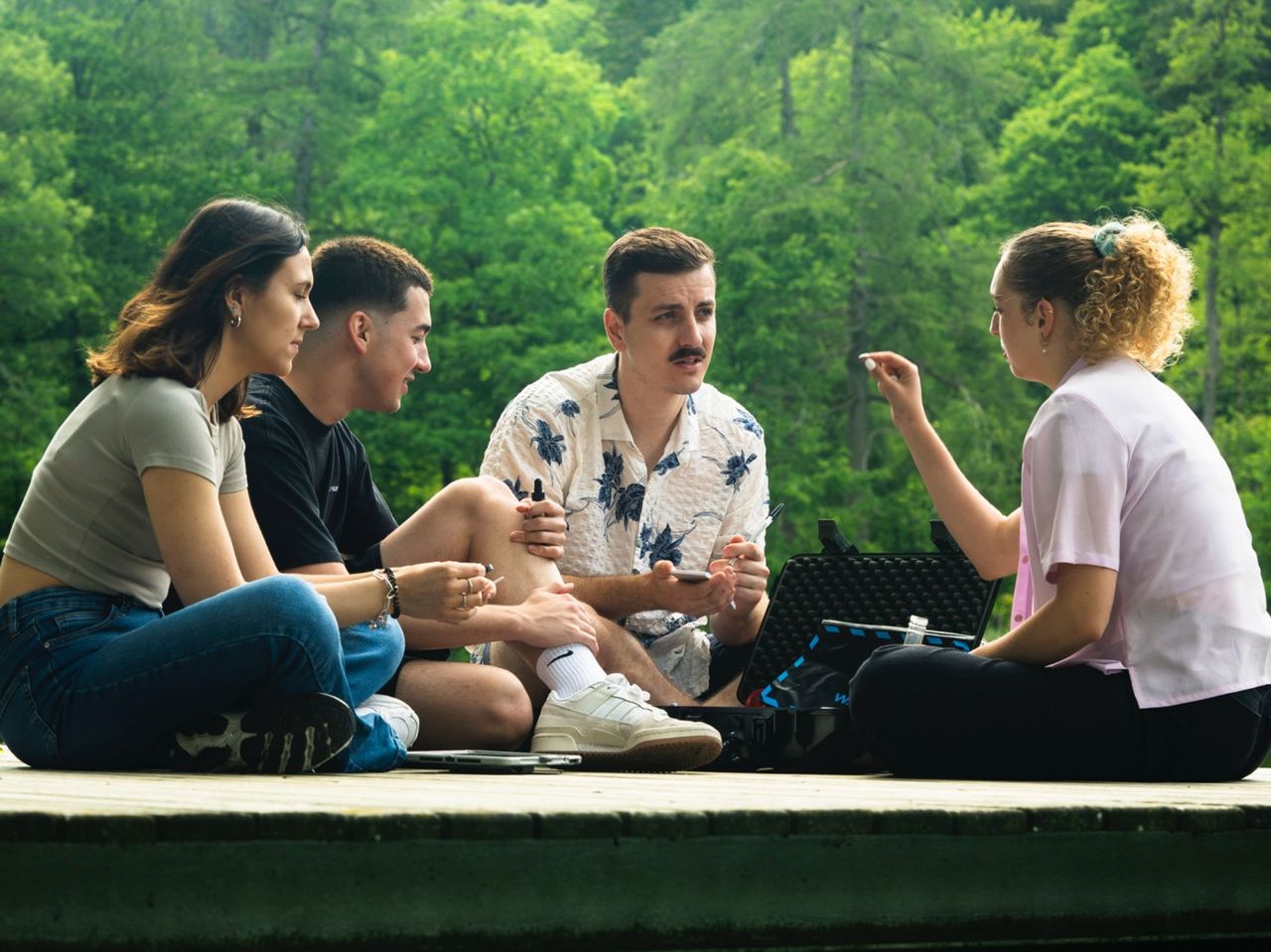 1/6
"Operation Mindfall" Escape Game St. Gallen
4.8(4)St. Gallen13 kmper person
from CHF 50