


Hiking Trail
Jura Crest Trail
- Hard
- ZH
- Distance
- 320 km
- Walking time
- 116 h 48 min
- Ascent
- 13’800 m
- Descent
- 13’800 m
- Highest point
- 1’672 m

Still have questions? Ask Alpi.
Alpi can help with routes, weather and everything worth knowing nearby.
Elevation profile
Point at a spot with your mouse
About this route
Der Jura Höhenweg verbindet in einem grosszügigen Bogen Zürich mit Genf. Die aussichtsreiche Ferntour durch zwei Sprachregionen bietet die Entdeckung einer vielfältigen, starken Landschaft. Sie ermöglicht Erholung fern vom hektischen Alltag und von Massentourismus.
Map
Getting there and tickets
- Public transport at startDielsdorf, BahnhofBus · 1 min walk to the trail
- Public transport at finishNyonTrain · 1 min walk to the trail
Sun, 25 Oct1 adult
Your hiking plan
from Zürich HB
The day
Pricing the ticket …
Zürich HB
Nyon
End of the route
Zürich HB
Popular activities
- Jura Crest Trail, Stage 1/16
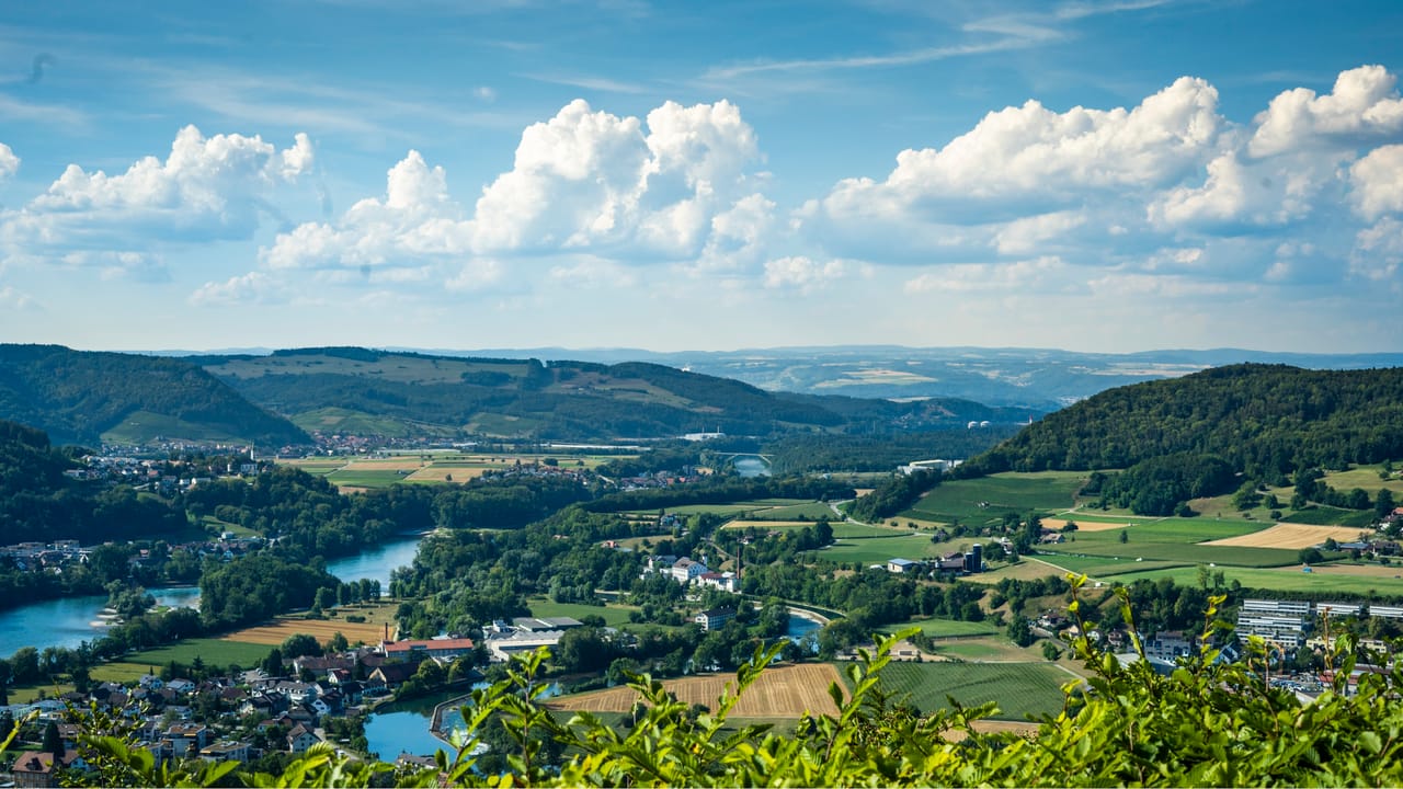
Jura Crest Trail, Stage 1/16
BergwanderwegDielsdorf → Brugg · 25 km · 8 h 50 min0 km - Range Rover - Jockey Club Renntag , 19.09.2027
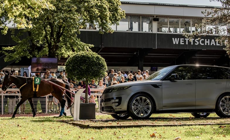
Range Rover - Jockey Club Renntag , 19.09.2027
EventDielsdorf1.4 km - Zurich Segway guided tour public
 1/4
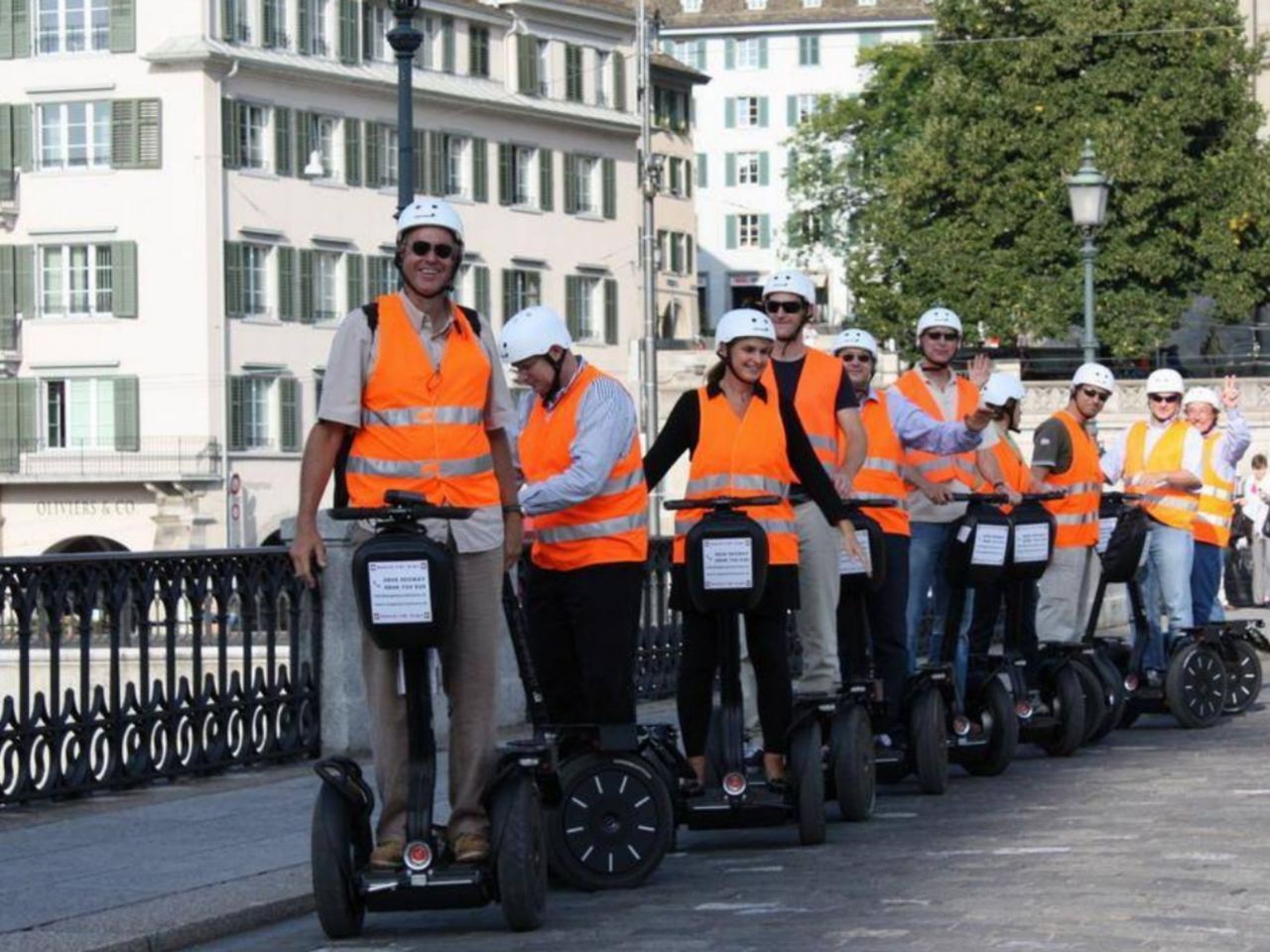
Zurich Segway guided tour public
Zurich14 kmper person
from CHF 109
- Ticket Swiss National Museum Zurich
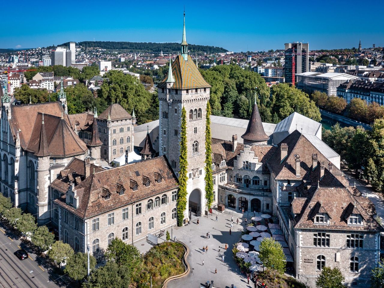 1/17
Ticket Swiss National Museum Zurich
5.0(6)Zurich15.2 kmper person
from CHF 13
- Private city tour in Zurich with the Stadtflüsterern
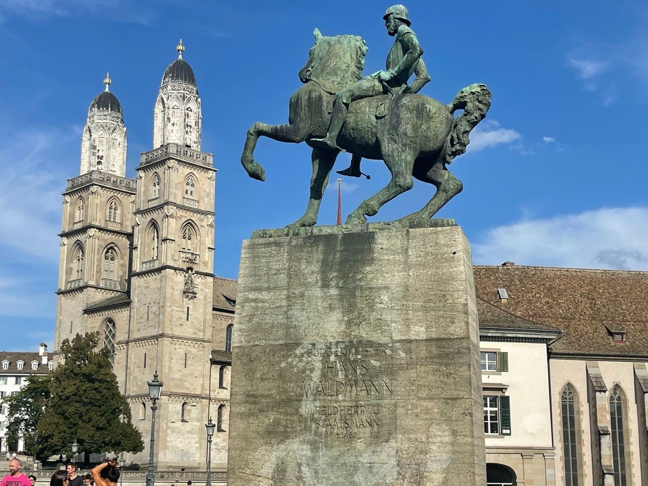 1/5
Private city tour in Zurich with the Stadtflüsterern
5.0(6)Zurich15.4 kmper person
from CHF 53.35


