Hiking Trail
Hüttchopf Weg
- Mountain hiking trail
- Medium
- ZH
- Distance
- 14 km
- Walking time
- 5 h 19 min
- Ascent
- 640 m
- Descent
- 720 m
- Highest point
- 1’231 m
Elevation profile
Point at a spot with your mouse
About this route
Der Hüttchopf, am Westrand des Tier- und Pflanzenschutzgebietes gelegen, bietet den besten Überblick über das Quellgebiet der Töss und die Bergwelt des Zürcher Oberlandes.
Map
Getting there and tickets
- Public transport at startSteg im Tösstal, BahnhofBus · 1 min walk to the trail
- Public transport at finishWald ZH, BahnhofBus · 1 min walk to the trail
Sat, 24 Oct1 adult
Your hiking plan
from Zürich HB
The day
Pricing the ticket …
Zürich HB
Wald ZH, Bahnhof
End of the route
Zürich HB
Popular activities
- Züri Oberland-Höhenweg, Stage 3/4
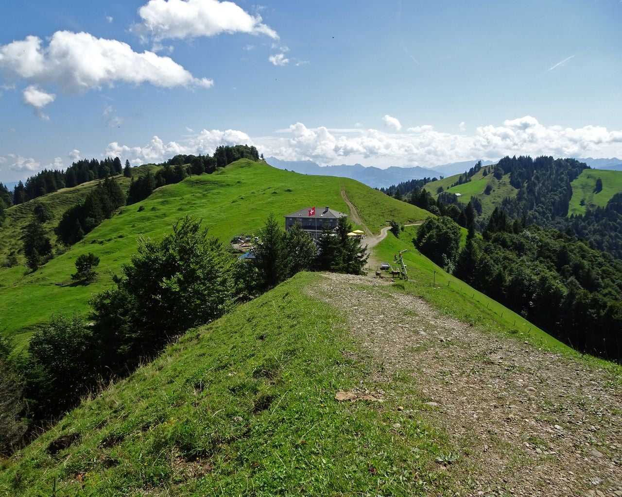

Züri Oberland-Höhenweg, Stage 3/4
BergwanderwegHulftegg → Chrüzegg · 11 km · 4 h 47 min5 km - Toggenburger Höhenweg, Stage 6/6
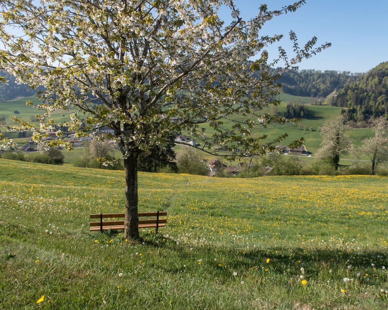

Toggenburger Höhenweg, Stage 6/6
WanderwegHulftegg → Wil SG · 22 km · 7 h 39 min5 km - Flight in an open vintage biplane over the Zurich Oberland
 1/3
Flight in an open vintage biplane over the Zurich Oberland
Zurich15.3 kmper person
from CHF 430
- Raclette Ship Zurich Lake from Rapperswil
 1/8
Raclette Ship Zurich Lake from Rapperswil
Rapperswil-Jona21.1 kmper person
from CHF 69