Cycling routes
Nord Vaudois–Jura, Stage 3/3
- Hard
- NE
- Distance
- 30 km
- Ascent
- 1’000 m
- Descent
- 560 m
- Highest point
- 1’329 m

Still have questions? Ask Alpi.
Alpi can help with routes, weather and everything worth knowing nearby.
Elevation profile
Point at a spot with your mouse
About this route
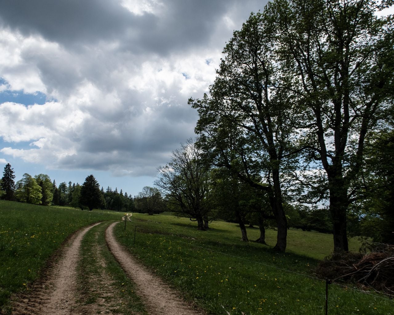
Die dritte Etappe der Nord Vaudois-Jura Route führt von den Weizenfeldern ins Weinbaugebiet. Der Startpunkt ist Corcelles neben Neuenburg. Der höchste Anstieg führt auf den Tête de Ran auf 1329 Meter Höhe . Im Anschluss verläuft der Veloweg hinunter nach La Chaux-de-Fonds, einer Stadt mit einem geometrisch angelegten Stadtplan.
Map
Getting there and tickets
- Public transport at startCorcelles NE, égliseBus · 1 min walk to the trail
- Public transport at finishLa Chaux-de-Fonds, gareBus · 1 min walk to the trail
Popular activities
- Recital de colinde cu Ștefan Hrușcă la Neuchâtel

Recital de colinde cu Ștefan Hrușcă la Neuchâtel
EventNeuchâtel0.3 km - Foxtrail GO Neuchâtel digital scavenger hunt
 1/4
Foxtrail GO Neuchâtel digital scavenger hunt
5.0(1)Neuchâtel4 kmper person
from CHF 19
- Chasseral–Weissenstein Bike, Stage 2/3
Chasseral–Weissenstein Bike, Stage 2/3
Mountain bike routesNeuchâtel → Sonceboz-Sombeval · 44 km4.8 km - Chasseral–Weissenstein Bike
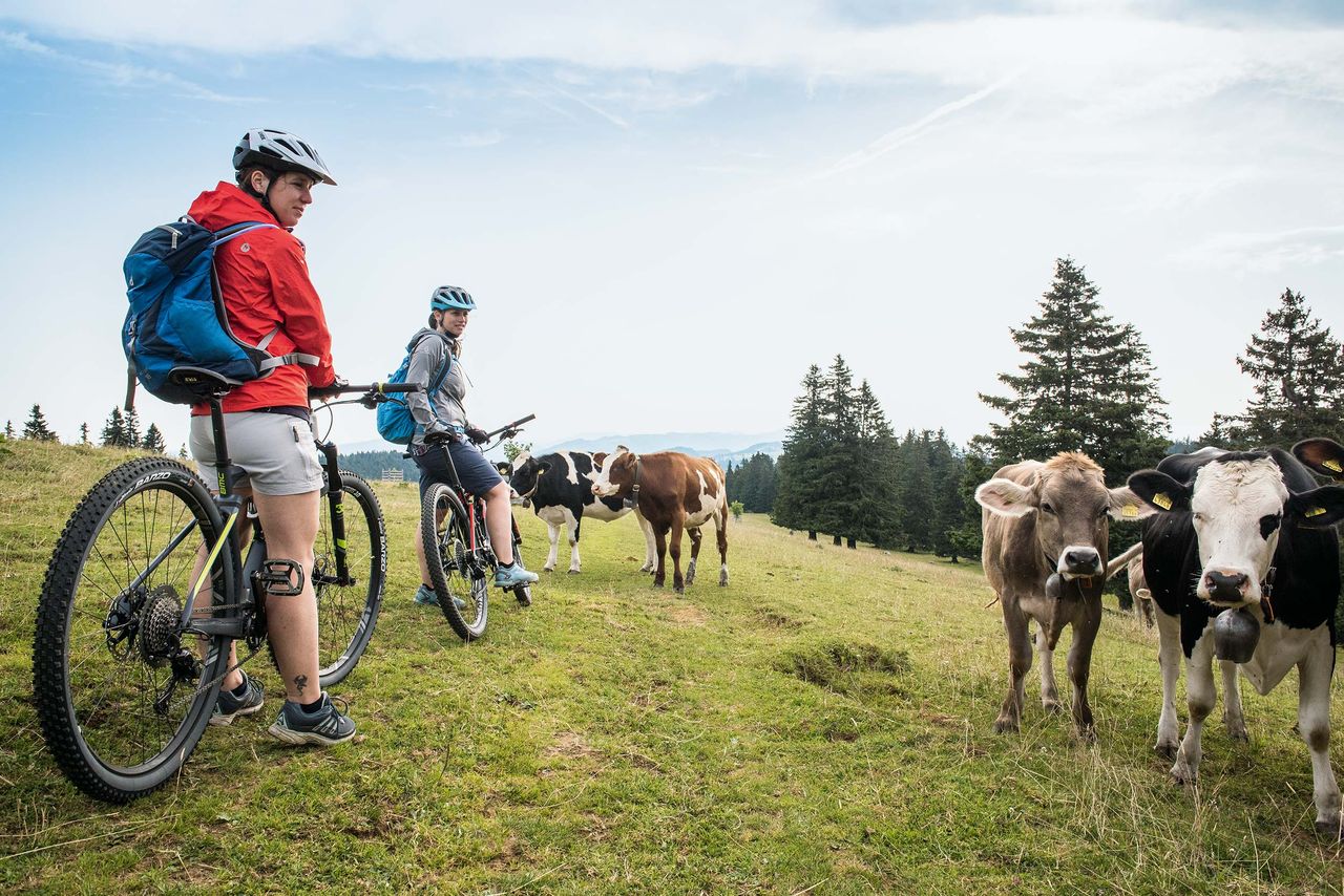
Chasseral–Weissenstein Bike
Mountain bike routesNeuchâtel → Balsthal · 110 km4.8 km - Neuchâtel Bike, Stage 1/4
Neuchâtel Bike, Stage 1/4
Mountain bike routesNeuchâtel → La Chaux-de-Fonds · 49 km4.9 km - Sentier des Statues
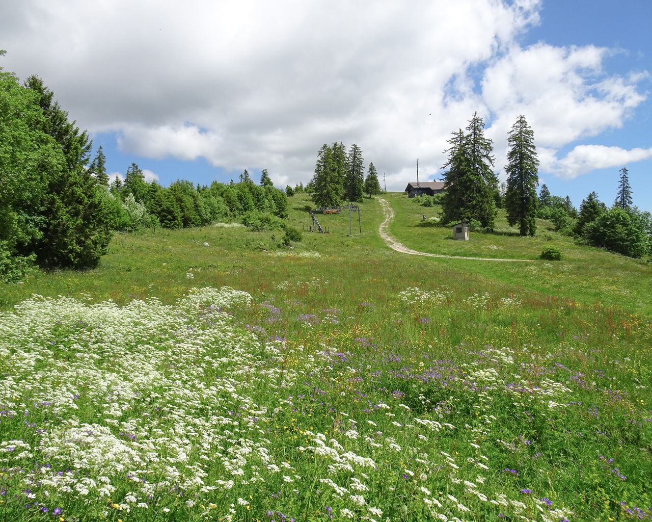

Sentier des Statues
WanderwegLes Hauts Geneveys → La Sagne · 12 km · 4 h 58 min9.5 km - "Find-the-Code: Return of the Fighting Times" Outdoor Escape Game Murten
 1/5
"Find-the-Code: Return of the Fighting Times" Outdoor Escape Game Murten
4.0(1)Murten34.6 kmper person
from CHF 8
- "The Original" History of Murten City Tour
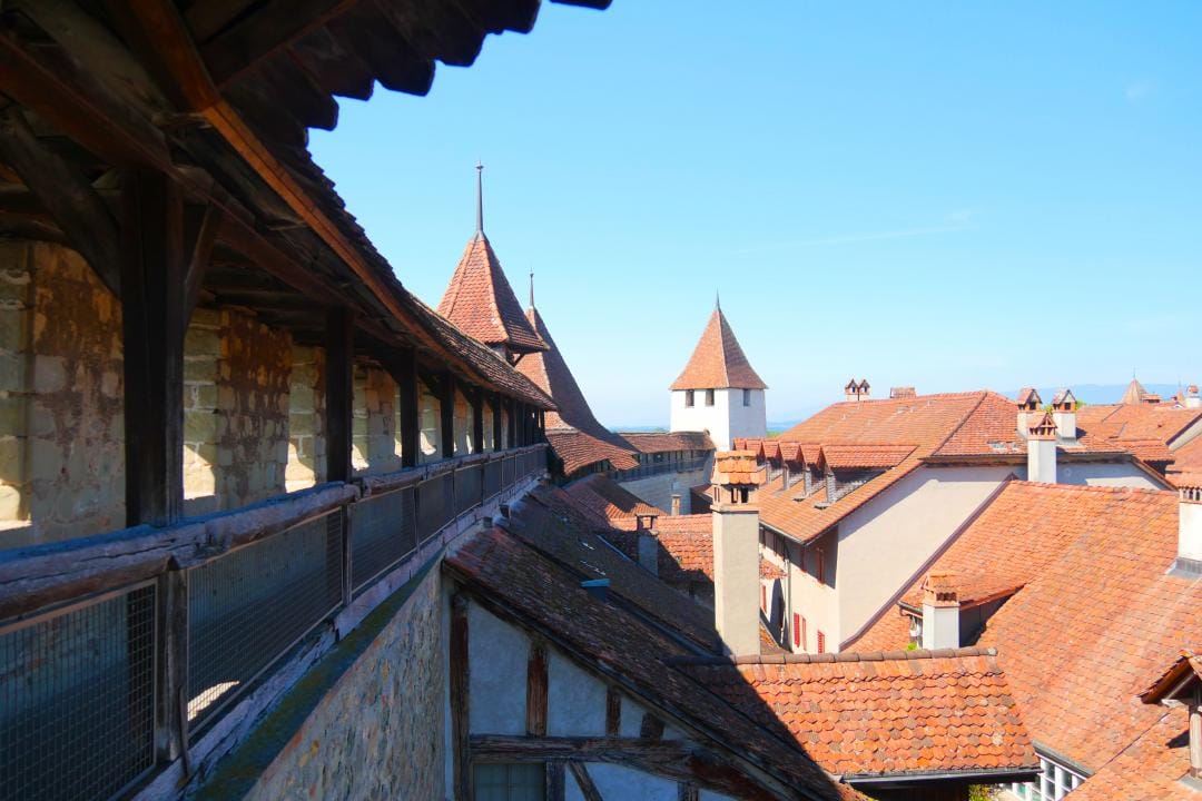 1/10
"The Original" History of Murten City Tour
4.9(10)Murten34.7 kmper person
from CHF 15