Cycling routes
Alpine Panorama Route, Stage 1/9
- Hard
- SG
- Distance
- 46 km
- Ascent
- 1’100 m
- Descent
- 740 m
- Highest point
- 967 m

Still have questions? Ask Alpi.
Alpi can help with routes, weather and everything worth knowing nearby.
Elevation profile
Point at a spot with your mouse
About this route
Ein stetes Auf und Ab im hügeligen Appenzellerland; «jedes zweite Haus eine Beiz», sagt man. Es ist ein eigentümliches und friedliches Bauernland, eine fein gegliederte Landschaft am Fuss des Säntis, geprägt von urtümlichem Dialekt und schalkhaftem Witz.
Map
Getting there and tickets
- Public transport at startSt. Margrethen SG, BahnhofBus · 1 min walk to the trail
- Public transport at finishAppenzell, AdlerplatzBus · 2 min walk to the trail
Popular activities
- Rheintaler Höhenweg, Stage 2/6
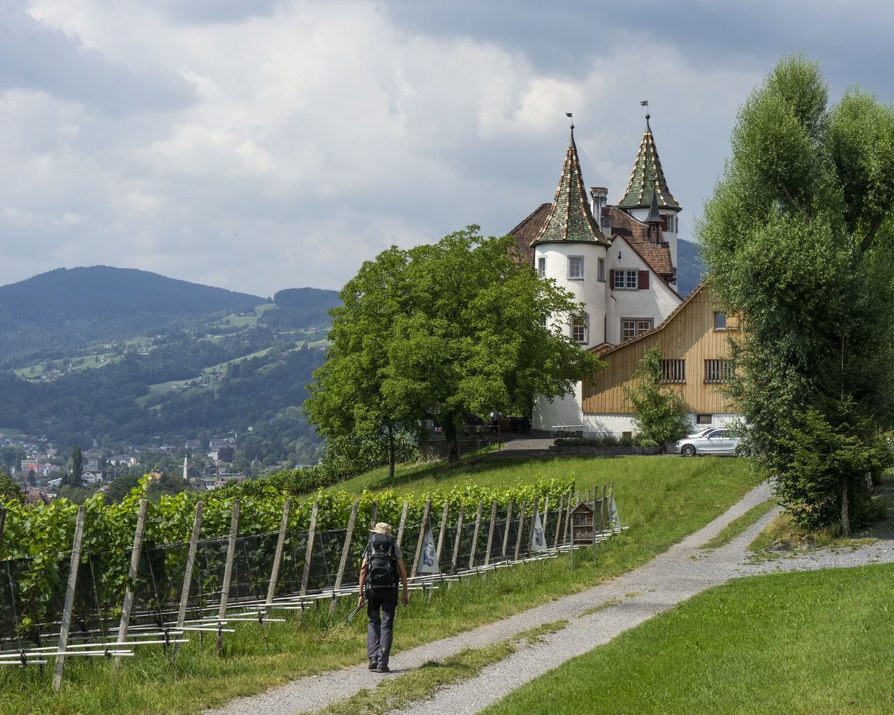
Rheintaler Höhenweg, Stage 2/6
WanderwegBerneck → Altstätten · 13 km · 4 h 49 min5.5 km - "SECTOR" Activate Room St. Gallen
 1/8
"SECTOR" Activate Room St. Gallen
5.0(1)St. Gallen30.6 kmper person
from CHF 29
- "The Magic Portal" Escape Game St. Gallen
 1/6
"The Magic Portal" Escape Game St. Gallen
4.9(9)St. Gallen30.9 kmper person
from CHF 50
- "Operation Mindfall" Escape Game St. Gallen
 1/6
"Operation Mindfall" Escape Game St. Gallen
4.8(4)St. Gallen30.9 kmper person
from CHF 50