79 results
- Jetboat Interlaken Lake Brienz from Bönigen
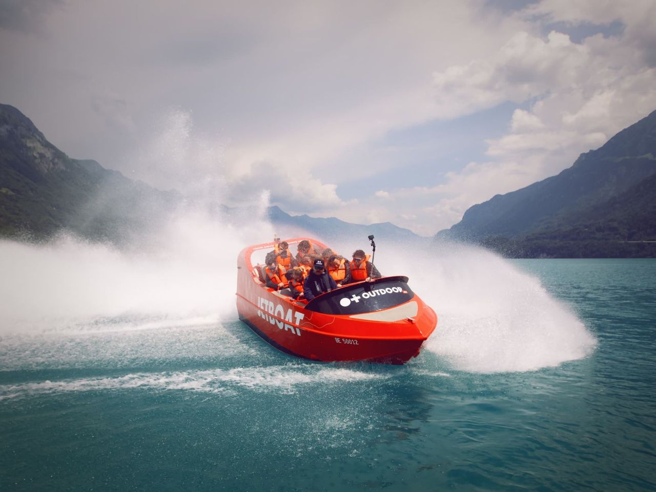
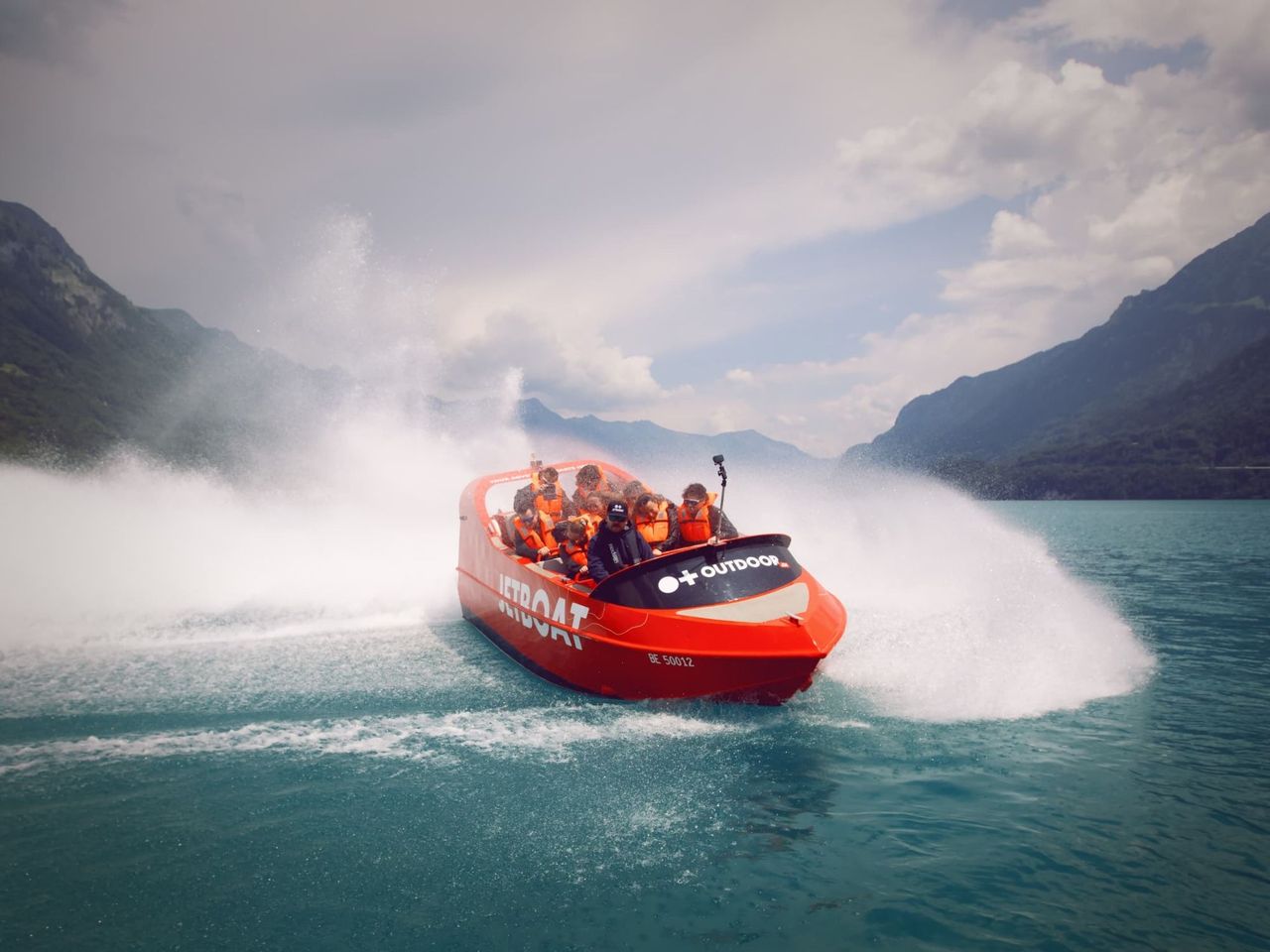
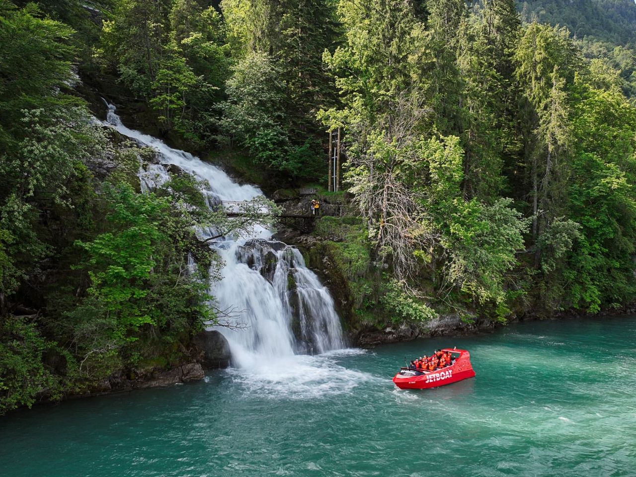
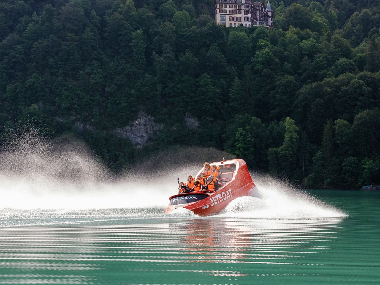
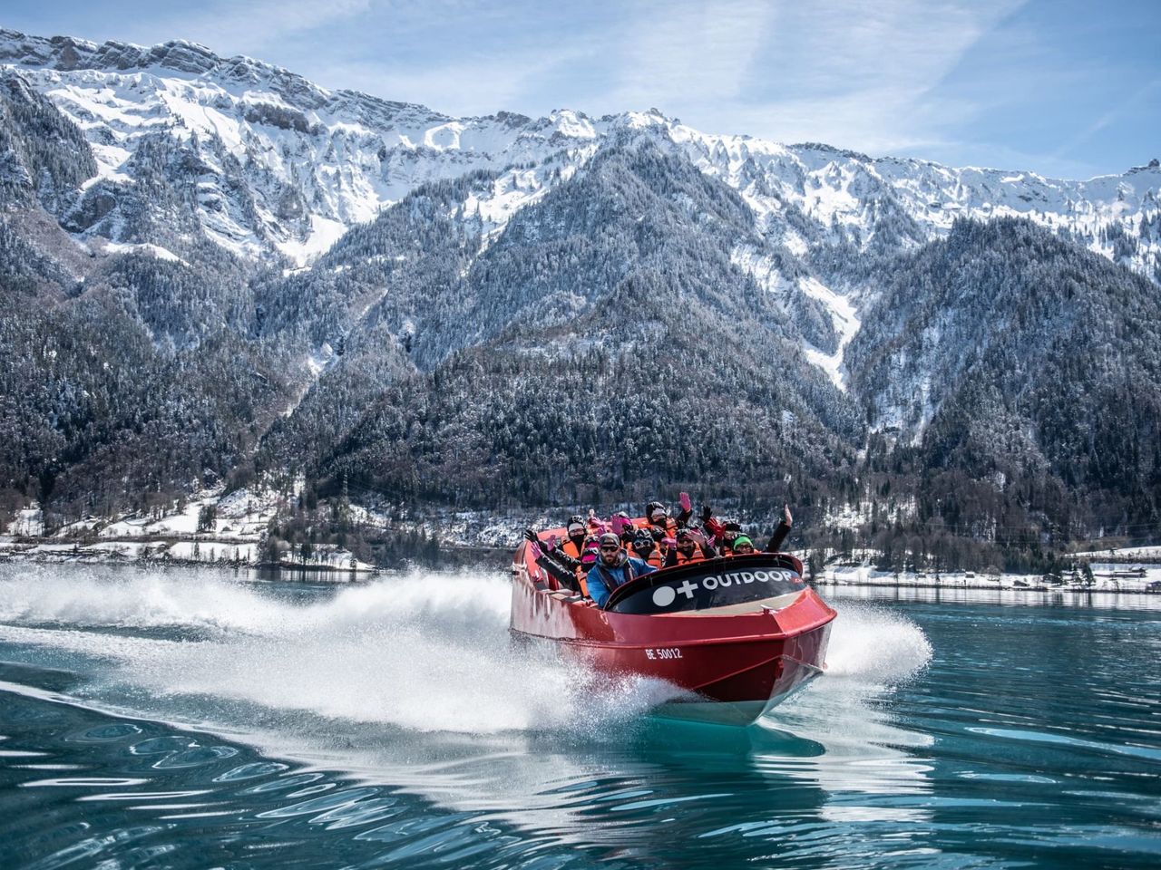
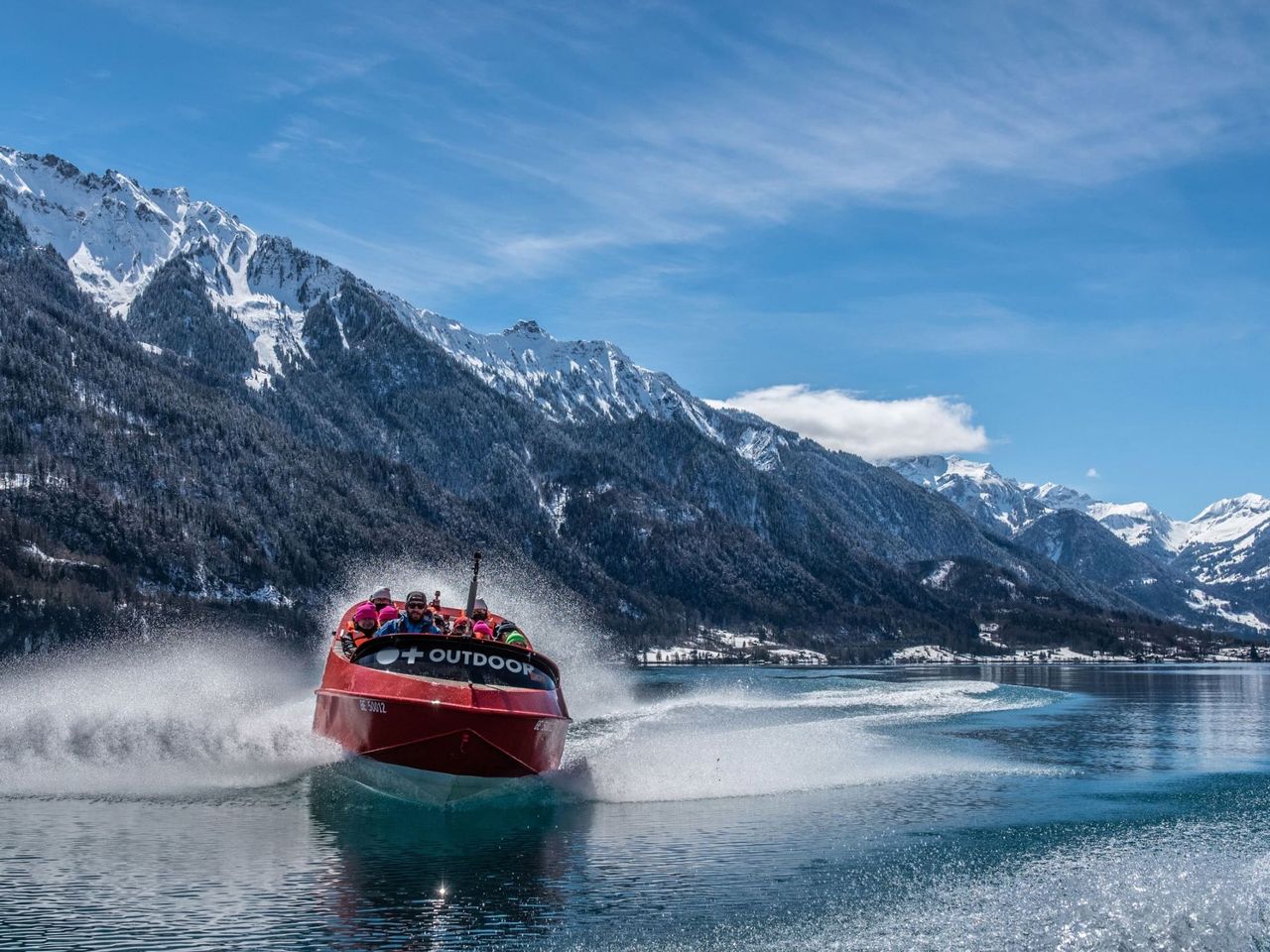
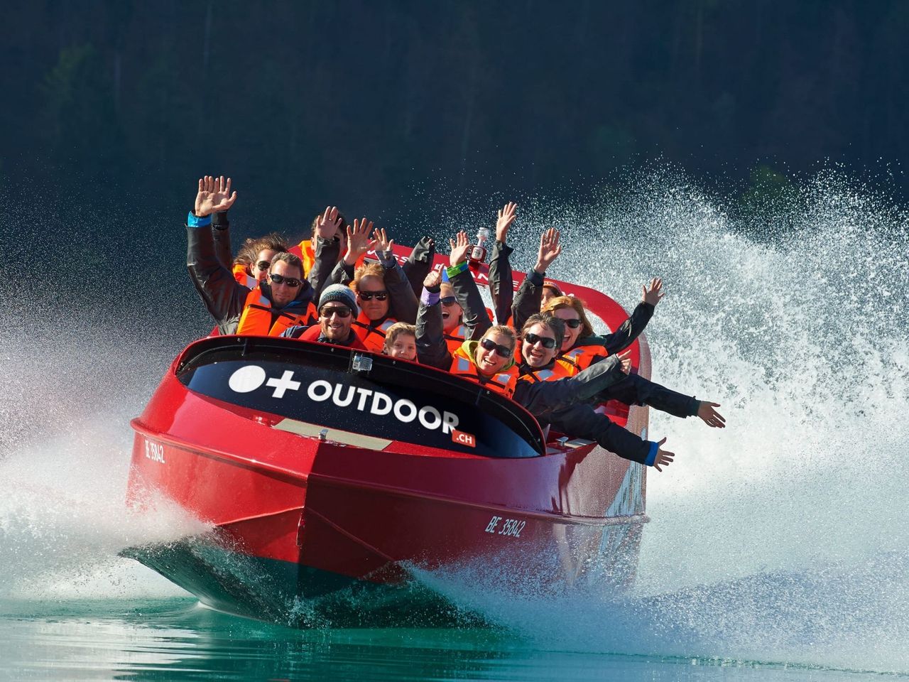
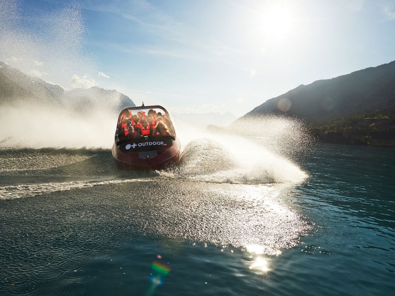
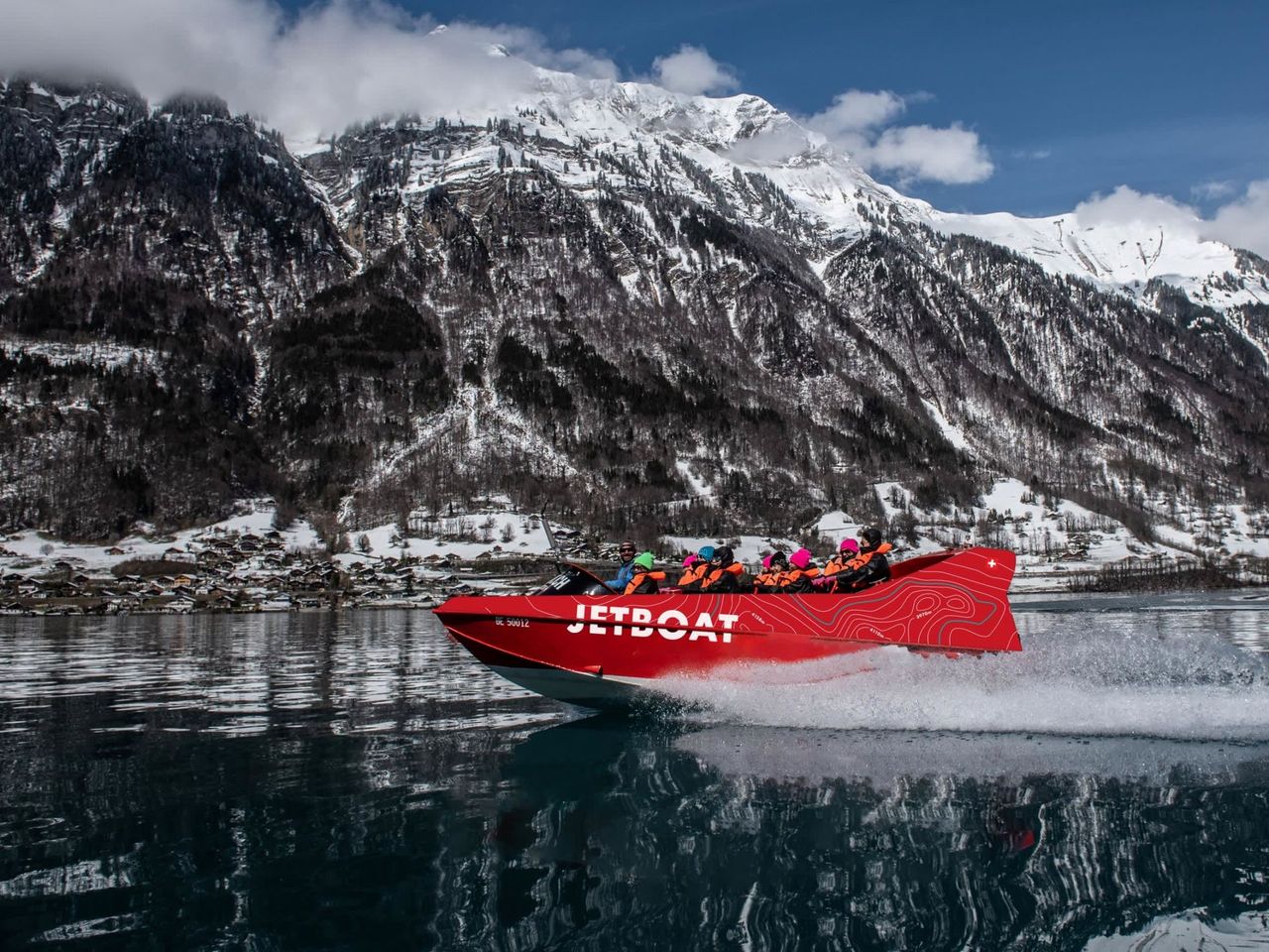
Jetboat Interlaken Lake Brienz from Bönigen
4.9(70)InterlakenTop ratedper person
from £76
- Rafting in the Simmental from Därstetten
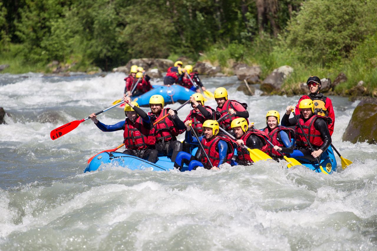
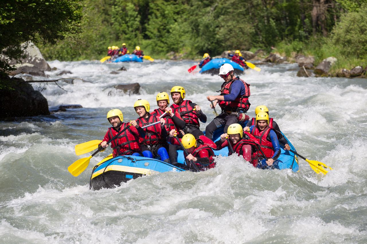
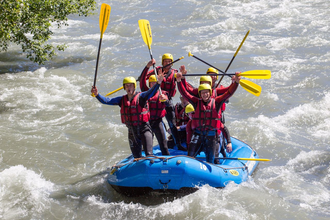
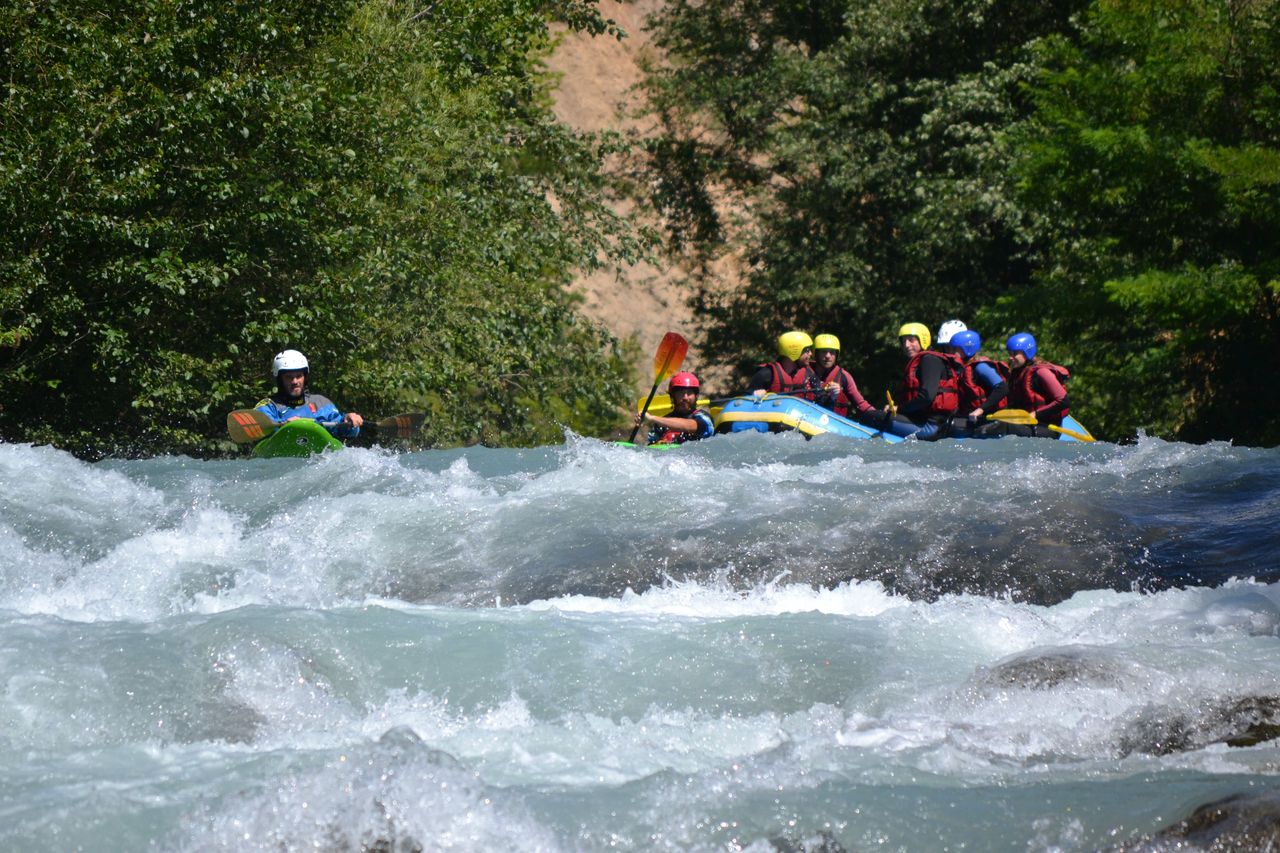
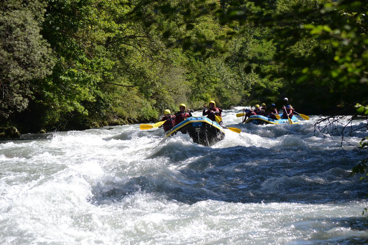
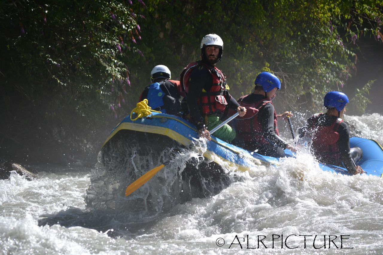
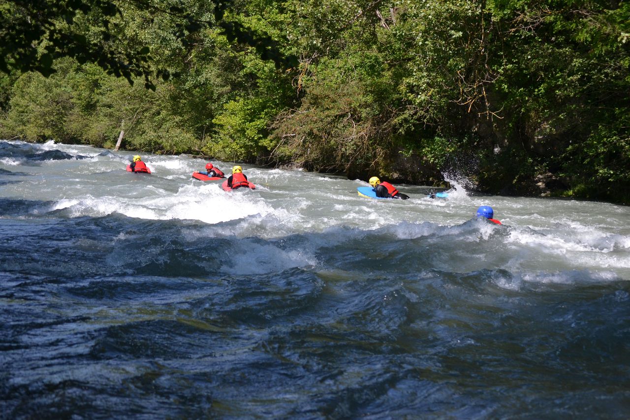
Rafting in the Simmental from Därstetten
4.9(12)Därstettenper person
from £130
- Simme rafting from Interlaken or Därstetten
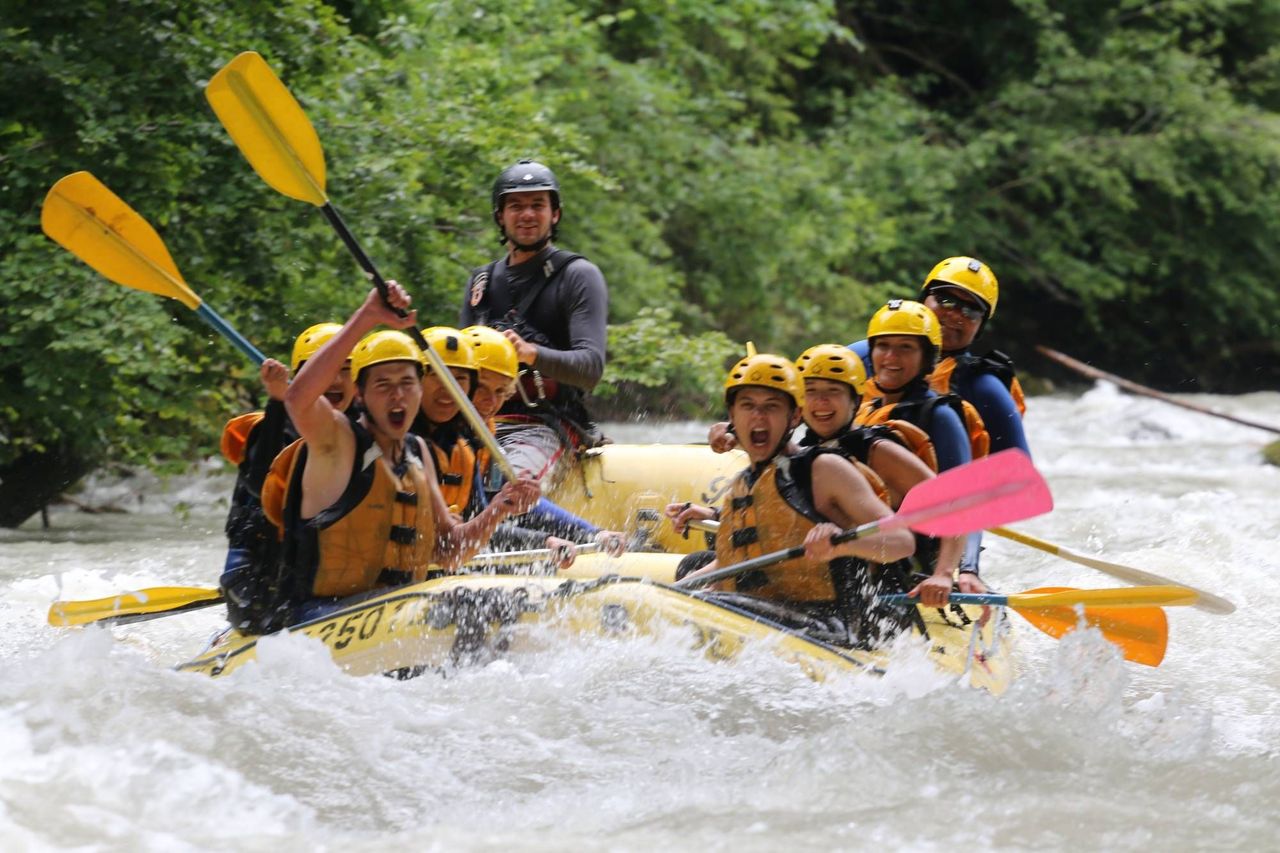
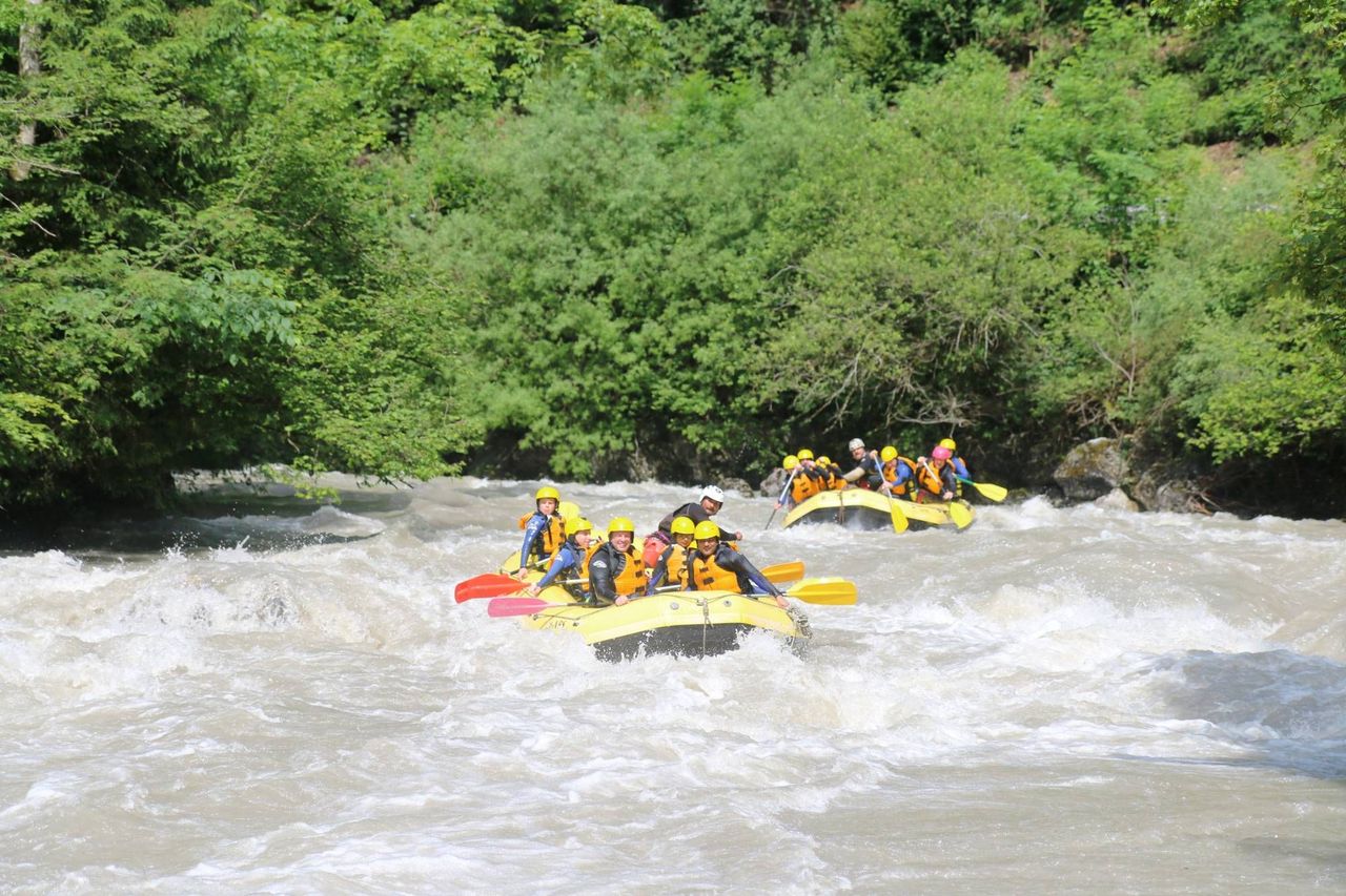
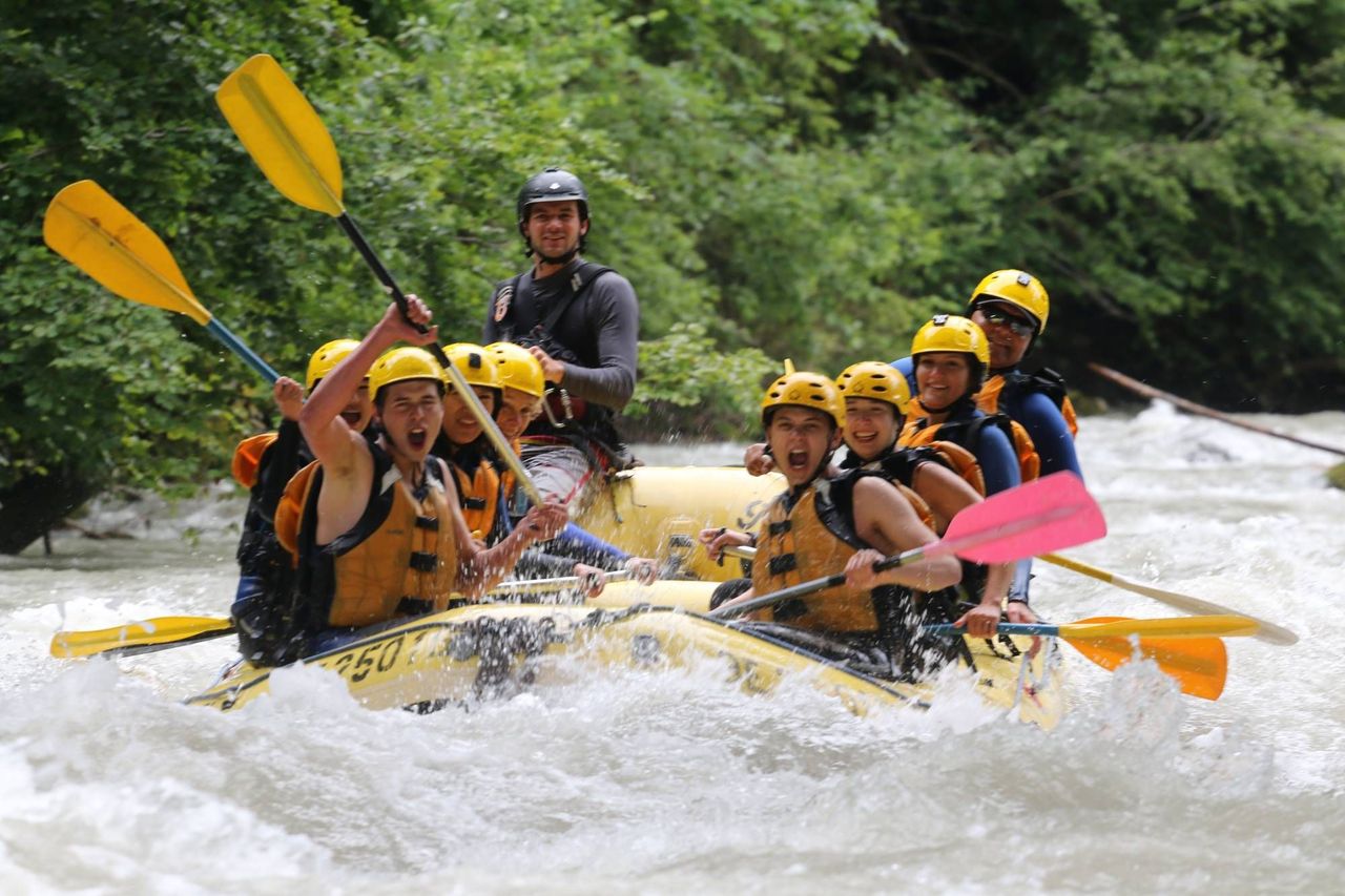
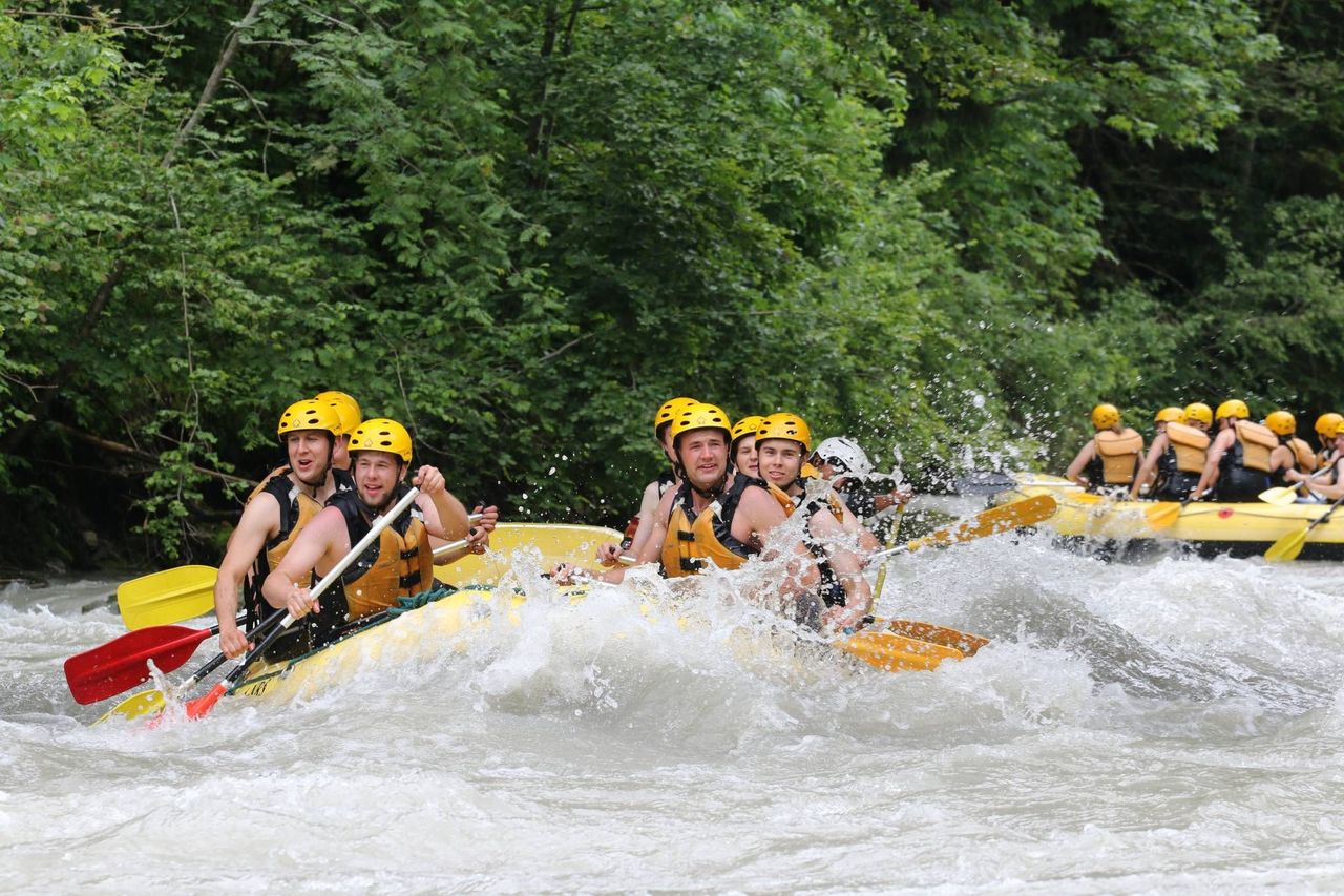
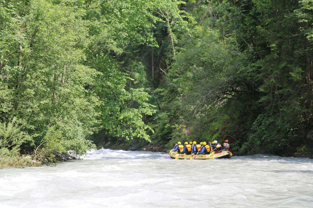
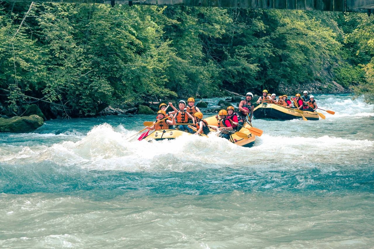
Simme rafting from Interlaken or Därstetten
4.8(4)Därstettenper person
from £124
- Rafting for 3-6 people: Rent a rubber dinghy
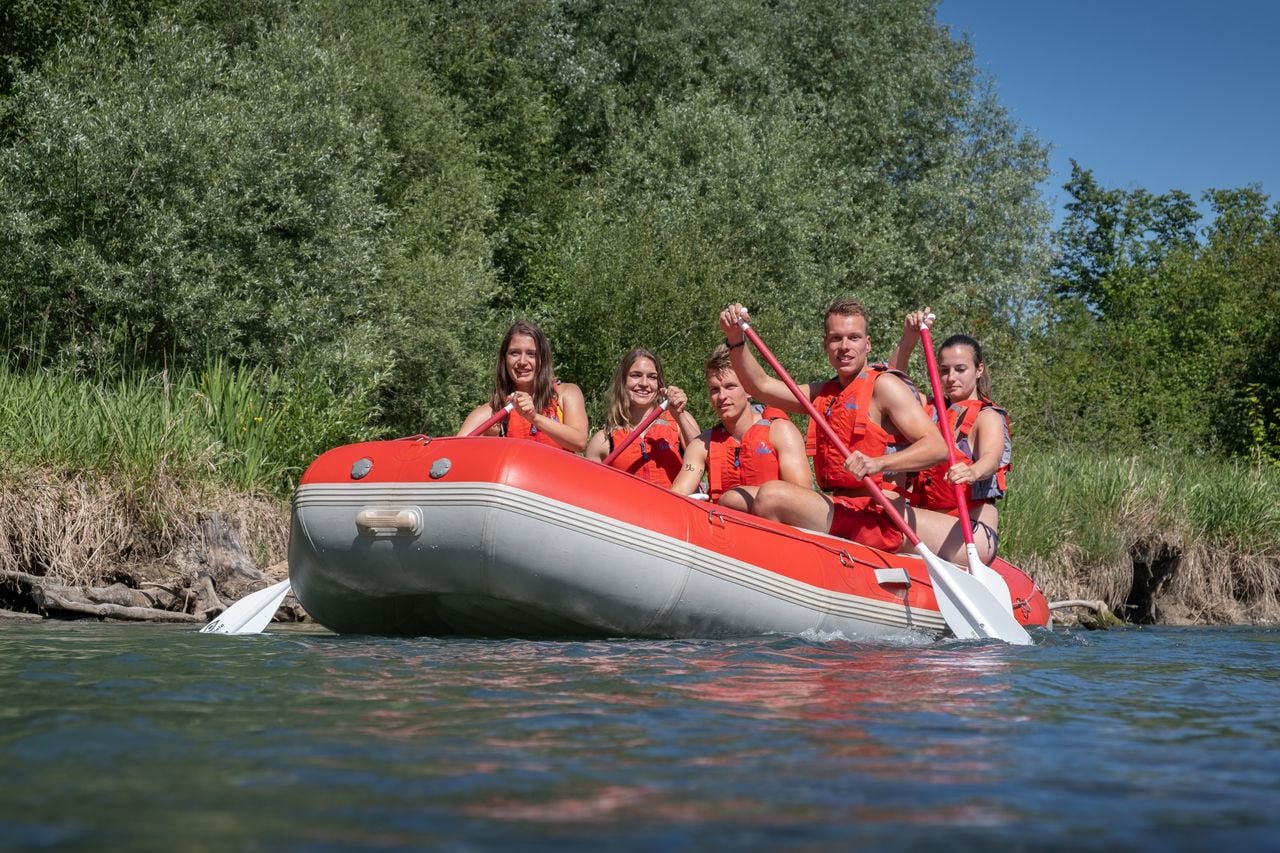
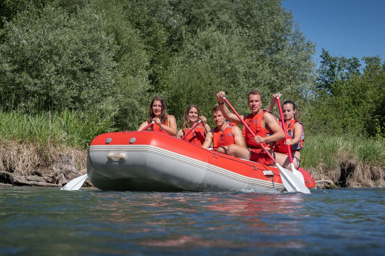
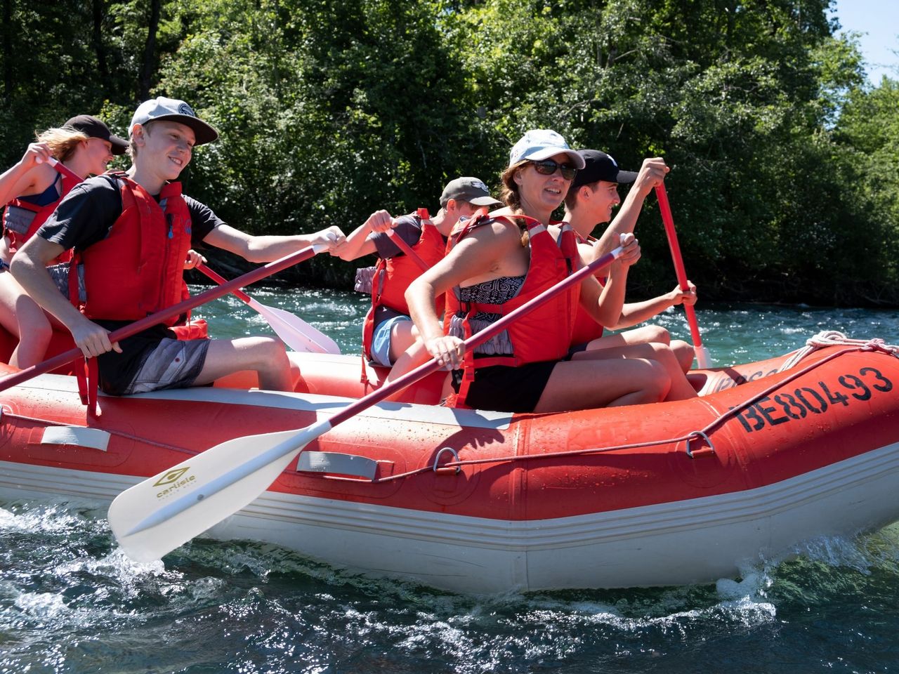
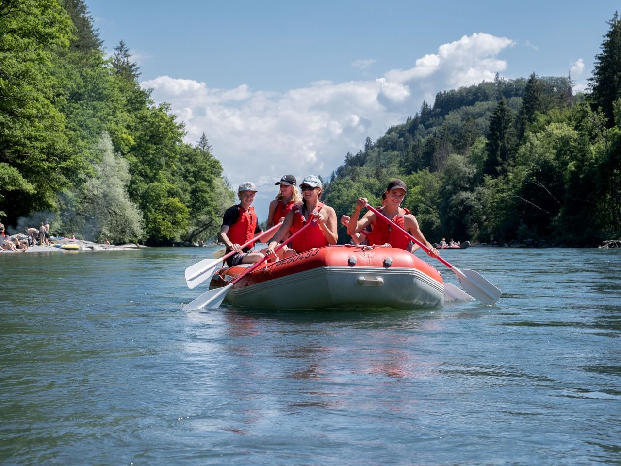
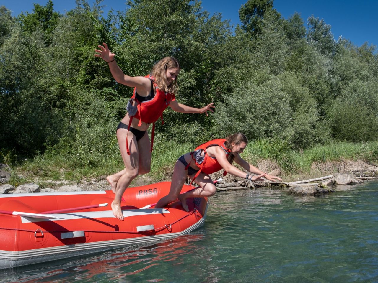
Rafting for 3-6 people: Rent a rubber dinghy
4.5(2)Thunper person
from £182
- Canyoning in the Saxetenschlucht from Interlaken
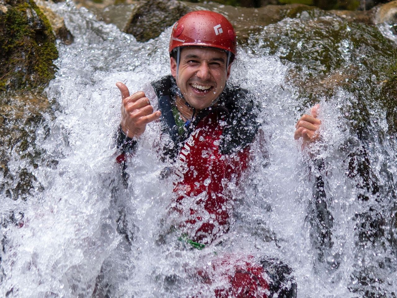
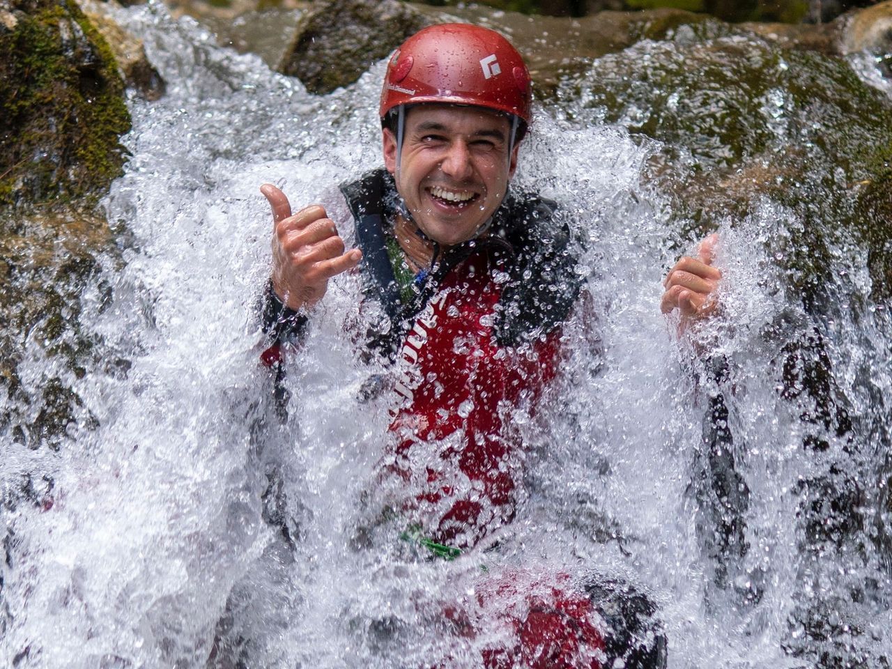
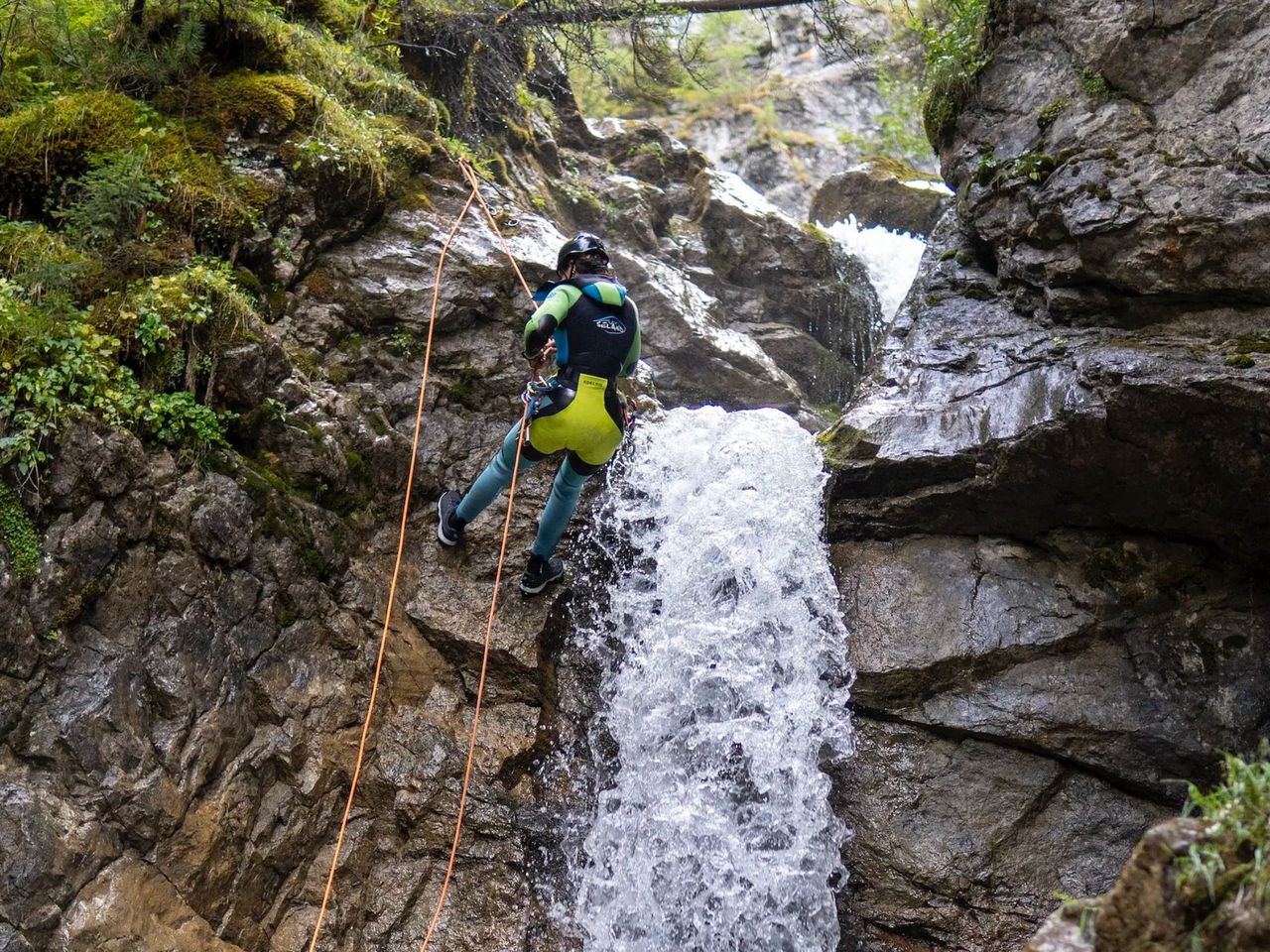
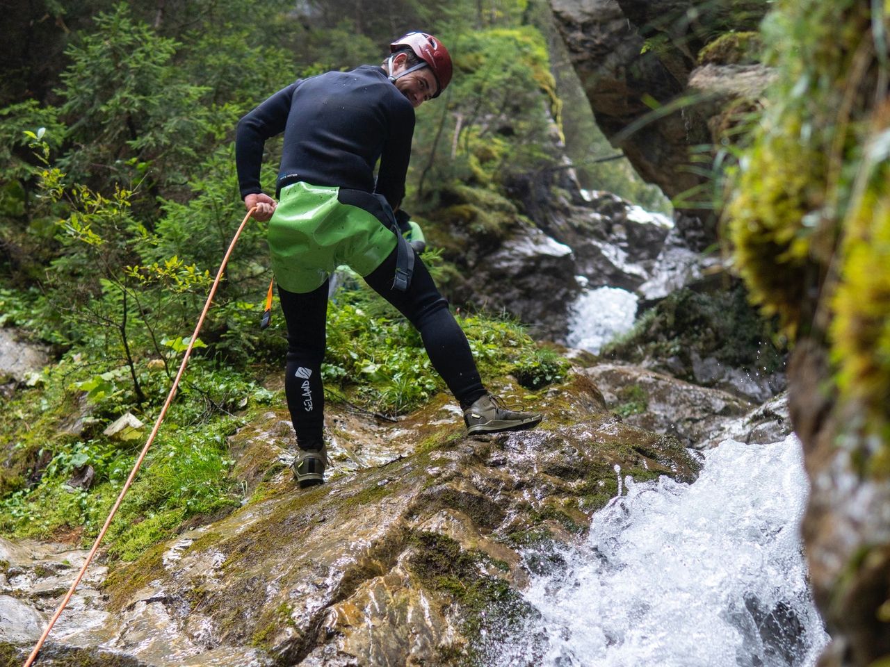
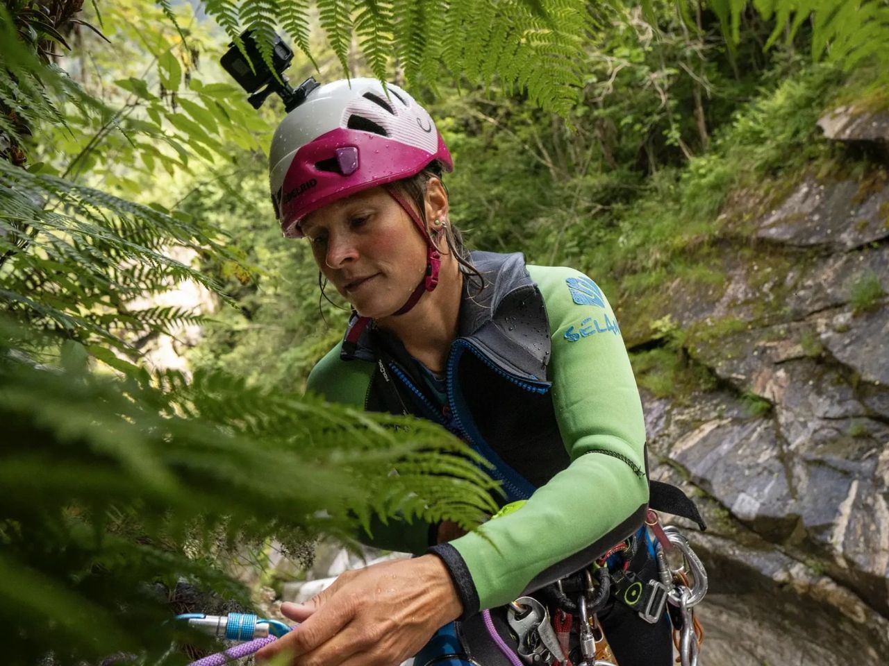
Canyoning in the Saxetenschlucht from Interlaken
5.0(2)Interlakenper person
from £143
- White water rafting Lütschine Interlaken
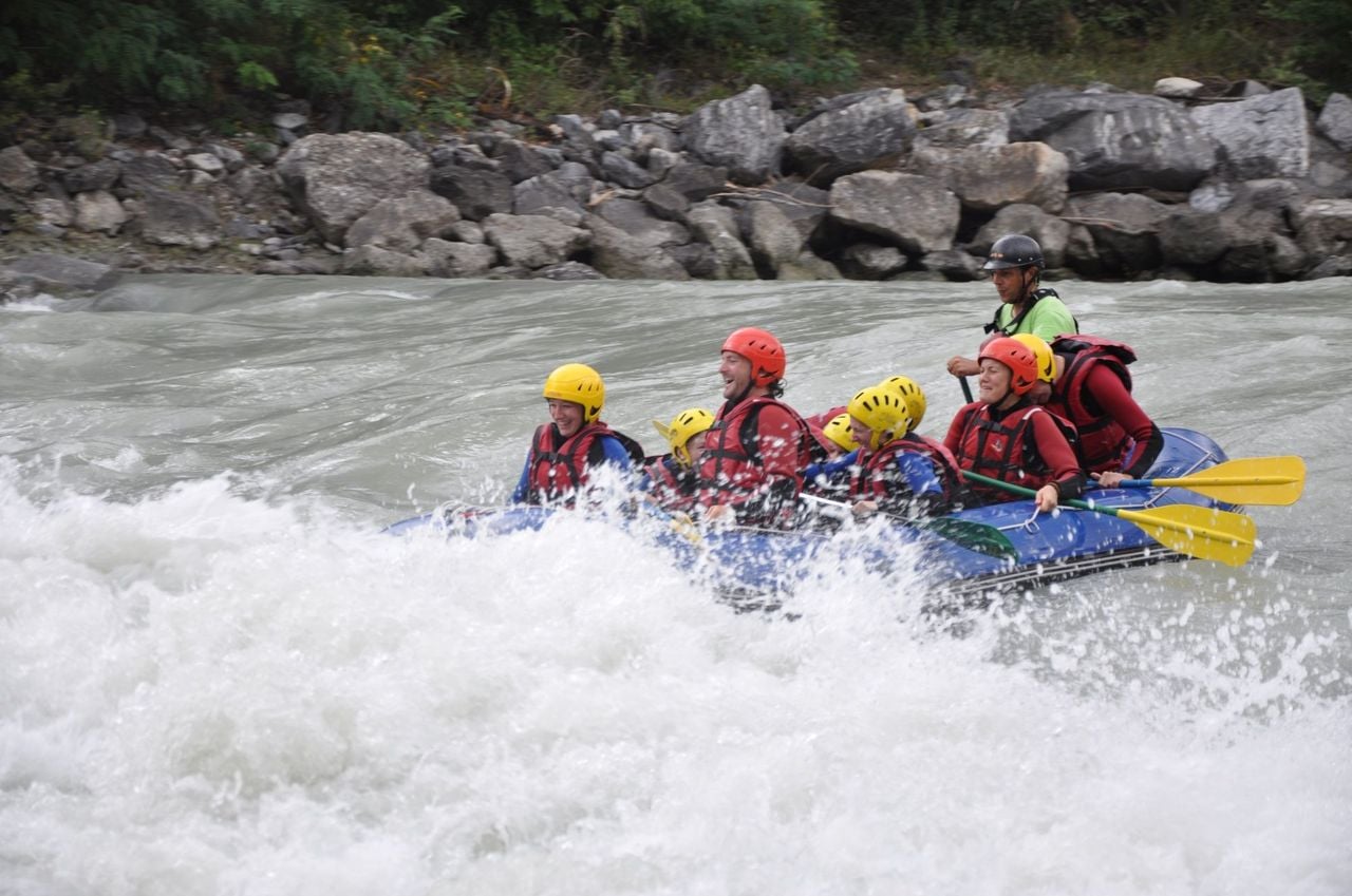
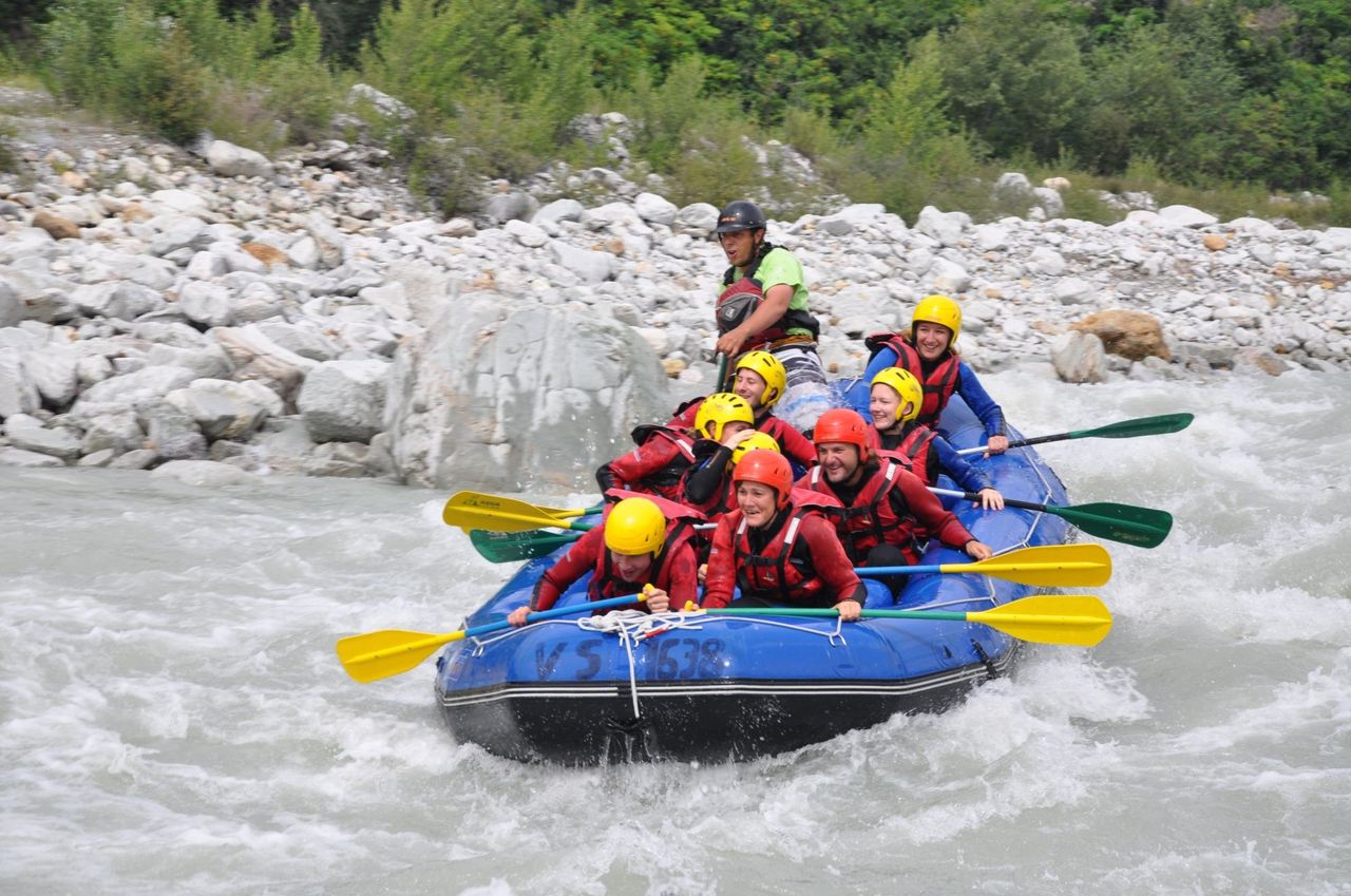
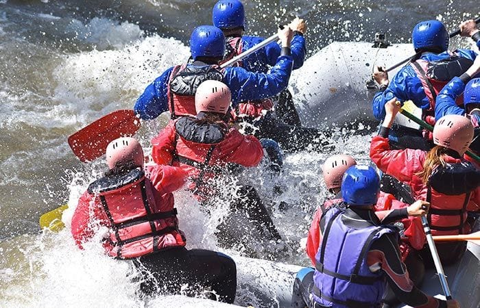
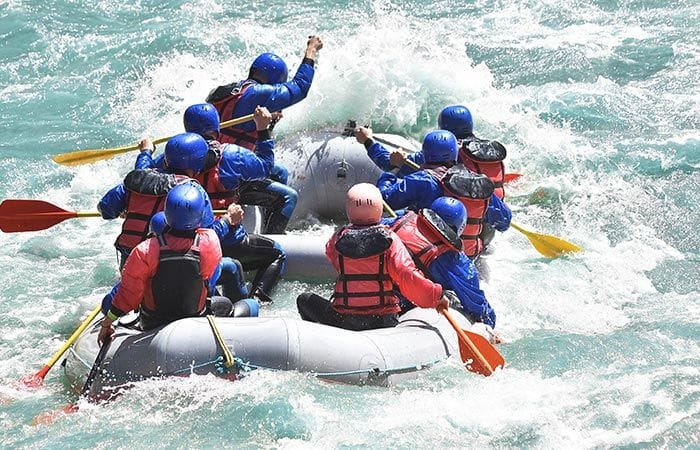
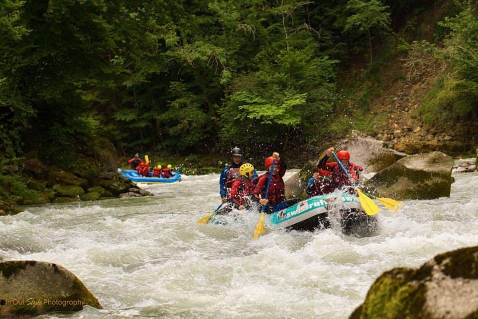
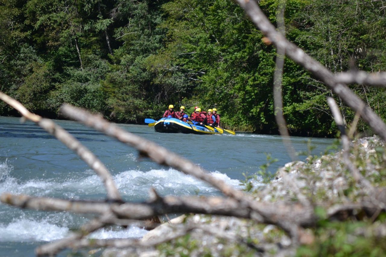
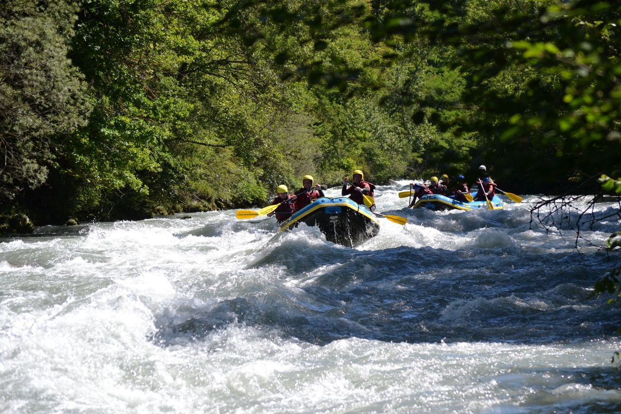
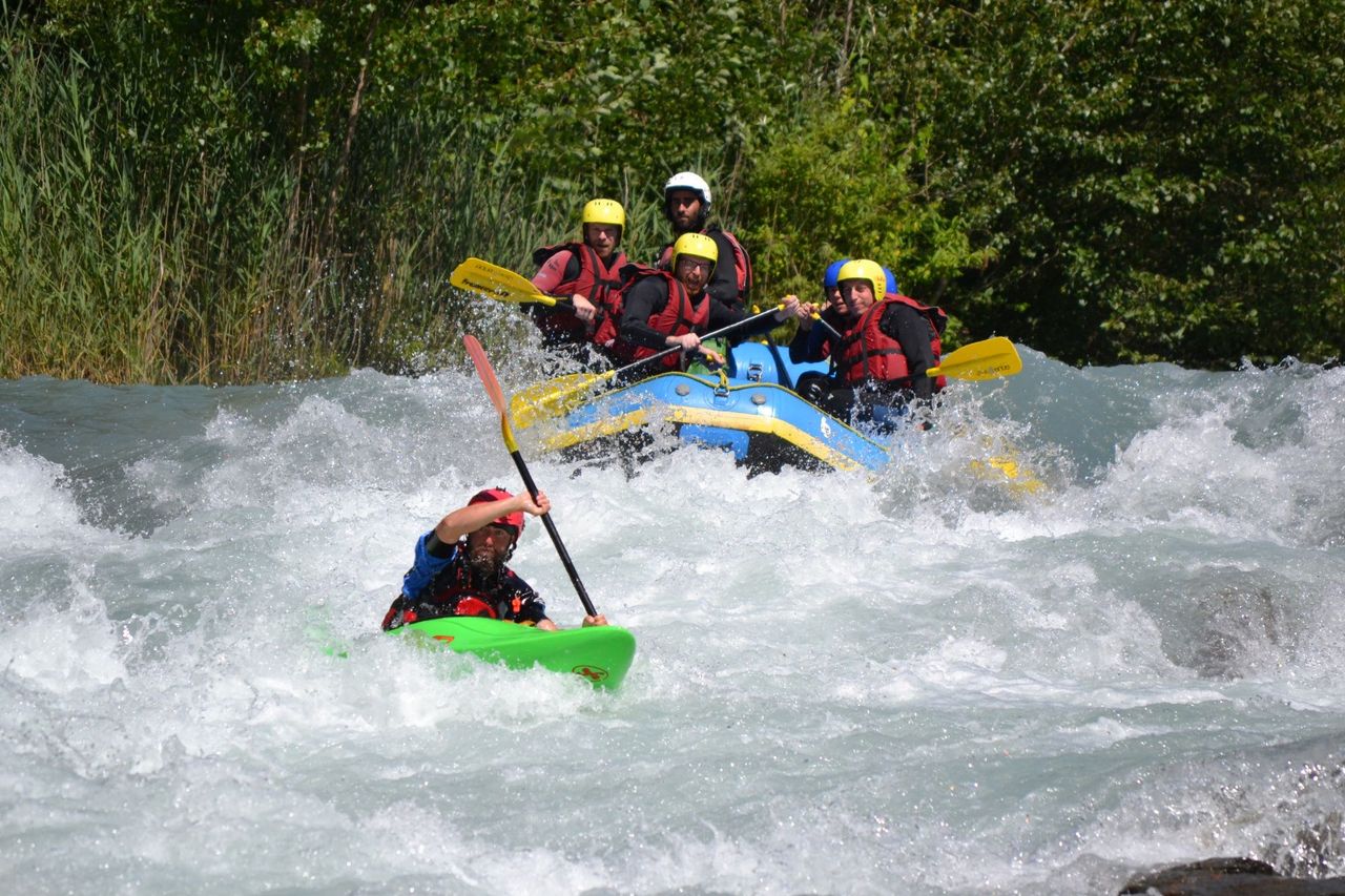
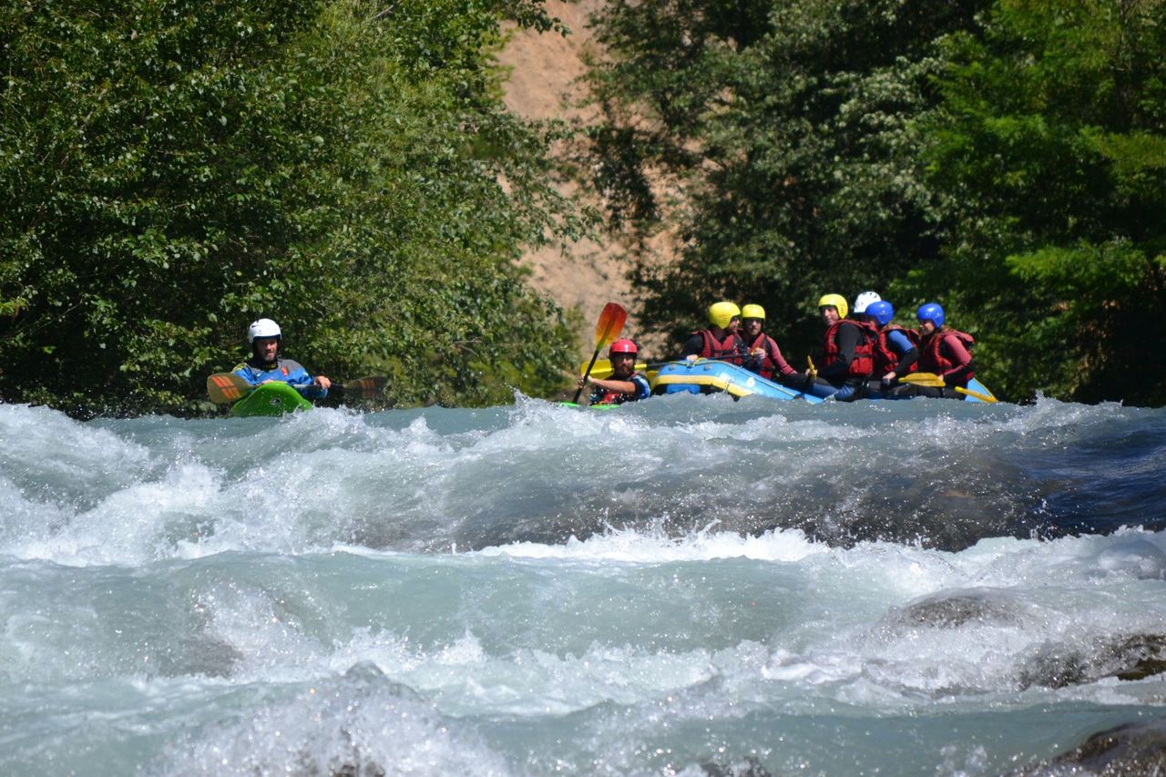
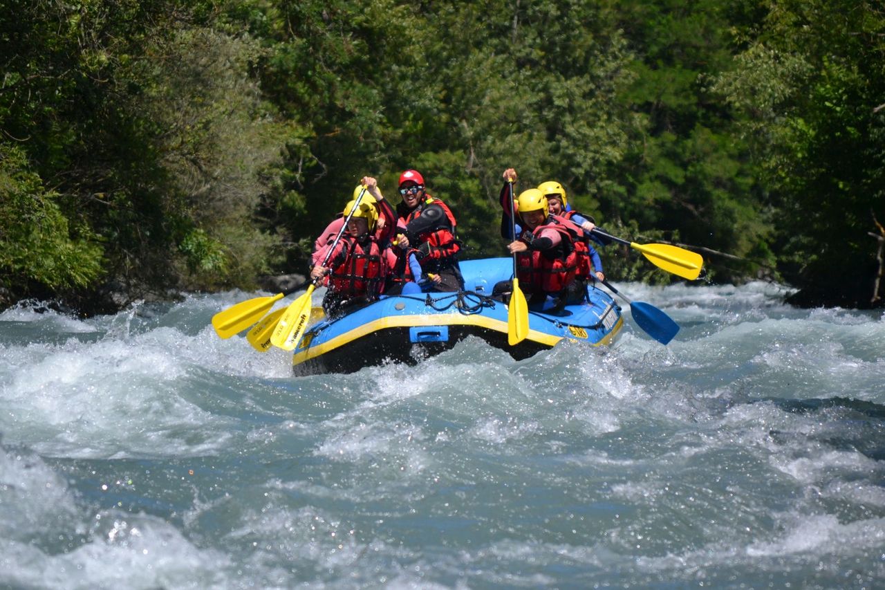
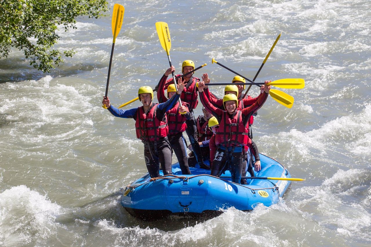
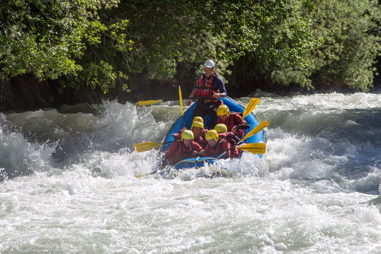
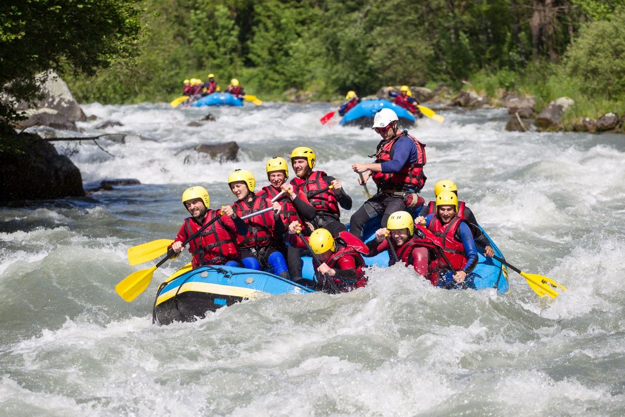
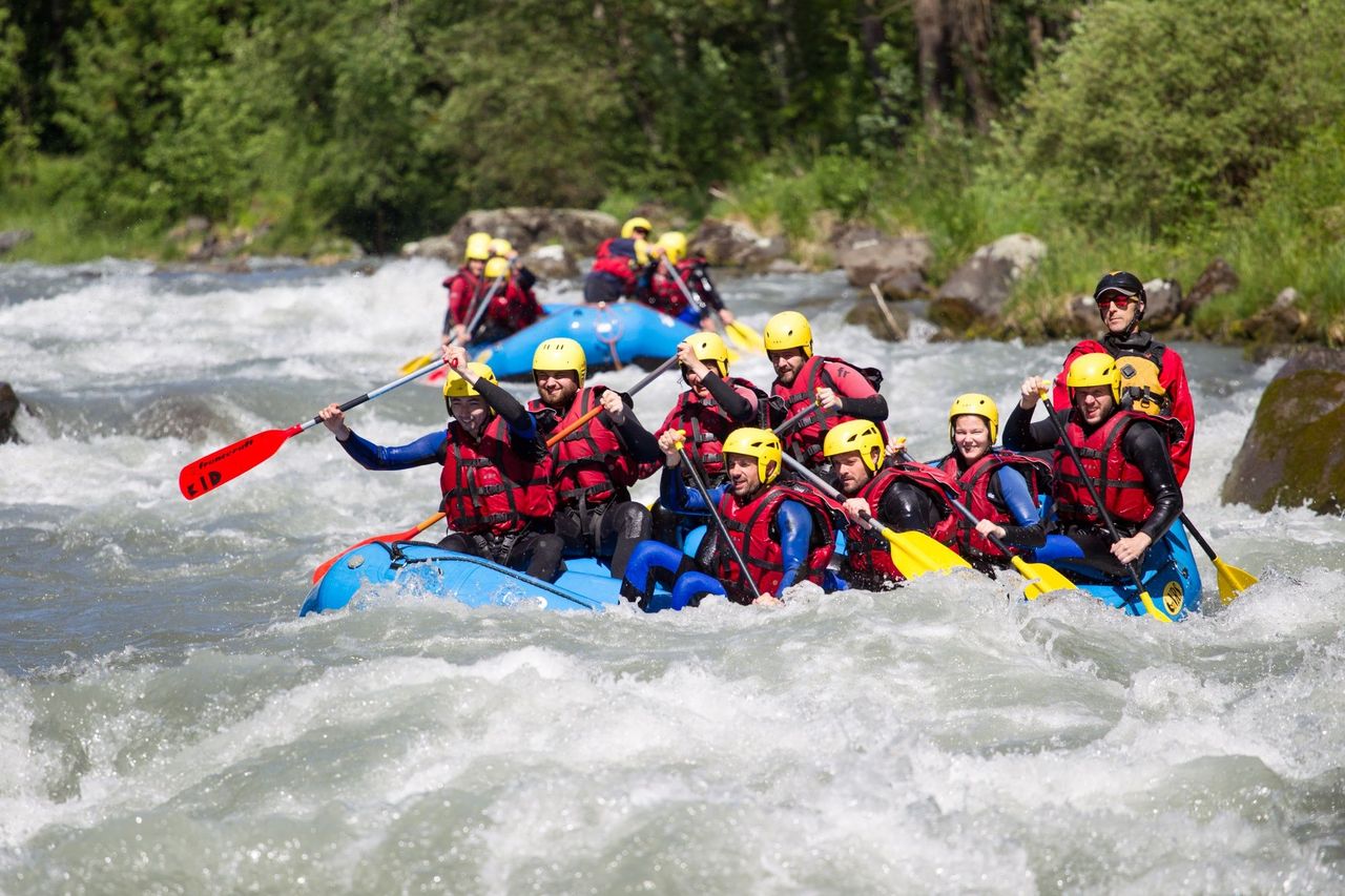
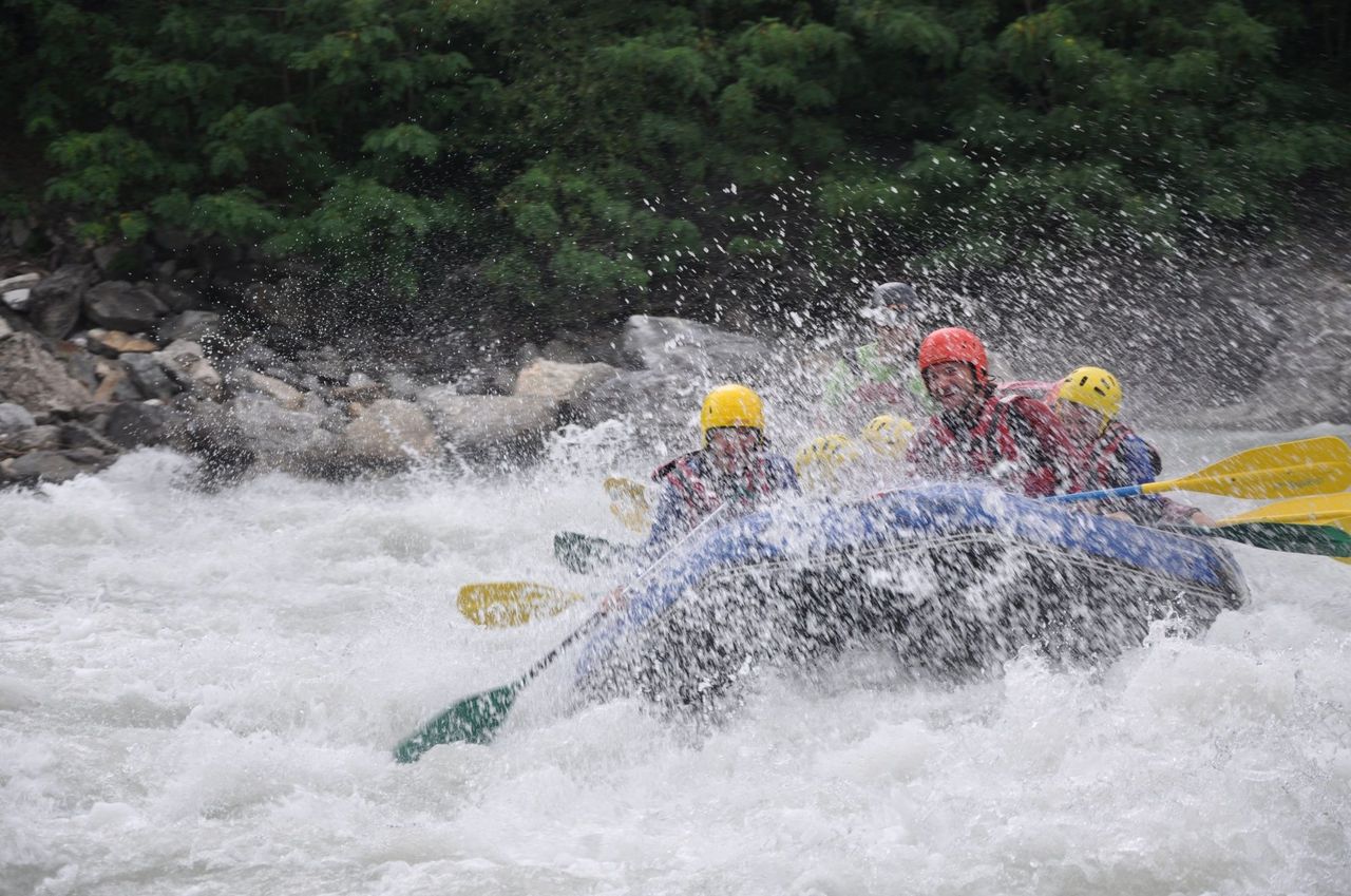
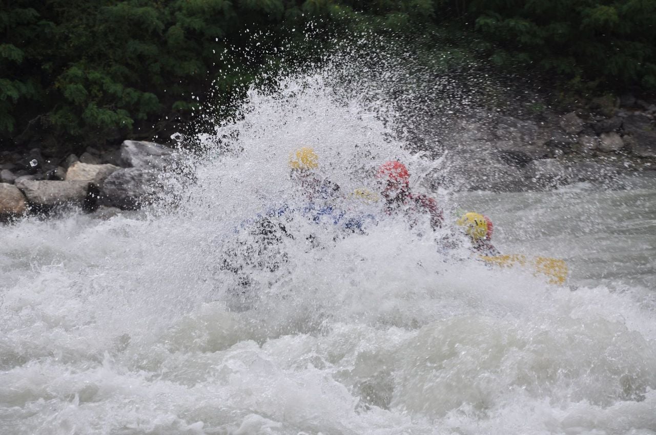
White water rafting Lütschine Interlaken
4.3(3)Interlakenper person
from £144
- Electric Quad Trip on Lake Iseltwald from Interlaken
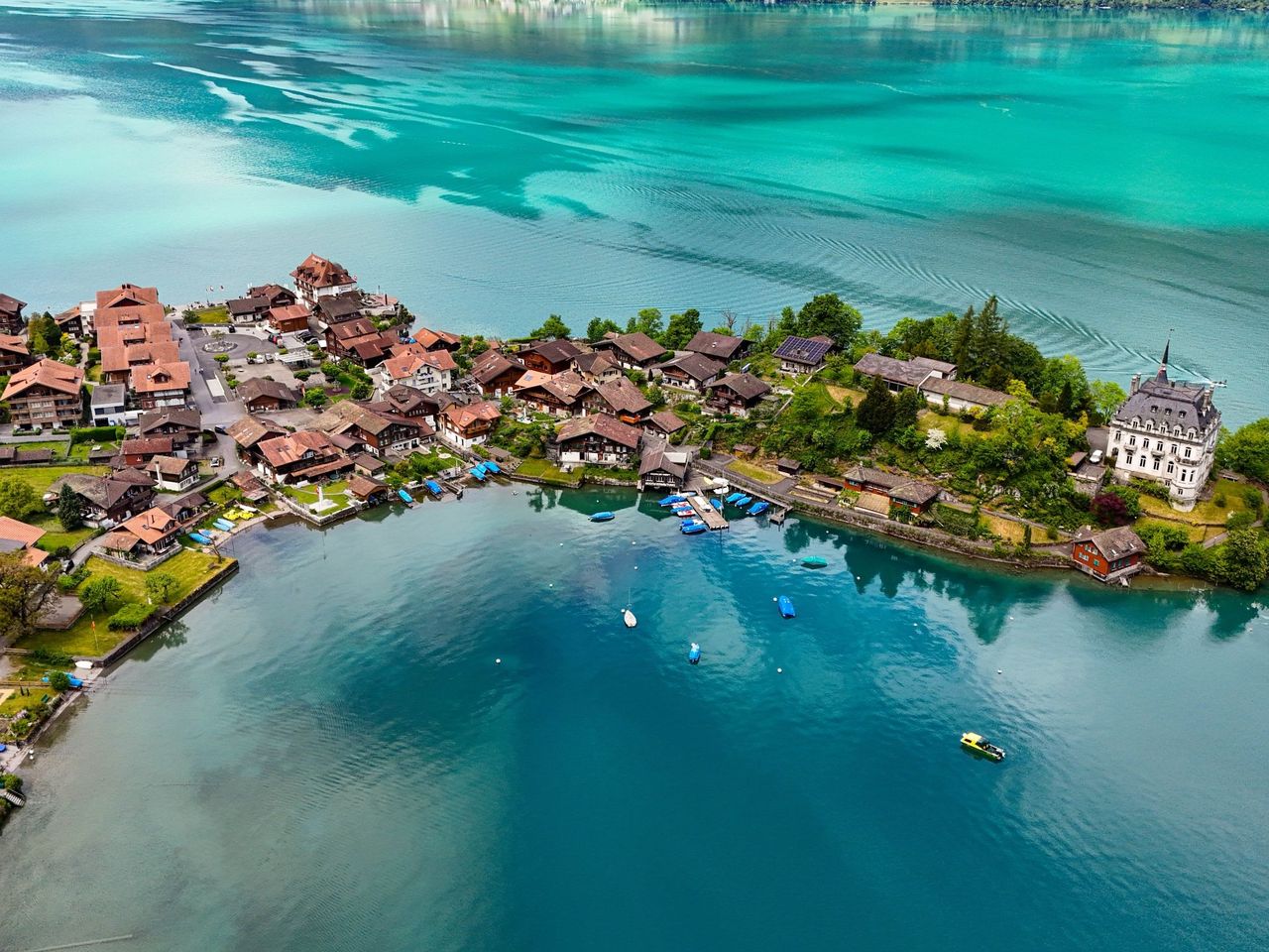
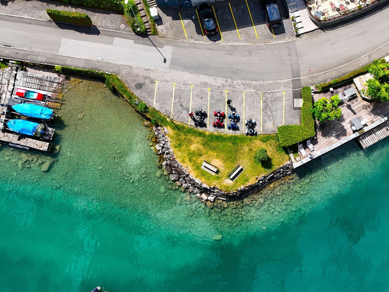
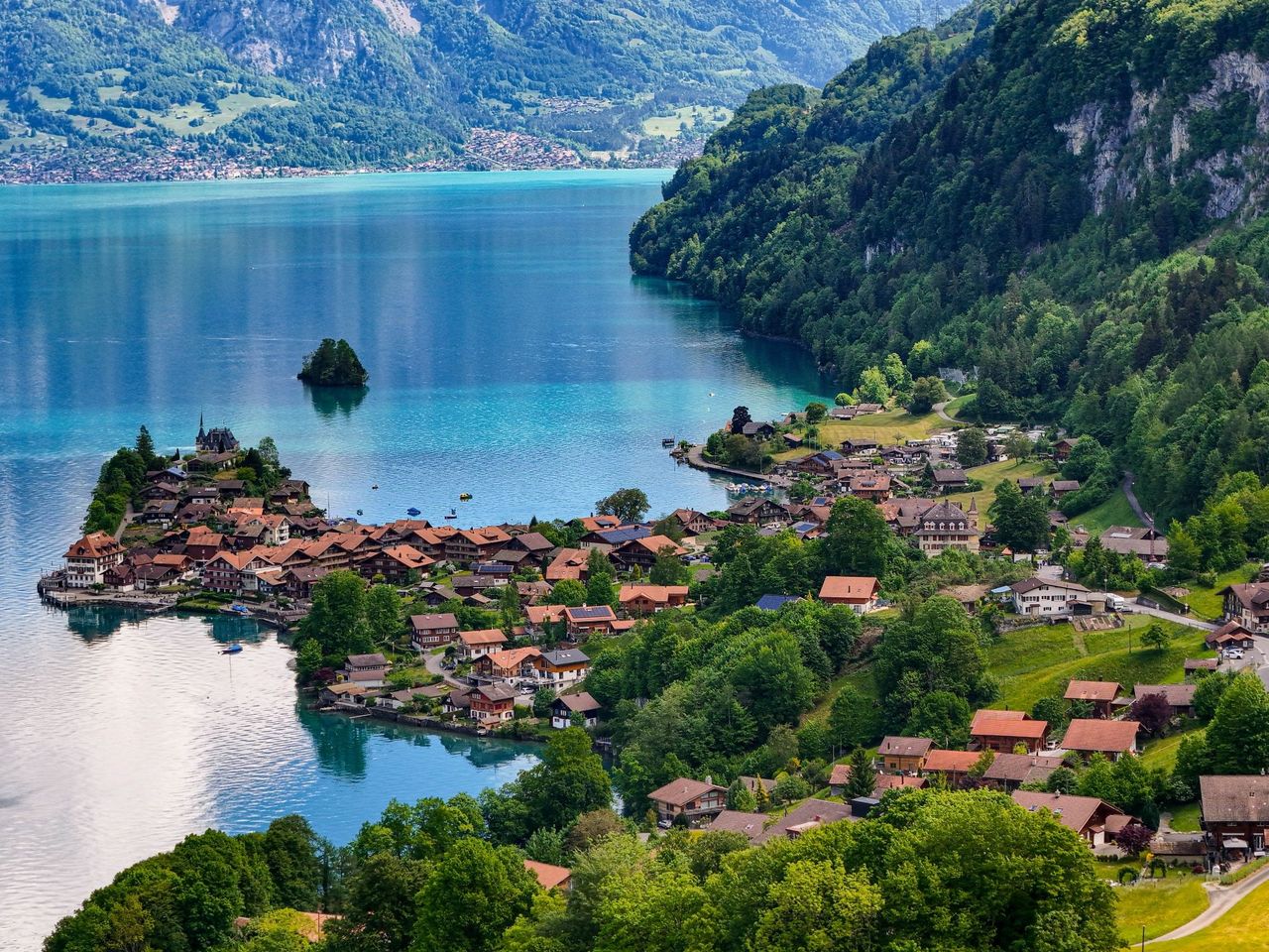
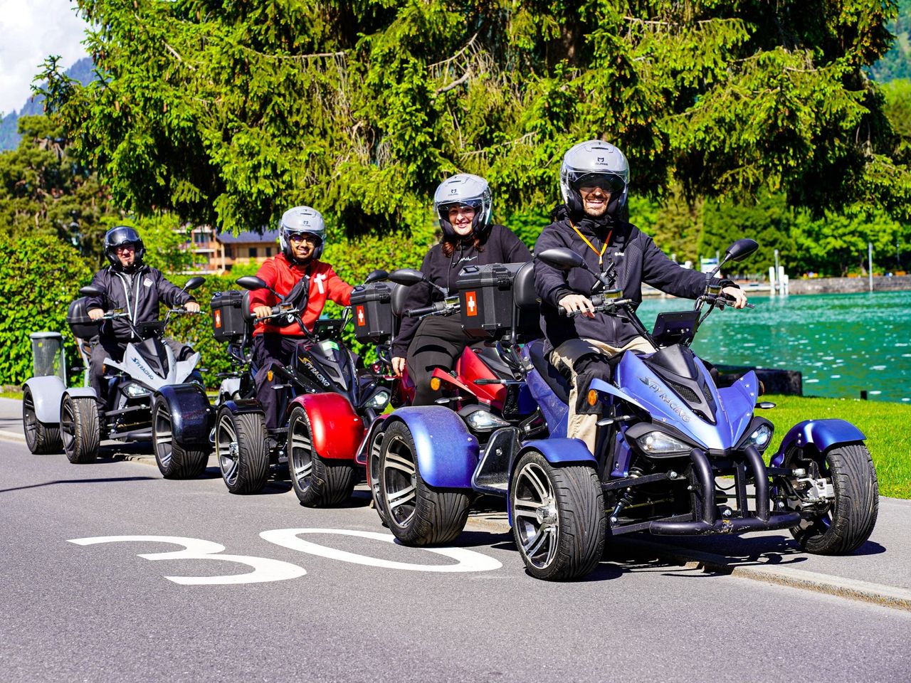
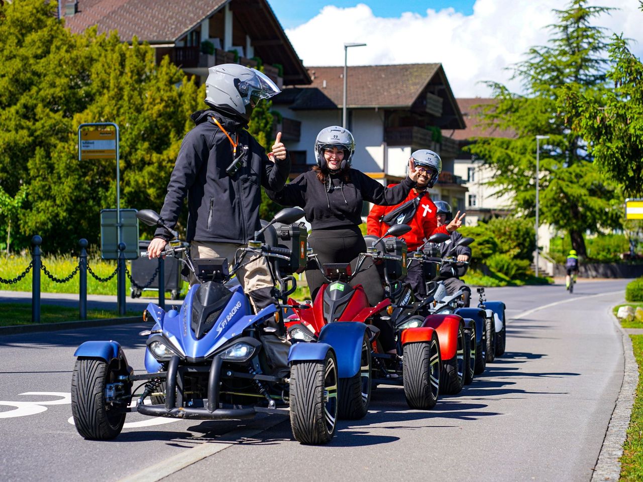
Electric Quad Trip on Lake Iseltwald from Interlaken
5.0(2)Interlakenper person
from £125
- Rafting on the Simme from Interlaken
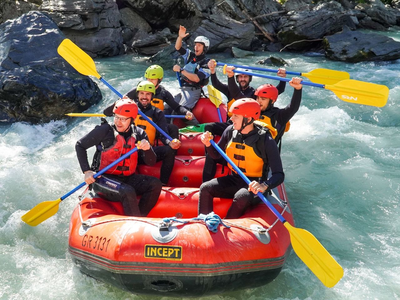
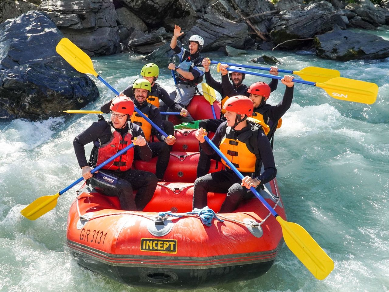
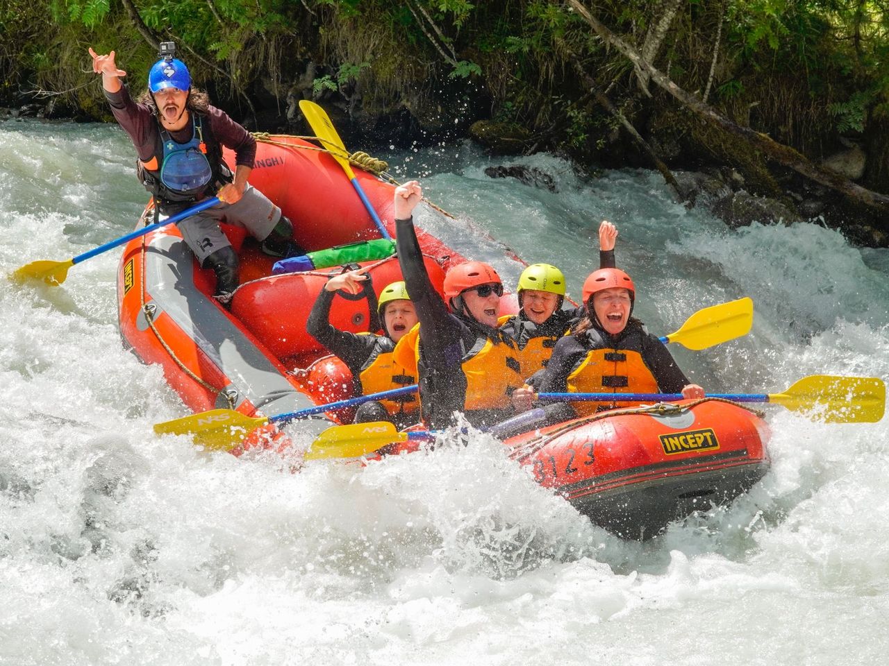
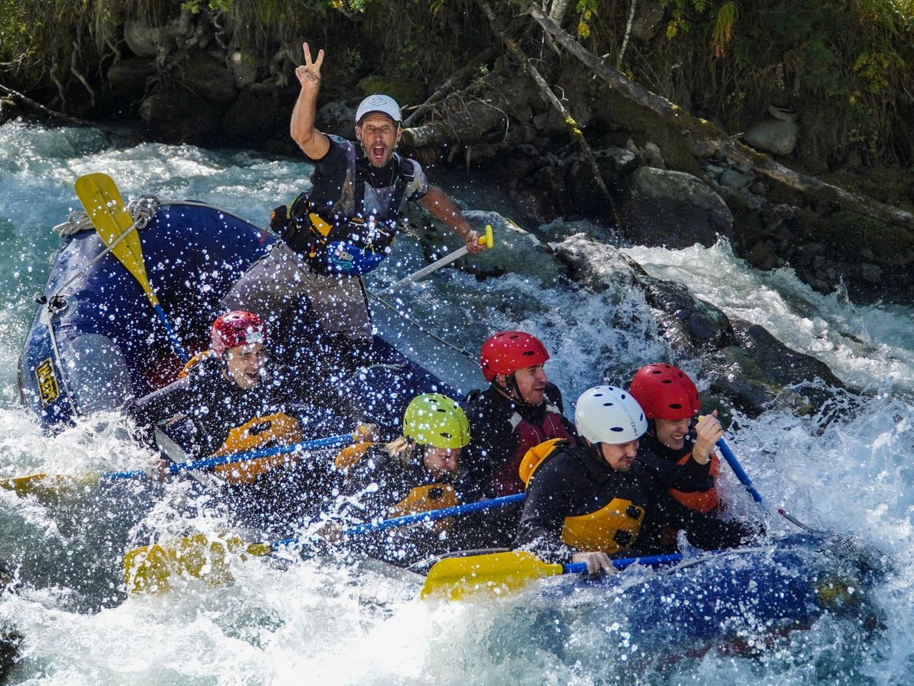
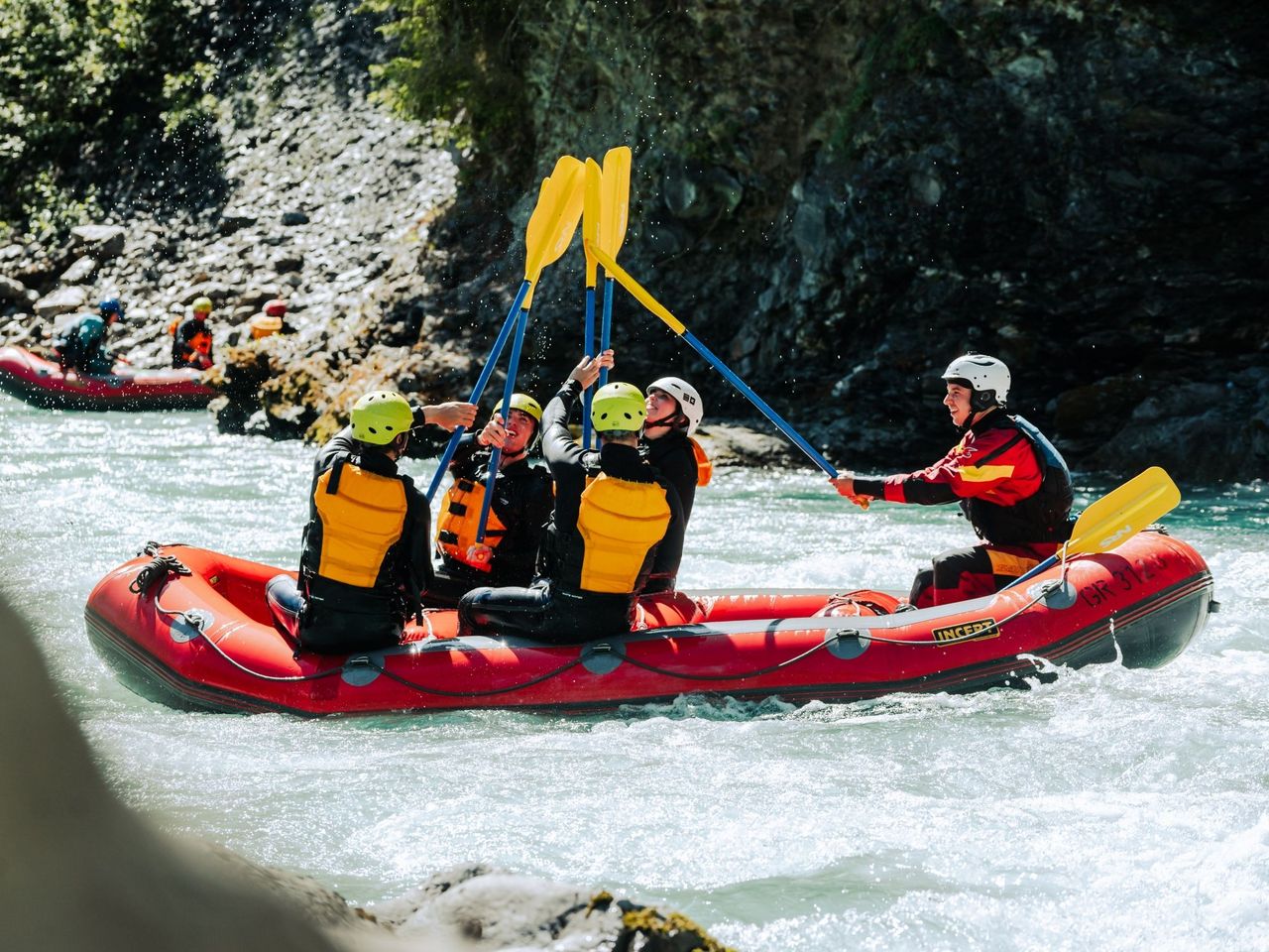
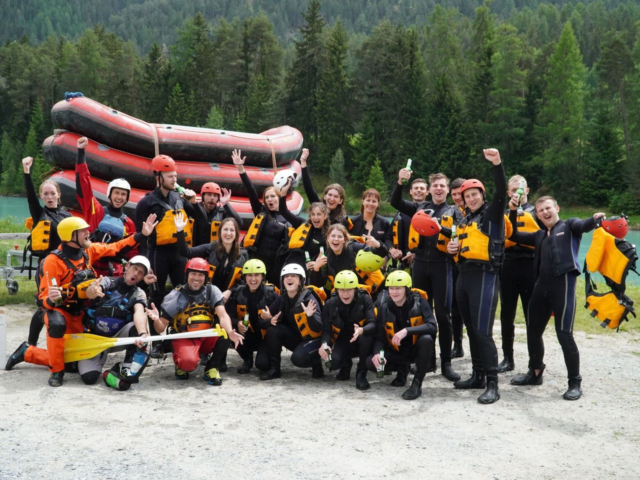
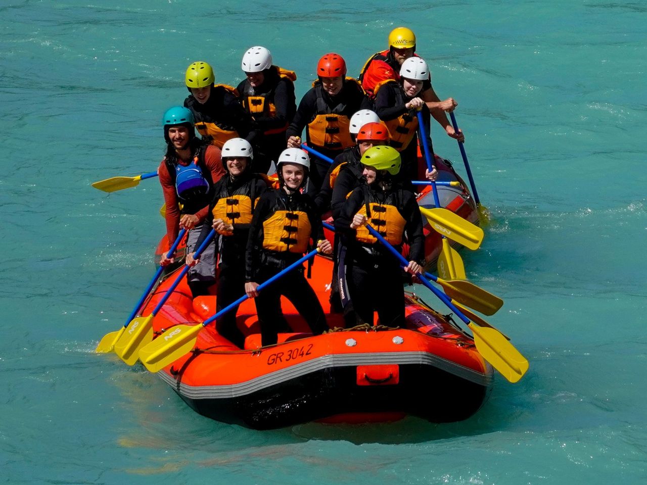
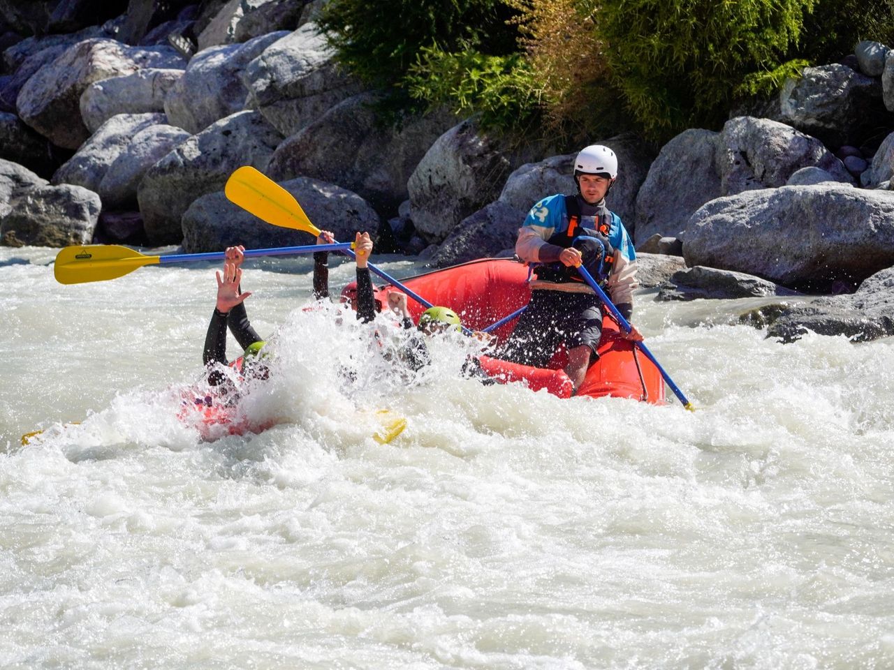
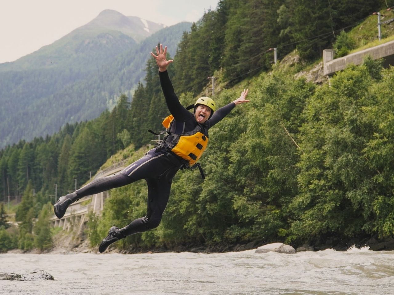
Rafting on the Simme from Interlaken
3.7(7)Interlakenper person
from £133
- Alpine Quad E-Tour from Interlaken
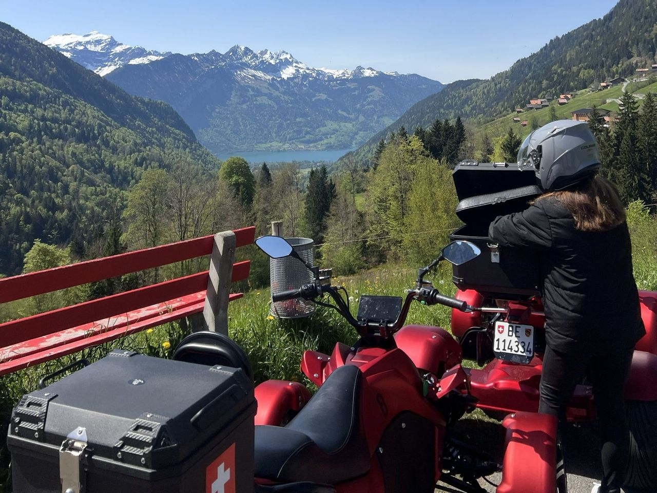
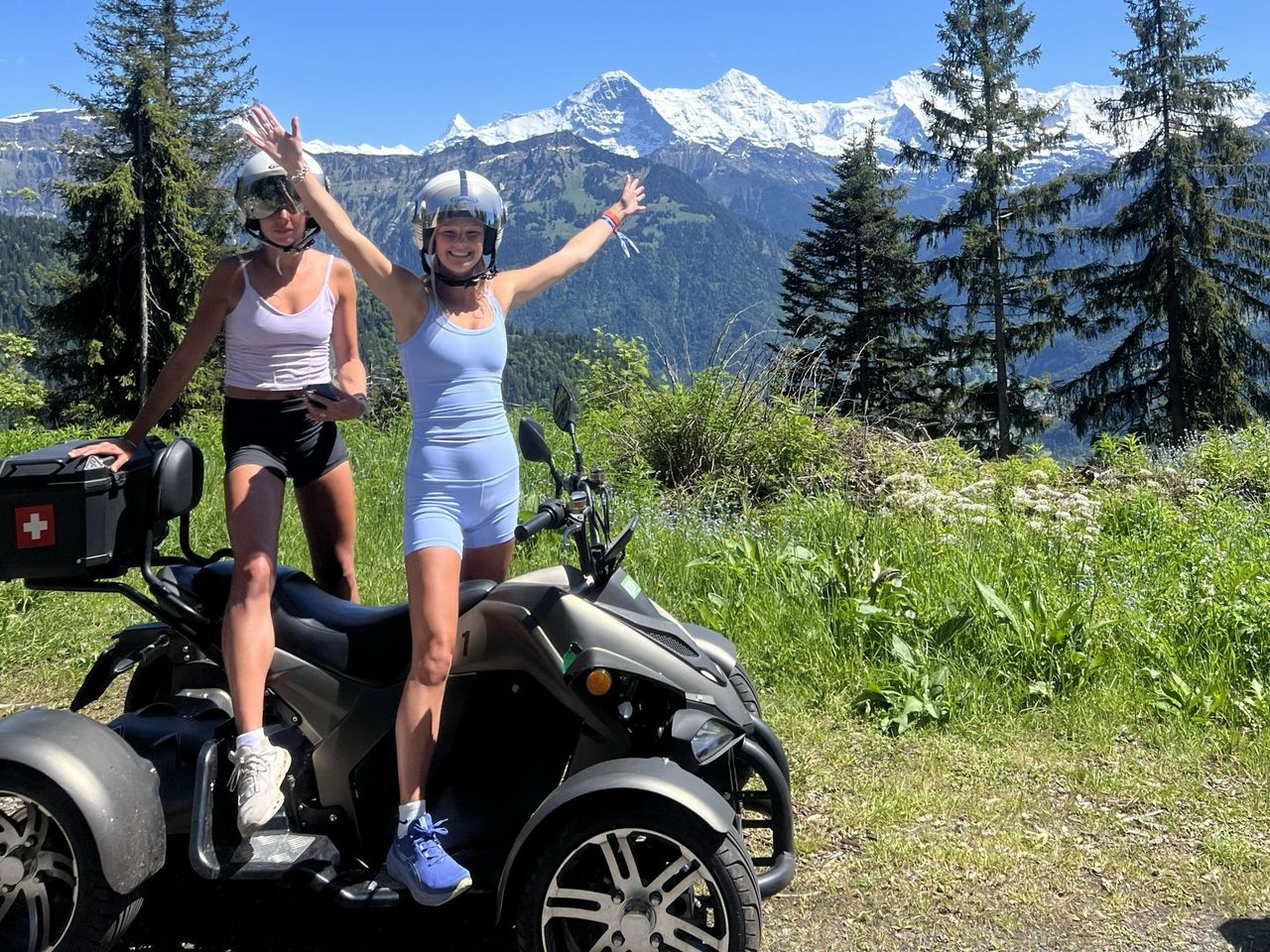
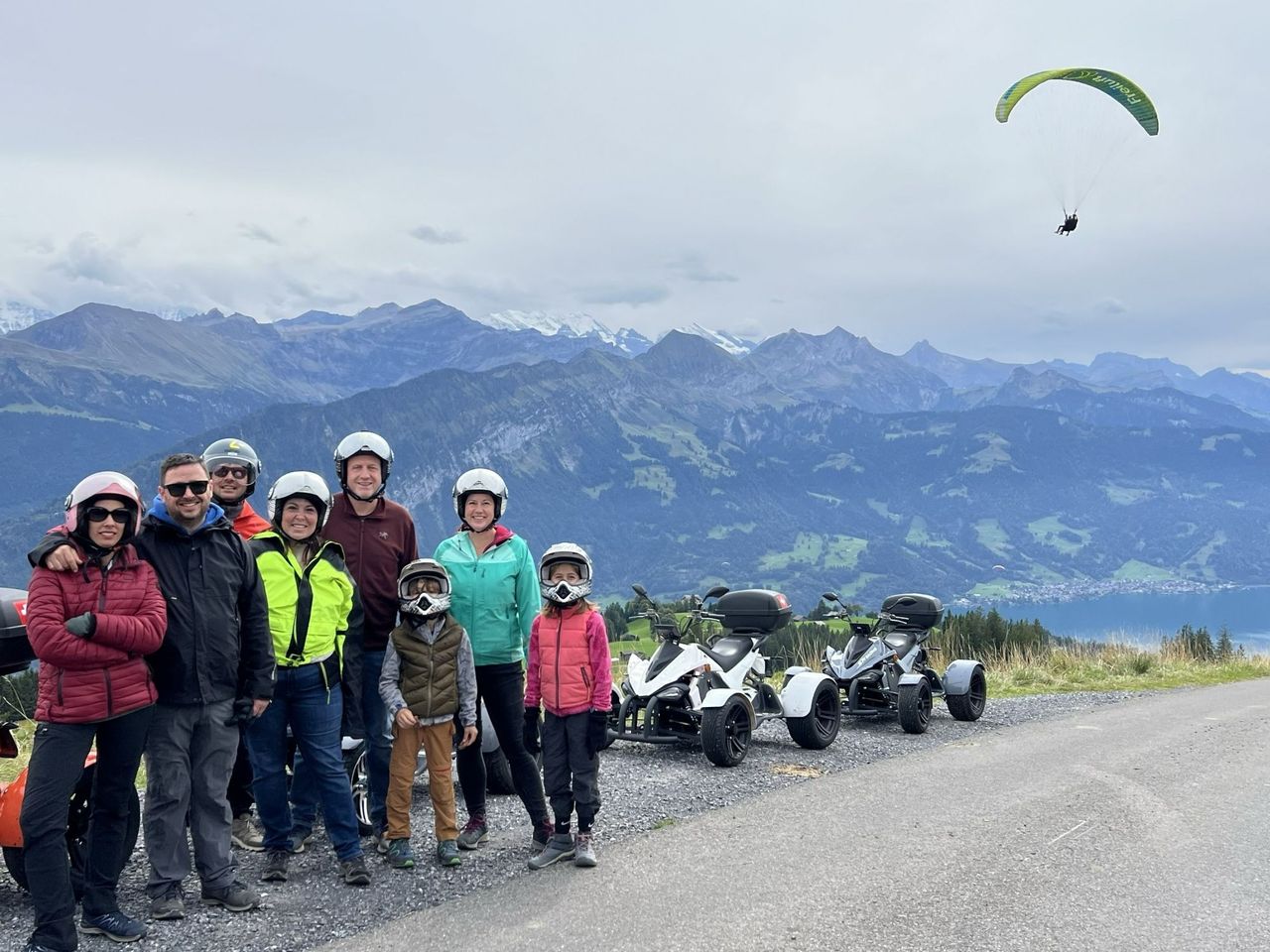
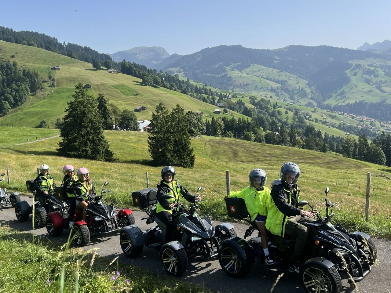
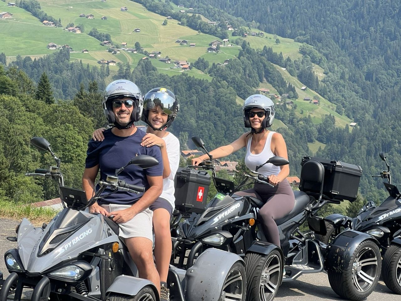
Alpine Quad E-Tour from Interlaken
5.0(1)Interlakenper person
from £187
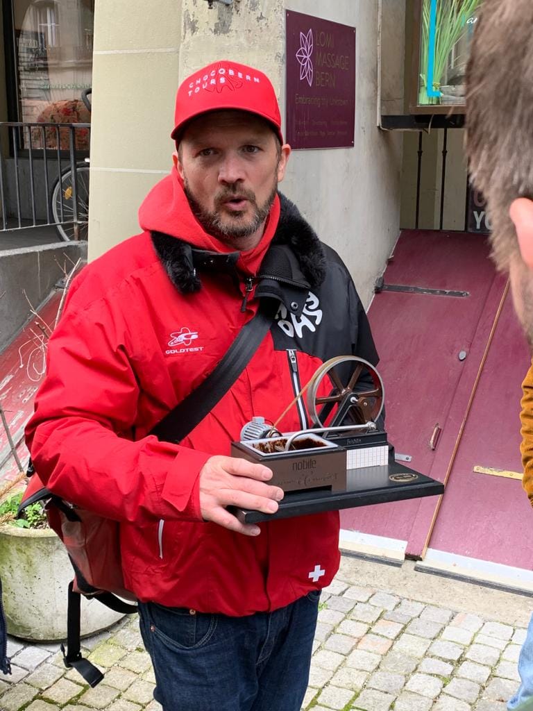
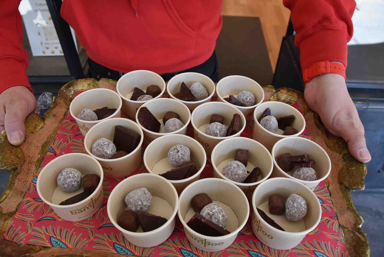
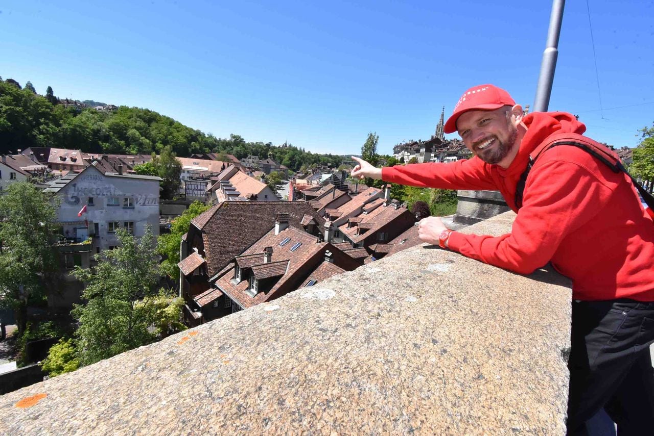
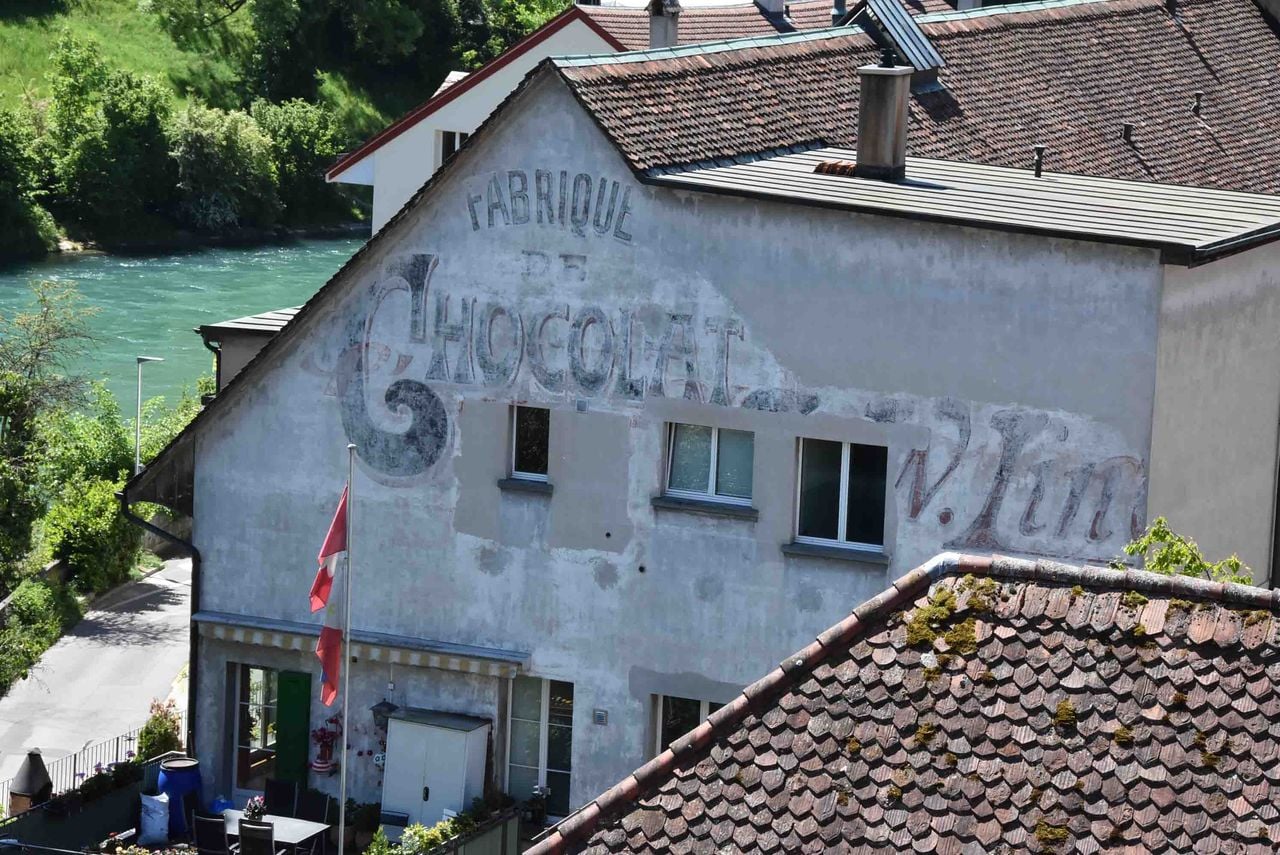
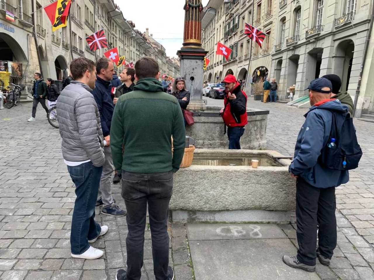
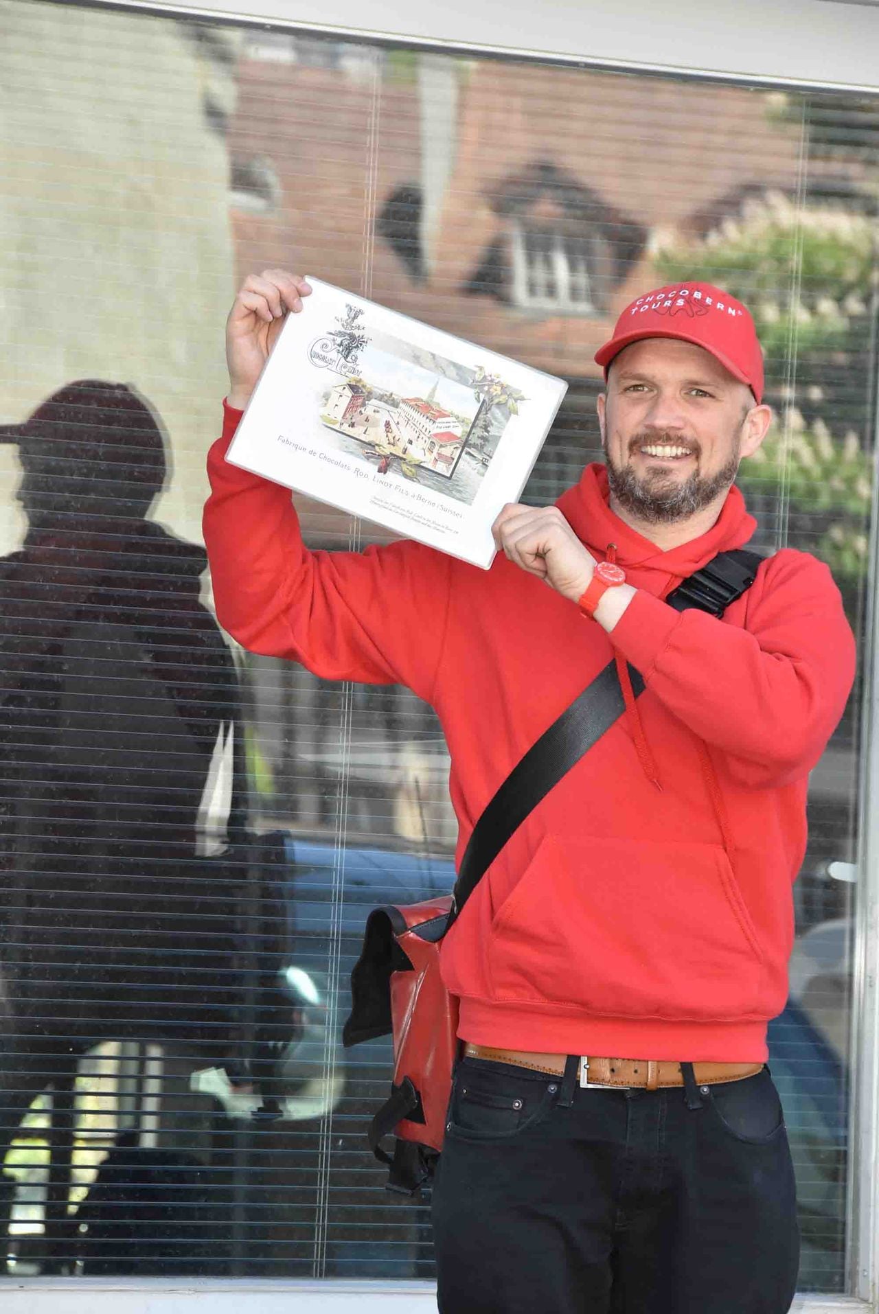
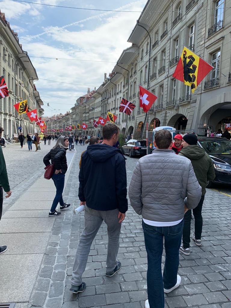
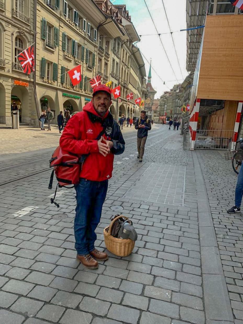
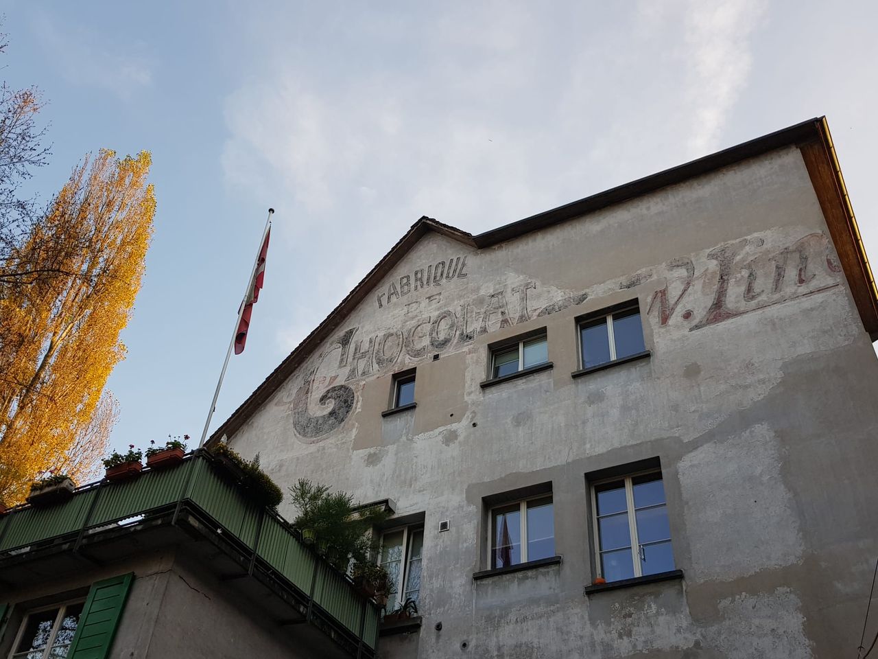
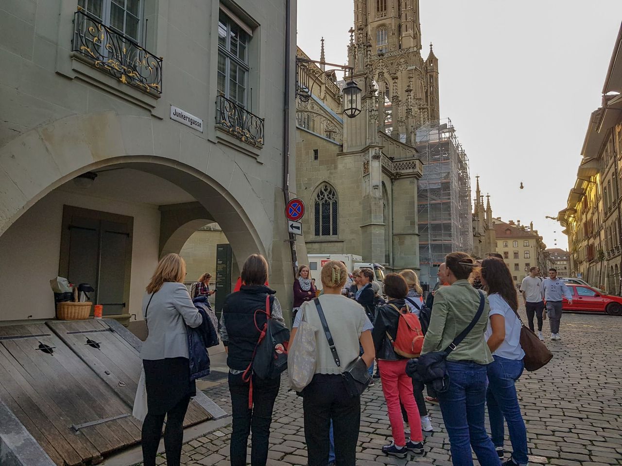
- Chocolate & Schnapps City Tour in Bern
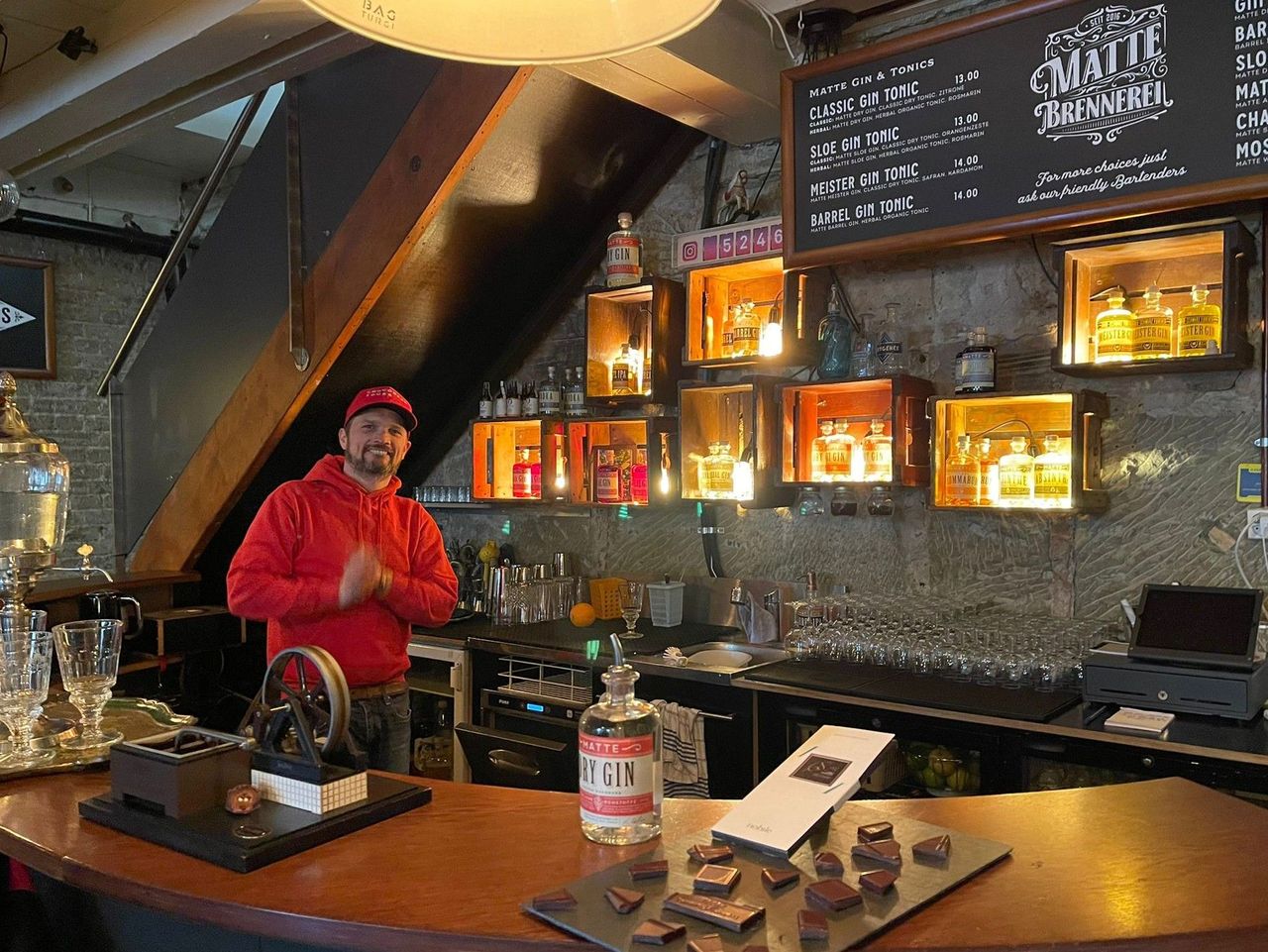
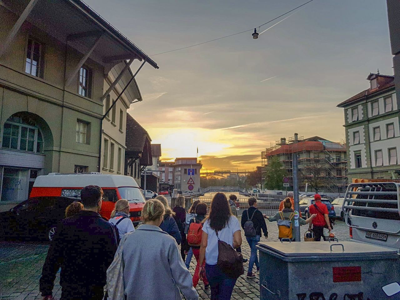
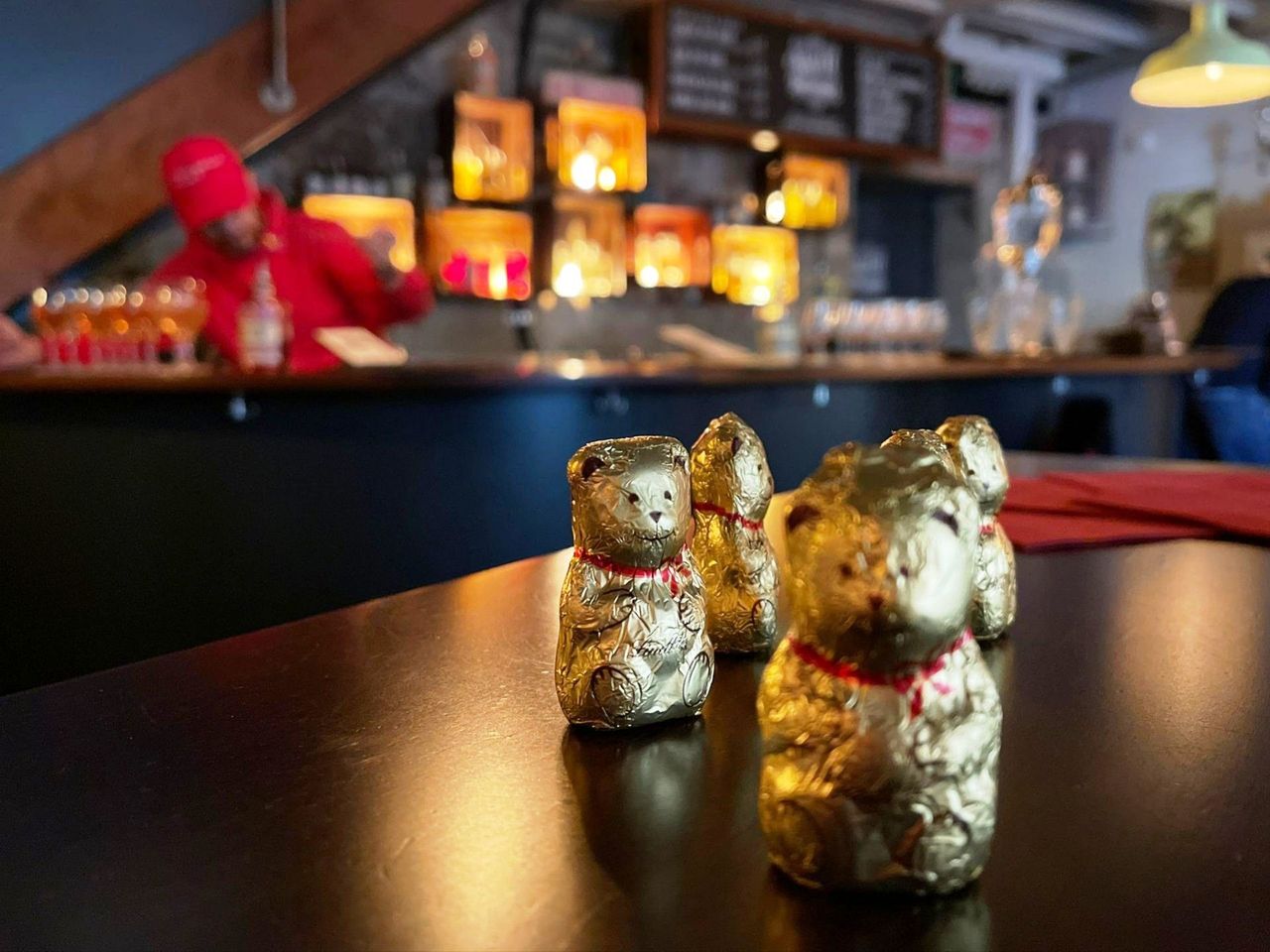
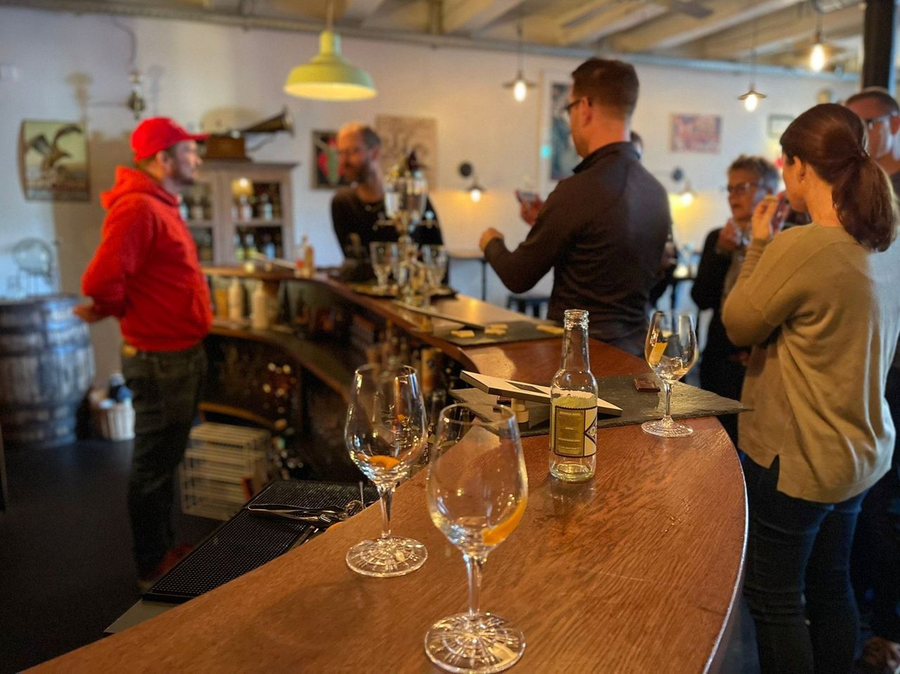
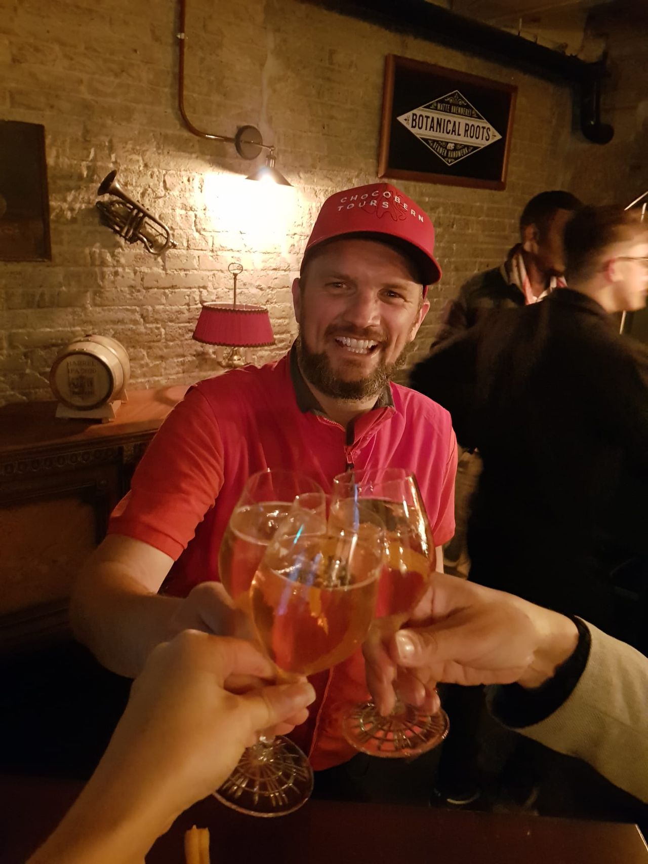
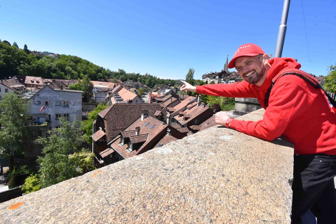
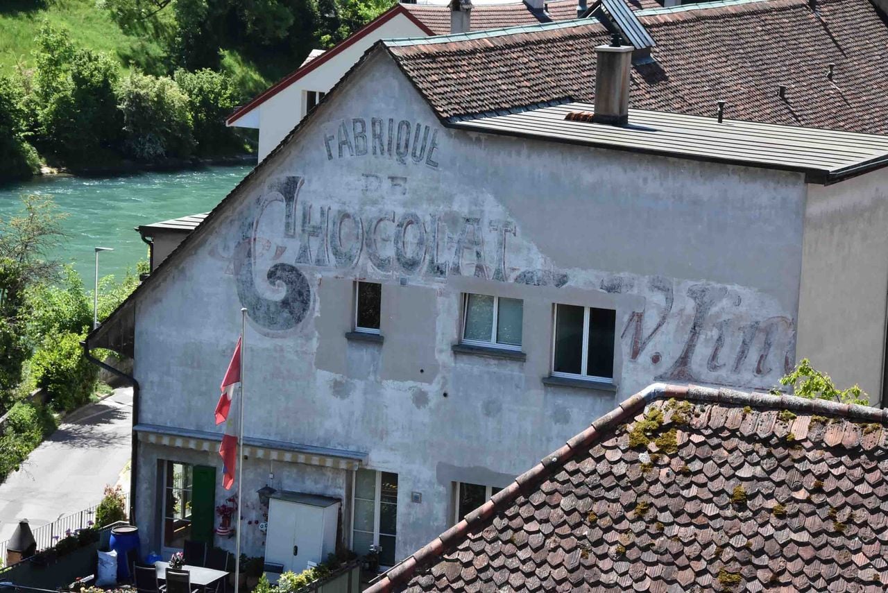
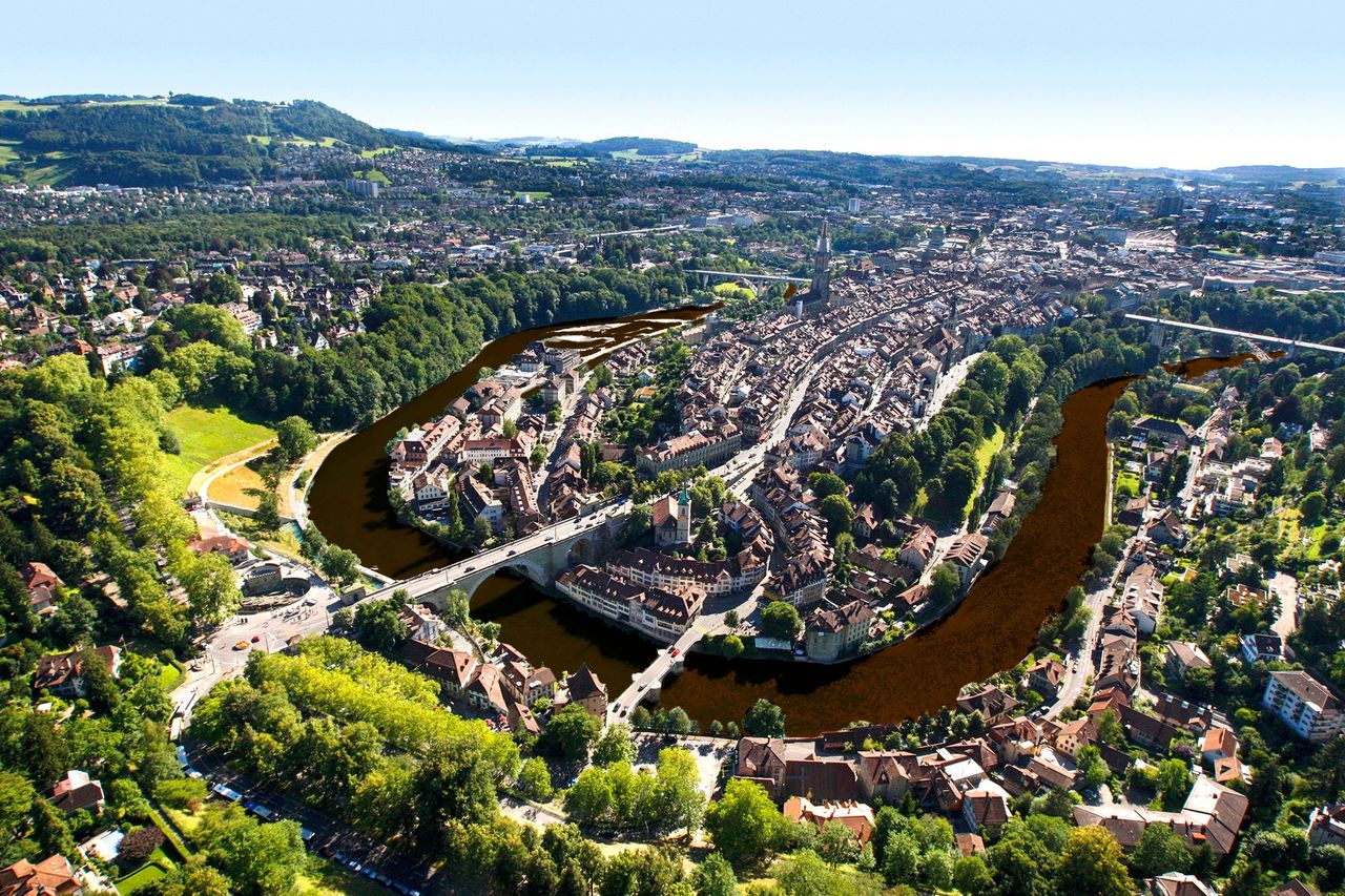
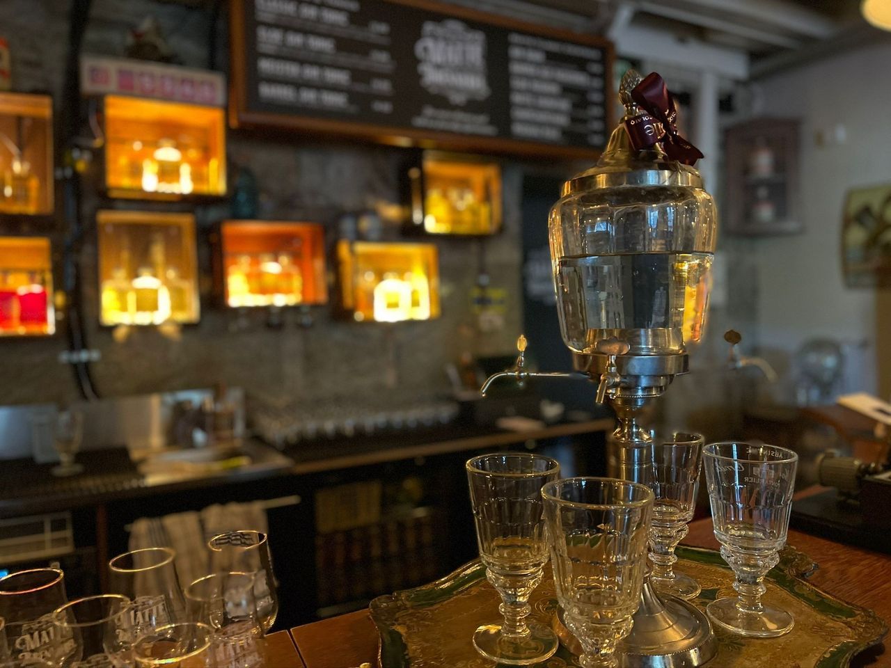
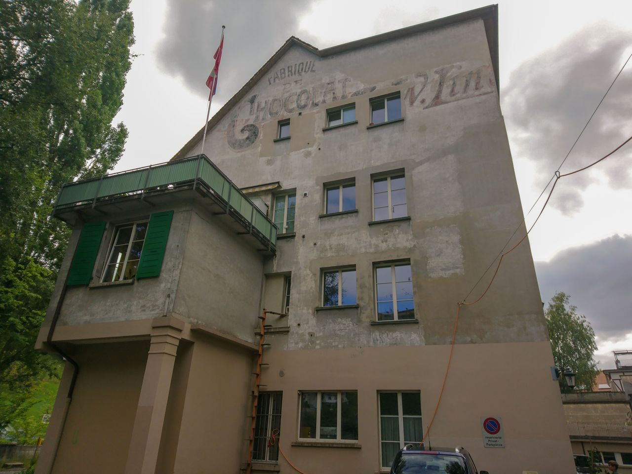
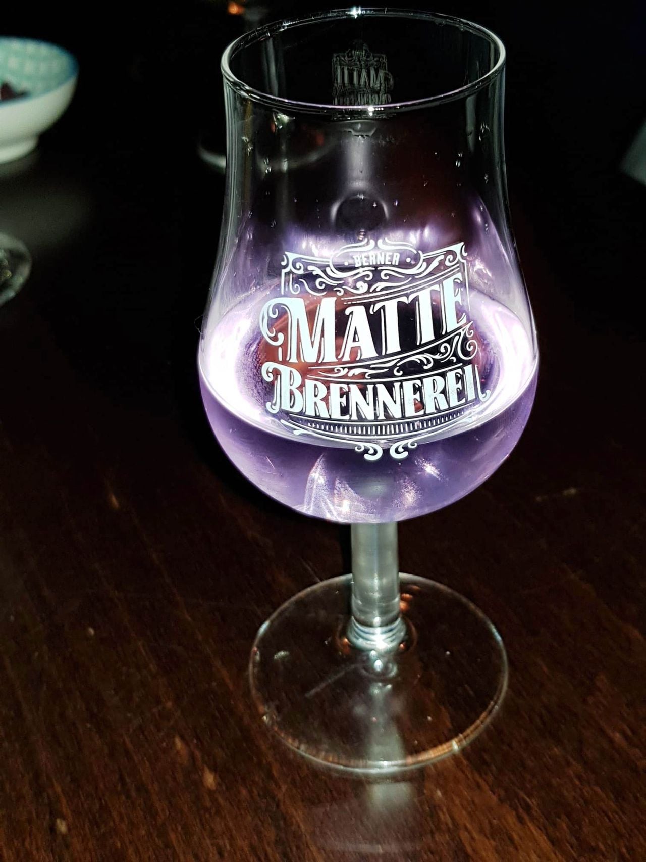
Chocolate & Schnapps City Tour in Bern
4.8(5)Bernper person
from £63
- "Black Out" - Adventure Game Adelboden
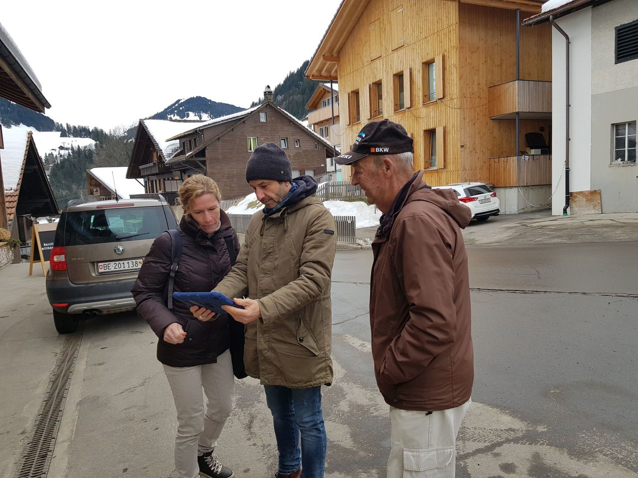
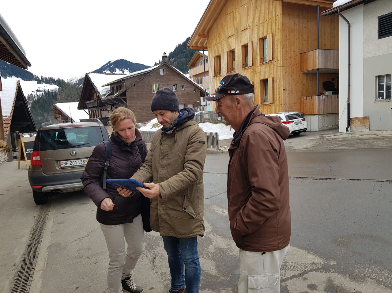
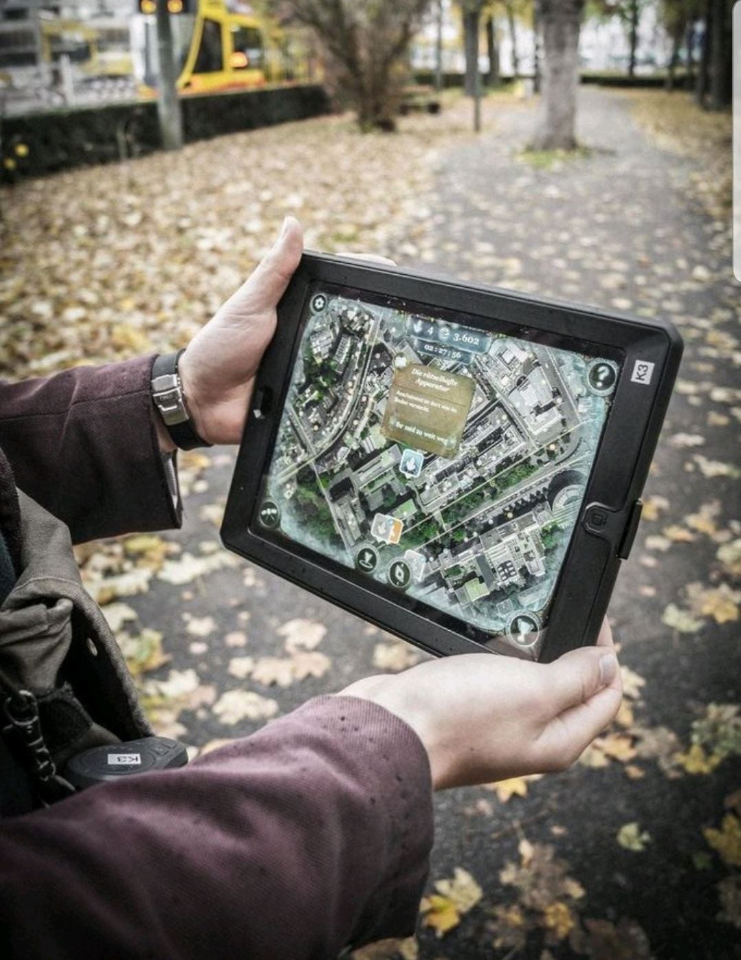
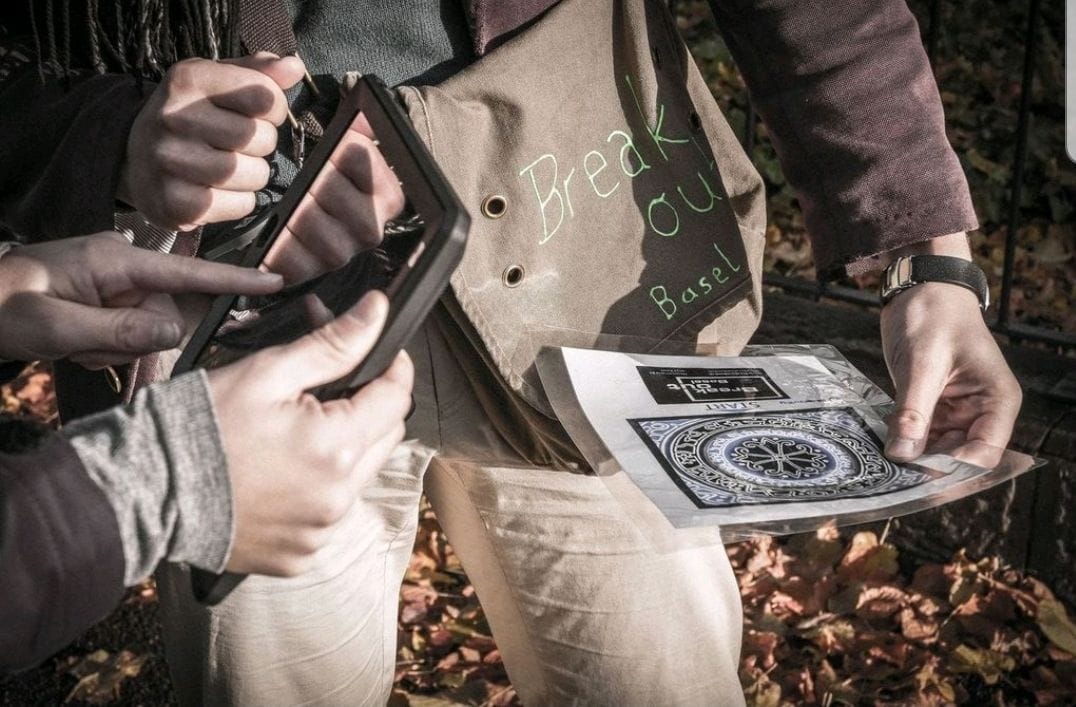
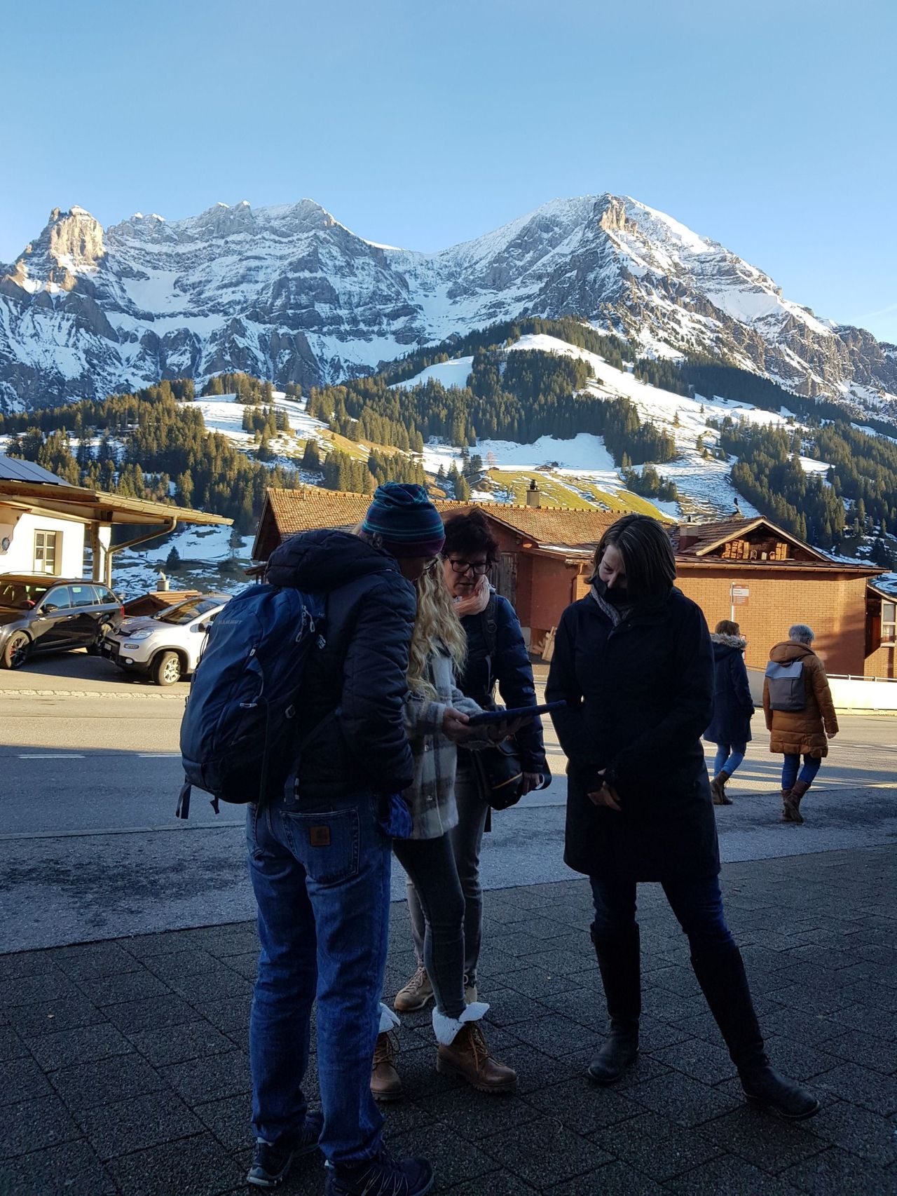
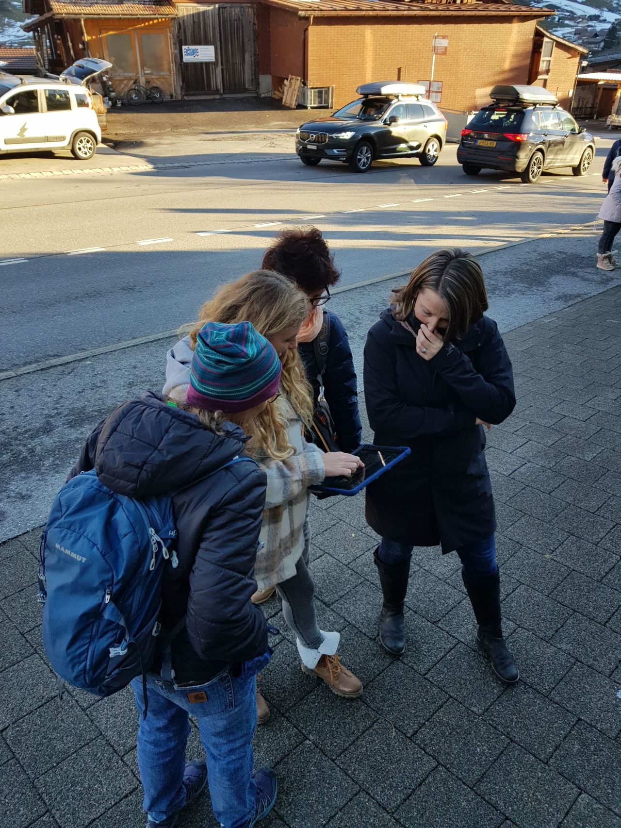
"Black Out" - Adventure Game Adelboden
5.0(1)Adelbodenper person
from £38
- "The Omega Codex" Outdoor Escape Game Interlaken
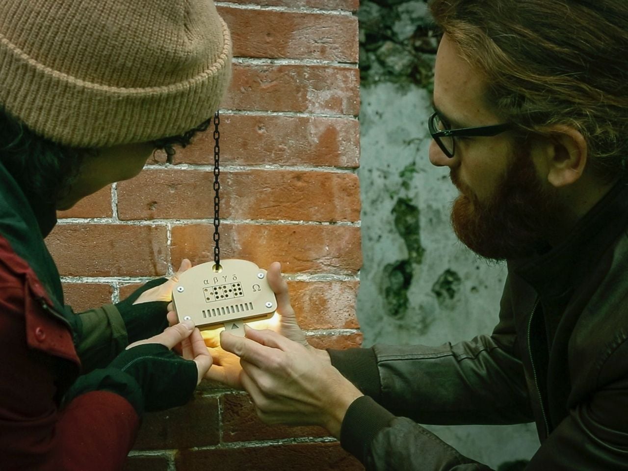
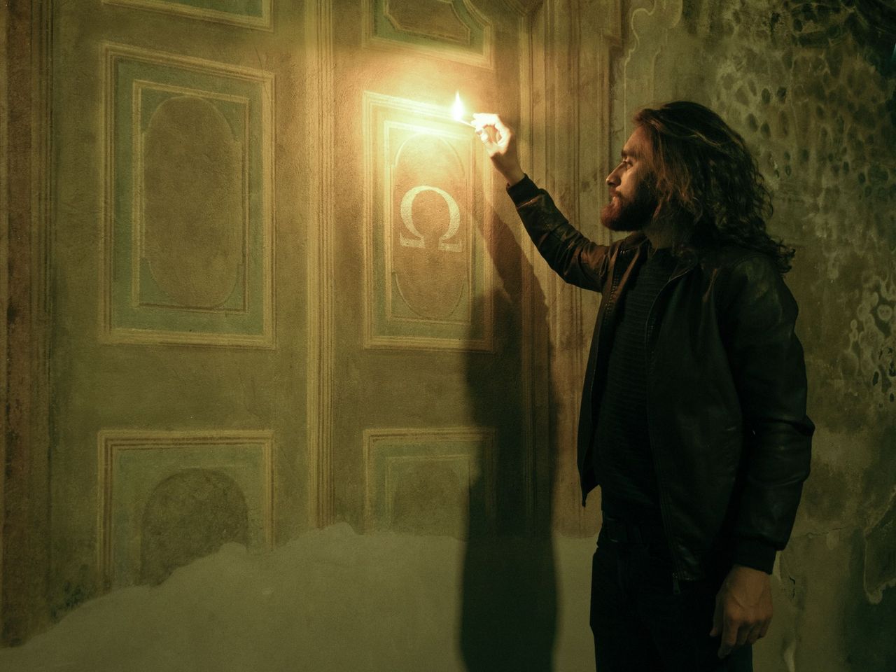
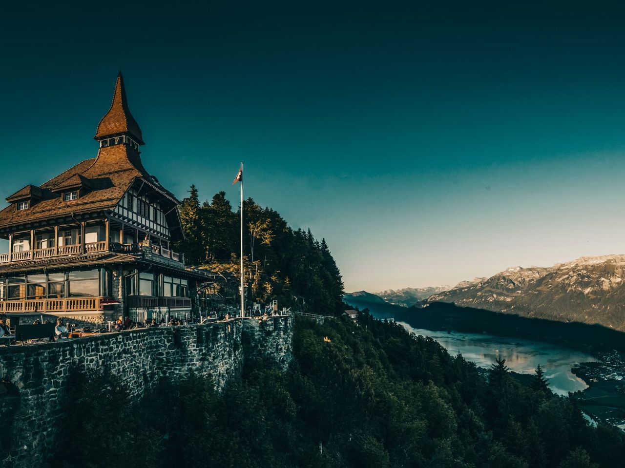
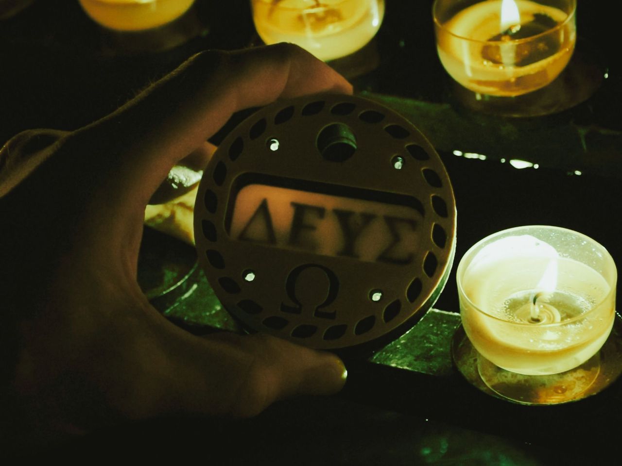
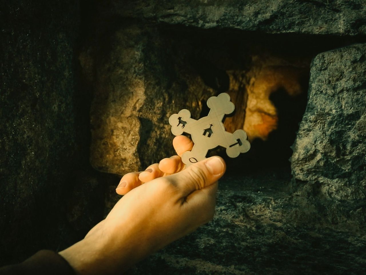
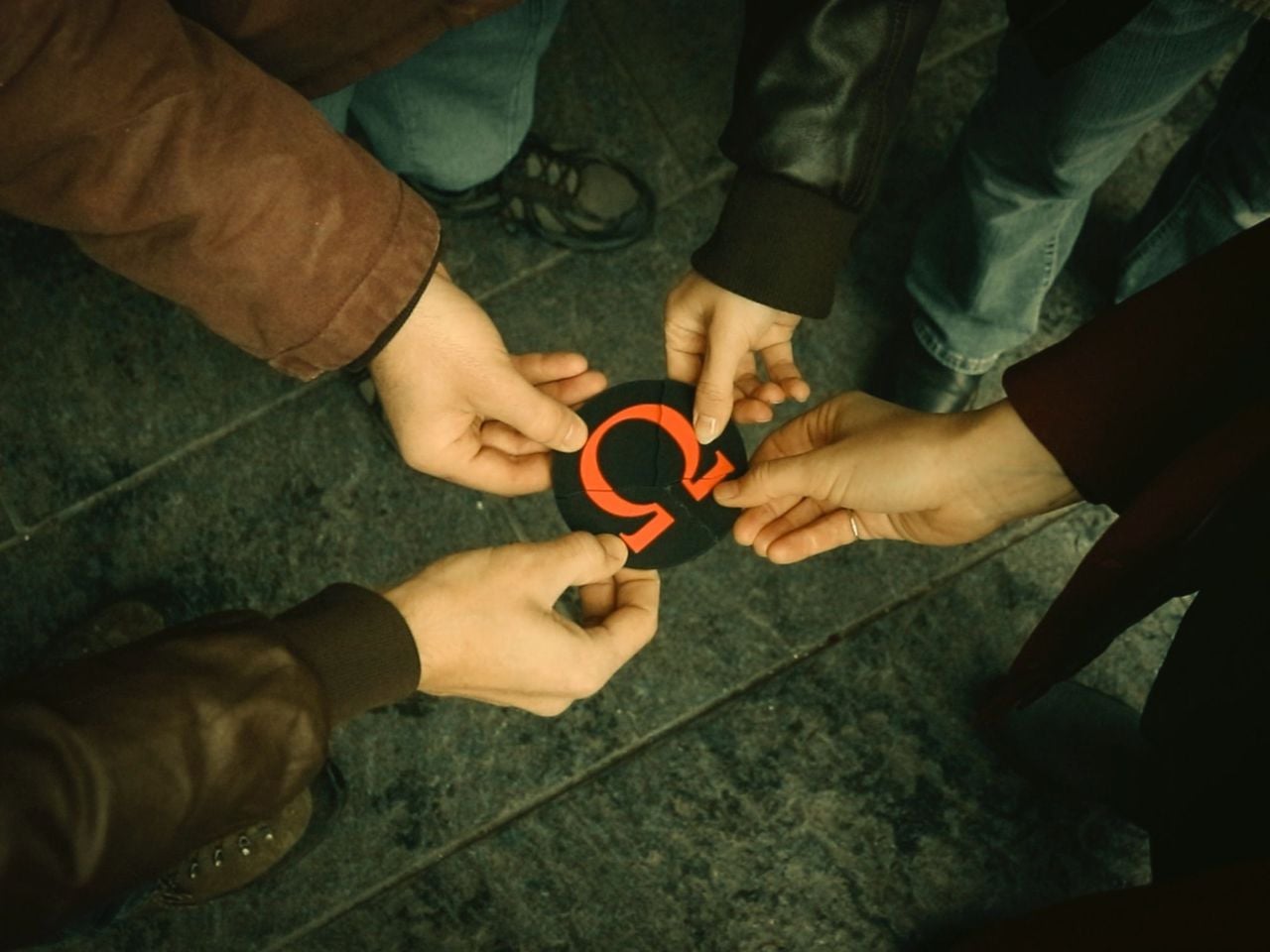
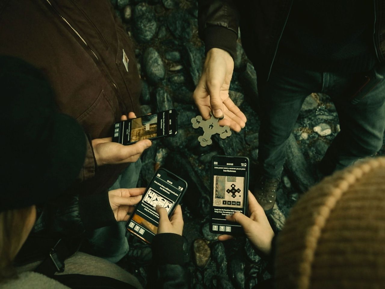
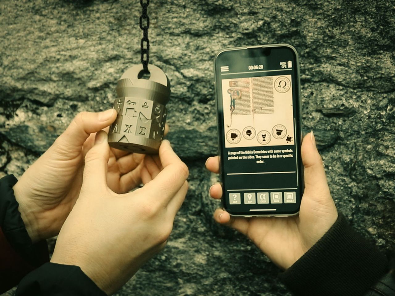
"The Omega Codex" Outdoor Escape Game Interlaken
Interlakenper person
from £14
- Interlaken interactive scavenger hunt with the smartphone
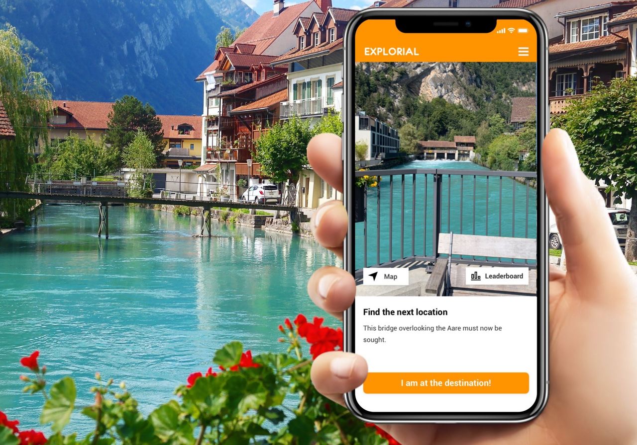
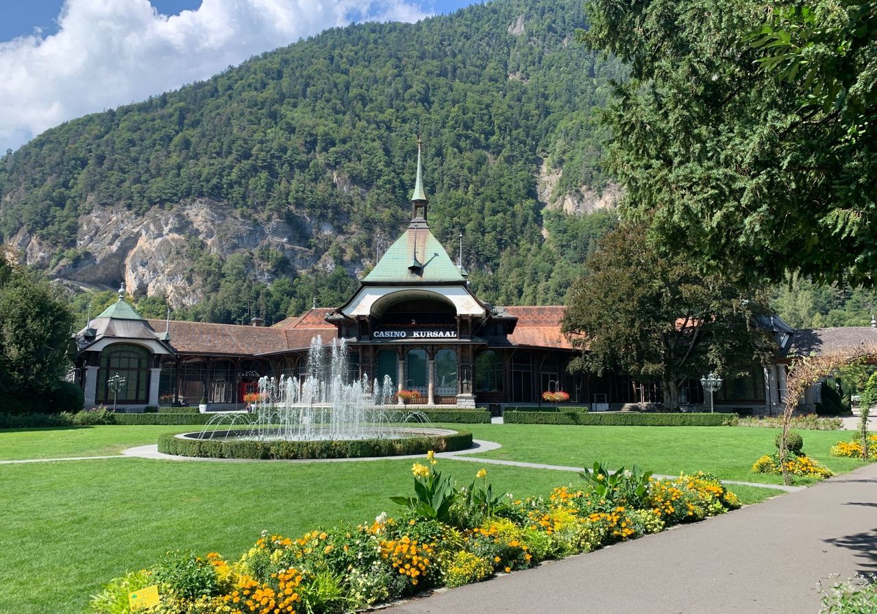
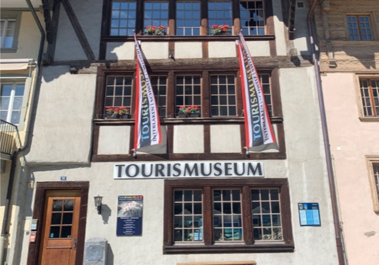
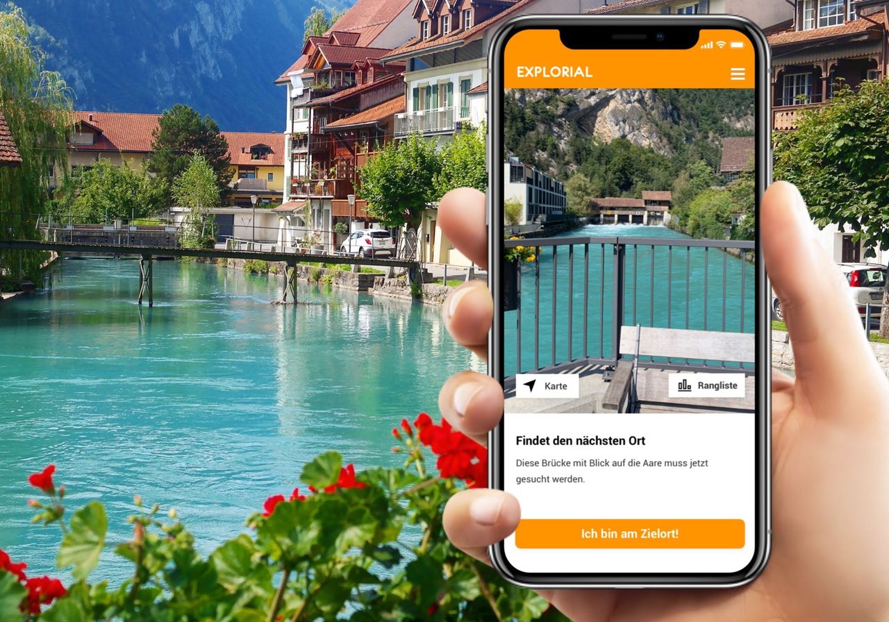
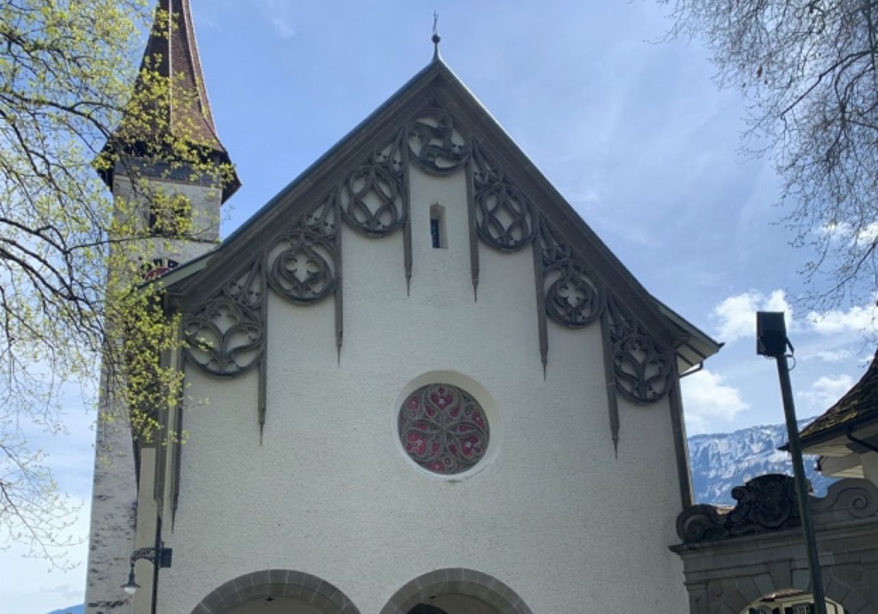
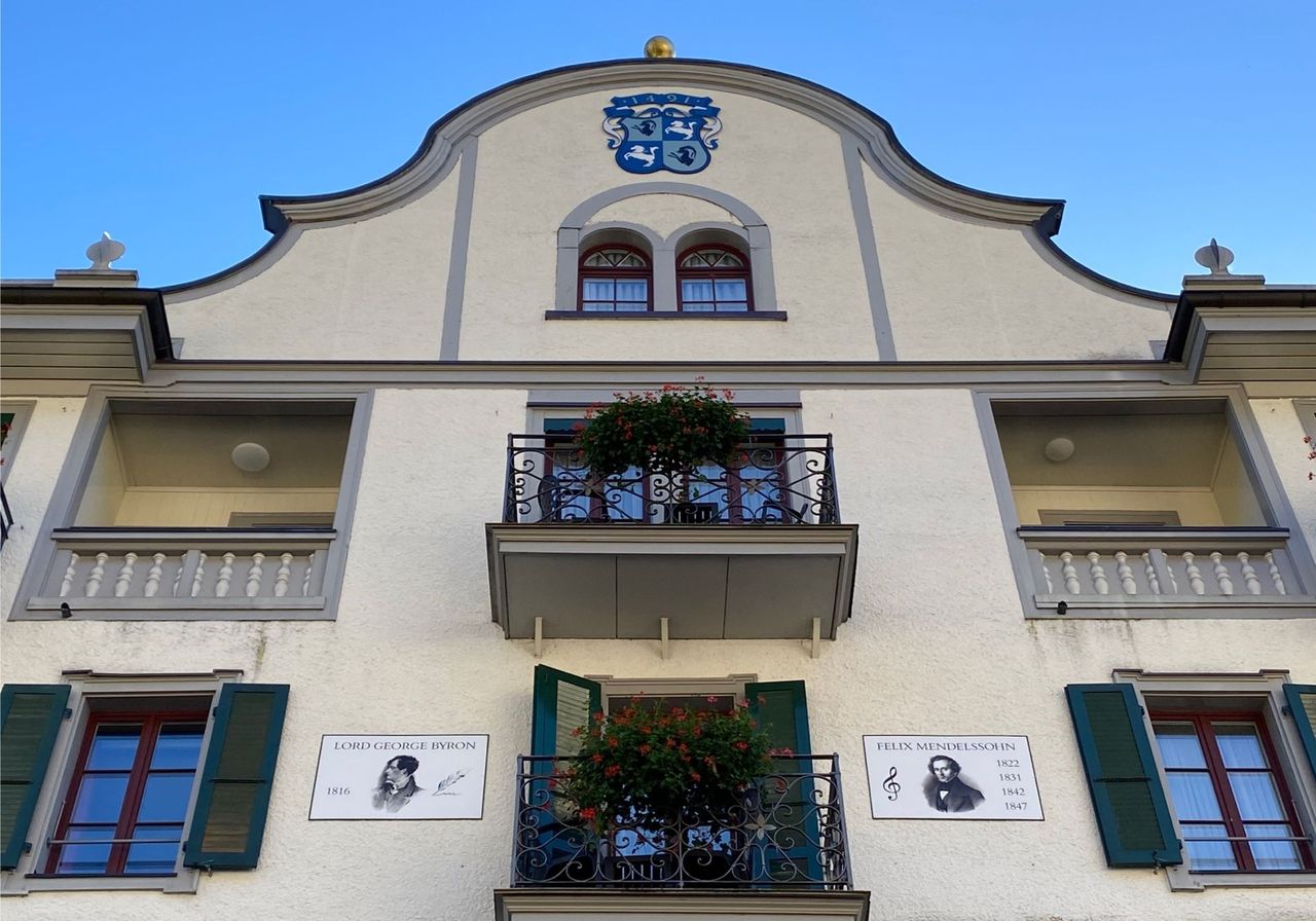
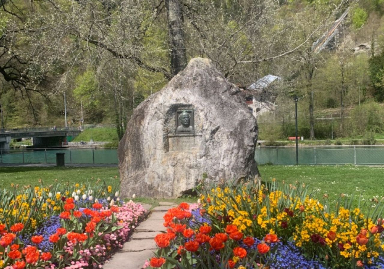
Interlaken interactive scavenger hunt with the smartphone
Interlakenper person
from £10
- Lauterbrunnen Waterfall Tour on the electric quad from Interlaken
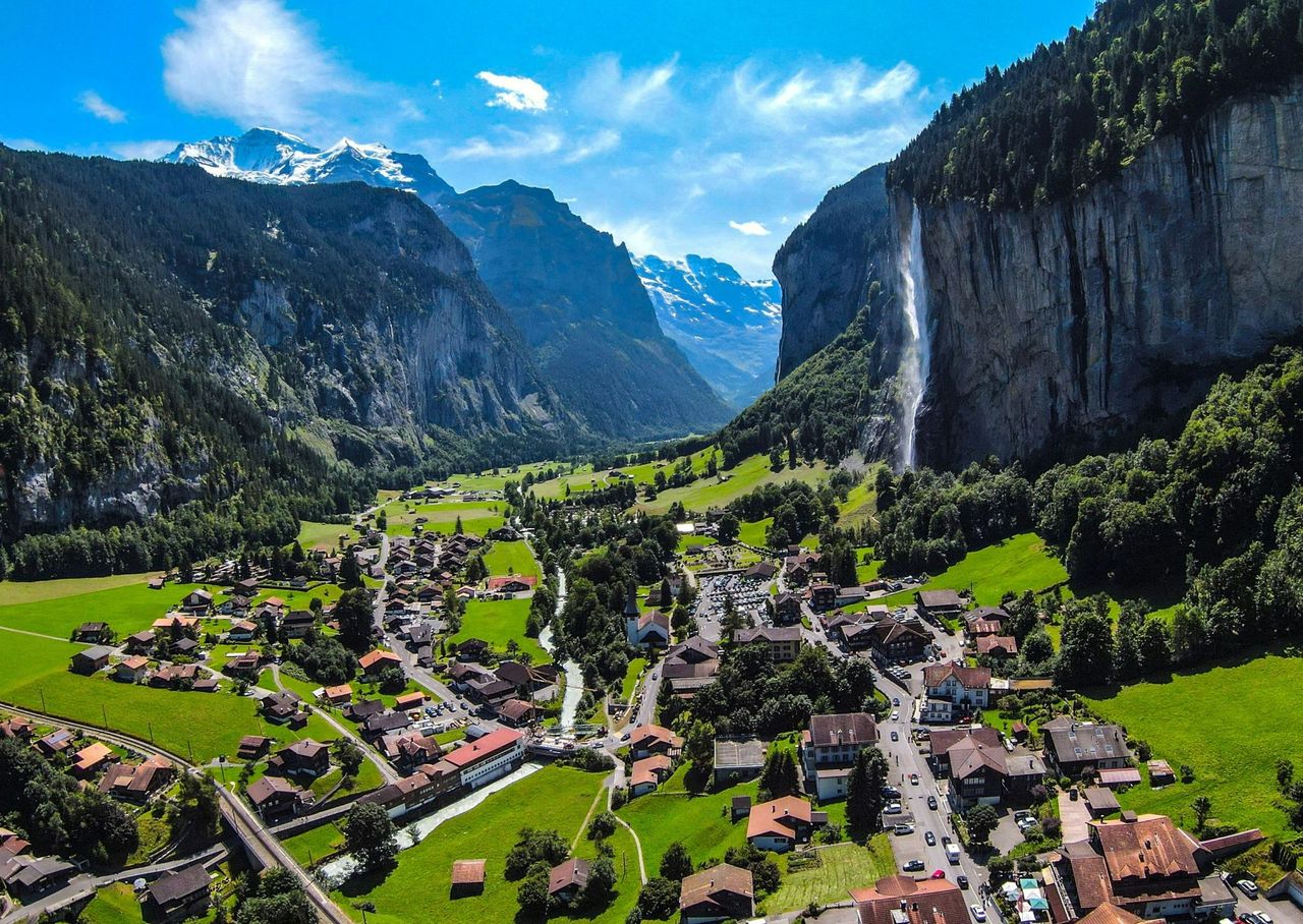
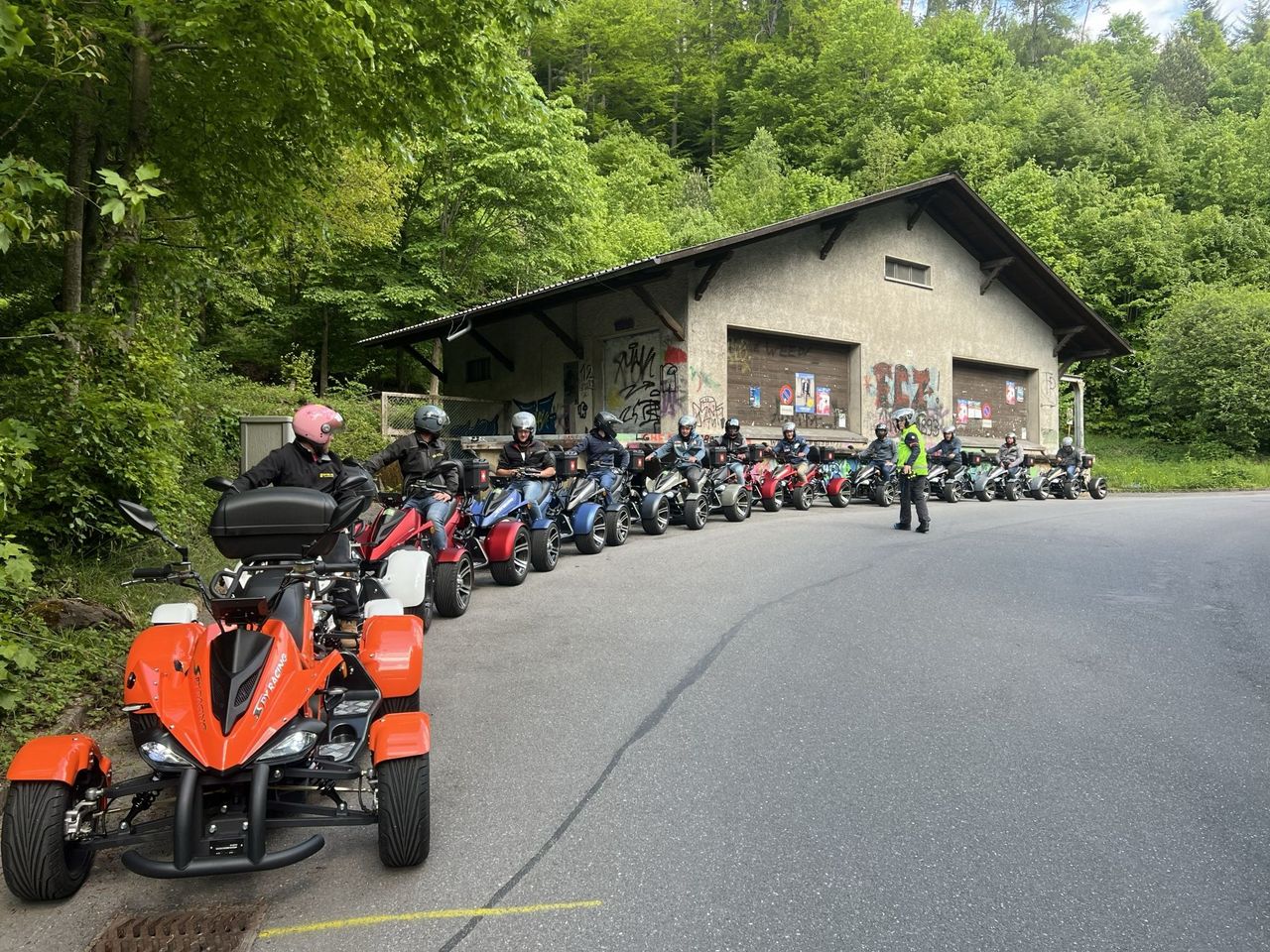
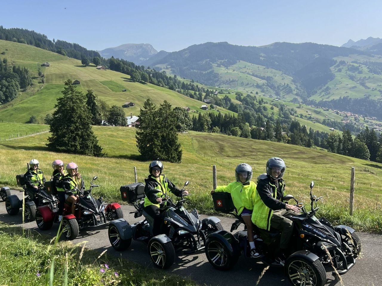
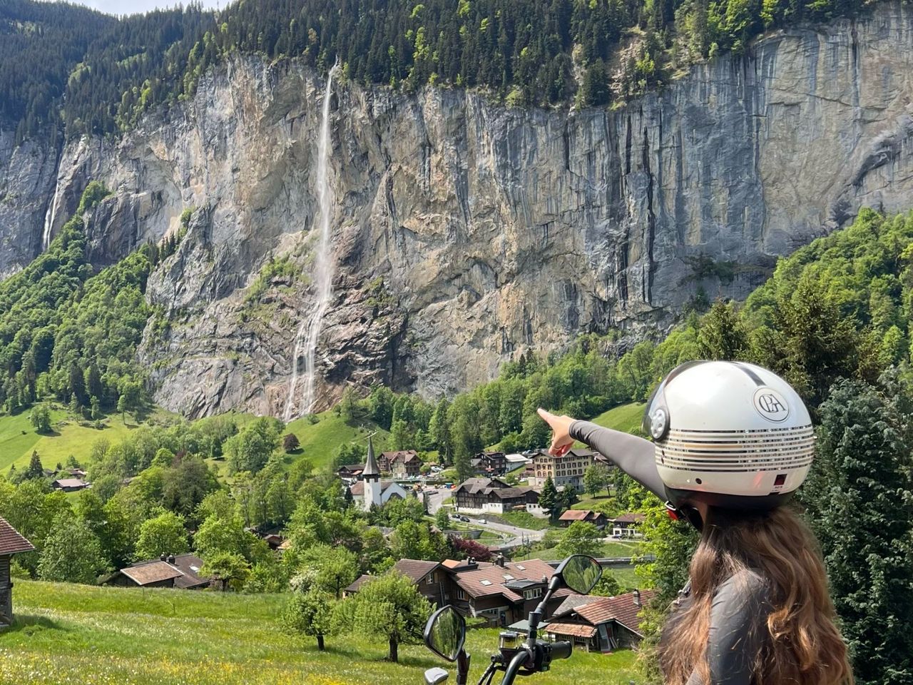
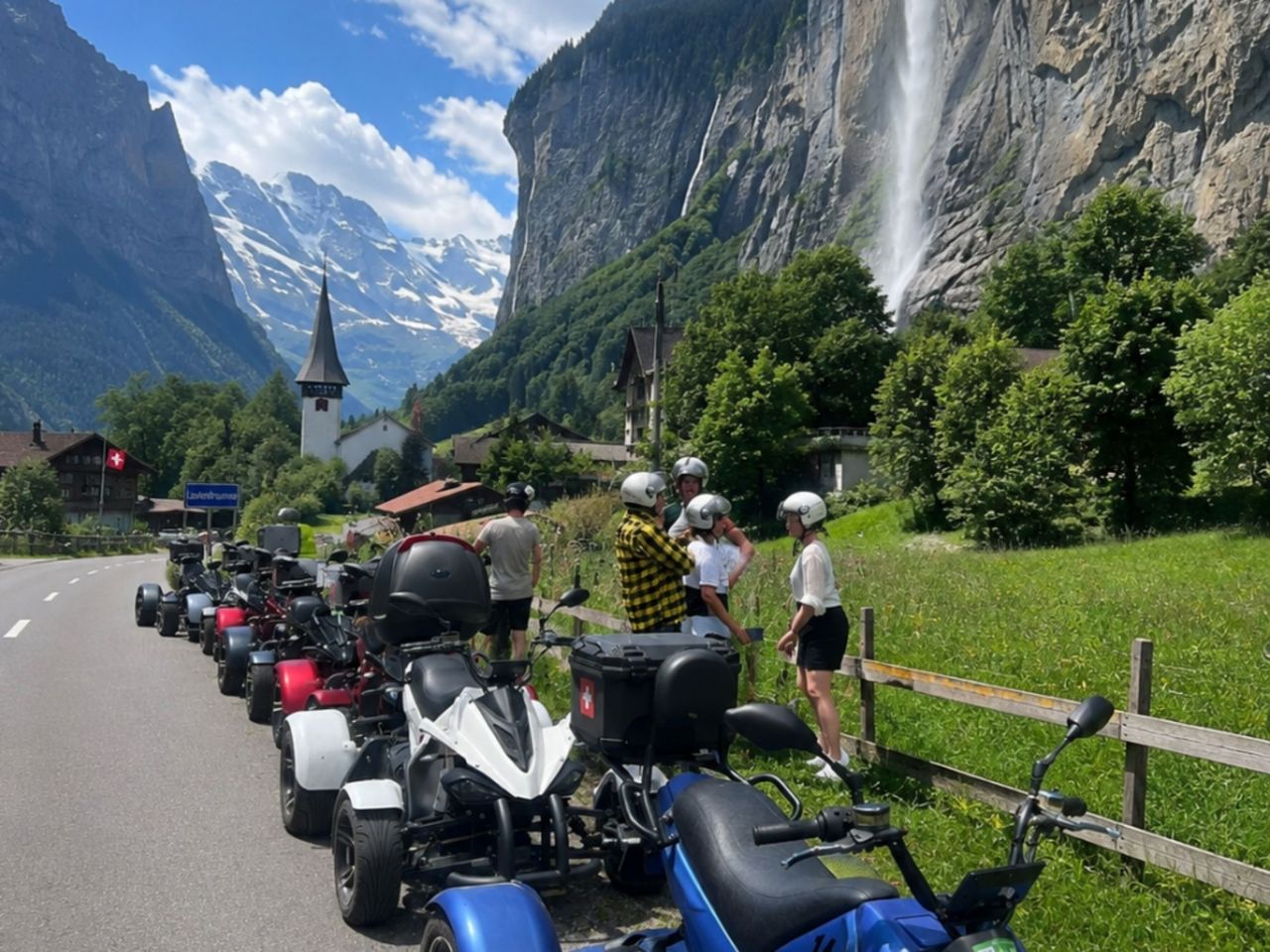
Lauterbrunnen Waterfall Tour on the electric quad from Interlaken
5.0(1)Interlakenper person
from £192
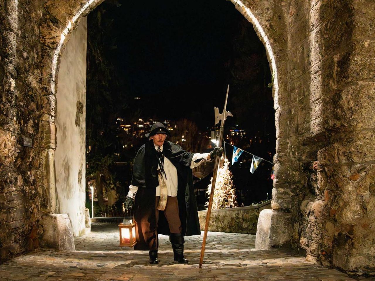
- "Find-the-Code: Spooky Corners" Outdoor Escape Game Bern


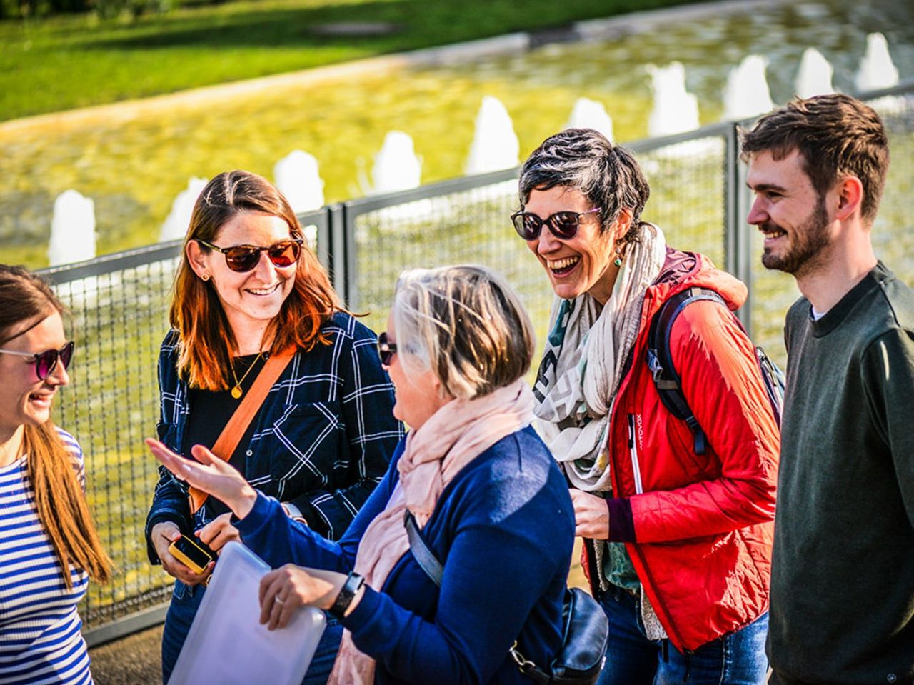
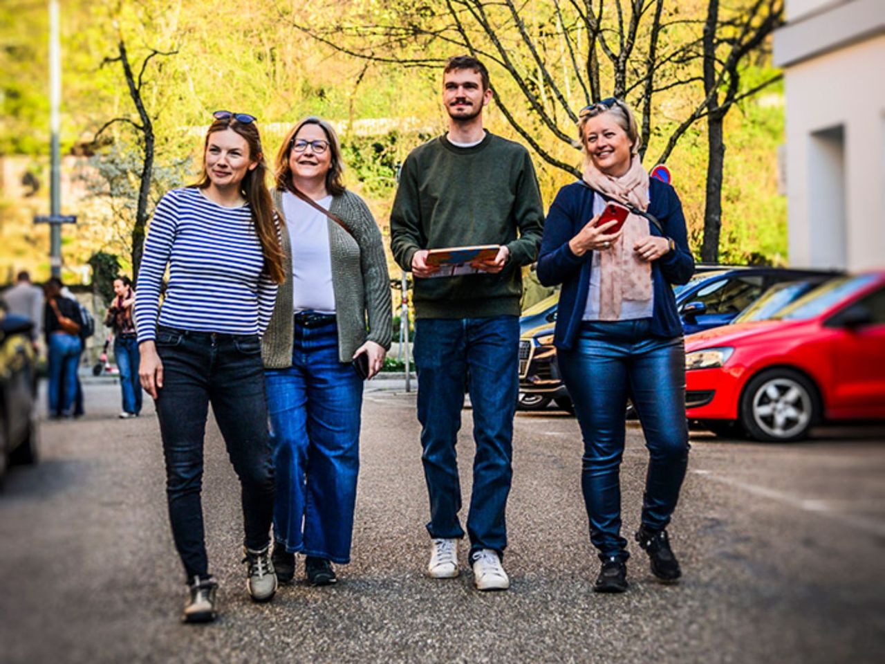
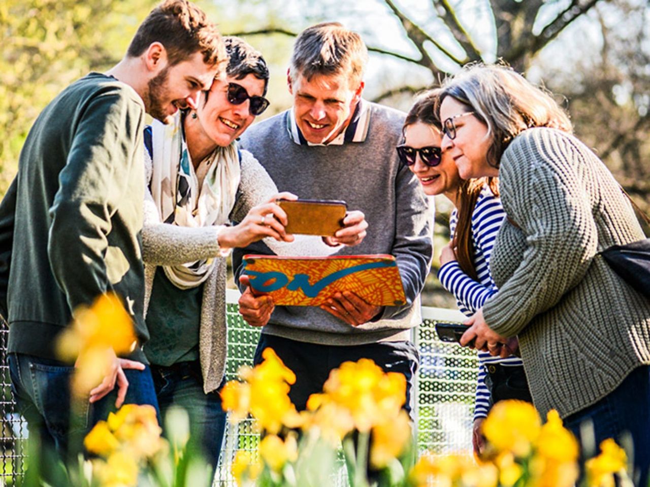
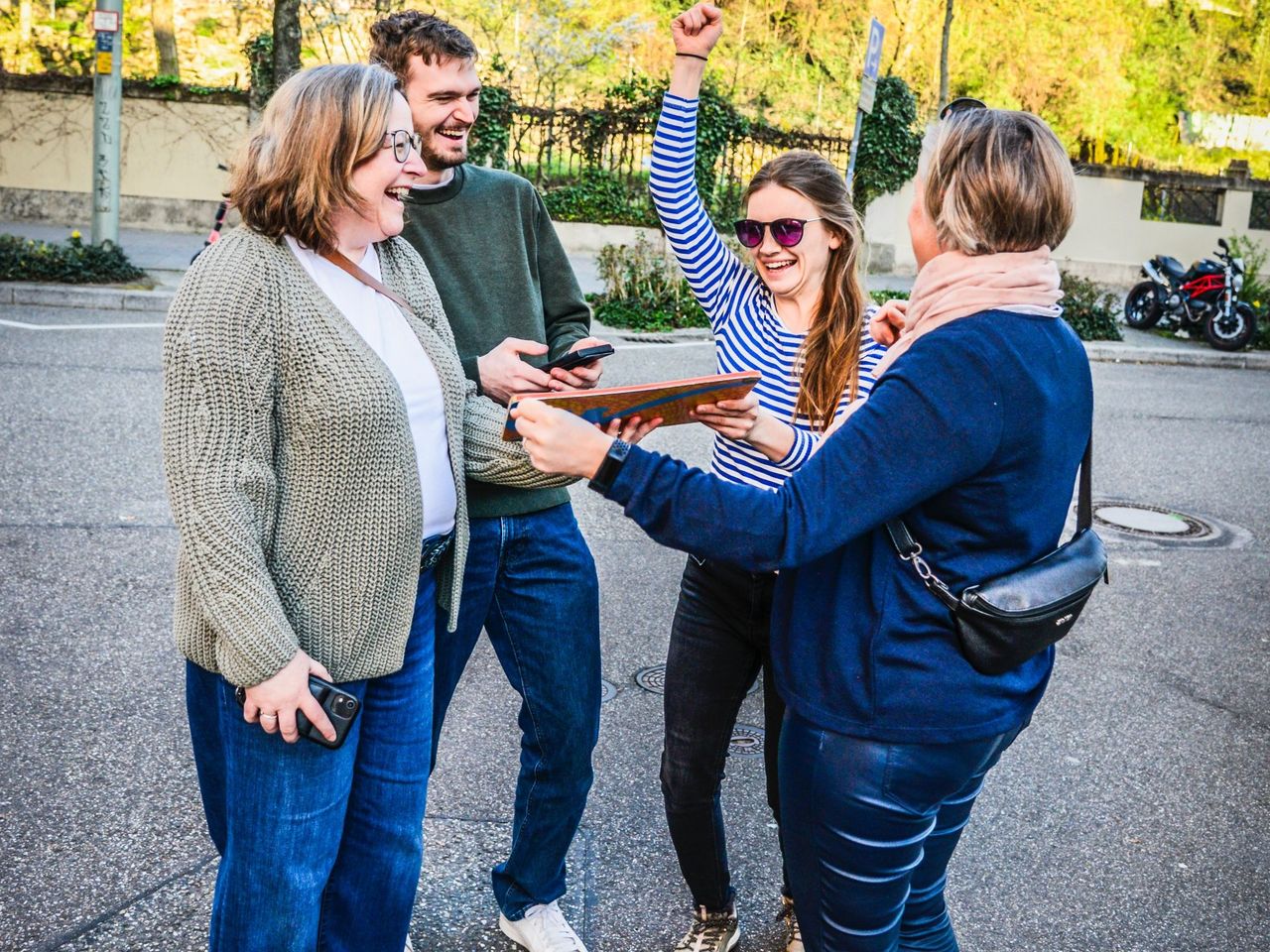
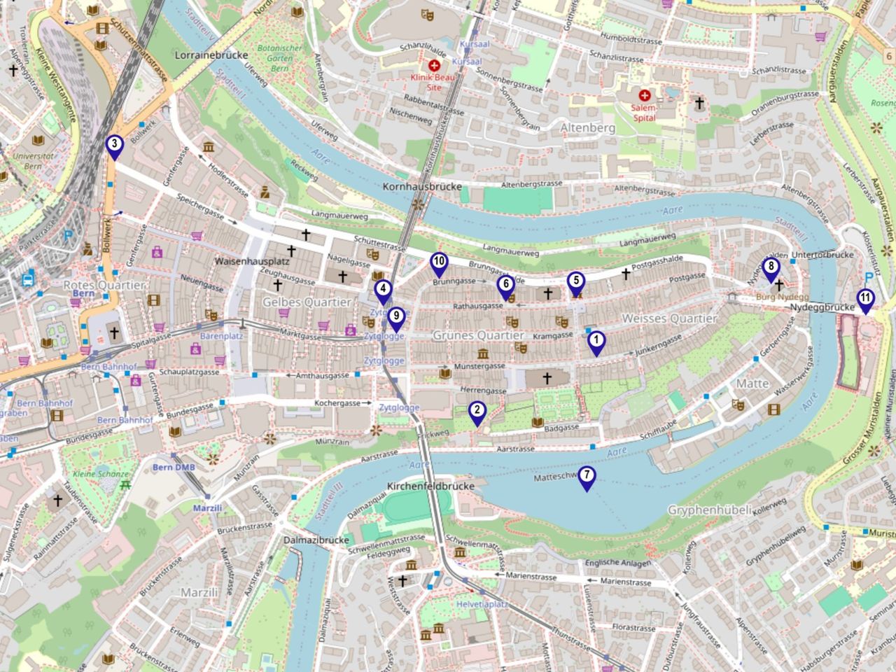
"Find-the-Code: Spooky Corners" Outdoor Escape Game Bern
Bernper person
from £39
- "Find-the-Code: The Torpedo Drill" Outdoor Escape Game Thun
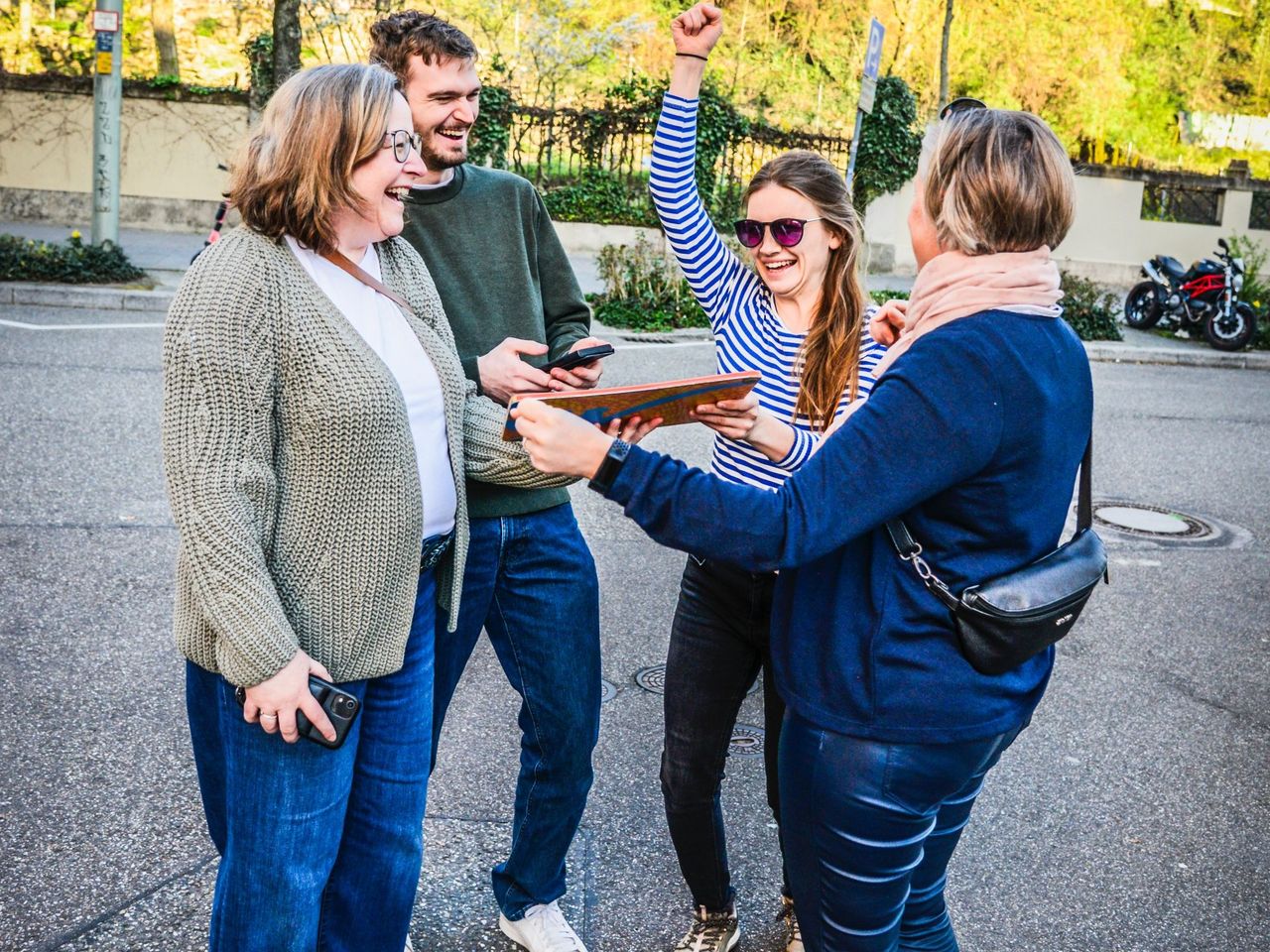
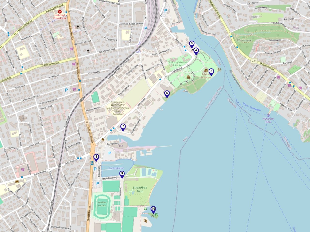
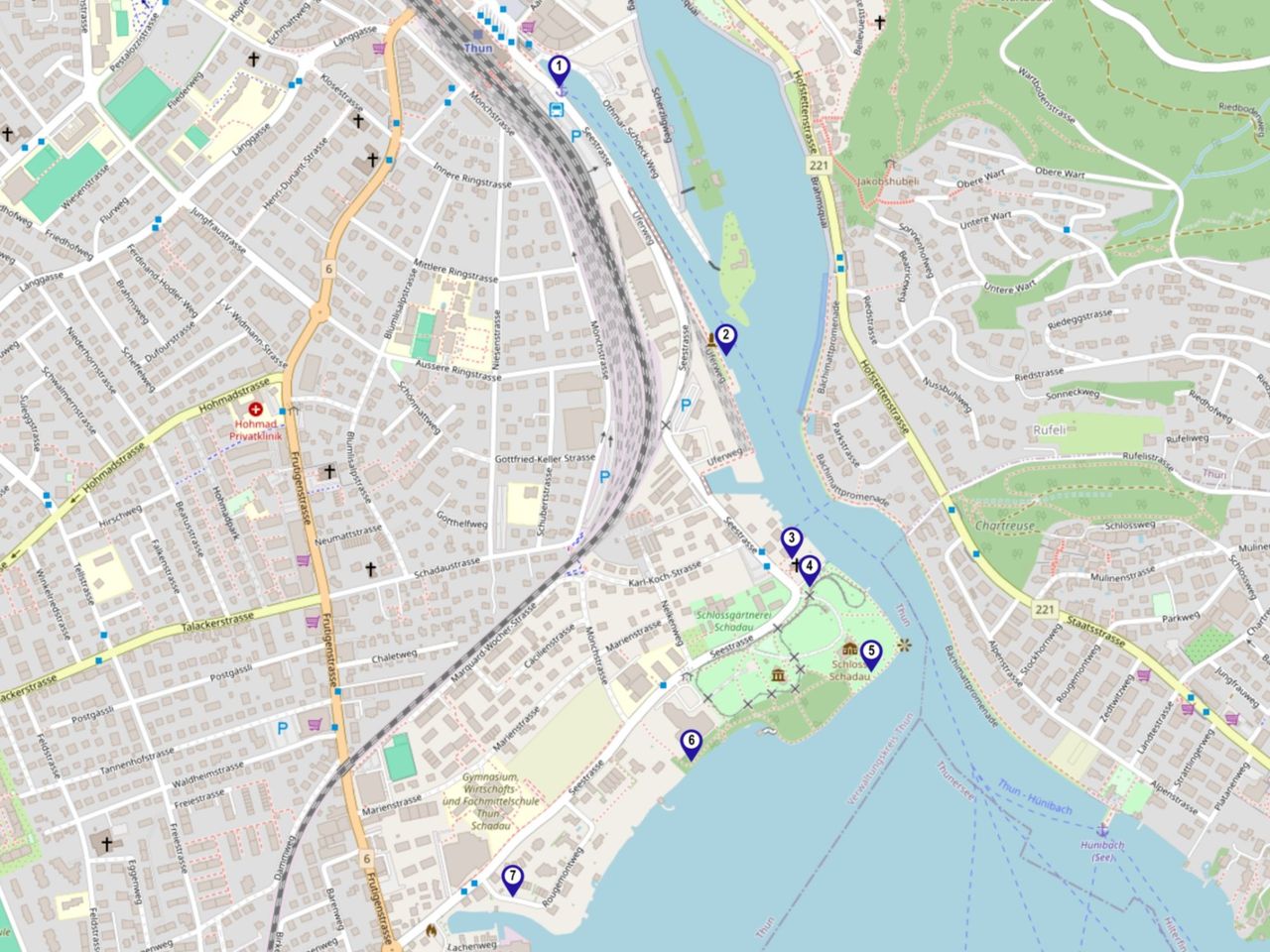
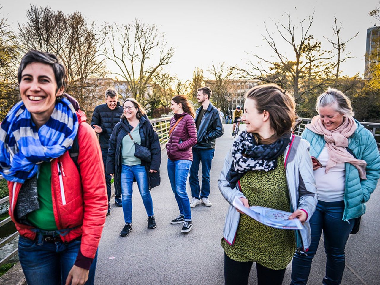
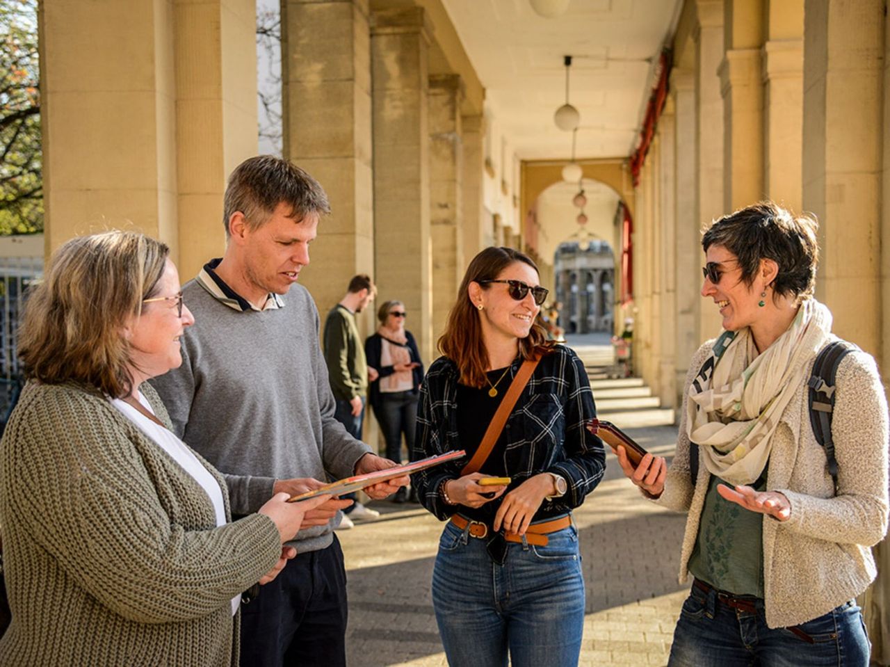
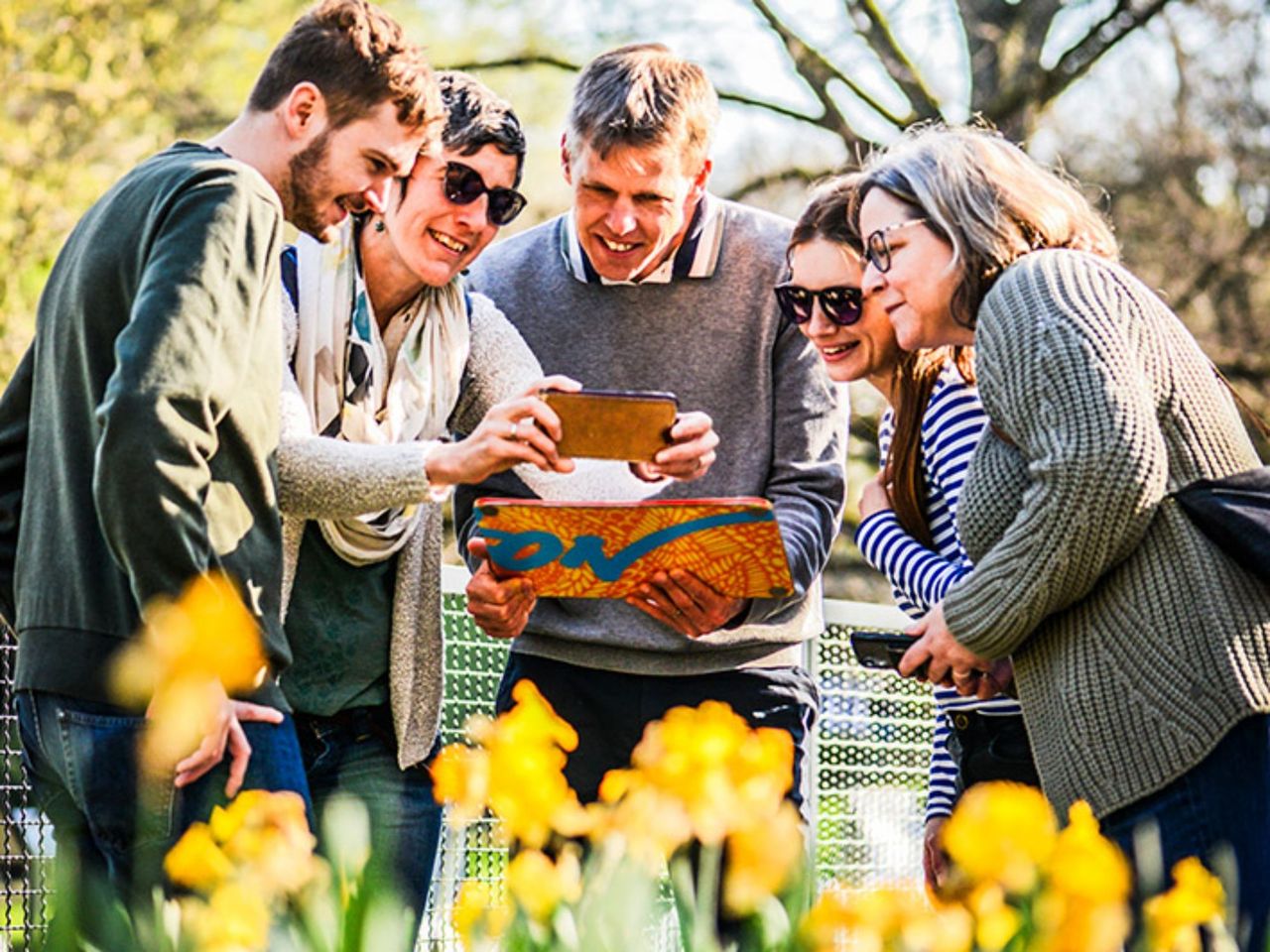
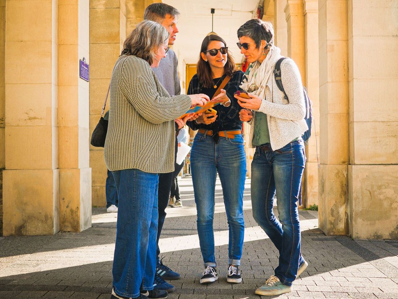
"Find-the-Code: The Torpedo Drill" Outdoor Escape Game Thun
Thunper person
from £39
- Pastry Course at the Grand Hotel Belvedere Wengen
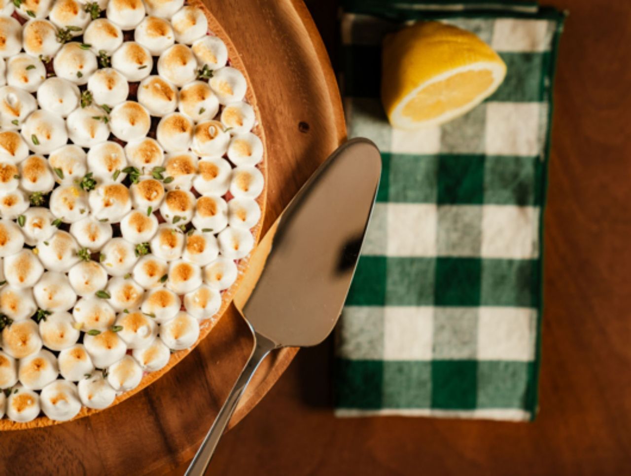
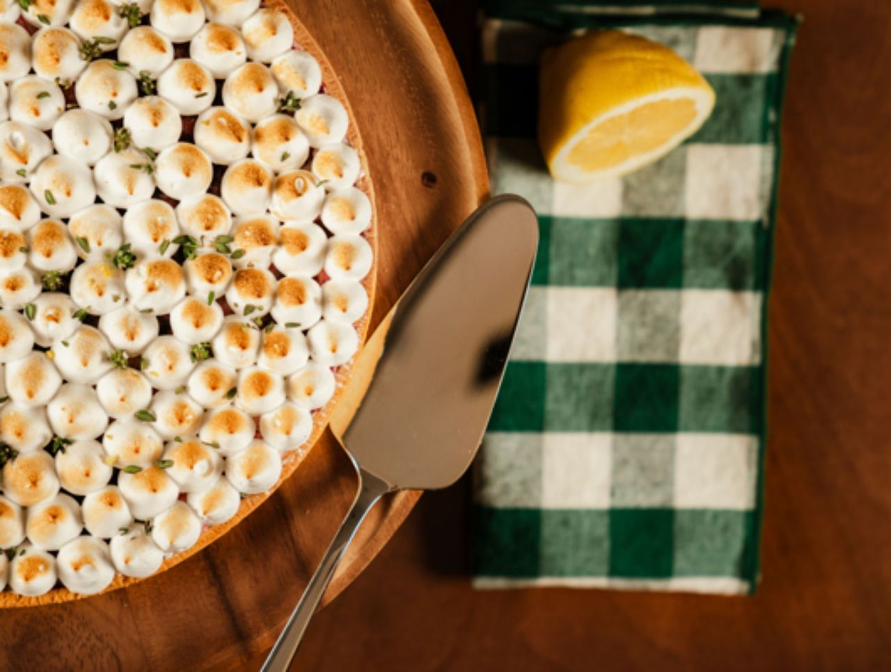
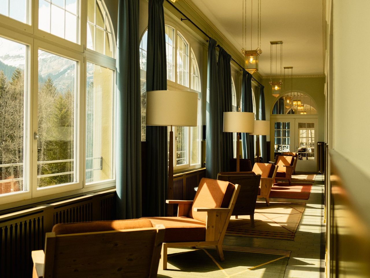
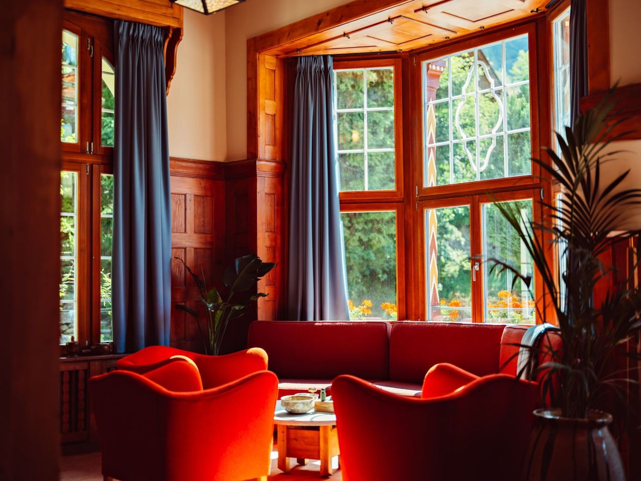
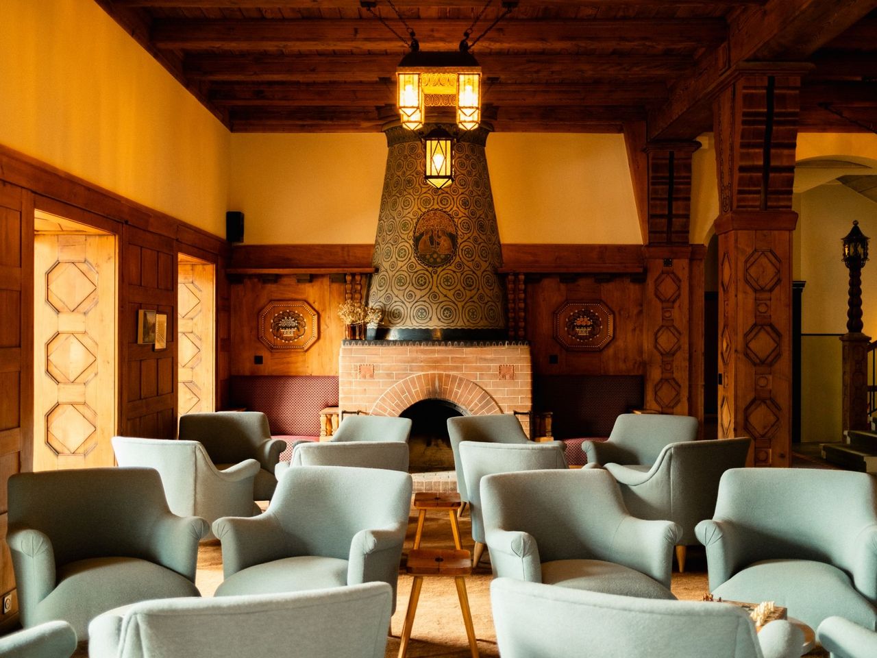
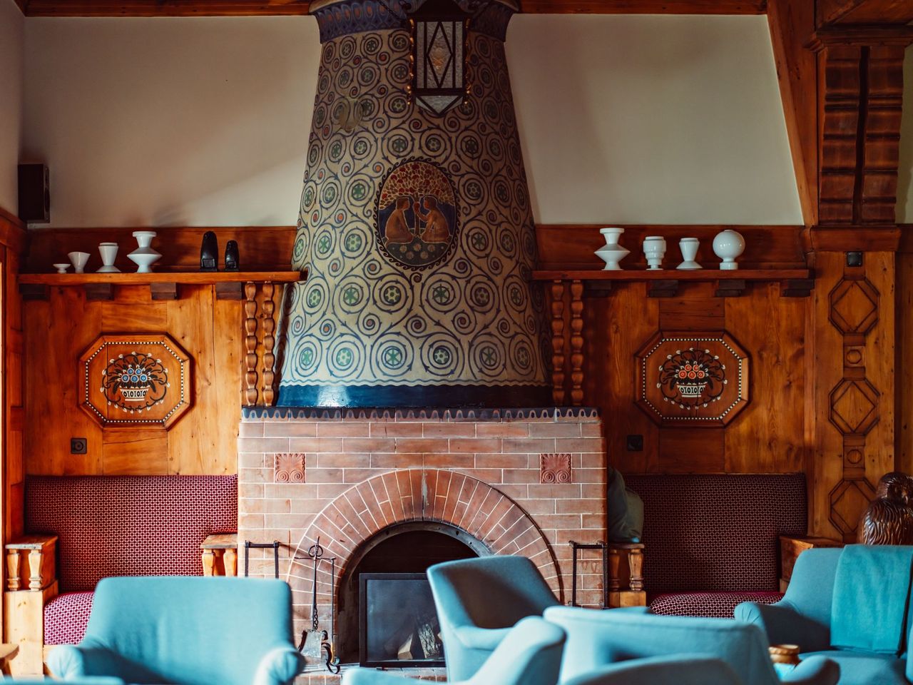
Pastry Course at the Grand Hotel Belvedere Wengen
Wengenper person
from £239
- "Operation Cheese" - Adventure Game Adelboden
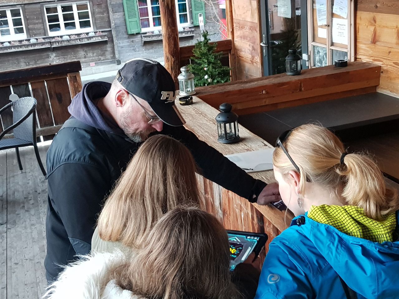
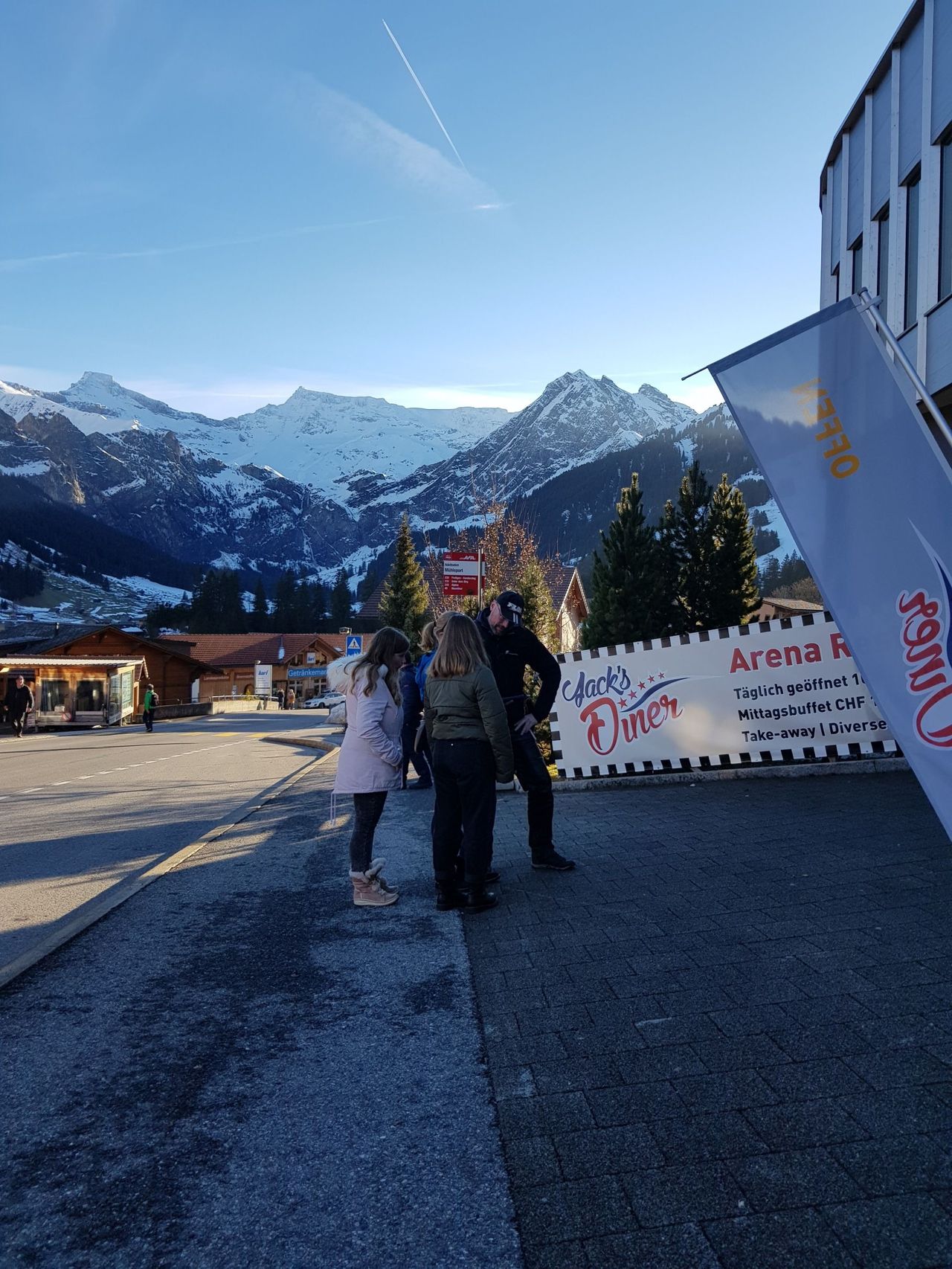
"Operation Cheese" - Adventure Game Adelboden
Adelbodenper person
from £38
Frequently asked questions
Team event Bern Region · answered by the editorial team
What is the Bern region known for?
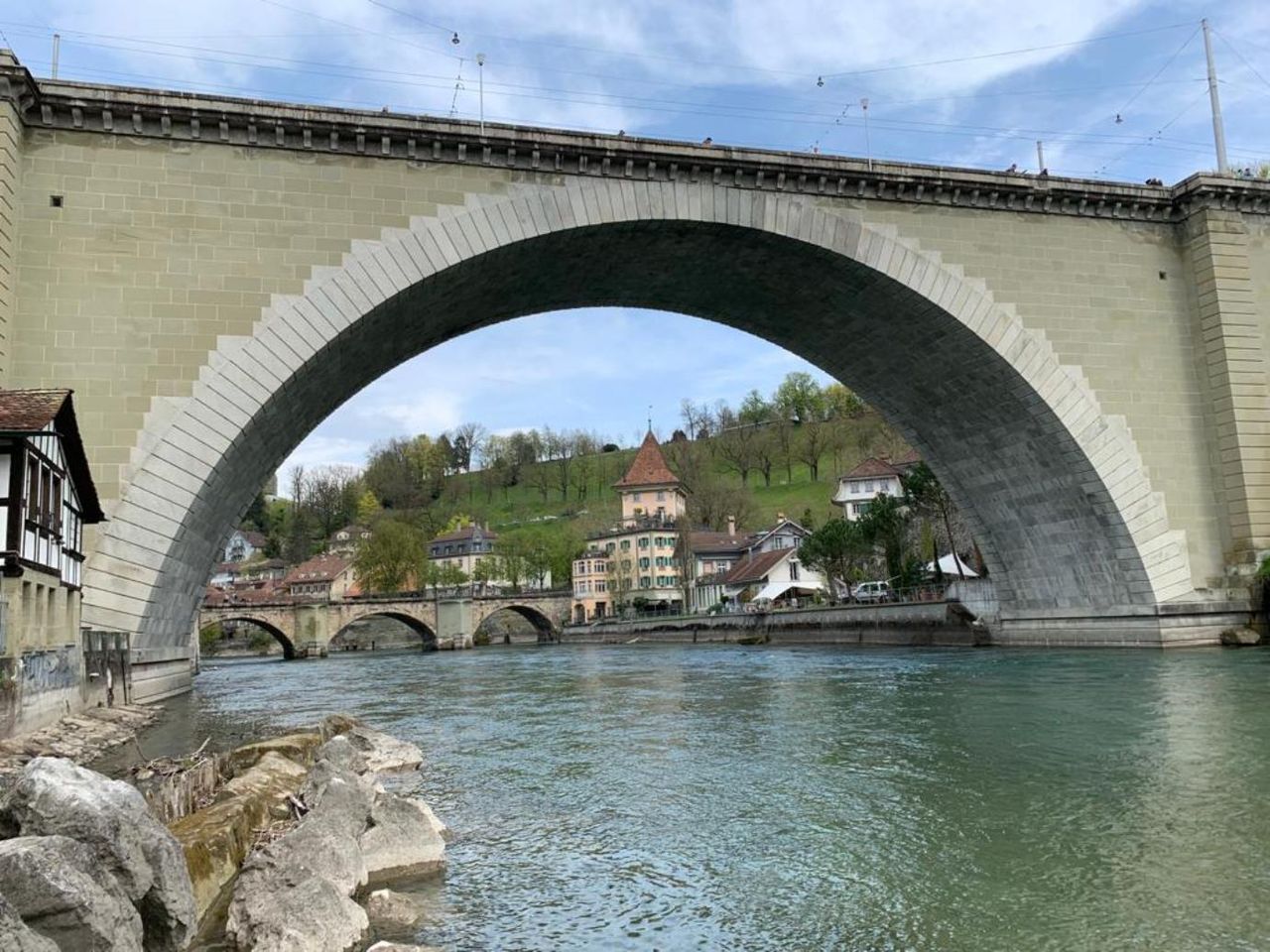
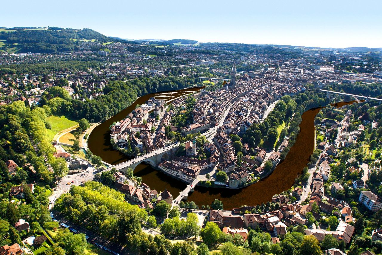
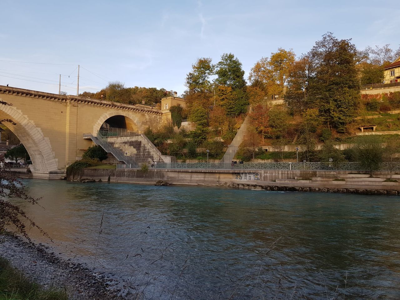
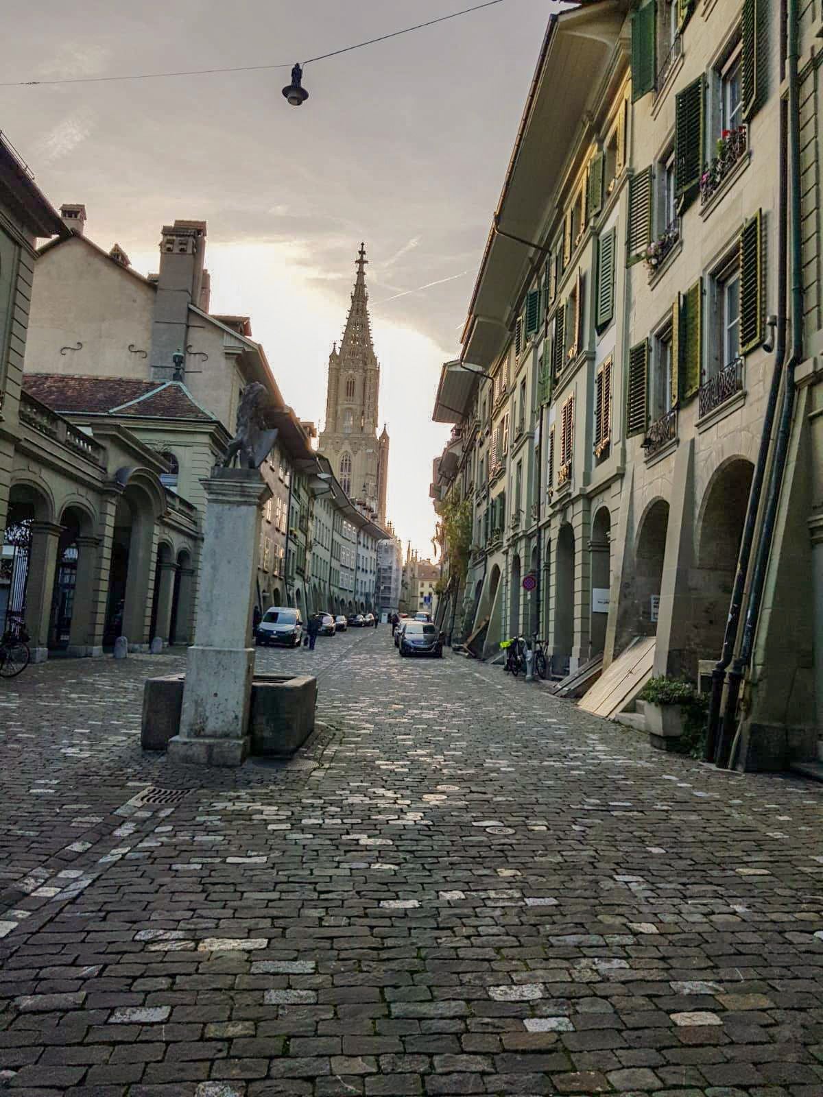
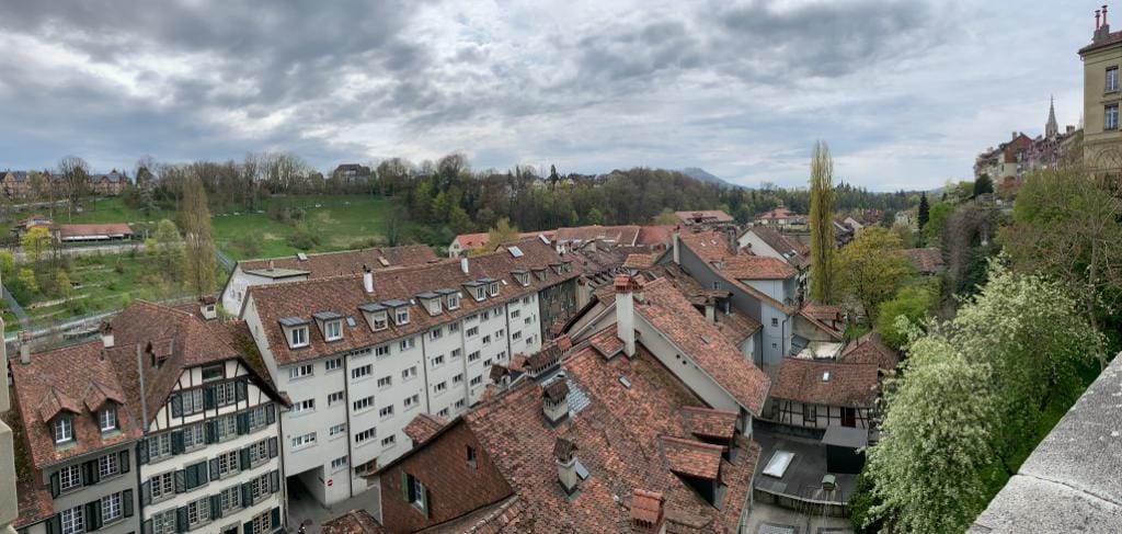
The city of Bern is already something very special. It is characterized by the Aare loop and is a UNESCO World Heritage Site. The so-called Röstigraben runs through the Bern region. The Röstigraben refers to the border between the German-speaking and French-speaking parts of Switzerland.
The Bern region is extremely interesting from a tourist point of view. The popular Bernese Oberland is endowed with an imposing mountain and lake landscape that is second to none. It forms a beautiful contrast to the hilly valleys with their stately farms lavishly decorated with flowers. An example of such a lovely valley is the Emmental. The Jungfrau region with the Eiger, Mönch and Jungfrau as well as the Aletsch glacier is one of the most popular excursion destinations within the Bern region
Which four-thousand-meter peaks belong to the Bern region?
The highest elevation in the Bern region is the 4273 meter high Finsteraarhorn. It is also the highest peak of the Bernese Alps. Together with the Great Fiescherhorn (4049 m), the Jungfrau (4158 m) and the Mönch (4107 m) it lies on the border between the regions of Bern and Valais. Entirely on Bernese territory are the Lauteraarhorn (4042 m) and the Schreckhorn (4078 m). The Eiger, with its 3970 meters, is just not an official four-thousand-meter peak
Three other four-thousanders are part of the Bernese Alps, but belong to the Valais region. These are the Aletschhorn (4194 m), the Grosse Grünhorn (4044 m) and the Hinter Fiescherhorn (4025 m).
Which viewpoints are located in the Bern region?
Within the region, there are countless viewpoints. One of the better-known spots is the Harder Kulm, the local mountain of Interlaken. At 1322 m above sea level, you can look over Interlaken while enjoying the stunning backdrop of the trio Eiger, Mönch, and Jungfrau.
In the Haslital, you can walk across the Trift Bridge and get an amazing view of the tongue of the Trift Glacier and the turquoise glacier lake. It takes a bit of courage to step onto it. Even the journey with the former cable car of Kraftwerke Oberhasli AG through the Trift Gorge is an adventure. Between the final station and the Trift Bridge, there's a mountain hike that takes about 90 minutes.
The viewpoint Ballenbühl is located southeast of Bern, above Konolfingen. Once you reach the top, you’ll be rewarded with a wonderful view over the city of Bern and the Bernese Alps.
From Wengen, you can easily reach two beautiful viewpoints that offer a fantastic view into the Lauterbrunnen Valley: the Leiterhorn (1526 m) is about an hour's walk from Wengen, and after another 30 minutes, you'll reach the Hunneflue (1363 m).
What are the gorges in the Bern region?
The area around Meiringen-Hasliberg features three stunning gorges. The Aare Gorge is up to 200 meters deep and, like the Rosenlaui Glacier Gorge, is very accessible via walkways and tunnels.
The Alpbach Gorge is a 30-minute hike from Meiringen and is only suitable for experienced hikers. You'll need a good head for heights and sure footing, as you'll encounter climbing paths without railings along the way.
The Grindelwald Glacier Gorge is well secured and offers a thrilling experience with its 170 m² network structure called "Spiderweb" for climbing above the roaring gorge.
Other gorges include the Wallbach Gorge near Lenk, the Chluse Gorge near Kandersteg, the Choleren Gorge near Adelboden, and the Sense and Schwarzwasser Graben in the Gantrisch Nature Park. The Bern region is also a hotspot for rafting and canyoning, thanks to its beautiful gorges.