
Swiss Activities
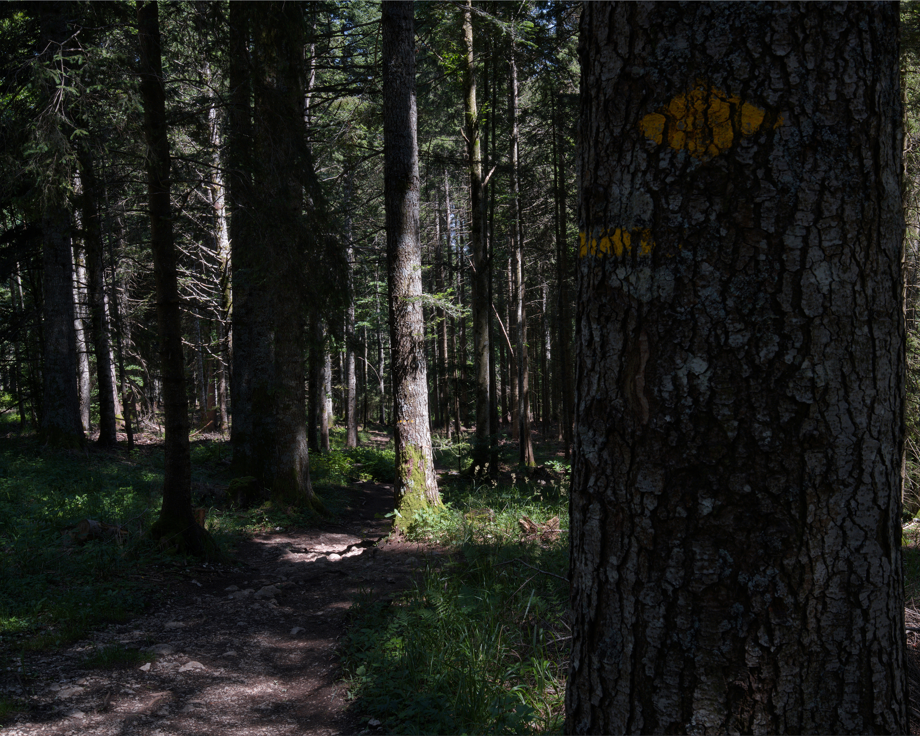
Au sommet du Jura

Au sommet du Jura

WanderwegHardPoint to point
16 km
6h 32m
760 m
1’000 m

Current closures & detours

  • Le Sentier station

    Amended routing

About this route

Der Wanderweg führt ausgehend vom Vallée de Joux am Fusse des Jura quer durch den regionalen Naturpark Jura Vaudois auf den höchsten Gipfel des Schweizer Jura. Herrlich ist das Panorama vom Mont Tendre (1679m) auf die Alpen und den Genfersee.

Route on the map

With kind support fromSchweiz Mobil

16 km

6h 32m

Alpi

Still have questions? Ask Alpi.

Alpi can help with routes, weather and everything worth knowing nearby.

Don't miss any activities

Subscribe to the newsletter and receive travel tips, ideas for your free time, and tailored travel guides from Switzerland.

This website is protected by reCAPTCHA. Google's Privacy Policy and Terms of Service apply.