

Swiss Activities
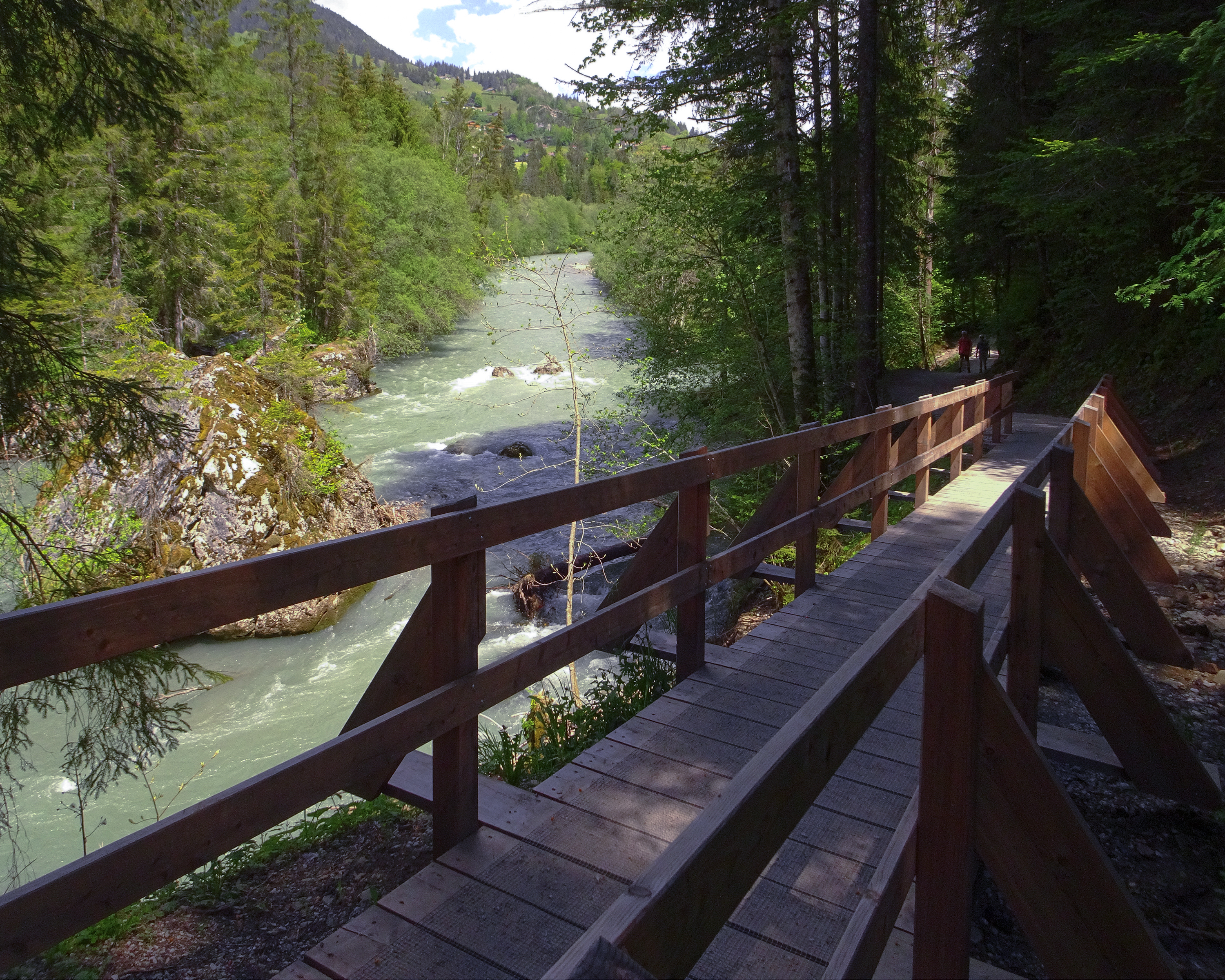
Chemin de la Sarine au Pays-d'Enhaut

Chemin de la Sarine au Pays-d'Enhaut

BergwanderwegMediumPoint to point
14 km
4h 34m
360 m
460 m

Current closures & detours

  • Saane Riverbank, Turrian Bridge - Gérignoz

    Path impassable

  • Rive de la Sarine - Cascade

    Storm damage

  • Saane Riverbank, Turrian Bridge - Gérignoz

    Path impassable · 8 m

About this route

Von Rougemont, dem einstigen Priorat von Cluny, über den Kirchenhügel von Château-d'Oex zum Grand Chalet von Rossinière. Zwischen dem wilden Lauf der Saane und geschichtsträchtigen Landschaften, die von den Bergbauern gestaltet wurden.

Route on the map

With kind support fromSchweiz Mobil

14 km

4h 34m

Alpi

Still have questions? Ask Alpi.

Alpi can help with routes, weather and everything worth knowing nearby.

Don't miss any activities

Subscribe to the newsletter and receive travel tips, ideas for your free time, and tailored travel guides from Switzerland.

This website is protected by reCAPTCHA. Google's Privacy Policy and Terms of Service apply.