


Hiking Trail
Weg der Schweiz
- Mountain hiking trail
- Medium
- UR
- Distance
- 35 km
- Walking time
- 12 h 29 min
- Ascent
- 1’400 m
- Descent
- 1’400 m
- Highest point
- 873 m

Still have questions? Ask Alpi.
Alpi can help with routes, weather and everything worth knowing nearby.
Elevation profile
Point at a spot with your mouse
About this route
Der Weg der Schweiz führt einen nicht nur zurück zu den geschichtlichen Wurzeln unseres Landes, sondern bietet auch viel Abwechslung. Mit dem Schiff kann man aus einer Vielzahl von Ausgangs- und Zielpunkten auswählen.
Map
Getting there and tickets
- Public transport at startRütliBoat · 1 min walk to the trail
- Public transport at finishBrunnen (See)Boat · 1 min walk to the trail
Sun, 22 Nov1 adult
Your hiking plan
from Zürich HB
The day
Pricing the ticket …
Zürich HB
Brunnen (See)
End of the route
Zürich HB
Popular activities
- Weg der Schweiz, Stage 1/4


Weg der Schweiz, Stage 1/4
BergwanderwegSeelisberg (Rütli) → Bauen · 9.0 km · 3 h 54 min0.1 km - Trans Swiss Trail, Stage 20/32


Trans Swiss Trail, Stage 20/32
BergwanderwegSeelisberg → Erstfeld · 24 km · 7 h 7 min3.1 km - Rigi–Reuss–Klettgau, Stage 1/4


Rigi–Reuss–Klettgau, Stage 1/4
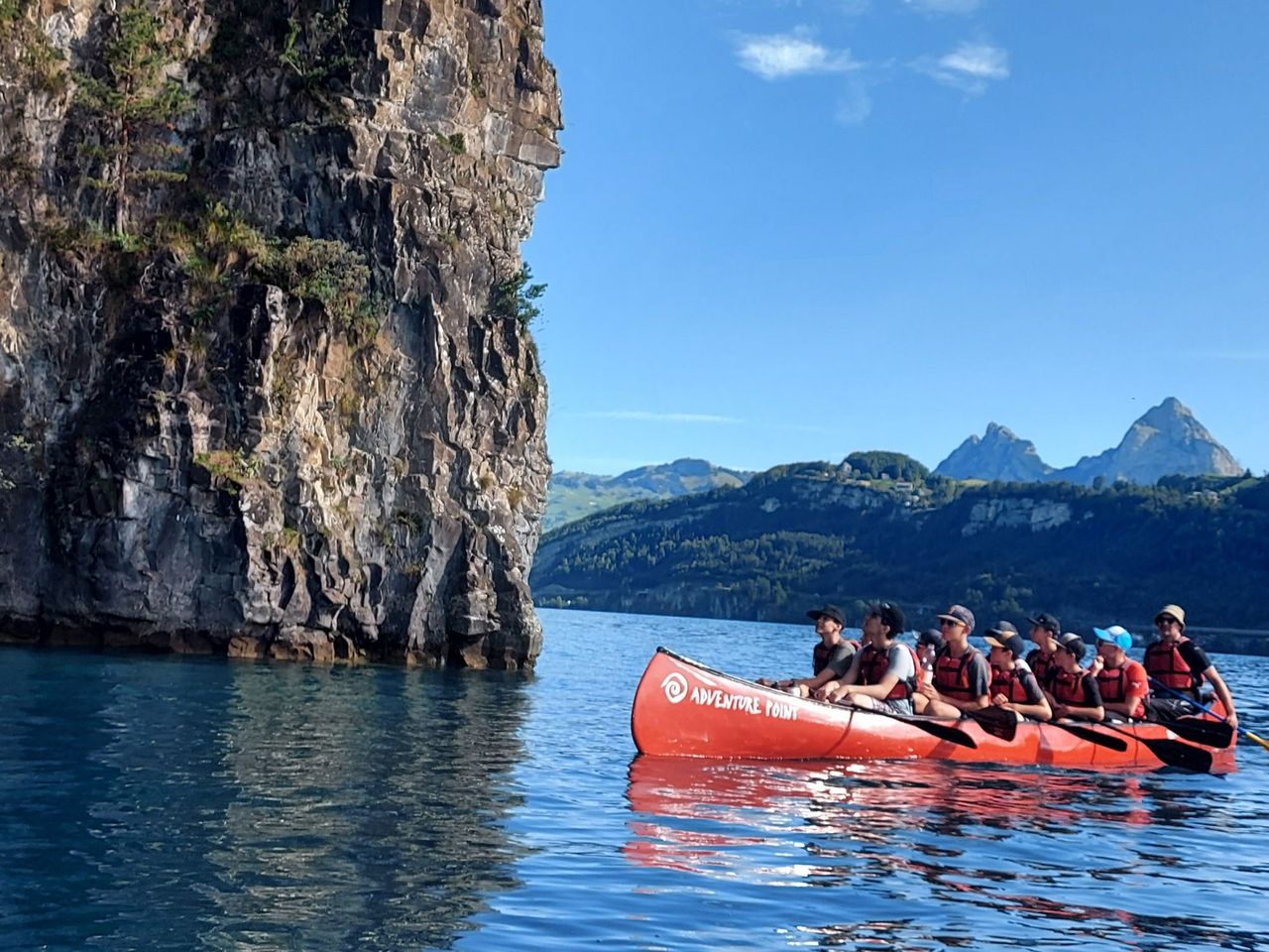
Cycling routesBrunnen → Rotkreuz · 31 km3.1 km - Team event with the big canoe on Lake Lucerne
 1/7
Team event with the big canoe on Lake Lucerne
Brunnen-Ingenbohl3.6 kmper person
from CHF 85.60
- HotTug boat Lake Lucerne from Buochs
 1/6
HotTug boat Lake Lucerne from Buochs
5.0(2)Buochs19.3 kmper person
from CHF 125
- Ticket Glasi Hergiswil Museum "Shaped by Fire"
 1/4
Ticket Glasi Hergiswil Museum "Shaped by Fire"
5.0(5)Hergiswil36.1 kmper person
from CHF 7


