


Hiking Trail
Prättigauer Höhenweg, Stage 4/4
- Mountain hiking trail
- Hard
- GR
- Distance
- 23 km
- Walking time
- 10 h 45 min
- Ascent
- 1,400 m
- Descent
- 1,600 m
- Highest point
- 2,256 m
Elevation profile
Point at a spot with your mouse
About this route
Vorbei an einzelnen Gehöften führt die Route entlang des Alpbachs bis zum Jägglisch Horn. Auf 2'257 m ü. M. reicht der Blick über den Rätikon und den Prättigauer Höhenweg. Die folgende Querung führt vorbei am Freizeitpark Madrisa Land und dem Schlappintobel hinunter nach Klosters.
Map
Getting there and tickets
- Public transport at startSt. Antönien, PlatzBus · 1 min walk to the trail
- Public transport at finishKlosters Platz, BahnhofBus · 1 min walk to the trail
Sat, Oct 241 adult
Your hiking plan
from Zürich HB
The day
Pricing the ticket …
Zürich HB
Klosters Platz, Bahnhof
End of the route
Zürich HB
Popular activities
- St.-Antönien-Pany-Weg


St.-Antönien-Pany-Weg
Winter hiking routesSt. Antönien → Pany · 9.0 km · 3 h 21 min0 km - Walserweg, Stage 19/19


Walserweg, Stage 19/19
BergwanderwegSt. Antönien → Brand (A) · 31 km · 12 h 57 min0 km - ESCAPE OVER THE MOUNTAINS TO THE PRÄTTIGAU
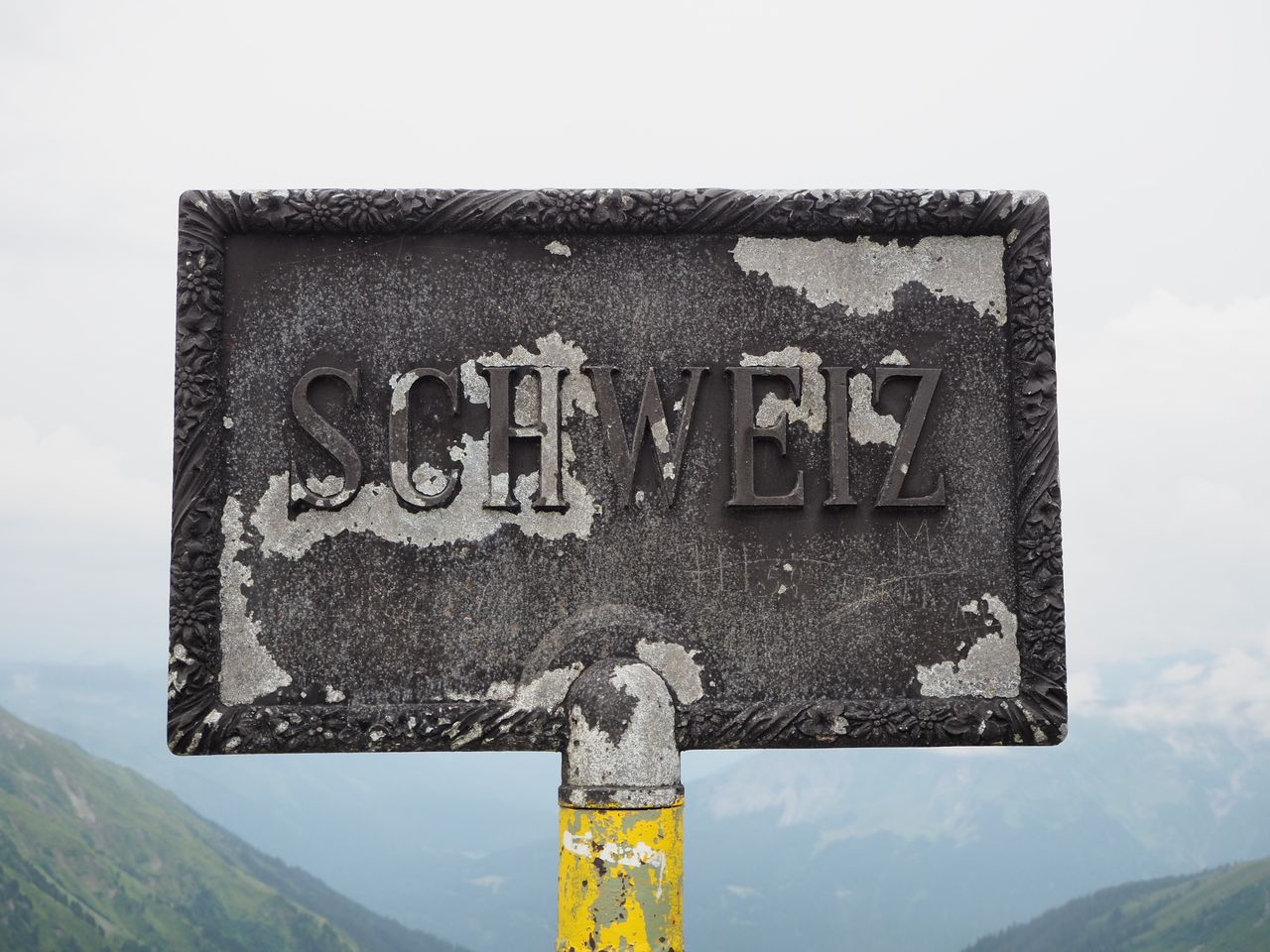
ESCAPE OVER THE MOUNTAINS TO THE PRÄTTIGAU
EventSt. Antönien0.2 km - Open music-making at Volksmusighus St. Antönien

Open music-making at Volksmusighus St. Antönien
EventSt. Antönien0.2 km - Wine and cooking tour for groups
 1/8
Wine and cooking tour for groups
Maienfeld31.1 kmper person
from $443
- Carriage ride with fondue Heidiland Bündner Herrschaft
 1/10
Carriage ride with fondue Heidiland Bündner Herrschaft
4.7(7)Maienfeld31.2 kmper person
from $608
- Culinary tour Bündner Herrschaft by e-bike from Bad Ragaz
 1/9
Culinary tour Bündner Herrschaft by e-bike from Bad Ragaz
4.8(6)Bad Ragaz32.4 kmper person
from $125


