
Castels bei Mels - Guided hike
Terminy
O tym miejscu
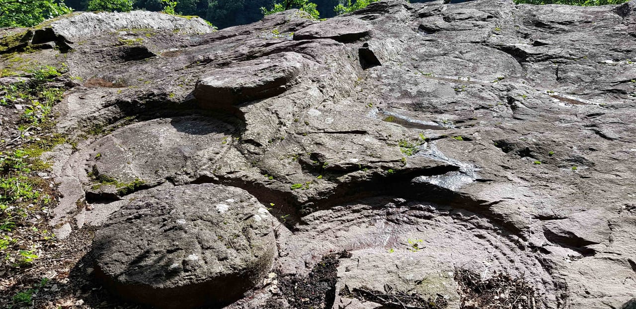
The hill between Mels and Flums fascinates with its panoramic position in the middle of Sarganserland. The geological conditions and the formation of rounded rock humps during the Ice Age are notable. The industrial and mining history bears witness to former activities linked to the raw materials once in demand. In prehistory, Castels was a fortified site, and during the Second World War a fortress for artillery. The Melser Geoweg is an educational trail and gives you an insight into an exceptional landscape. It also aims to introduce you to the rocks, their extraction and processing. On the hill plateau, you can view in an exhibition the various rocks found in the region and important for the UNESCO World Natural Heritage Tektonikarena Sardona. The area is part of the BLN inventory site «Melser Hinterberg-Flumser Kleinberg».
Lokalizacja
Verrucano Mels - Kultur und Kongresshaus
Platz 4, 8887 Mels
8887 Mels