Itinéraires VTT
Schächental Bike
- Difficile
- UR
- Distance
- 58 km
- Montée
- 2 300 m
- Descente
- 2 300 m
- Point culminant
- 1 947 m
Profil d'altitude
Pointe la souris sur un endroit
À propos de cet itinéraire
Die Tour entlang des Höhenwegs Schächental ist der Klassiker unter den Bikestrecken. Die traumhafte Panoramafahrt wartet mit optimaler Infrastruktur und knackigen Aufstiegen und Abfahrten in lieblicher Landschaft auf.
Carte
Accès et billets
- TP au départAltdorf UR, Bahnhof OstBus · 1 min à pied jusqu'au sentier
- TP à l'arrivéeAltdorf UR, Bahnhof OstBus · 1 min à pied jusqu'au sentier
Activités populaires
- ViaGottardo, Étape 8/20
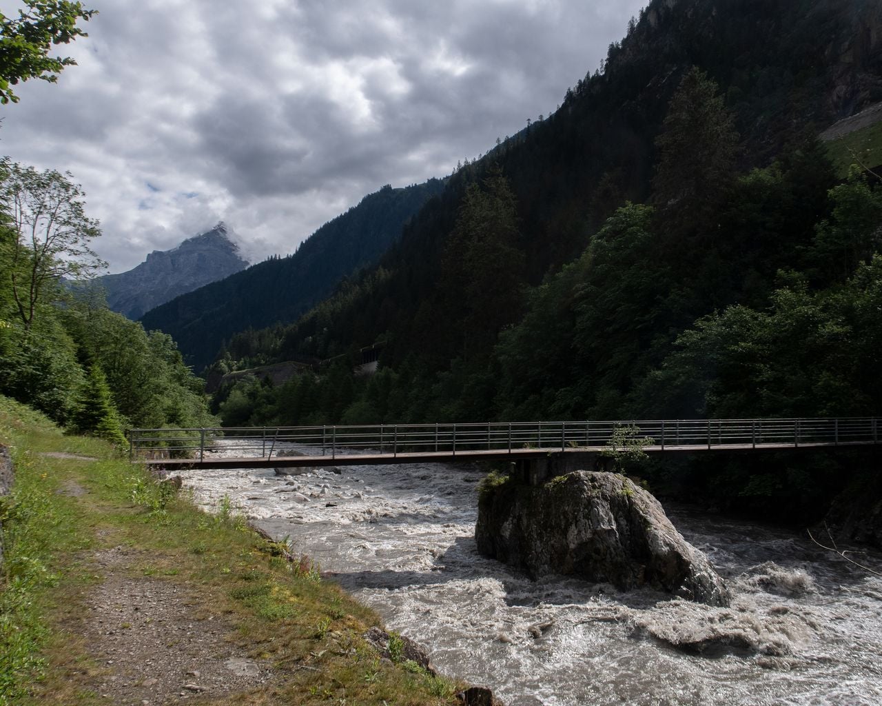

ViaGottardo, Étape 8/20
BergwanderwegAltdorf → Wassen · 28 km · 9 h 21 min1.1 km - ViaSuworow, Étape 5/11
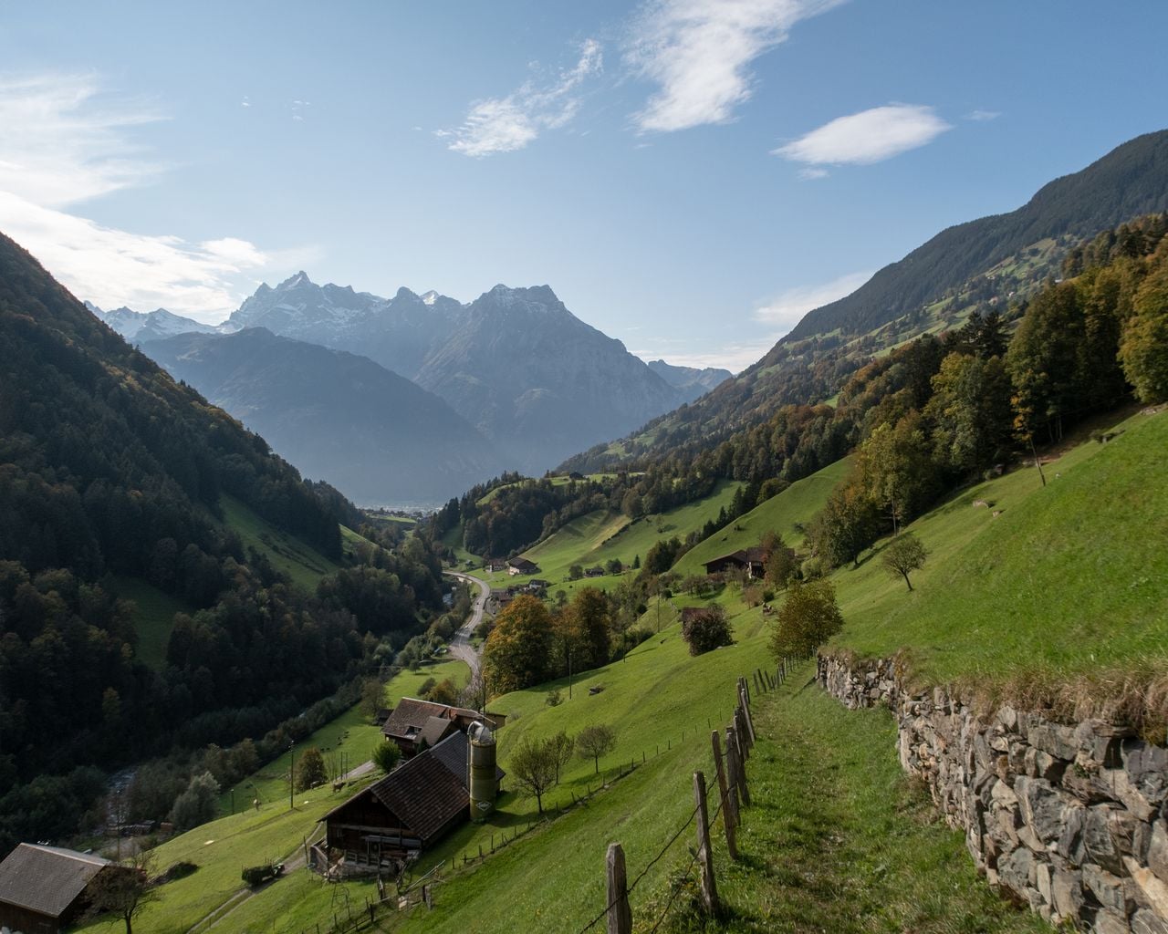
ViaSuworow, Étape 5/11
BergwanderwegAltdorf → Biel-Chinzig · 10 km · 5 h 53 min1.3 km - Via Alpina, Étape 7/20
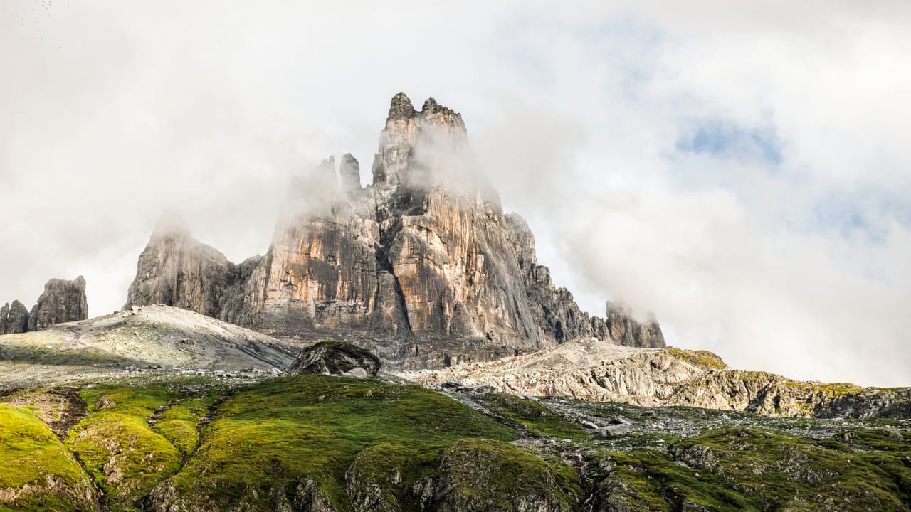

Via Alpina, Étape 7/20
BergwanderwegAltdorf (UR) → Engelberg · 30 km · 13 h 45 min1.3 km - Location de kayak ou de canoë au lac des Quatre-Cantons, depuis Brunnen
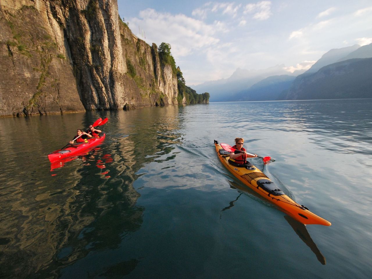 1/7
Location de kayak ou de canoë au lac des Quatre-Cantons, depuis Brunnen
Brunnen-Ingenbohl15.5 kmpar personne
à partir de 76 €
- "Vol panoramique" parapente Lac des Quatre-Cantons au départ d'Emmetten
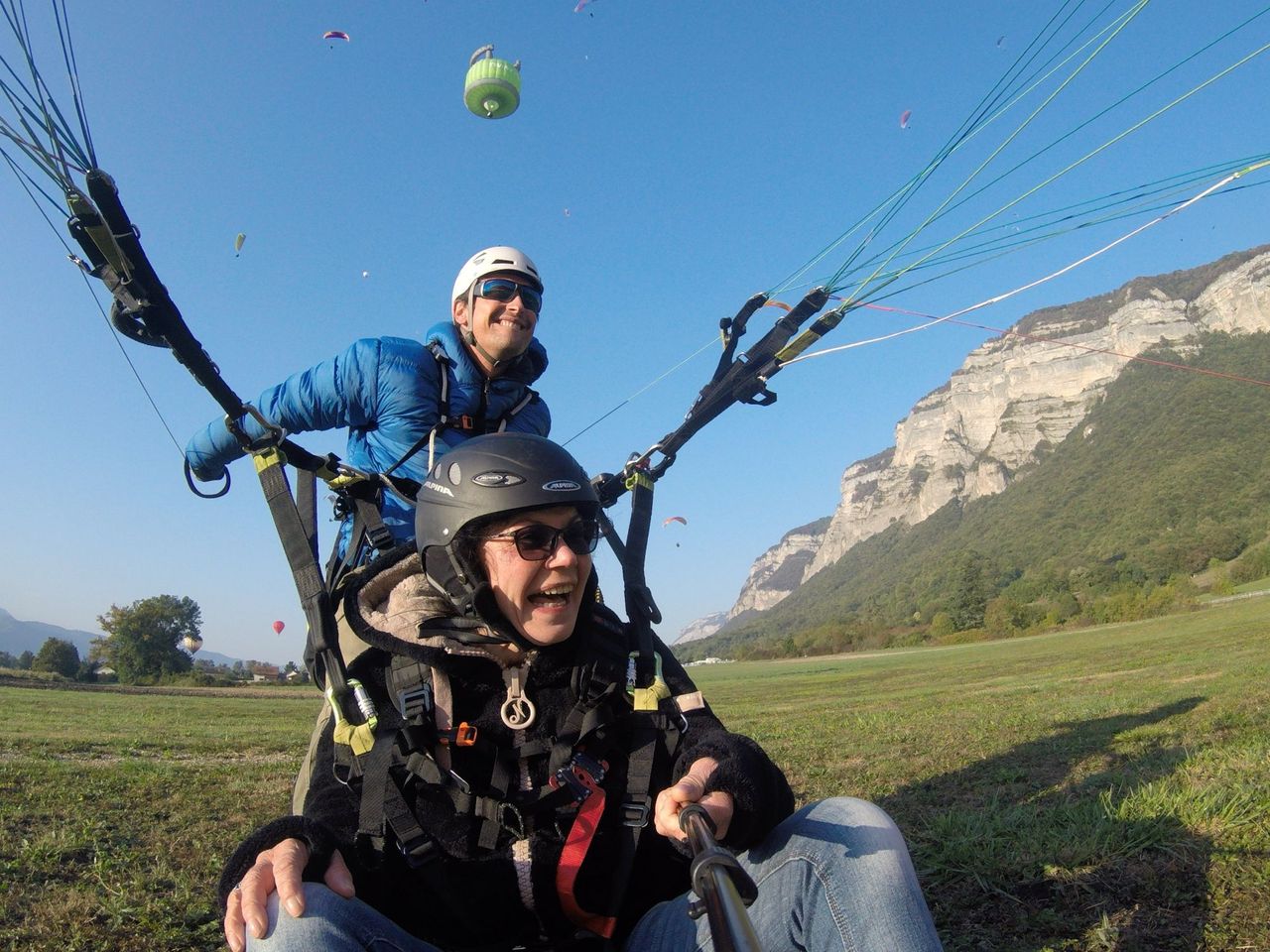 1/8
"Vol panoramique" parapente Lac des Quatre-Cantons au départ d'Emmetten
5,0(2)Emmetten30.8 kmpar personne
à partir de 228 €
- Niederbauen Parapente en tandem au lac des Quatre-Cantons
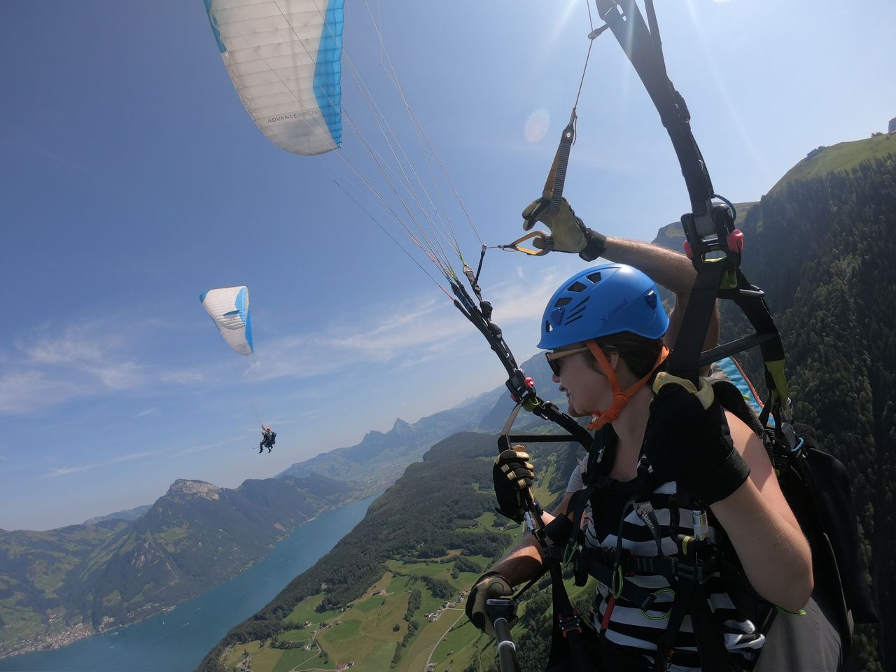 1/6
Niederbauen Parapente en tandem au lac des Quatre-Cantons
4,8(10)Emmetten30.9 kmpar personne
à partir de 228 €