Ruta de Senderismo
Höhenweg Almagelleralp
- Sendero de montaña
- Difícil
- VS
- Distancia
- 11 km
- Duración
- 4 h 33 min
- Ascenso
- 320 m
- Descenso
- 1050 m
- Punto más alto
- 2521 m
Perfil de elevación
Señala un punto con el ratón
Sobre esta ruta
Vom idyllischen Kreuzbodensee und der farbigen Alpenblumenpromenade übers romantische Almagellertal zur Almagelleralp und über den abenteurlichen Erlebnisweg bis hin zu Furggstalden – der Höhenweg Almagelleralp ist an Vielfalt kaum zu übertreffen.
Mapa
Cómo llegar y billetes
- Transporte público al inicioKreuzbodenTeleférico · 1 min a pie hasta el sendero
- Transporte público al finalSaas-Almagell, DorfplatzAutobús · 1 min a pie hasta el sendero
sáb, 24 oct1 adulto
Tu plan de senderismo
desde Zürich HB
El día
Calculamos el billete …
Zürich HB
Saas-Almagell, Dorfplatz
Final de la ruta
Zürich HB
Actividades populares
- Heimischgarte Trail
Heimischgarte Trail
Rutas con raquetas de nieveSaas-Balen → Saas-Grund · 9.0 km · 5 h 36 min8.8 km - Saas-Balen–Stalden Bike
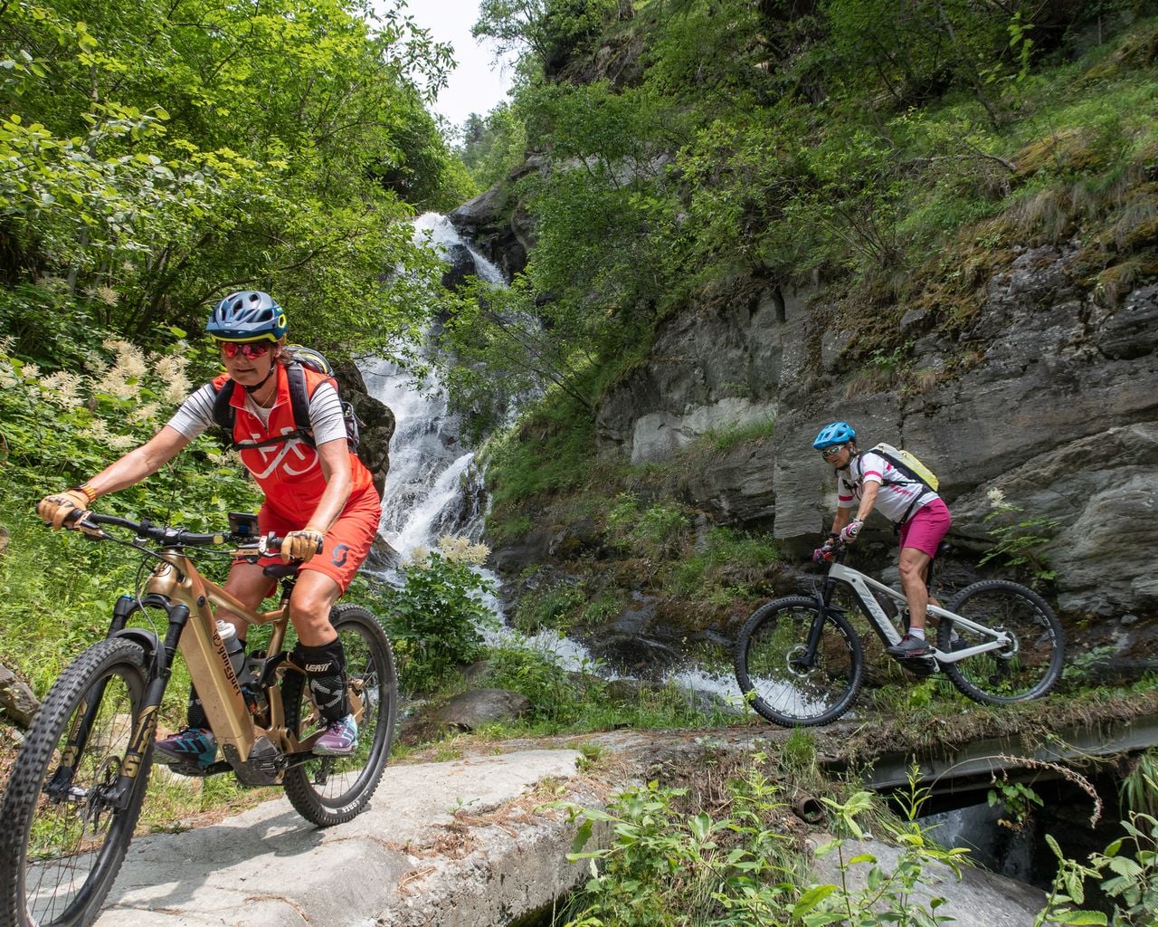
Saas-Balen–Stalden Bike
Rutas de bicicleta de montañaSaas-Balen → Stalden · 12 km8.8 km - Parapente biplaza Rosswald en Valais
 1/10
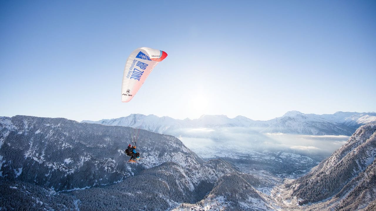
Parapente biplaza Rosswald en Valais
5,0(6)Brig39.8 kmpor persona
desde 170 €
- Parapente biplaza Belalp en Valais
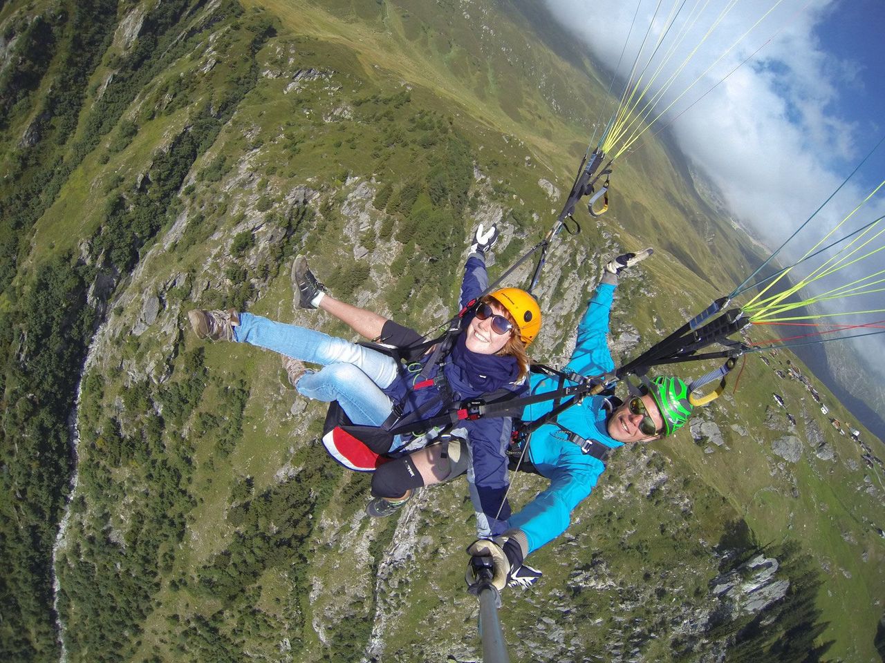 1/8
Parapente biplaza Belalp en Valais
5,0(2)Blatten bei Naters43.7 kmpor persona
desde 170 €
- Vuelo en parapente “El Espectacular” en Zermatt
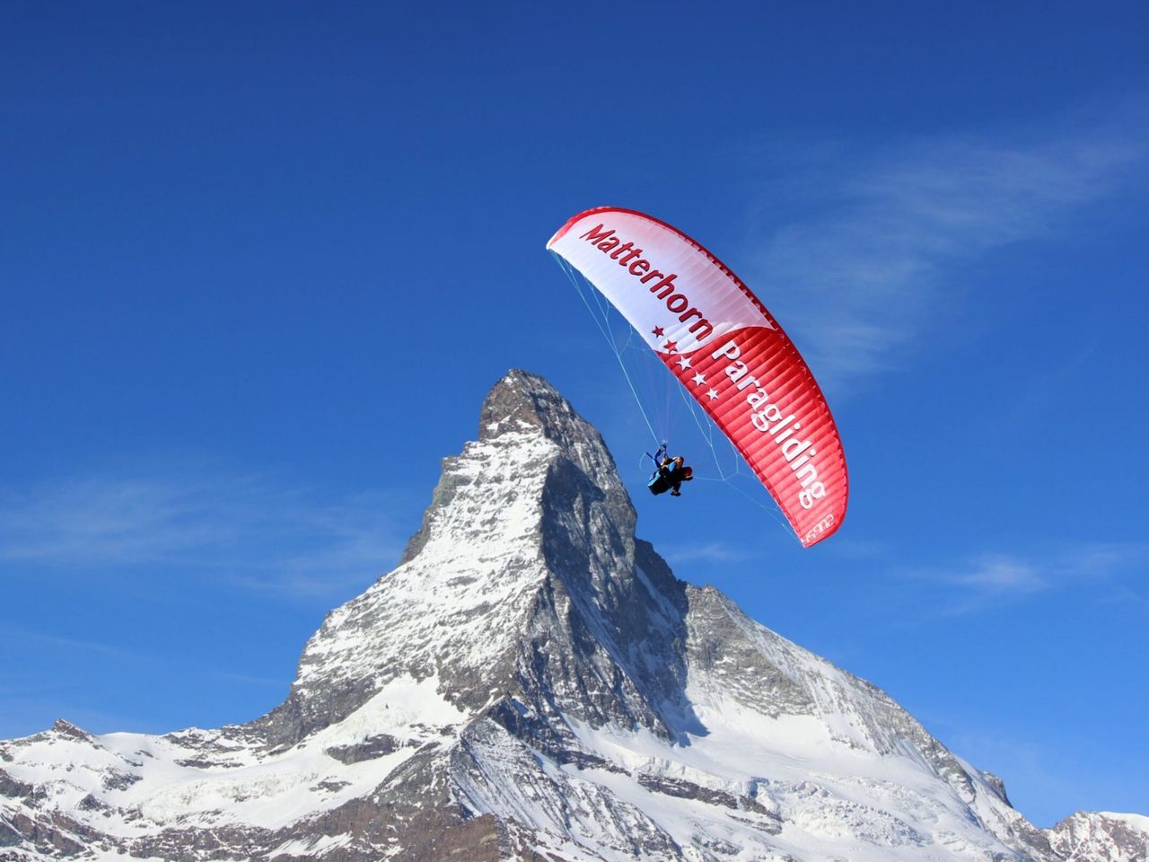 1/9
Vuelo en parapente “El Espectacular” en Zermatt
4,7(6)Zermatt46.5 kmpor persona
desde 272 €