


Snowshoe routes
Parcours d'Auta Chia
- Hard
- FR
- Distance
- 14 km
- Walking time
- 6 h 51 min
- Ascent
- 660 m
- Descent
- 660 m
- Highest point
- 1,477 m

Still have questions? Ask Alpi.
Alpi can help with routes, weather and everything worth knowing nearby.
Elevation profile
Point at a spot with your mouse
About this route
Während des Rundgangs gibt es verschiedene Chalets zu entdecken: Les Féguelenets, La Guisolanda oder La Grosse Raynauda. Bei Auta Chia wartet ein atemberaubendes Panorama über das Greyerzerland und die Freiburger Voralpen, bevor ein angenehmer Abstieg im Wald folgt.
Map
Getting there and tickets
- Public transport at startLa Valsainte, CouventBus · 2 min walk to the trail
- Public transport at finishLa Valsainte, CouventBus · 2 min walk to the trail
Sat, 21 Nov1 adult
Your hiking plan
from Zürich HB
The day
Pricing the ticket …
Zürich HB
La Valsainte, Couvent
End of the route
Zürich HB
Nearby in winter
- Parcours du Pré-de-l’Essert
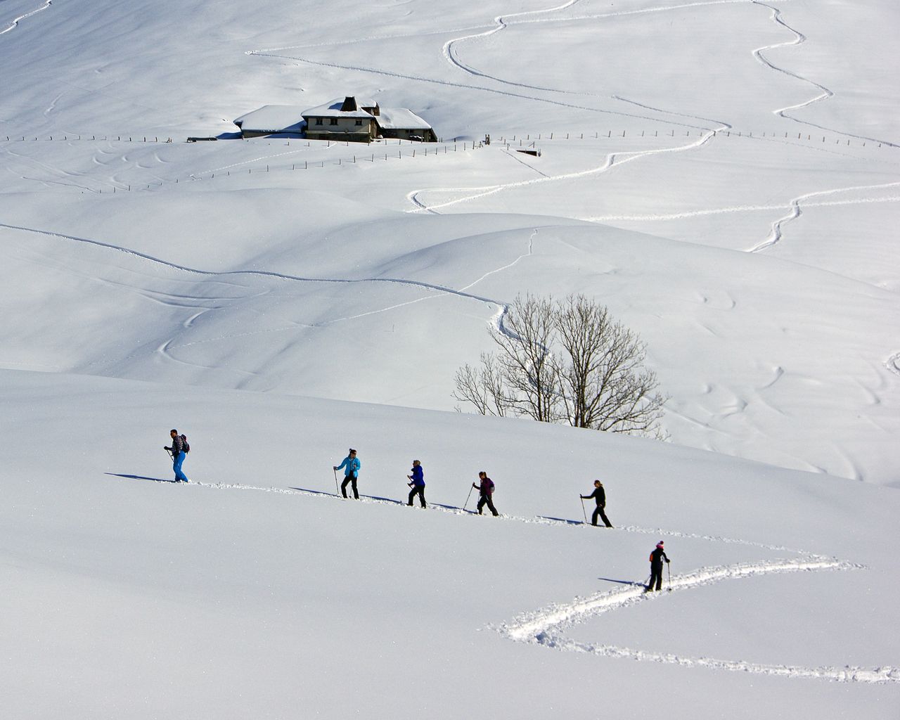

Parcours du Pré-de-l’Essert
Snowshoe routesLa Valsainte · 9.0 km · 4 h 19 min0 km - Parcours de la Monse
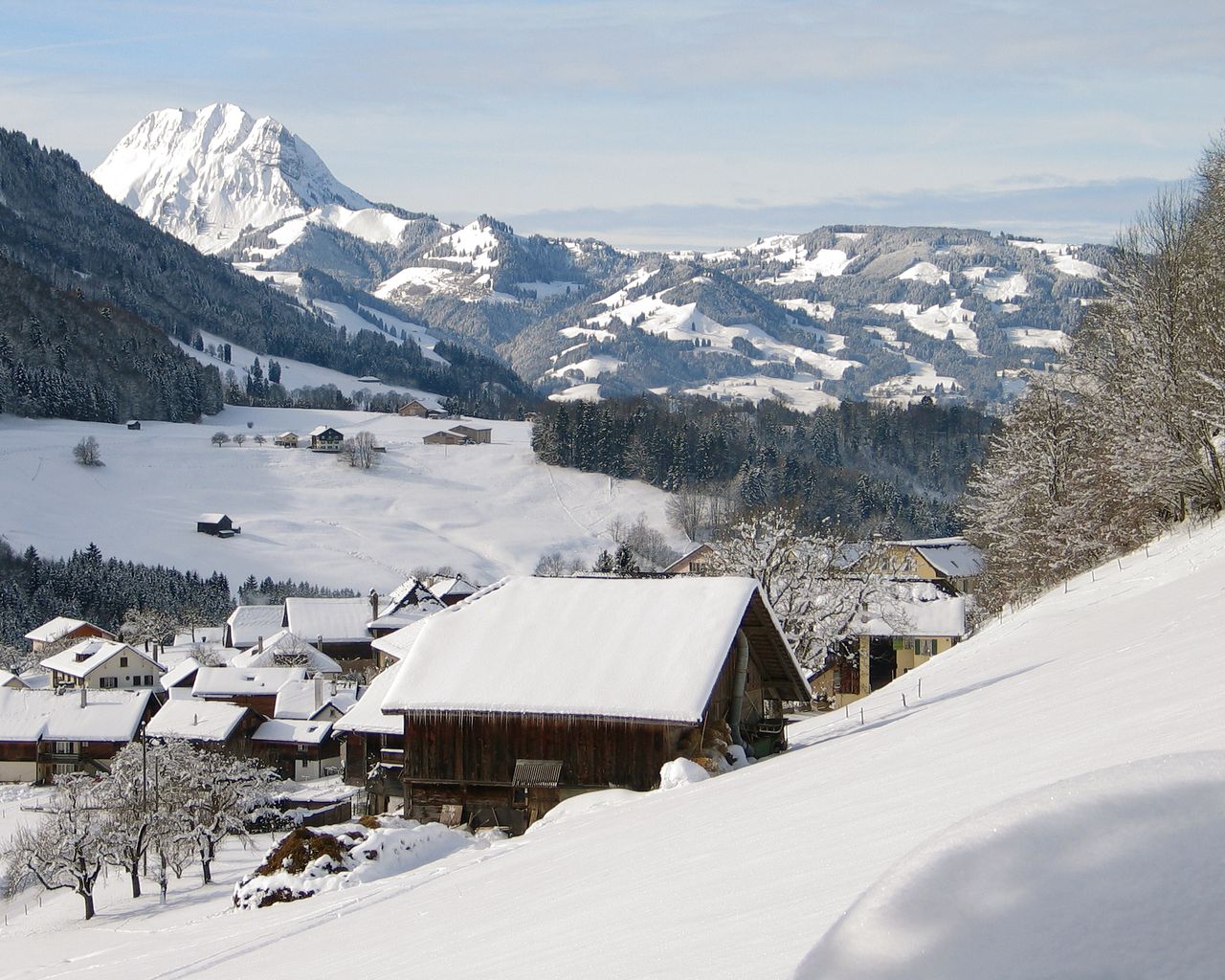

Parcours de la Monse
Snowshoe routesCharmey, Lodzetta · 3.0 km · 1 h 48 min6.3 km - Piste de la vallée de la Jogne
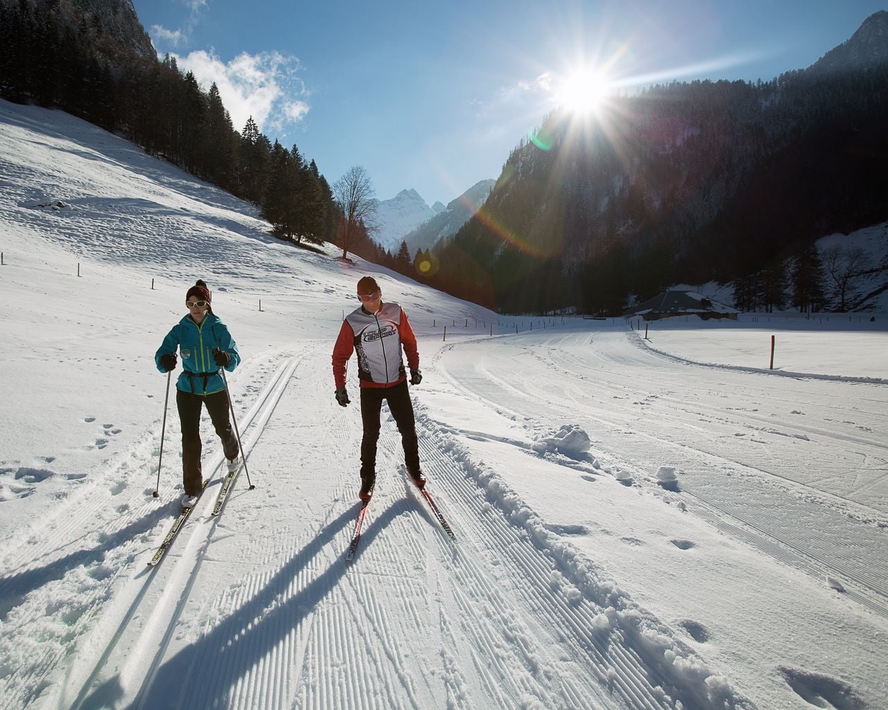

Piste de la vallée de la Jogne
Cross-Country SkiingCharmey → Jaun · 10 km7.1 km - Parcours de l’Intermédiaire
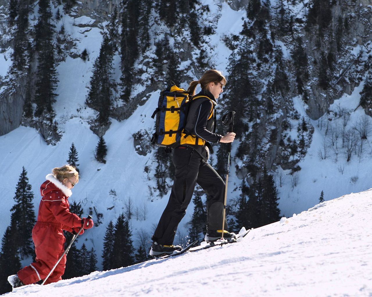

Parcours de l’Intermédiaire
Snowshoe routesTélécabine Charmey, station intermédiaire · 3.0 km · 2 h 9 min7.2 km - Ticket Maison Cailler Chocolate Factory
 1/8
Ticket Maison Cailler Chocolate Factory
4.6(182)Broc10.3 kmper person
from $39
- "Chocolate-making pleasure for everyone" Workshop Maison Cailler
 1/11
"Chocolate-making pleasure for everyone" Workshop Maison Cailler
5.0(8)Broc10.3 kmper person
from $102
- "My Christmas Chocolate Dream" Workshop Maison Cailler
 1/2
"My Christmas Chocolate Dream" Workshop Maison Cailler
Broc10.3 kmper person
from $102
- "Chocolate Champions" Workshop Maison Cailler
 1/6
"Chocolate Champions" Workshop Maison Cailler
5.0(3)Broc10.3 kmper person
from $68


