Snowshoe routes
Parcours Col des Etroits–La Vraconnaz
- Hard
- VD
- Distance
- 9 km
- Walking time
- 3 h 58 min
- Ascent
- 300 m
- Descent
- 300 m
- Highest point
- 1,186 m
Elevation profile
Point at a spot with your mouse
About this route
Von den alten Uhrmacherhäusern über die Weiten des Plateau des Granges bis zum geschützten Hochmoor Mouille de la Vraconnaz - diese Schneeschuhwanderung taucht ein in die typische Landschaft und Geschichte des Waadtländer Juras.
Map
Getting there and tickets
- Public transport at startSte-Croix, Col-des-EtroitsBus · 1 min walk to the trail
- Public transport at finishSte-Croix, Col-des-EtroitsBus · 1 min walk to the trail
Sat, 24 Oct1 adult
Your hiking plan
from Zürich HB
The day
Pricing the ticket …
Zürich HB
Ste-Croix, Col-des-Etroits
End of the route
Zürich HB
Popular activities
- Chemin des Gorges de Covatannaz
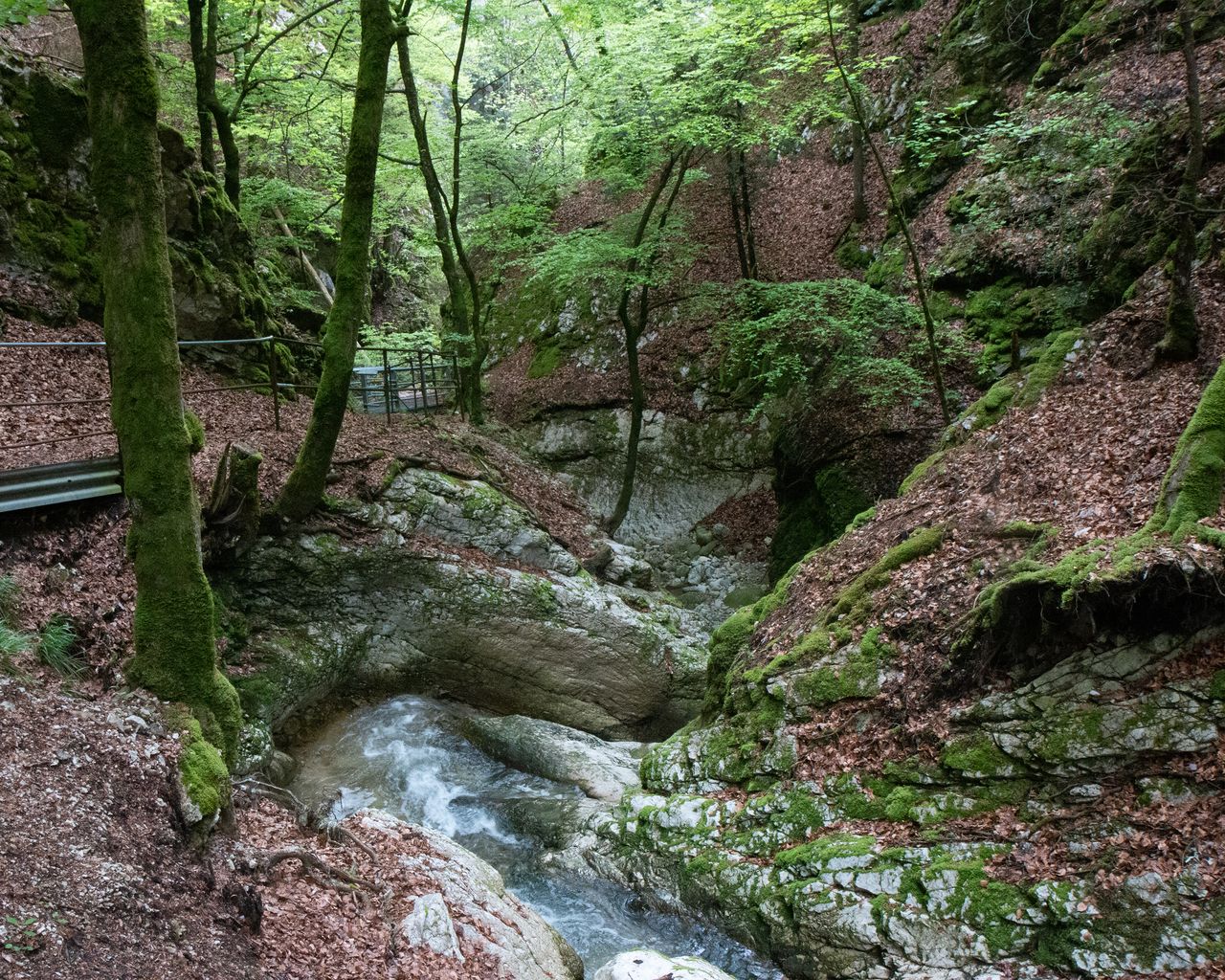
Chemin des Gorges de Covatannaz
WanderwegSte-Croix → Baulmes · 7.0 km · 2 h 21 min1.3 km - Jura Crest Trail, Stage 12/16

Jura Crest Trail, Stage 12/16
BergwanderwegSte-Croix → Ballaigues · 18 km · 7 h 9 min1.4 km - Lausanne Ouchy interactive scavenger hunt with smartphone
 1/7
Lausanne Ouchy interactive scavenger hunt with smartphone
4.0(1)Lausanneper person
from $23