Hiking Trail
Höhenweg Almagelleralp
- Mountain hiking trail
- Hard
- VS
- Distance
- 11 km
- Walking time
- 4 h 33 min
- Ascent
- 320 m
- Descent
- 1,050 m
- Highest point
- 2,521 m
Elevation profile
Point at a spot with your mouse
About this route
Vom idyllischen Kreuzbodensee und der farbigen Alpenblumenpromenade übers romantische Almagellertal zur Almagelleralp und über den abenteurlichen Erlebnisweg bis hin zu Furggstalden – der Höhenweg Almagelleralp ist an Vielfalt kaum zu übertreffen.
Map
Getting there and tickets
- Public transport at startKreuzbodenCable car · 1 min walk to the trail
- Public transport at finishSaas-Almagell, DorfplatzBus · 1 min walk to the trail
Sat, 24 Oct1 adult
Your hiking plan
from Zürich HB
The day
Pricing the ticket …
Zürich HB
Saas-Almagell, Dorfplatz
End of the route
Zürich HB
Popular activities
- Heimischgarte Trail
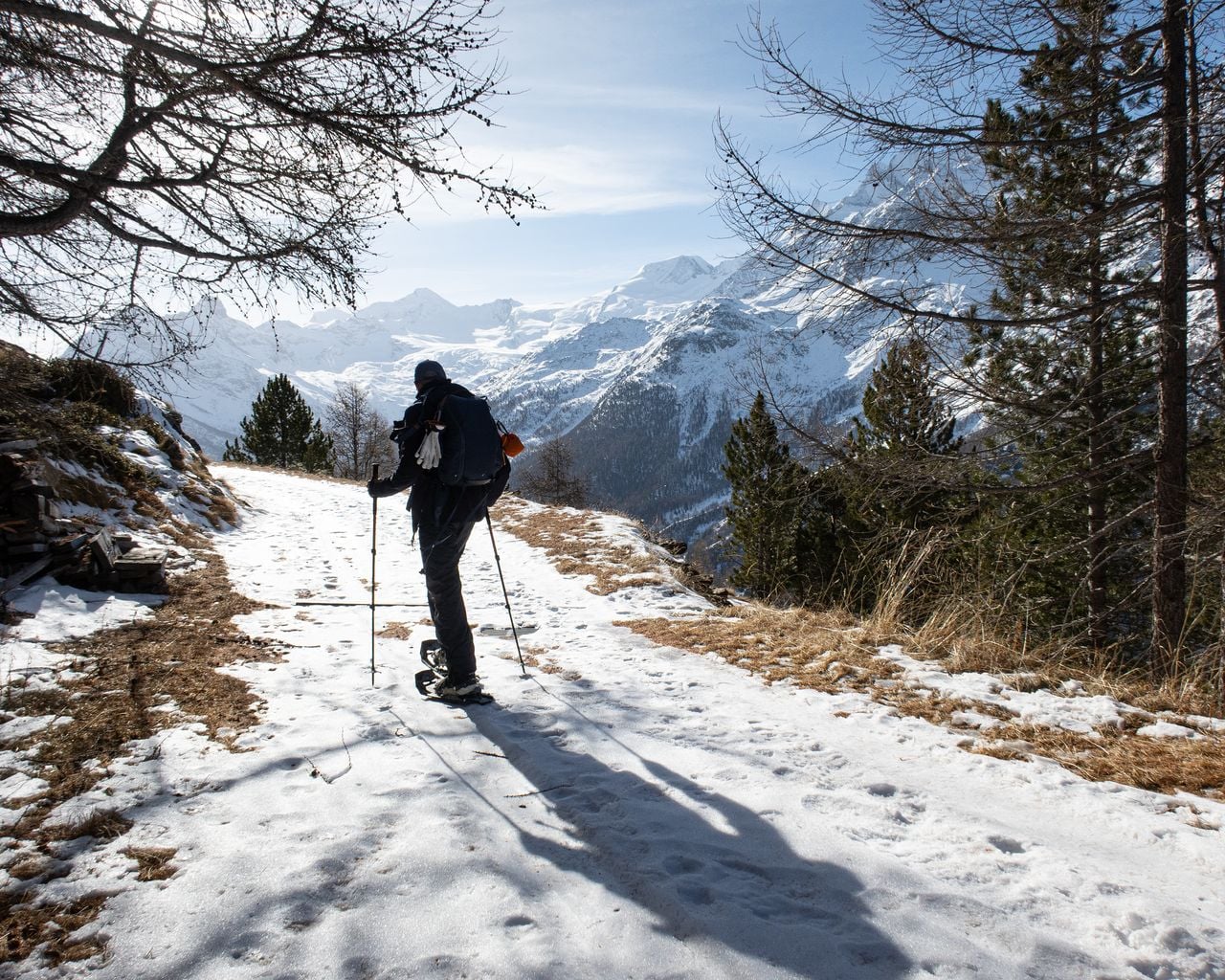
Heimischgarte Trail
Snowshoe routesSaas-Balen → Saas-Grund · 9.0 km · 5 h 36 min8.8 km - Saas-Balen–Stalden Bike
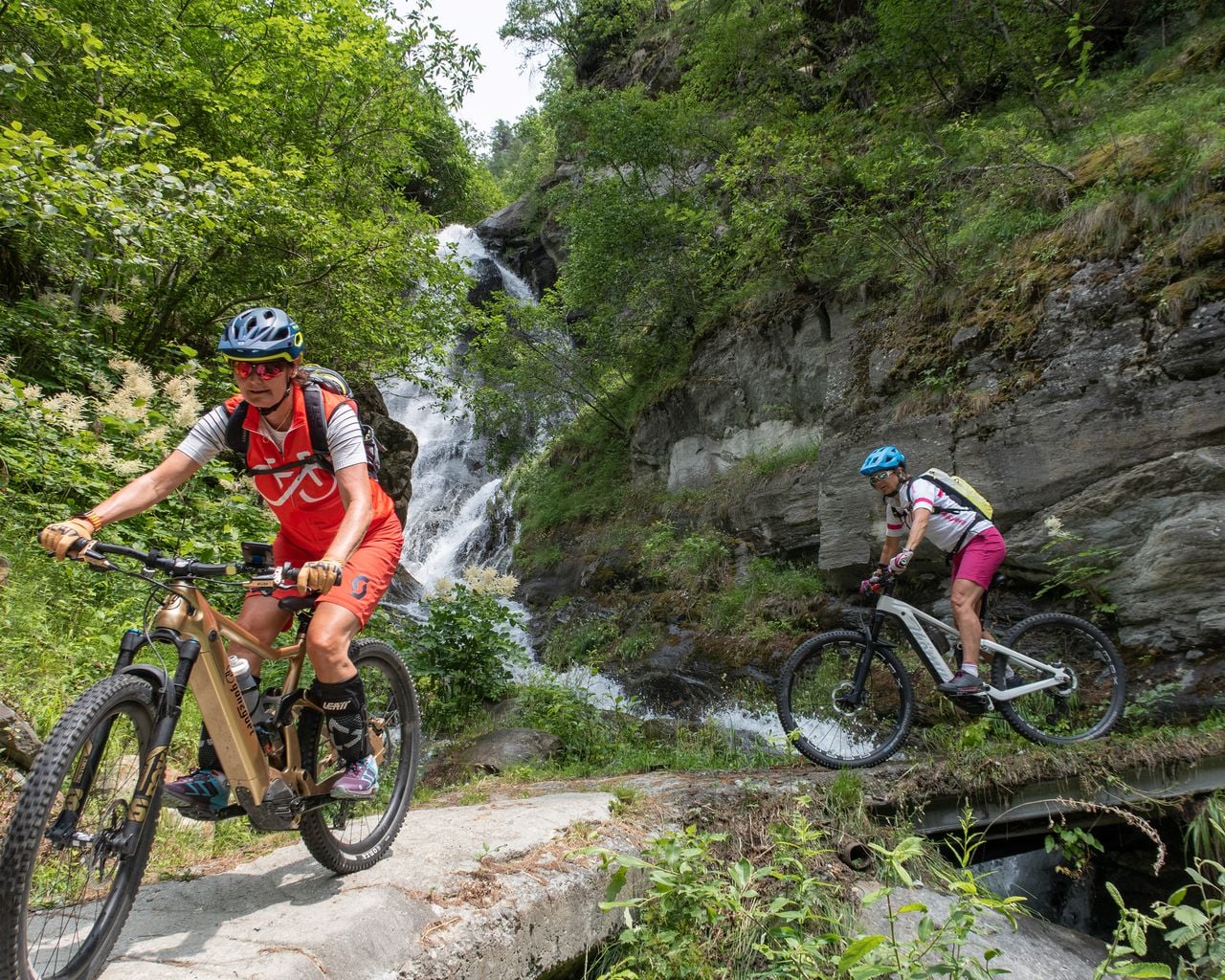
Saas-Balen–Stalden Bike
Mountain bike routesSaas-Balen → Stalden · 12 km8.8 km - Rosswald paragliding tandem in Valais
 1/10
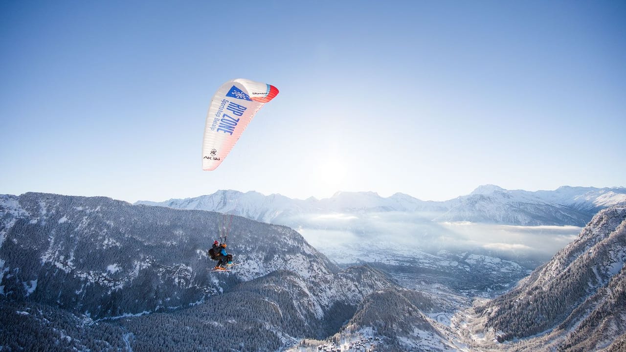
Rosswald paragliding tandem in Valais
5.0(6)Brig39.8 kmper person
from $335
- Belalp paragliding tandem in Valais
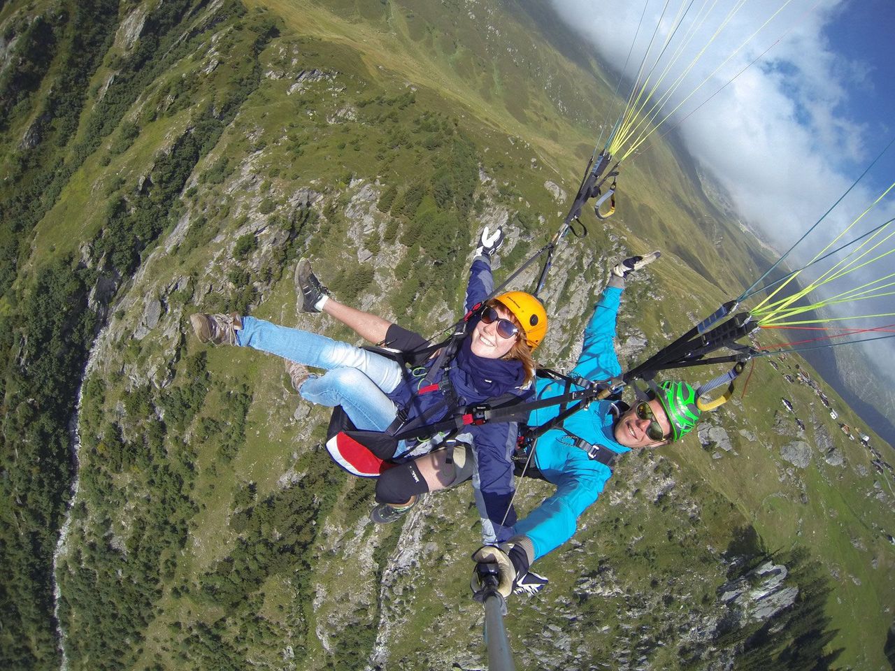 1/8
Belalp paragliding tandem in Valais
5.0(2)Blatten bei Naters43.7 kmper person
from $335
- Paragliding “The Spectacular” in Zermatt
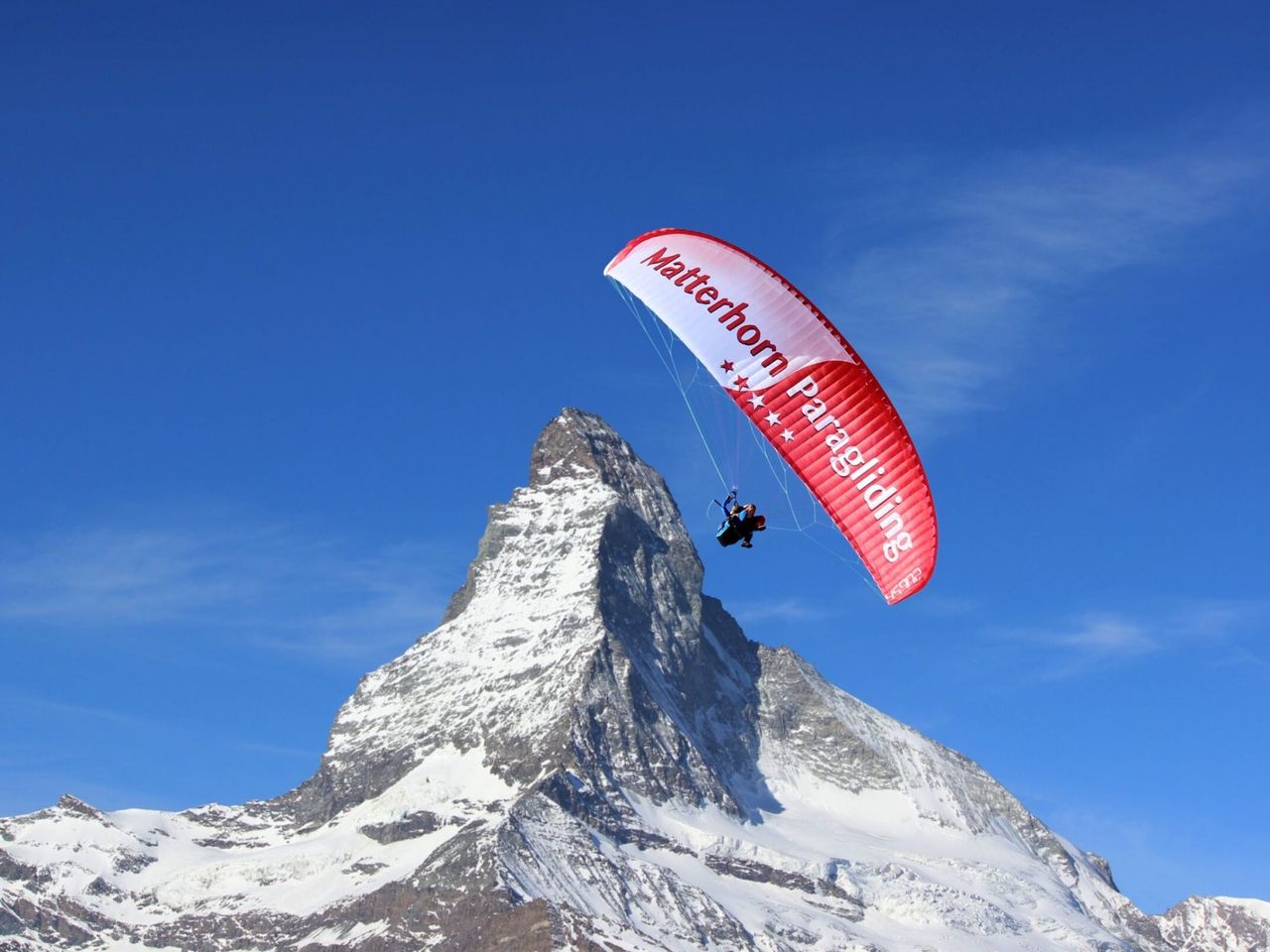 1/9
Paragliding “The Spectacular” in Zermatt
4.7(6)Zermatt46.5 kmper person
from $536