Hiking Trail
Chemin des pyramides de Gypse
- Mountain hiking trail
- Medium
- VD
- Distance
- 12 km
- Walking time
- 4 h 26 min
- Ascent
- 540 m
- Descent
- 540 m
- Highest point
- 1,932 m

Still have questions? Ask Alpi.
Alpi can help with routes, weather and everything worth knowing nearby.
Elevation profile
Point at a spot with your mouse
About this route
Spannende Wanderung ab Bretaye rund um den Bergrücken Chaux Ronde. Unterwegs: drei Bergseen, malerische Alpweiden, ein herrliches Panorama mit Blick auf das Mont-Blanc-Massiv – und die bekannten Gipspyramiden beim Col de la Croix.
Map
Getting there and tickets
- Public transport at startCol-de-BretayeTrain · 1 min walk to the trail
- Public transport at finishCol-de-BretayeTrain · 1 min walk to the trail
Sat, 31 Oct1 adult
Your hiking plan
from Zürich HB
The day
Pricing the ticket …
Zürich HB
Col-de-Bretaye
End of the route
Zürich HB
Popular activities
- Piste de luge Col de Soud–Villars
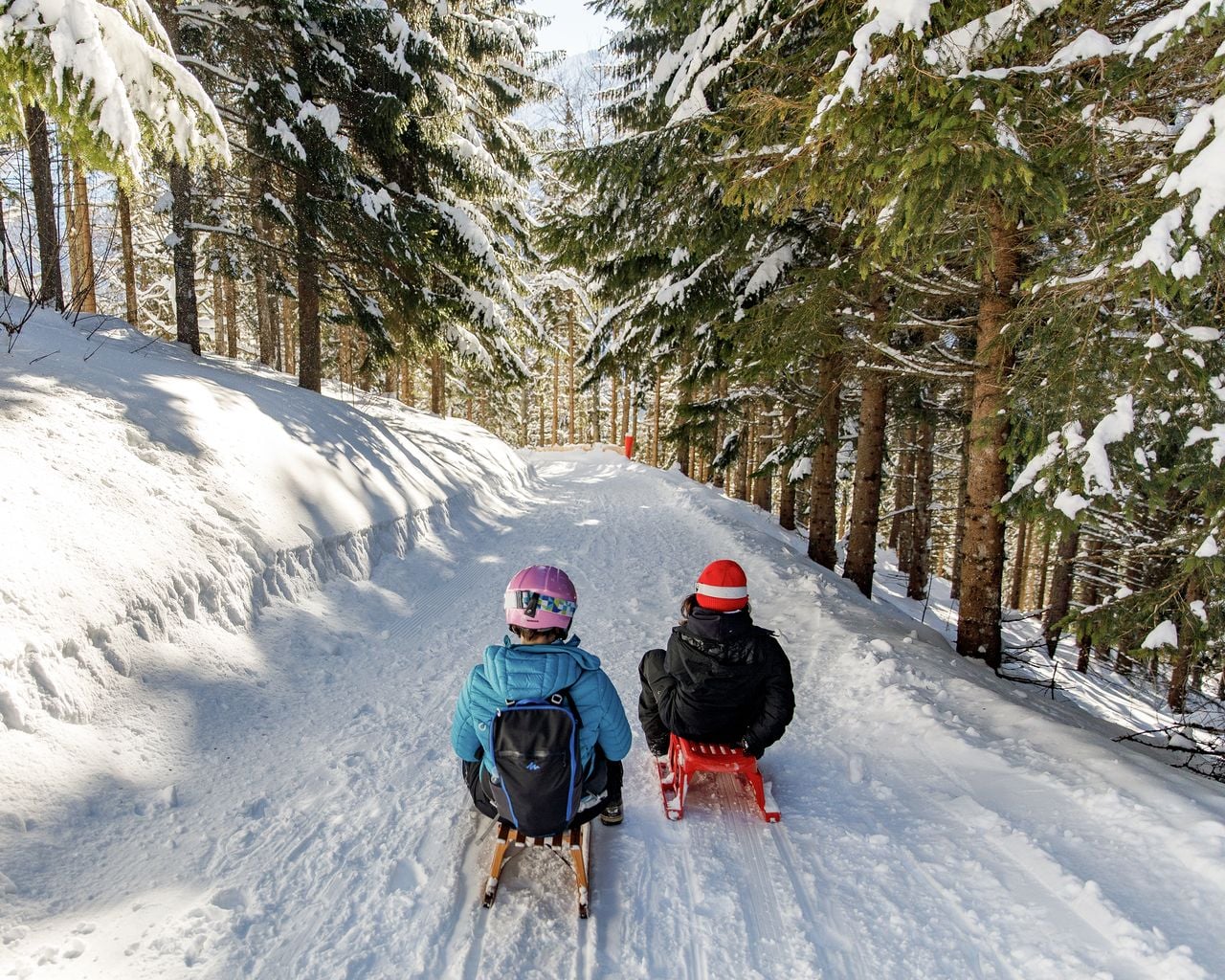
Piste de luge Col de Soud–Villars
Sledging routesVillars-sur-Ollon, Col de Soud → Villars-sur-Ollon, Roches Grises · 2.0 km2.6 km - Chemin Villars–Col de la Croix golf club
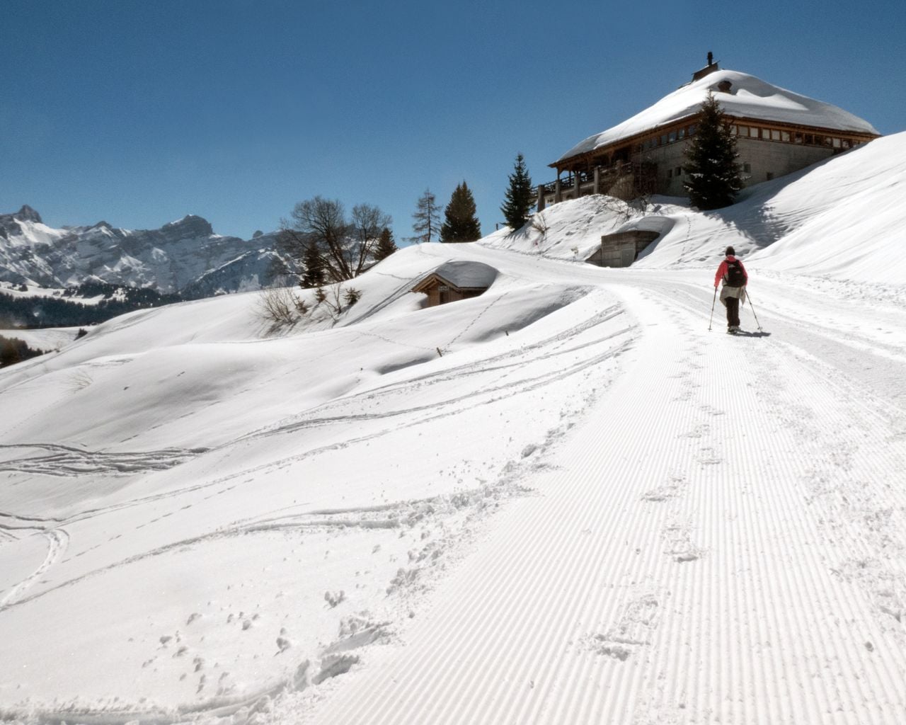
Chemin Villars–Col de la Croix golf club
Winter hiking routesVillars-sur-Ollon · 7.0 km · 2 h 21 min4.6 km - Piste Villars–Col de la Croix
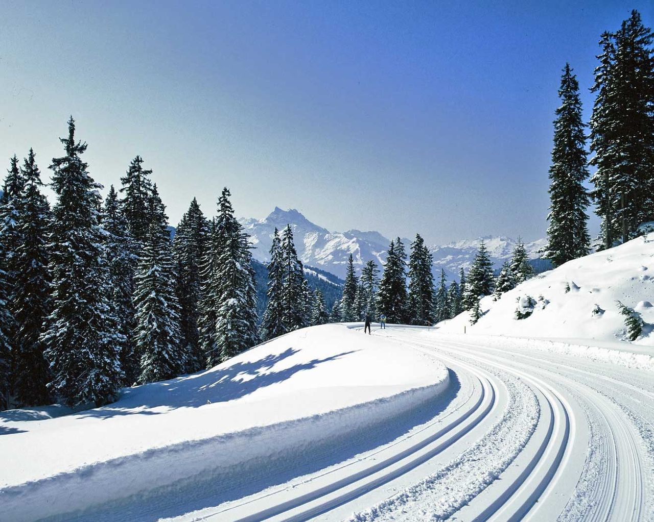
Piste Villars–Col de la Croix
Cross-Country SkiingVillars-sur-Ollon · 14 km4.7 km - Tour des Alpes Vaudoises, Stage 7/8
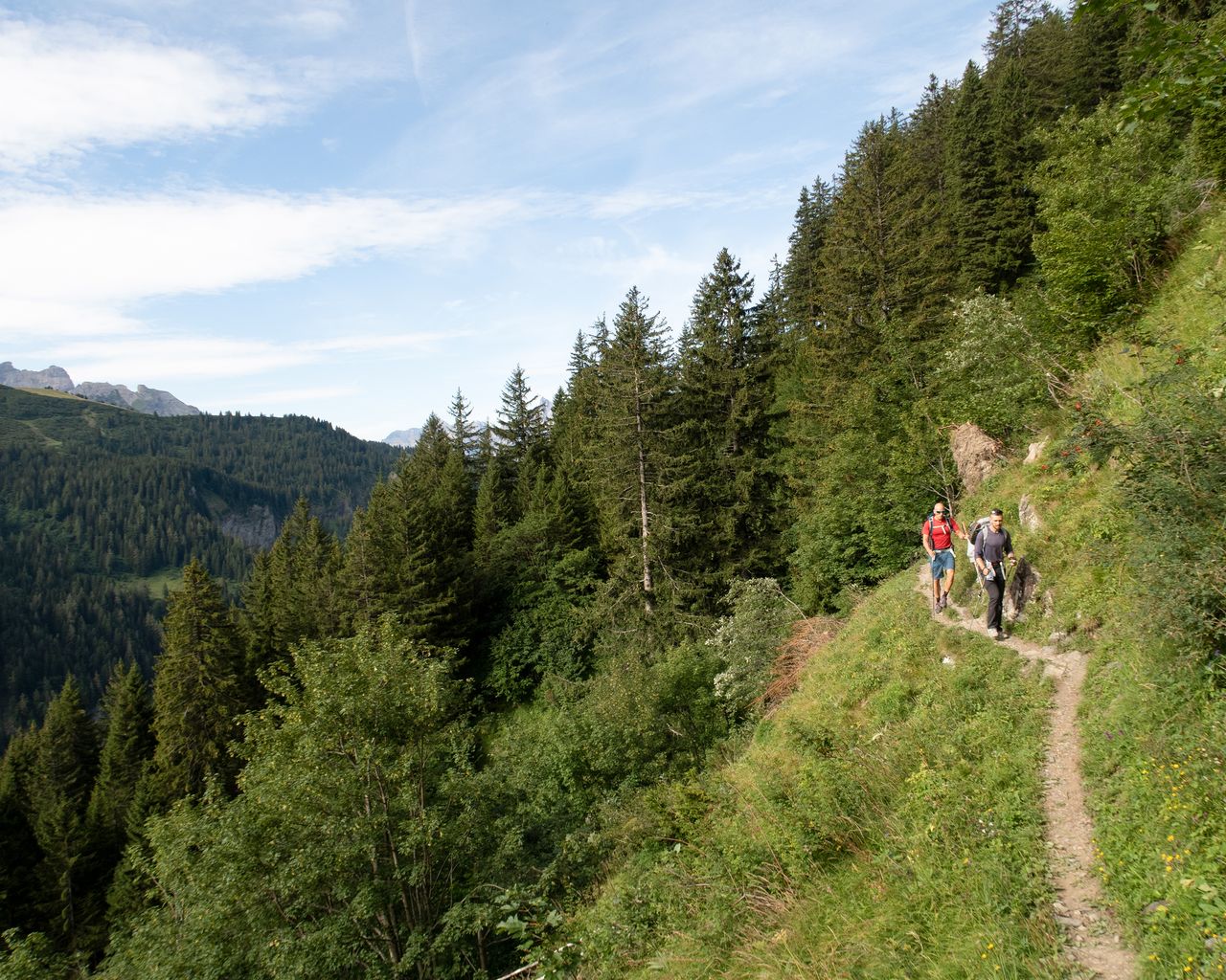
Tour des Alpes Vaudoises, Stage 7/8
BergwanderwegVillars-sur-Ollon → Gryon · 22 km · 8 h 17 min4.7 km - Descente en luge des Diablerets
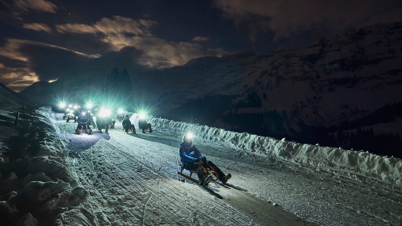
Descente en luge des Diablerets
Sledging routesLes Diablerets, télécabine Diablerets Express · 7.0 km7.2 km - Tour des Alpes Vaudoises, Stage 8/8
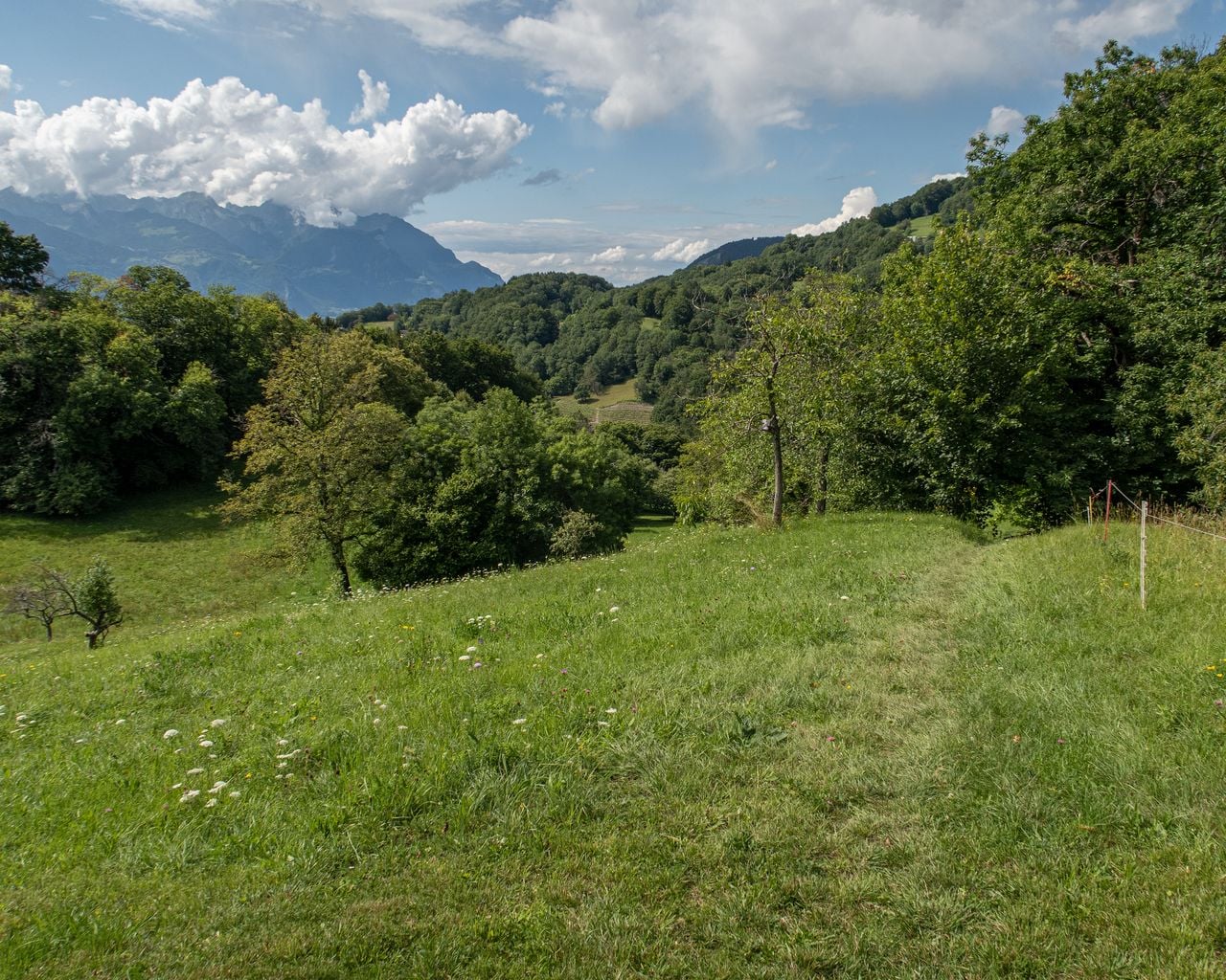
Tour des Alpes Vaudoises, Stage 8/8
WanderwegGryon → Aigle · 18 km · 6 h 47 min8.9 km - Tandem paragliding near Montreux
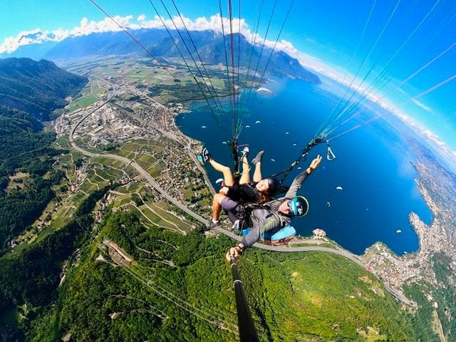 1/6
Tandem paragliding near Montreux
Villeneuve23 kmper person
from $428
- Ticket Chateau Chillon in Montreux
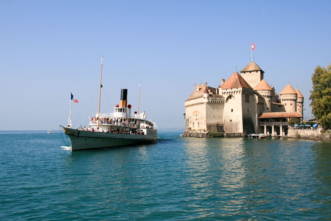 1/28
Ticket Chateau Chillon in Montreux
4.7(89)Veytaux25 kmper person
from $34
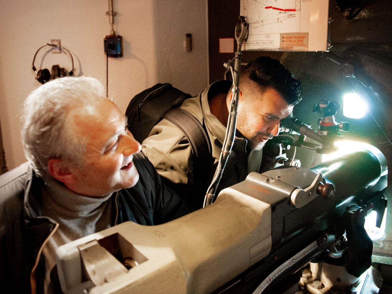
- Entrance Ticket Museum Fort de Chillon
 1/11
Entrance Ticket Museum Fort de Chillon
5.0(1)Montreux25.2 kmper person
from $57