Cycling routes
Bodensee-Radweg
- Easy
- Distance
- 265 km
- Ascent
- 1,400 m
- Descent
- 1,400 m
- Highest point
- 549 m

Still have questions? Ask Alpi.
Alpi can help with routes, weather and everything worth knowing nearby.
Elevation profile
Point at a spot with your mouse
About this route
Die Route umrundet den Bodensee - drittgrösster Binnensee Mitteleuropas und seit Urzeiten besiedelt - führt durch drei Länder, mal ufernah, mal durch Obsthaine, mal durch sonnenflirrende Wiesen, durch alte Stadtkerne, Naturschutzoasen und Blumeninseln.
Map
Getting there and tickets
- Public transport at startKonstanz, Konzilstr./TheaterBus · 2 min walk to the trail
- Public transport at finishKreuzlingen, KonstanzerstrasseBus · 1 min walk to the trail
Bookable along the way

Popular activities
- ViaJacobi, Stage 21/33
ViaJacobi, Stage 21/33
WanderwegKreuzlingen (Konstanz, D) → Märstetten · 15 km · 4 h 25 min0.4 km - ViaRhenana, Stage 1/10
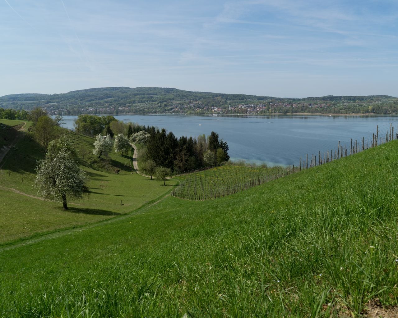
ViaRhenana, Stage 1/10
WanderwegKreuzlingen → Steckborn · 19 km · 5 h 39 min1.5 km - Golf Introductory Course in Lipperswil
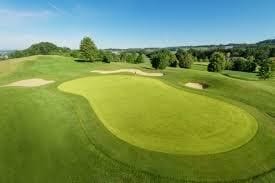
Golf Introductory Course in Lipperswil
Kreuzlingen14.4 kmfrom $292
- "Find-the-Code: Thurgau Legends" Outdoor Escape Game Frauenfeld
 1/7
"Find-the-Code: Thurgau Legends" Outdoor Escape Game Frauenfeld
3.0(1)Frauenfeld37.5 kmper person
from $18