


Snowshoe routes
Parcours Col du Mollendruz–Châtel
- Medium
- VD
- Distance
- 8 km
- Walking time
- 3 h 56 min
- Ascent
- 380 m
- Descent
- 380 m
- Highest point
- 1,431 m

Still have questions? Ask Alpi.
Alpi can help with routes, weather and everything worth knowing nearby.
Elevation profile
Point at a spot with your mouse
About this route
Auf dem Gipfel des Col du Mollendruz bietet diese Route mit Ausgangspunkt Sportgeschäft Nordic Sport Gelegenheit, einen der schönsten Aussichtspunkte des Waadtländer Jura zu entdecken: Croix de Châtel auf 1’432 Metern Höhe.
Map
Getting there and tickets
- Public transport at startMollendruz, colBus · 2 min walk to the trail
- Public transport at finishMollendruz, colBus · 2 min walk to the trail
Sun, Nov 11 adult
Your hiking plan
from Zürich HB
The day
Pricing the ticket …
Zürich HB
Mollendruz, col
End of the route
Zürich HB
Nearby in winter
- Parcours Col du Mollendruz–La Bréguettaz
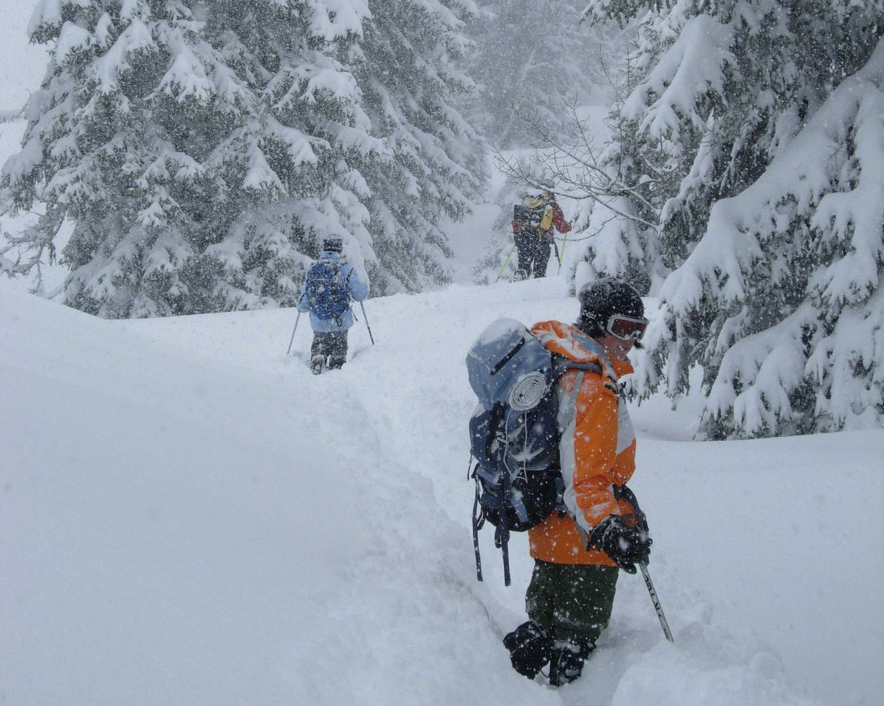
Parcours Col du Mollendruz–La Bréguettaz
Snowshoe routesCol du Mollendruz · 4.0 km · 1 h 47 min0 km - Exposition « Manuscrit trouvé à Saragosse, enquête sur un roman-monde »
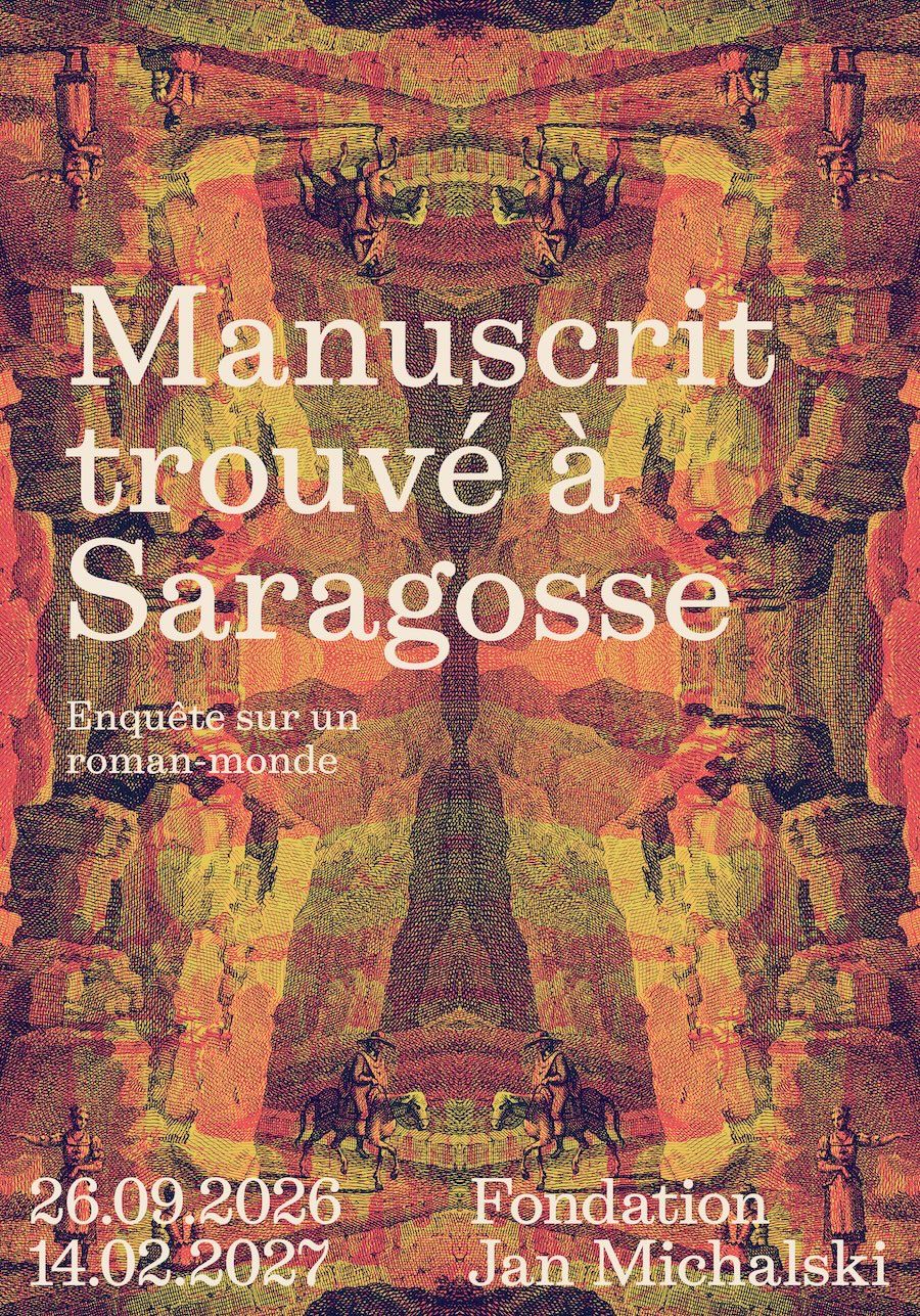
Exposition « Manuscrit trouvé à Saragosse, enquête sur un roman-monde »
ExhibitionFondation Jan MichalskiCHF 8 : plein tarif · CHF 5 : retraité·es, chômeur·euses, AI, groupes dès dix personnes de plus de 25 ans · Gratuit : moins de 25 ans, habitant·es de Montricher, membres de la bibliothèque, Passeports Musées Suisses et chaque premier dimanche du mois7.5 km - Piste Marchairuz–Mollendruz
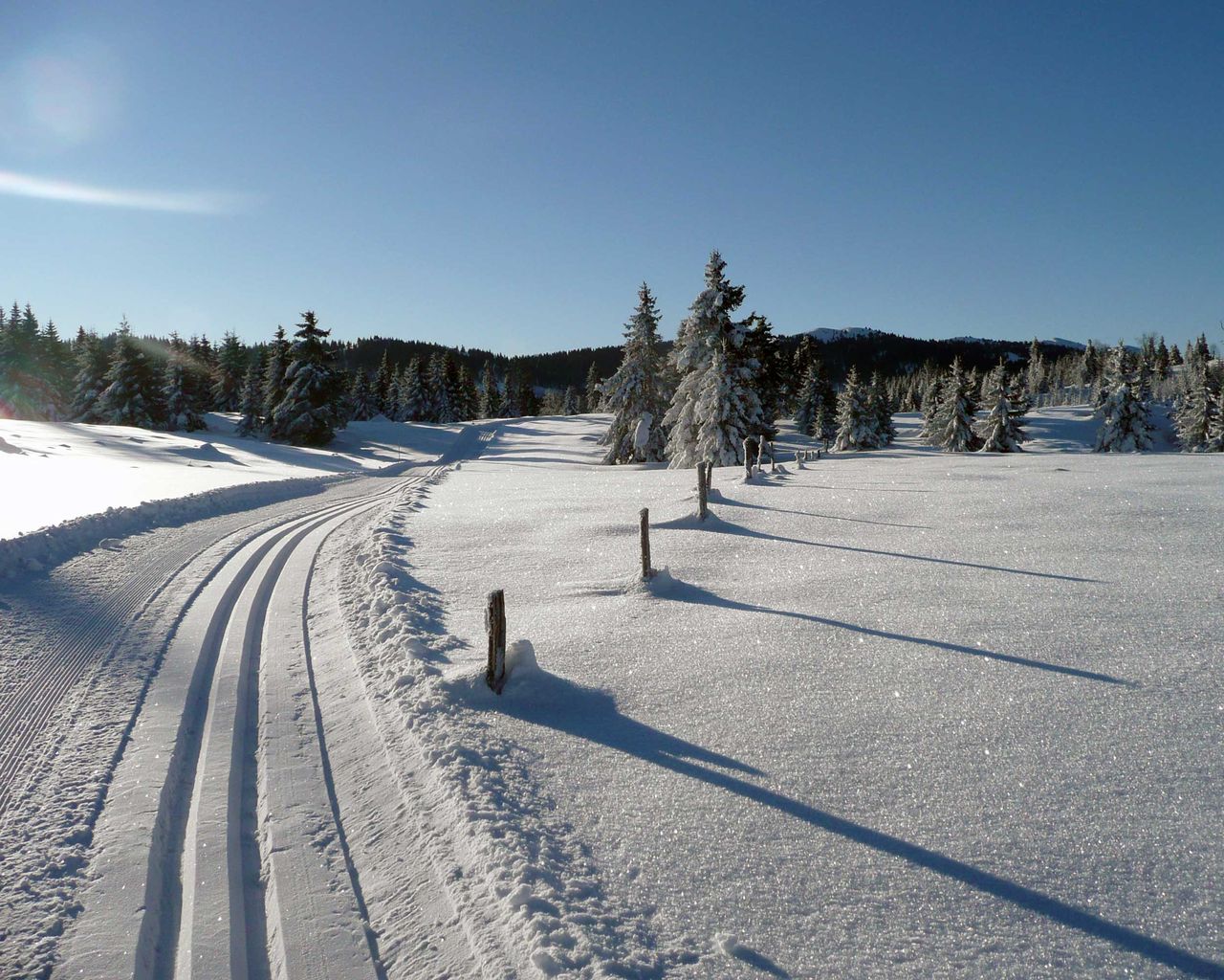
Piste Marchairuz–Mollendruz
Cross-Country SkiingCol du Marchairuz → Col du Mollendruz · 15 km24.2 km - Piste de luge du Marchairuz
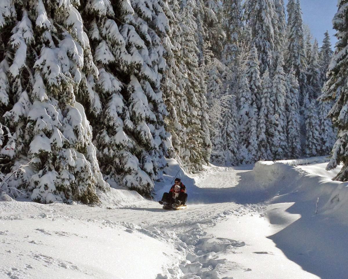
Piste de luge du Marchairuz
Sledging routesCol du Marchairuz → Le Brassus, Fontaine Froide · 1.0 km25.8 km - Ticket Olympic Museum Lausanne
 1/18
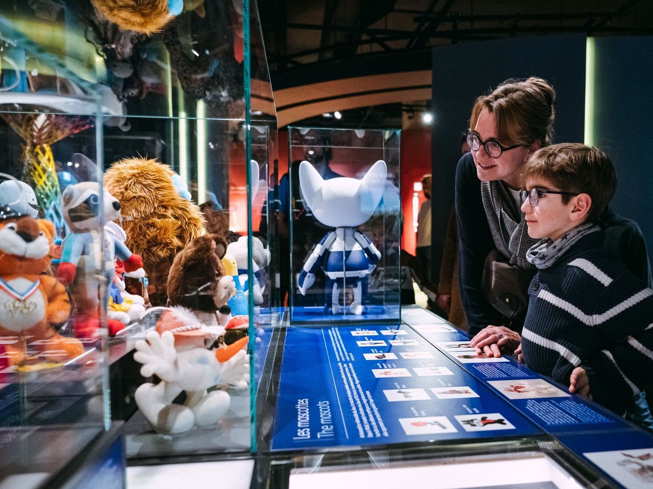
Ticket Olympic Museum Lausanne
5.0(2)Lausanne33.7 kmper person
from $36
- Lausanne Ouchy interactive scavenger hunt with smartphone
 1/7
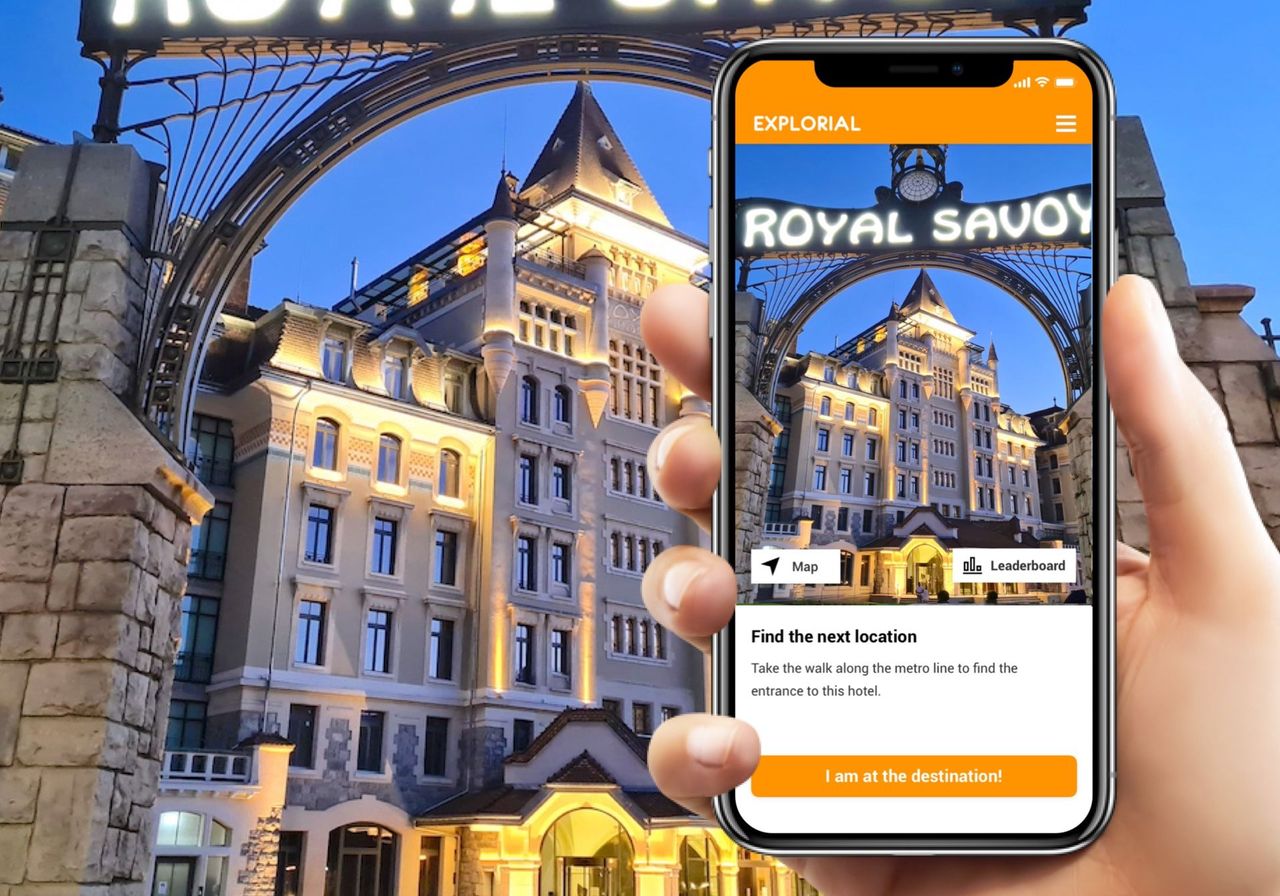
Lausanne Ouchy interactive scavenger hunt with smartphone
4.0(1)Lausanne34.4 kmper person
from $18
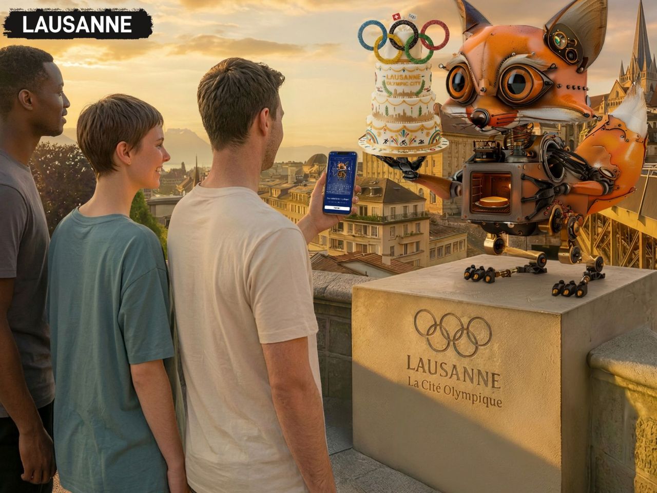
- Foxtrail GO Lausanne digital scavenger hunt
 1/6
Foxtrail GO Lausanne digital scavenger hunt
Lausanne35.8 kmper person
from $34


