Hiking Trail
ViaUrschweiz
- Mountain hiking trail
- Hard
- UR
- Distance
- 20 km
- Walking time
- 10 h 34 min
- Ascent
- 1,950 m
- Descent
- 780 m
- Highest point
- 2,103 m

Still have questions? Ask Alpi.
Alpi can help with routes, weather and everything worth knowing nearby.
Elevation profile
Point at a spot with your mouse
About this route
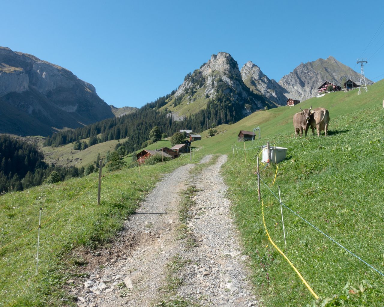
Traditionelles Handwerk, die ausgezeichnete Wildheuerlandschaft im Isenthal, eine prächtige Aussicht ins Mittelland: Das alles bietet der Wanderweg, der entlang historisch wertvoller Landschaften und Verkehrswege die Kantone Uri und Nidwalden verbindet.
Map
Getting there and tickets
- Public transport at startIsleten, SchiffsstationBus · 1 min walk to the trail
- Public transport at finishKlewenalpCable car · 2 min walk to the trail
Bookable along the way

Sat, Oct 311 adult
Your hiking plan
from Zürich HB
The day
Pricing the ticket …
Zürich HB
Klewenalp
End of the route
Zürich HB
Popular activities
- ViaUrschweiz, Stage 1/2
ViaUrschweiz, Stage 1/2
BergwanderwegIsleten → Gitschenen · 12 km · 5 h 59 min0 km - Weg der Schweiz, Stage 2/4
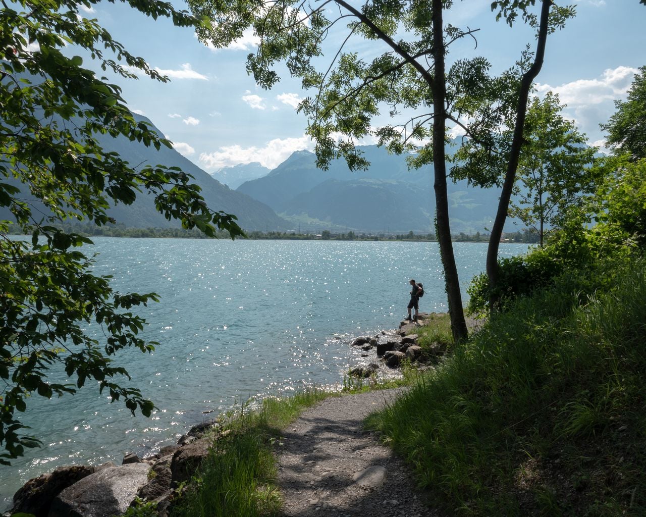

Weg der Schweiz, Stage 2/4
BergwanderwegBauen → Flüelen · 10 km · 2 h 43 min2.2 km - Alpine Panorama Route, Stage 4/9
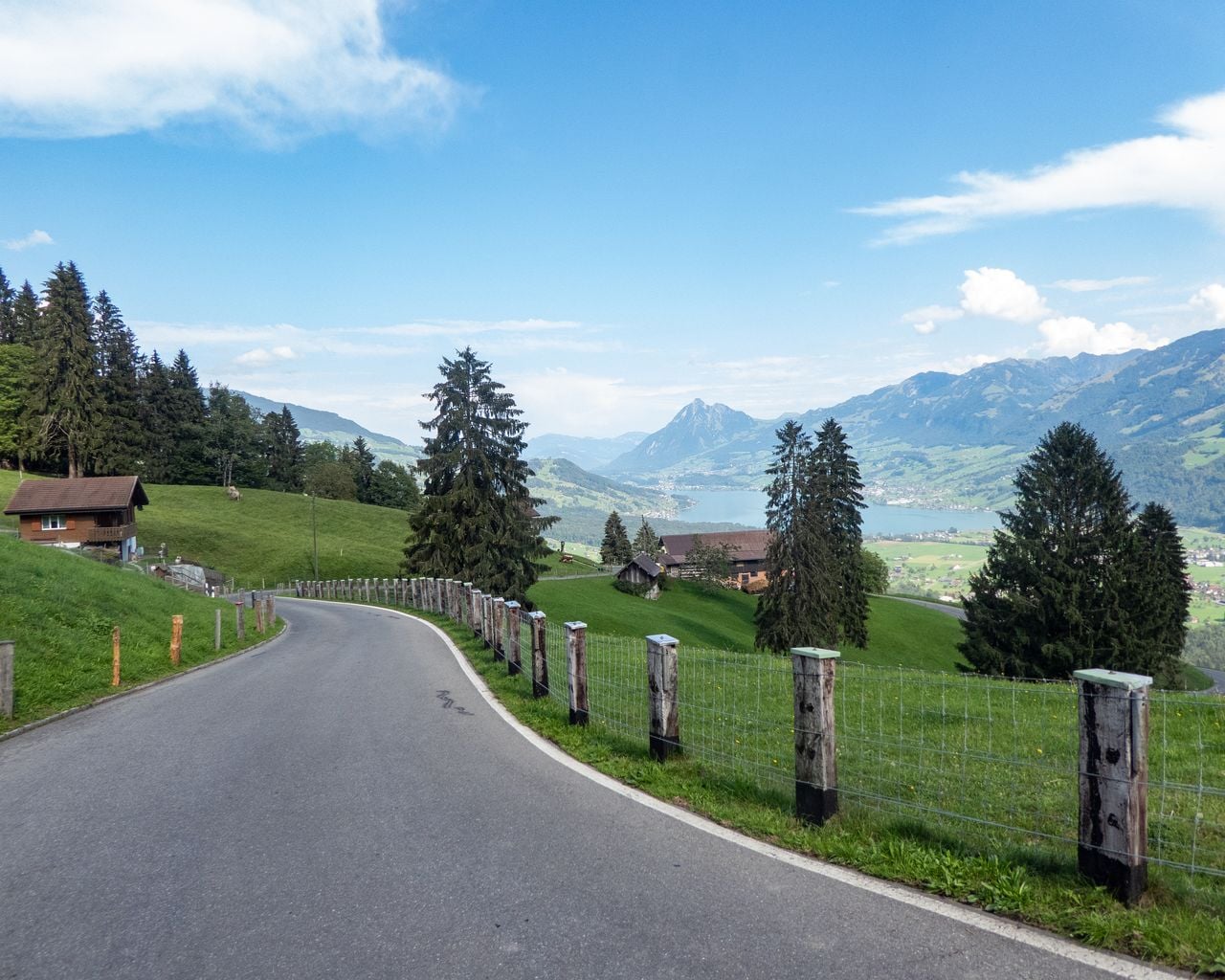
Alpine Panorama Route, Stage 4/9
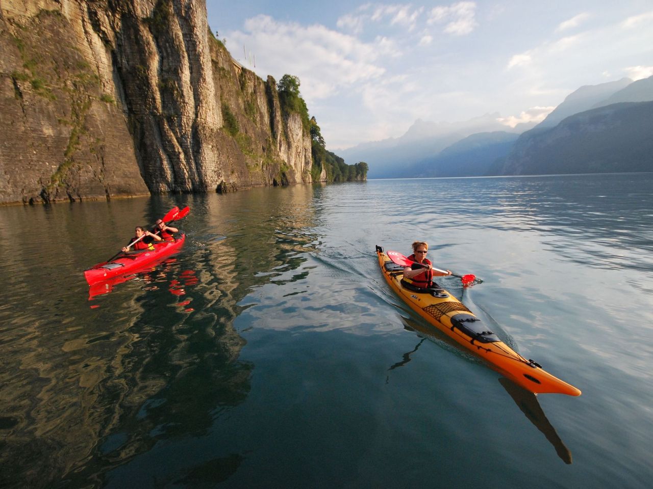
Cycling routesFlüelen → Sörenberg · 77 km3.3 km - Kayak or Canoe Rental at Lake Lucerne from Brunnen
 1/7
Kayak or Canoe Rental at Lake Lucerne from Brunnen
Brunnen-Ingenbohl9.9 kmper person
from $118
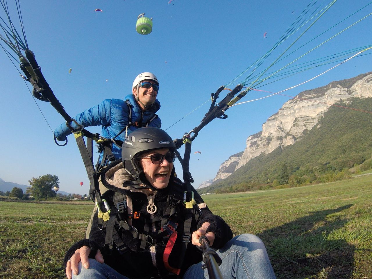
- "Panorama flight" paragliding Lake Lucerne from Emmetten
 1/8
"Panorama flight" paragliding Lake Lucerne from Emmetten
5.0(2)Emmetten25.2 kmper person
from $356
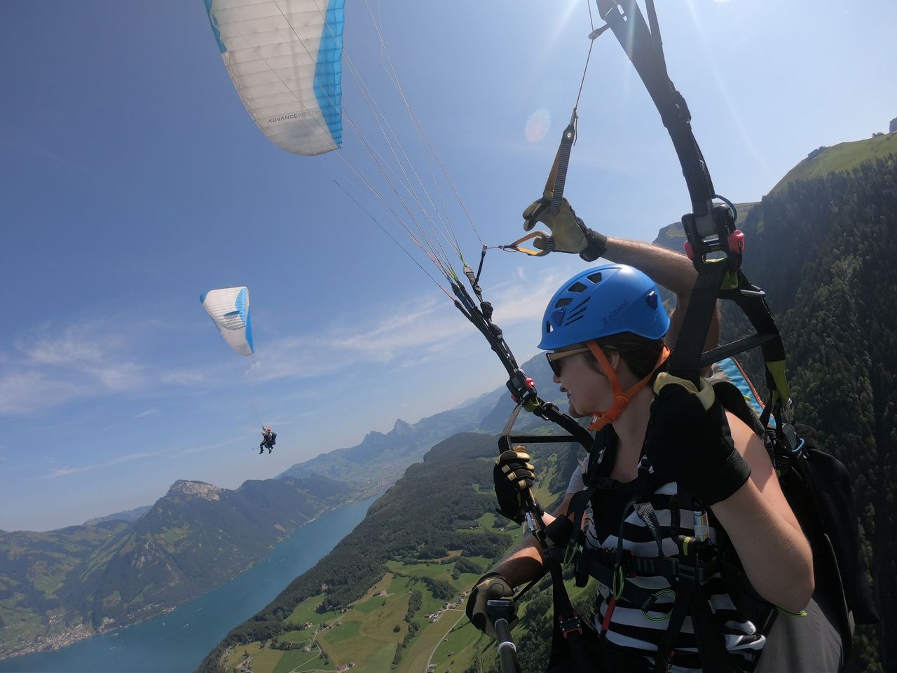
- Niederbauen Paragliding Tandem at Lake Lucerne
 1/6
Niederbauen Paragliding Tandem at Lake Lucerne
4.8(10)Emmetten25.2 kmper person
from $356