Hiking Trail
Via Alpina, Stage 19/20
- Mountain hiking trail
- Hard
- VD
- Distance
- 18 km
- Walking time
- 9 h 59 min
- Ascent
- 1,850 m
- Descent
- 780 m
- Highest point
- 1,986 m

Still have questions? Ask Alpi.
Alpi can help with routes, weather and everything worth knowing nearby.
Elevation profile
Point at a spot with your mouse
About this route
Von Rossinière über eine Brücke aus dem Jahr 1650 bis zum Col de Sonlomont. Nach der Abfahrt ins Hongrintal Anstieg zum Col de Chaude mit seiner fantastischen Aussicht auf den Genfersee. Es geht weiter bergauf bis zur Haltestelle der Zahnradbahn Rochers de Naye.
Map
Getting there and tickets
- Public transport at startRossinièreTrain · 1 min walk to the trail
- Public transport at finishRochers-de-NayeCogwheel railway · 1 min walk to the trail
Bookable along the way

Sun, Oct 251 adult
Your hiking plan
from Zürich HB
The day
Pricing the ticket …
Zürich HB
Rochers-de-Naye
End of the route
Zürich HB
Popular activities
- Le Grand Tour des Vanils
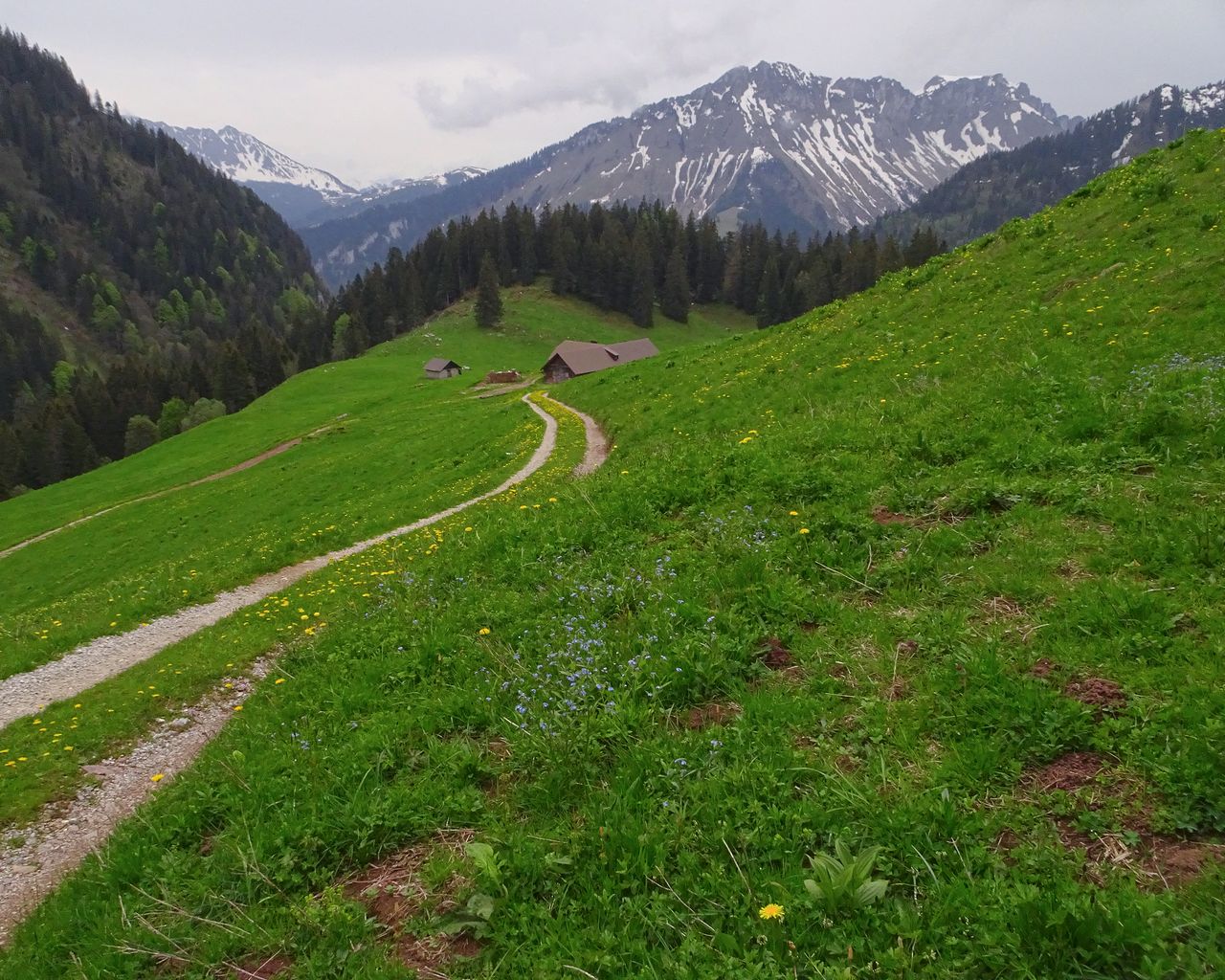
Le Grand Tour des Vanils
BergwanderwegRossinière → Allières · 13 km · 5 h 46 min0 km - Parcours Les Moulins–Les Monts-Chevreuils
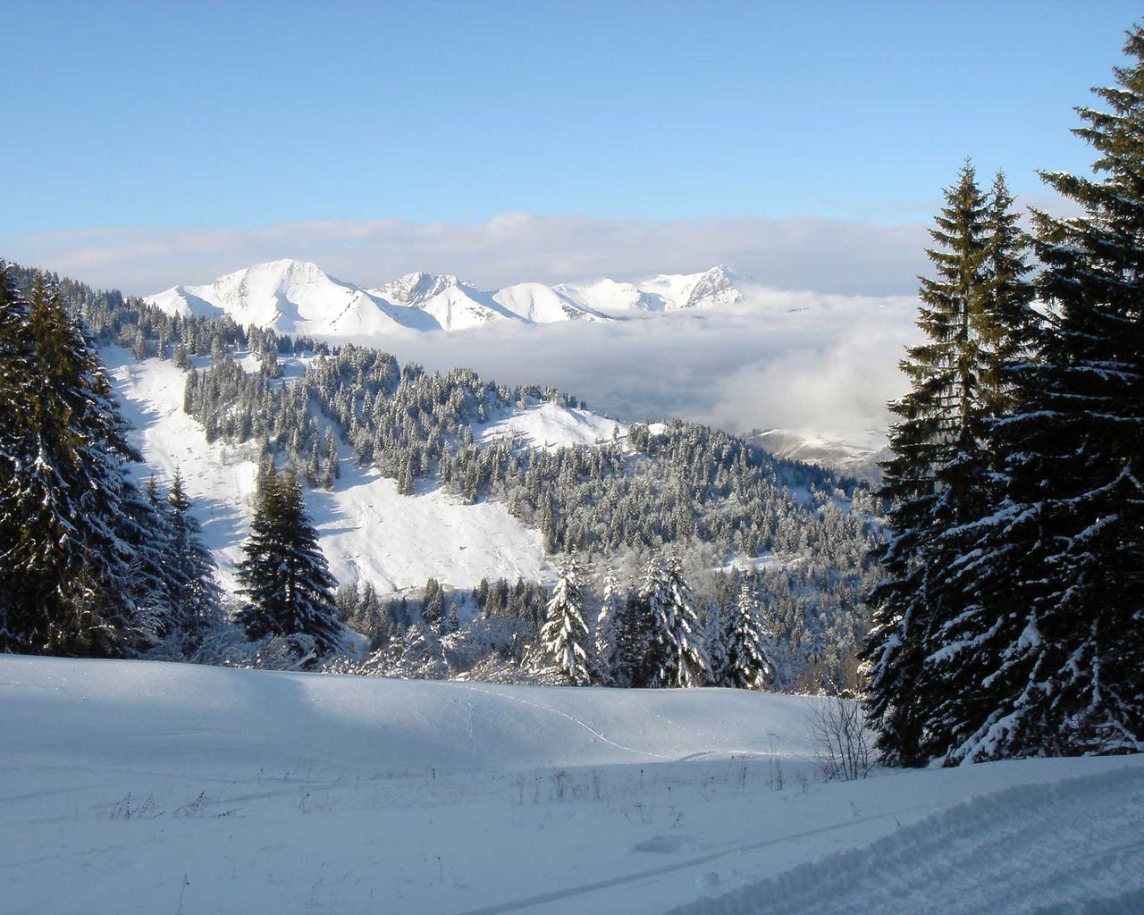

Parcours Les Moulins–Les Monts-Chevreuils
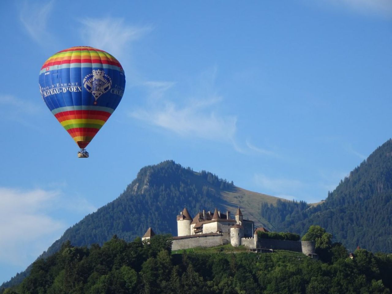
Snowshoe routesLes Moulins · 6.0 km · 6 h 15 min2.8 km - Hot Air Balloon Flight from Château-d'Oex
 1/10
Hot Air Balloon Flight from Château-d'Oex
Château-d'Oex4.7 kmper person
from $698
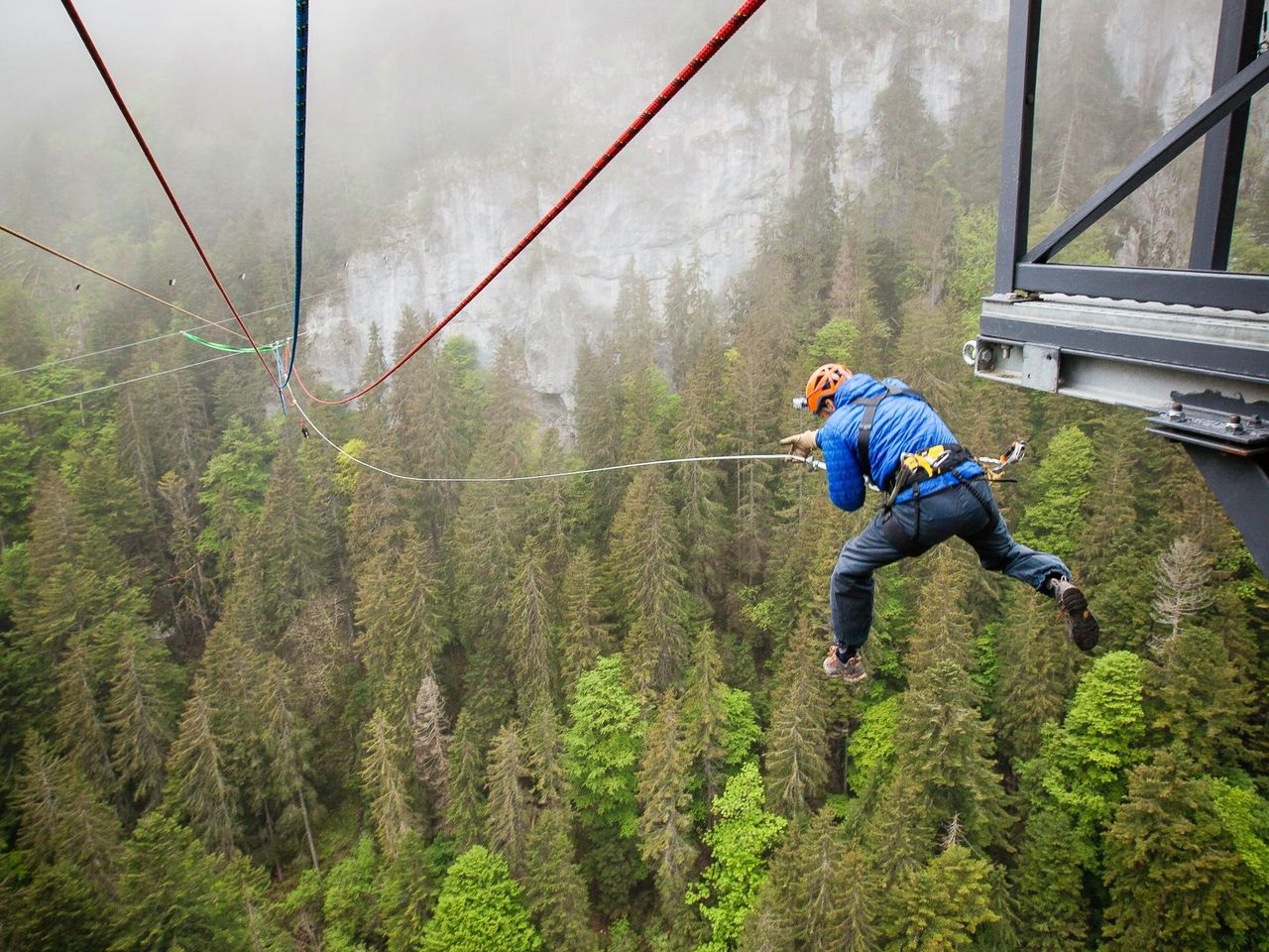
- Canyon Swing over the Pissot Gorge in Château-d'Oex
 1/7
Canyon Swing over the Pissot Gorge in Château-d'Oex
5.0(3)Château-d'Oex4.8 kmper person
from $188
- Alpine Bike, Stage 16/16
Alpine Bike, Stage 16/16
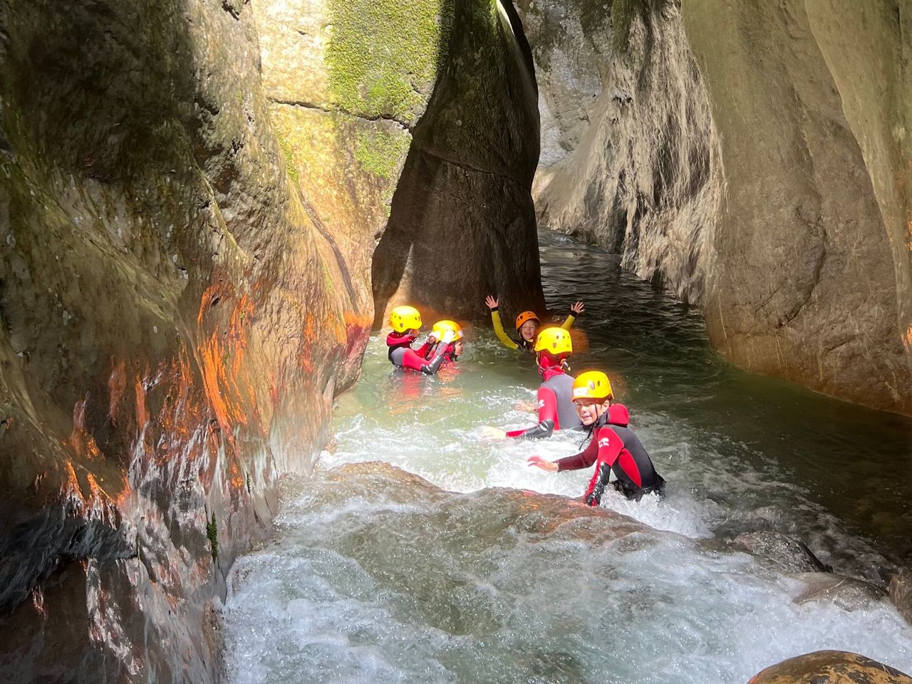
Mountain bike routesChâteau-d'Oex → Leysin · 39 km5.2 km - Pissot Canyoning in Chateau-d'Oex
 1/3
Pissot Canyoning in Chateau-d'Oex
5.0(1)Château-d'Oex5.6 kmper person
from $331
- L’Intyamon de Montbovon à la Brâ
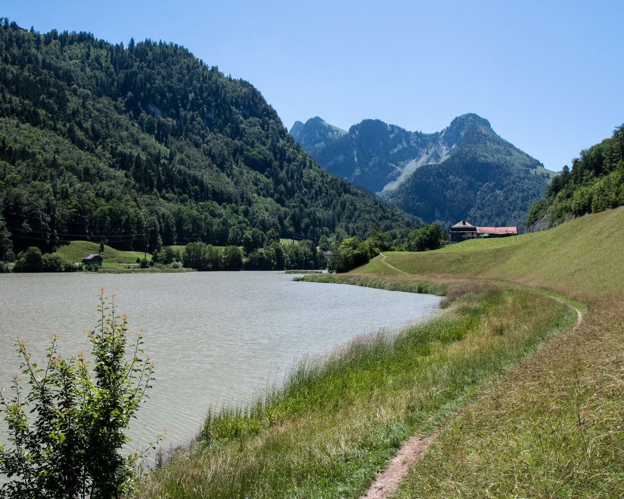
L’Intyamon de Montbovon à la Brâ
BergwanderwegMontbovon · 10 km · 5 h 25 min6.5 km - Parcours Gérignoz–La Sarouche
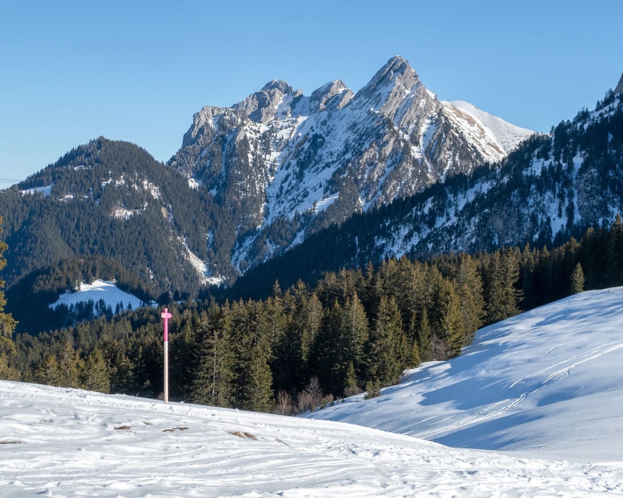

Parcours Gérignoz–La Sarouche
Snowshoe routesChâteau-d'Oex, Gérignoz · 9.0 km · 6 h 19 min7.8 km - Via Alpina, Stage 18/20

Via Alpina, Stage 18/20
BergwanderwegL'Etivaz → Rossinière · 14 km · 4 h 37 min8.8 km