Hiking Trail
Gamplüt-Säntis-Weg
- Alpine hiking trail
- Hard
- SG
- Distance
- 10 km
- Walking time
- 7 h 3 min
- Ascent
- 1,500 m
- Descent
- 400 m
- Highest point
- 2,482 m
Elevation profile
Point at a spot with your mouse
About this route
Wer gerne bergauf wandert, ist hier richtig: Zuerst taucht der Weg hinein in ein Blumenmeer, das einen zur Alp Tesel begleitet. Im Zickzack schraubt er sich hoch und weiter über den Zwingli- und den Rotsteinpass. Das Ziel bereits im Blick, endet die Wanderung via Lisengrat auf dem Säntis, dem Hausberg der Ostschweiz.
Map
Getting there and tickets
- Public transport at startGamplütCable car · 1 min walk to the trail
- Public transport at finishSäntisCable car · 1 min walk to the trail
Sat, Oct 241 adult
Your hiking plan
from Zürich HB
The day
Pricing the ticket …
Zürich HB
Säntis
End of the route
Zürich HB
Popular activities
- Toggenburger Höhenweg, Stage 1/6
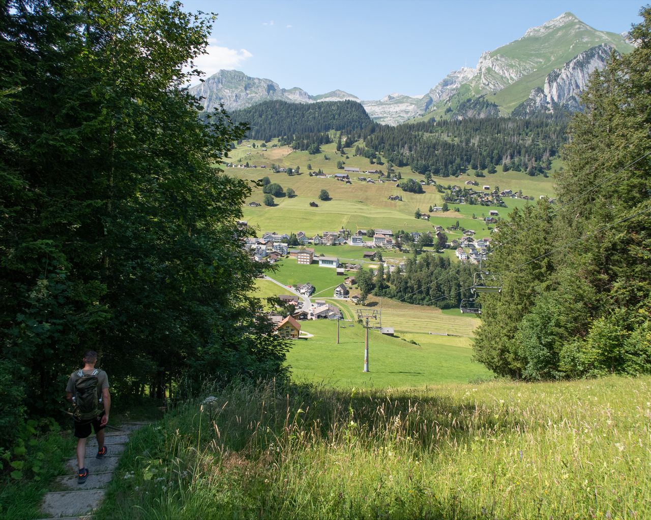

Toggenburger Höhenweg, Stage 1/6
BergwanderwegWildhaus → Selunalp · 14 km · 5 h 33 min2 km - Wildmannli Bike, Stage 2/3
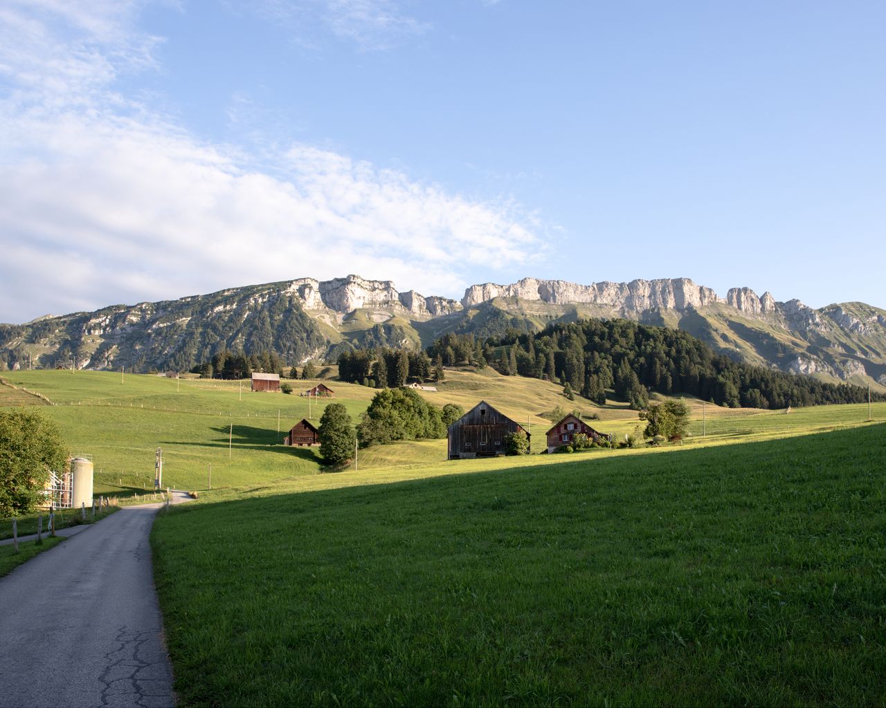
Wildmannli Bike, Stage 2/3
Mountain bike routesWildhaus → Altstätten · 52 km2 km - Rheintaler Höhenweg, Stage 5/6
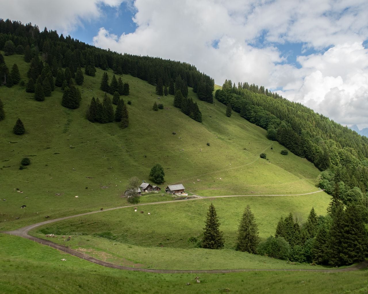

Rheintaler Höhenweg, Stage 5/6
BergwanderwegWildhaus → Malbun (SG) · 15 km · 6 h 22 min2 km - City tour around Vaduz on the Citytrain
 1/7
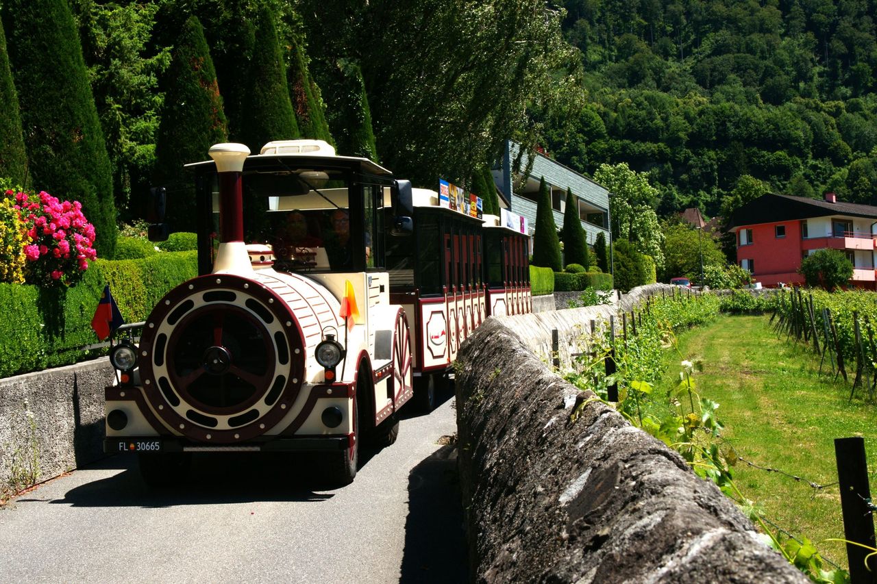
City tour around Vaduz on the Citytrain
4.5(2)Vaduz20.6 kmper person
from $22
- Private Vintage Wine Tour Bündner Herrschaft full day
 1/8
Private Vintage Wine Tour Bündner Herrschaft full day
4.7(3)Sargans30.5 kmper person
from $697
- Culinary tour Bündner Herrschaft by e-bike from Bad Ragaz
 1/9
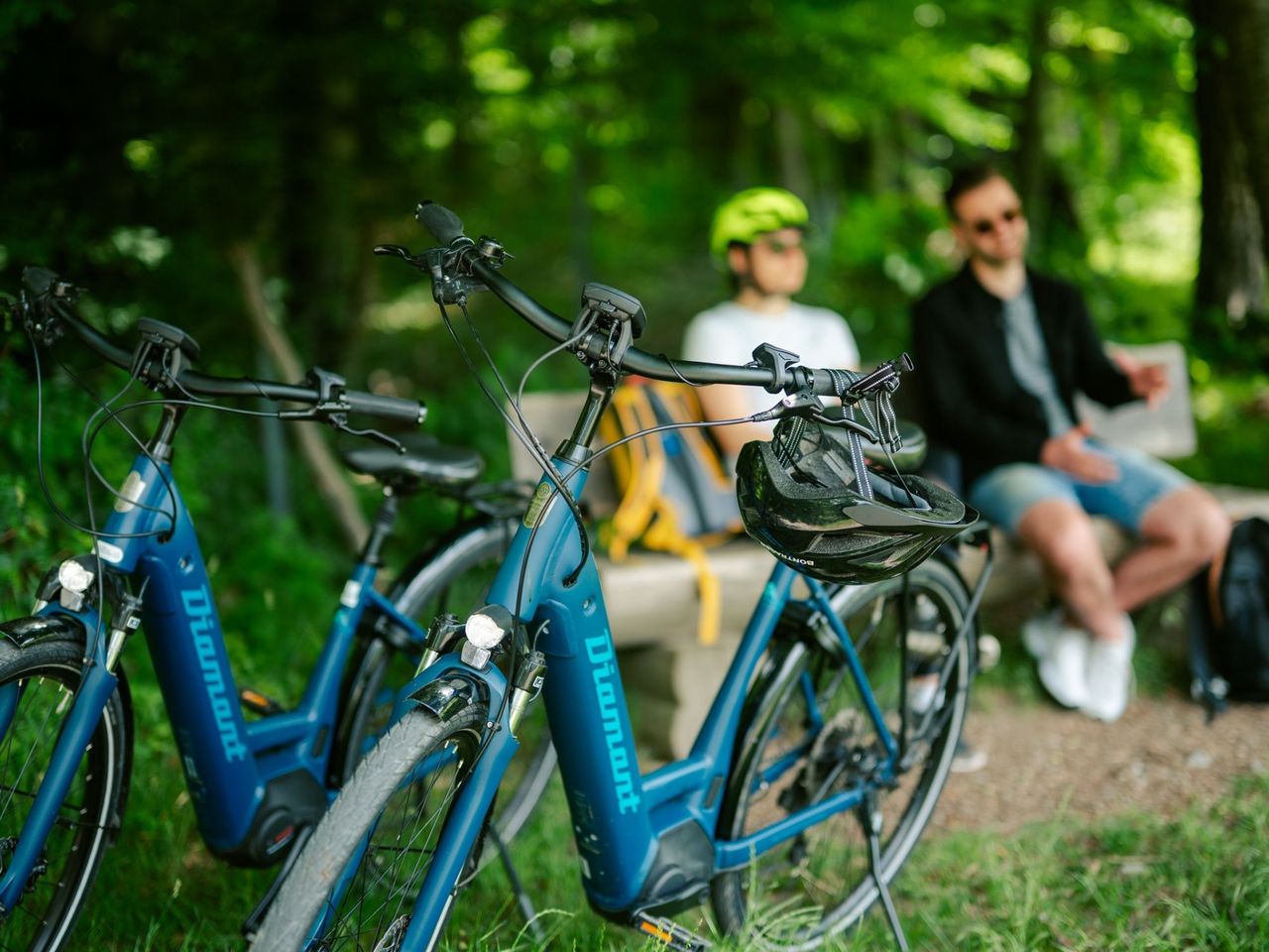
Culinary tour Bündner Herrschaft by e-bike from Bad Ragaz
4.8(6)Bad Ragaz35.8 kmper person
from $125