Hiking Trail
Bodensee-Uferweg
- Hiking trail
- Hard
- TG
- Distance
- 22 km
- Walking time
- 5 h 49 min
- Ascent
- 120 m
- Descent
- 120 m
- Highest point
- 416 m
Elevation profile
Point at a spot with your mouse
About this route
Die Route ab Kreuzlingen entlang dem Bodenseeufer bis nach Romanshorn lässt wahrhaftig Feriengefühle aufleben. Die Strecke bietet einen imposanten Ausblick auf und um den internationalen Süsswassersee.
Map
Getting there and tickets
- Public transport at startKreuzlingenTrain · 1 min walk to the trail
- Public transport at finishRomanshorn (See)Boat · 1 min walk to the trail
Sat, Oct 241 adult
Your hiking plan
from Zürich HB
The day
Pricing the ticket …
Zürich HB
Romanshorn (See)
End of the route
Zürich HB
Popular activities
- ViaRhenana, Stage 1/10
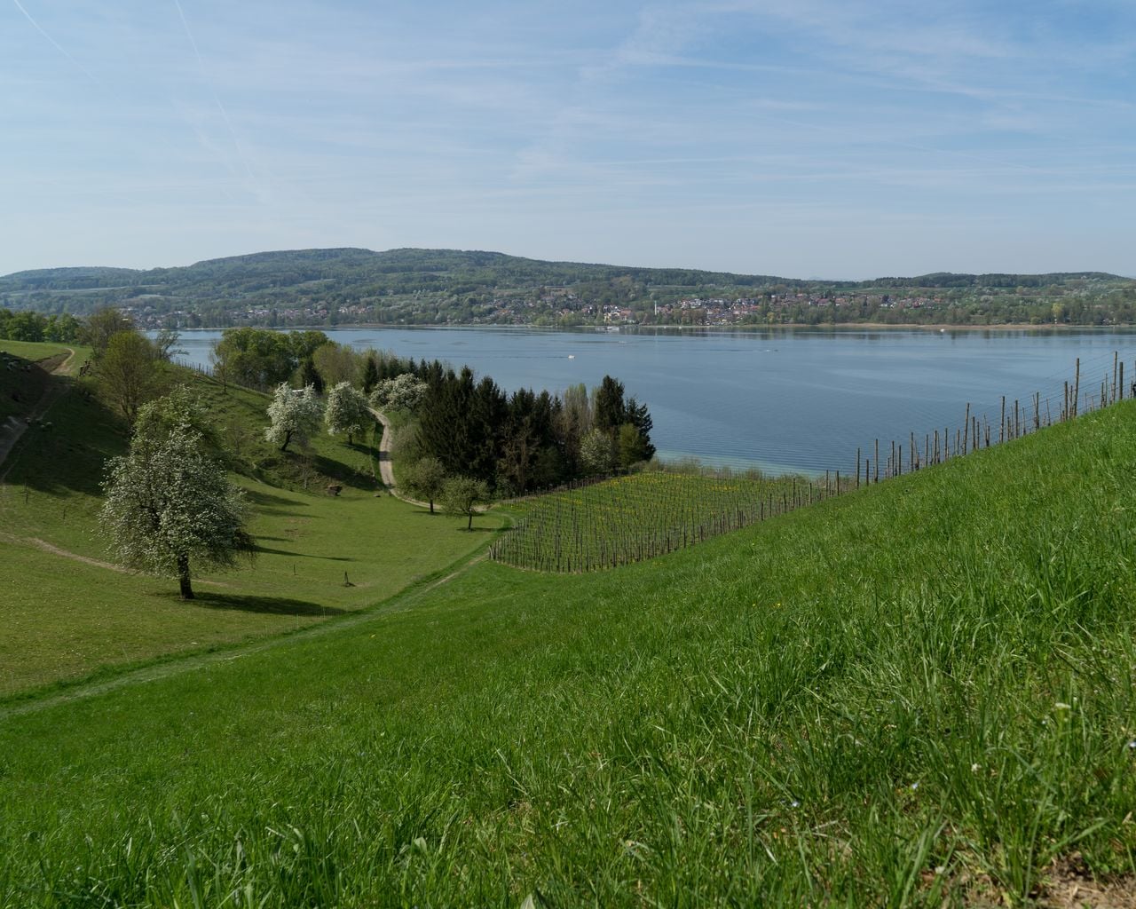

ViaRhenana, Stage 1/10
WanderwegKreuzlingen → Steckborn · 19 km · 5 h 39 min0 km - ViaJacobi, Stage 21/33
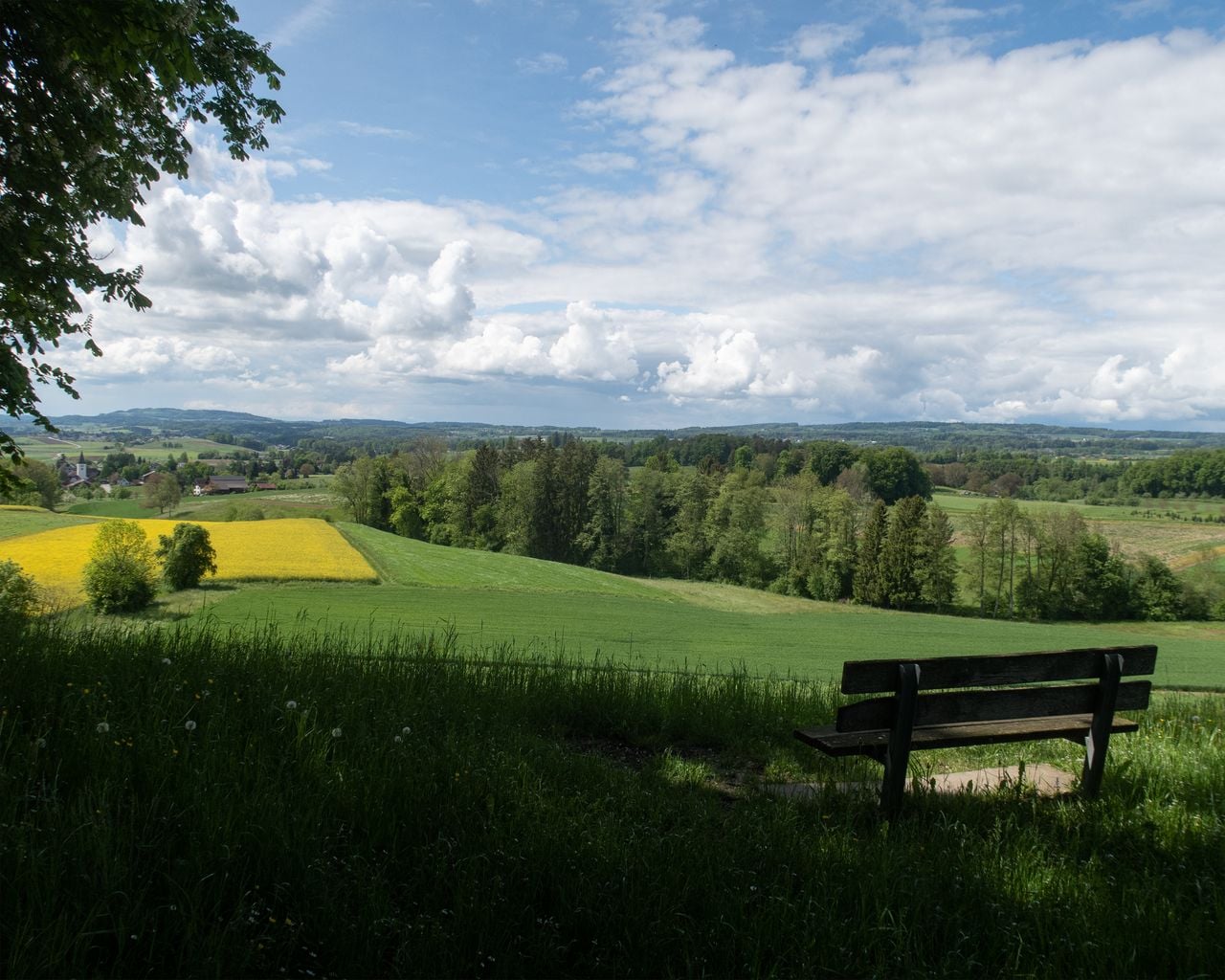

ViaJacobi, Stage 21/33
WanderwegKreuzlingen (Konstanz, D) → Märstetten · 15 km · 4 h 25 min1.5 km - Bodensee-Radweg, Stage 1/8
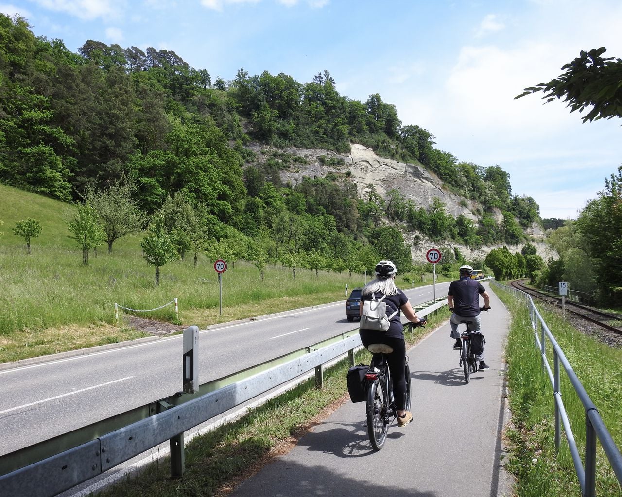
Bodensee-Radweg, Stage 1/8
Cycling routesKonstanz → Überlingen · 52 km1.5 km - Golf Introductory Course in Lipperswil

Golf Introductory Course in Lipperswil
Kreuzlingen10.9 kmfrom $233
- "Find-the-Code: Thurgau Legends" Outdoor Escape Game Frauenfeld
 1/7
"Find-the-Code: Thurgau Legends" Outdoor Escape Game Frauenfeld
3.0(1)Frauenfeld39.5 kmper person
from $15