Hiking Trail
Au fil du Doubs
- Mountain hiking trail
- Hard
- NE
- Distance
- 68 km
- Walking time
- 21 h 19 min
- Ascent
- 1,450 m
- Descent
- 1,900 m
- Highest point
- 873 m
Elevation profile
Point at a spot with your mouse
About this route
Diese Wanderung macht ihrem Namen alle Ehre. Der Weg führt von Les Brenets in der Nähe von La Chaux-de-Fonds bis nach St. Ursanne praktisch immer dem Doubs entlang. Dabei durchquert er den regionalen Naturpark Doubs von Westen nach Osten.
Map
Getting there and tickets
- Public transport at startLes BrenetsTrain · 1 min walk to the trail
- Public transport at finishSt-Ursanne, Pont St-Jean/villeBus · 2 min walk to the trail
Sat, Oct 241 adult
Your hiking plan
from Zürich HB
The day
Pricing the ticket …
Zürich HB
St-Ursanne, Pont St-Jean/ville
End of the route
Zürich HB
Popular activities
- Au fil du Doubs, Stage 1/4
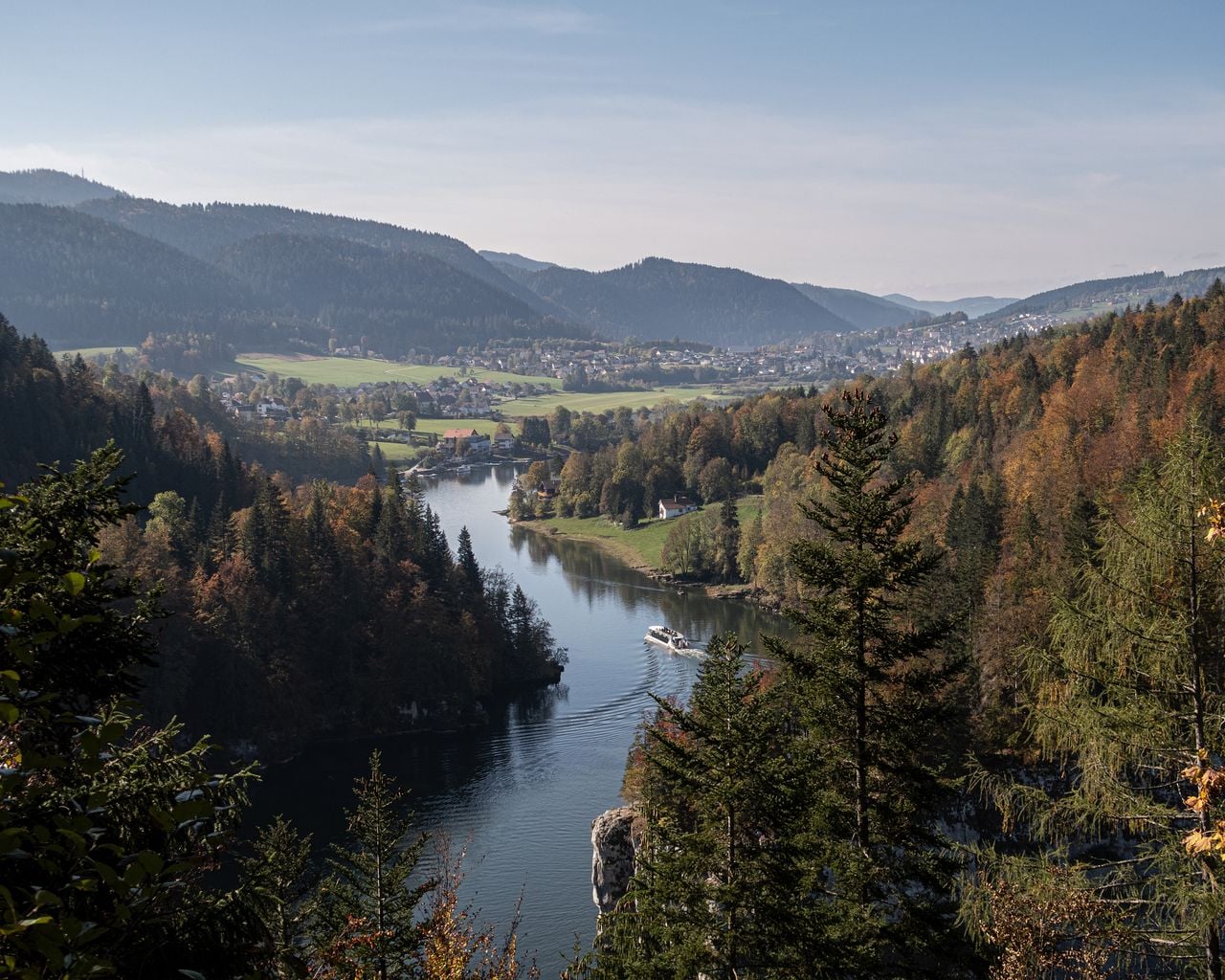

Au fil du Doubs, Stage 1/4
BergwanderwegLes Brenets → Maison Monsieur · 19 km · 6 h 24 min0 km - Parcours Le Locle–La Sagne


Parcours Le Locle–La Sagne
Snowshoe routesLe Locle → La Sagne · 8.0 km · 3 h 51 min5.6 km - "Beat the bride" in Neuchâtel: action-packed hen party
 1/7
"Beat the bride" in Neuchâtel: action-packed hen party
Neuchâtel31.5 kmper person
from $534
- "The Original" History of Murten City Tour
 1/10
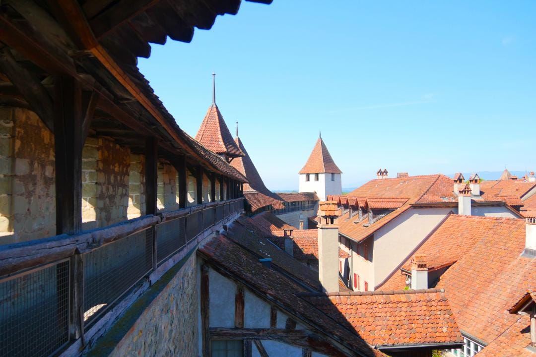
"The Original" History of Murten City Tour
4.9(10)Murtenper person
from $27
- "Find-the-Code: Return of the Fighting Times" Outdoor Escape Game Murten
 1/5
"Find-the-Code: Return of the Fighting Times" Outdoor Escape Game Murten
4.0(1)Murtenper person
from $15