Mountain bike routes
Mattmark Bike
- Easy
- VS
- Distance
- 22 km
- Ascent
- 680 m
- Descent
- 680 m
- Highest point
- 2,263 m

Still have questions? Ask Alpi.
Alpi can help with routes, weather and everything worth knowing nearby.
Elevation profile
Point at a spot with your mouse
About this route
Von Saas-Almagell aus führt diese Bike-Rundtour zum Staudamm Mattmark. Umgeben von einer alpinen Landschaft wird der See umrundet. Über eine rasante Abfahrt geht es wieder zum Ausgangspunkt zurück.
Map
Getting there and tickets
- Public transport at startSaas-Almagell, DorfplatzBus · 1 min walk to the trail
- Public transport at finishSaas-Almagell, DorfplatzBus · 1 min walk to the trail
Popular activities
- Winterwanderweg Mattmark
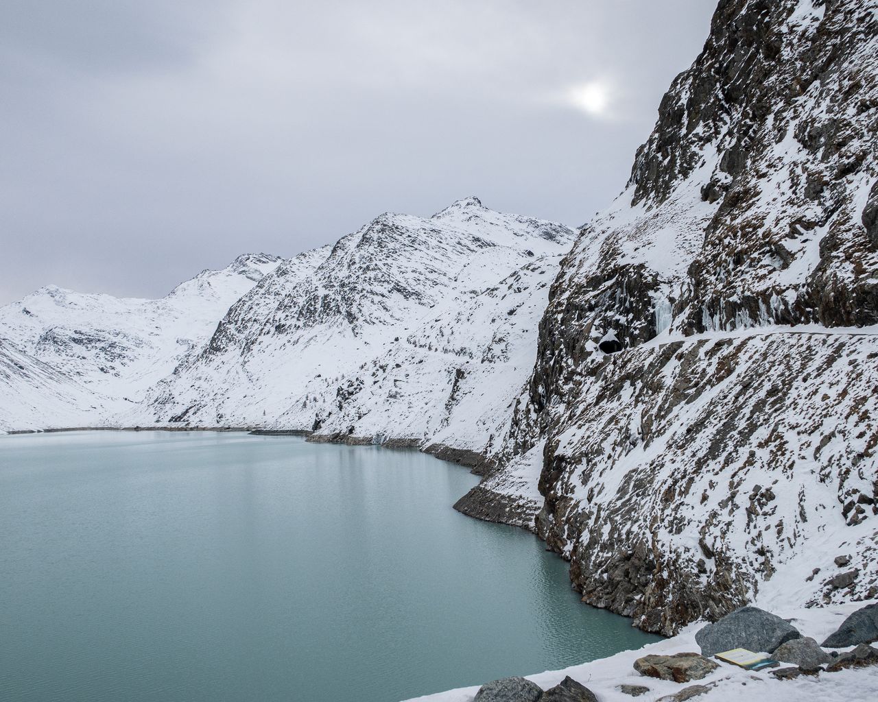
Winterwanderweg Mattmark
Winter hiking routesSaas-Almagell · 14 km · 4 h 56 min0 km - Christmas Mass with the Mattmark music society
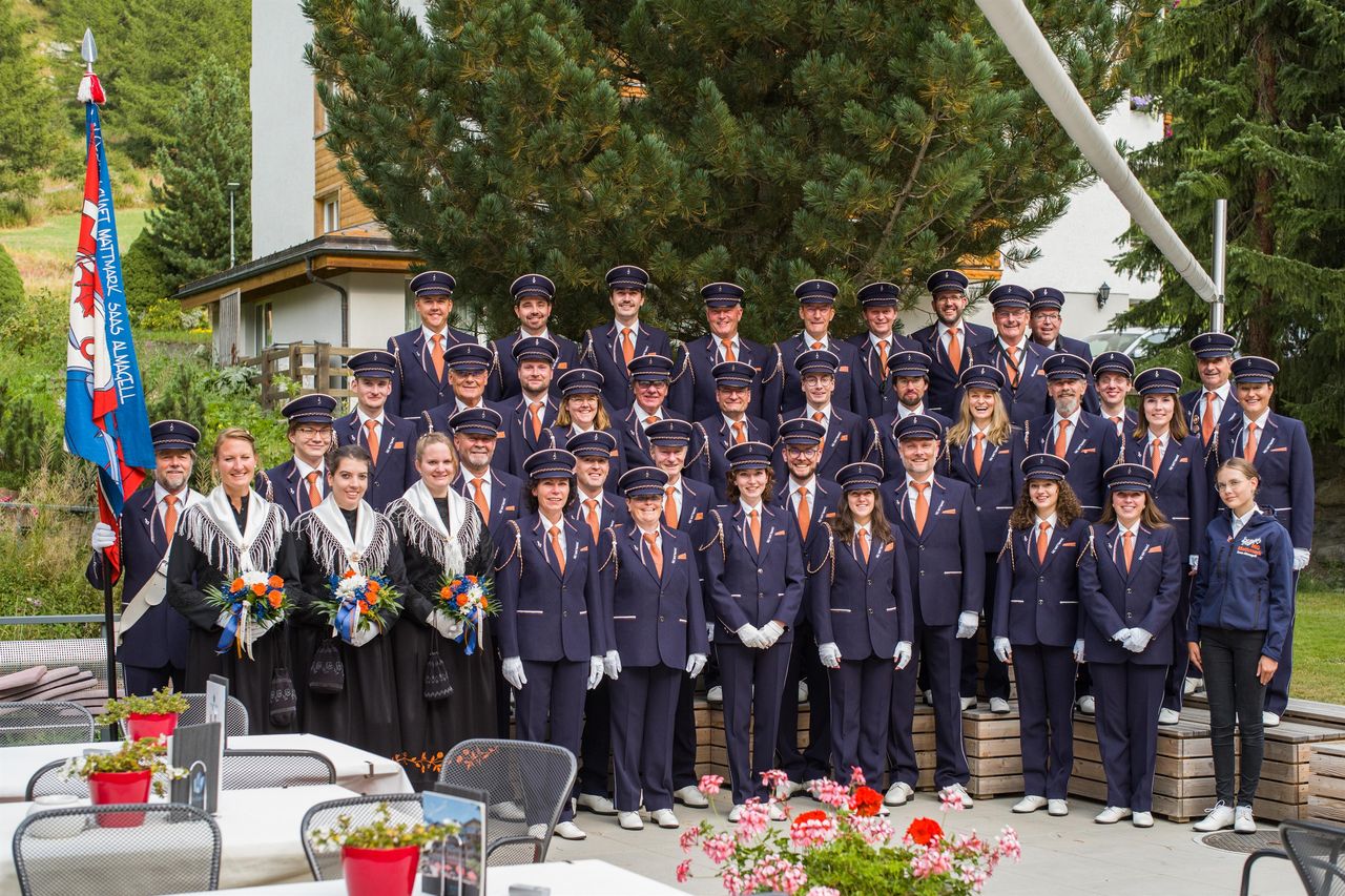
Christmas Mass with the Mattmark music society
EventSaas-Almagell0.2 km - Rosswald paragliding tandem in Valais
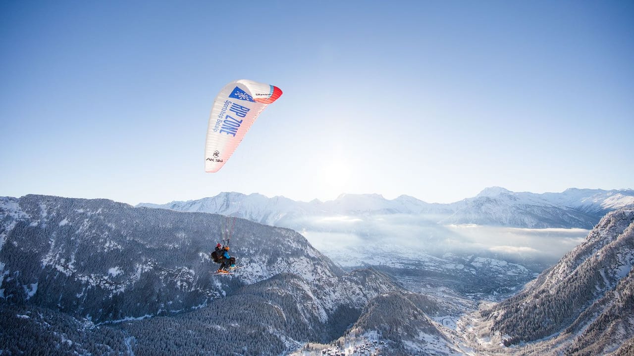 1/10
Rosswald paragliding tandem in Valais
5.0(6)Brig38.3 kmper person
from $267
- Belalp paragliding tandem in Valais
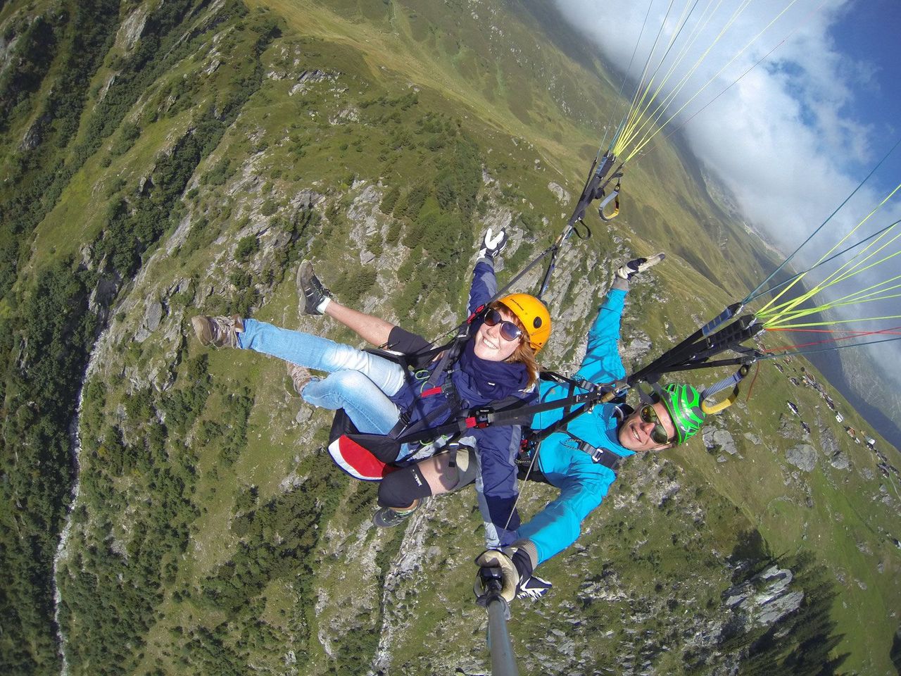 1/8
Belalp paragliding tandem in Valais
5.0(2)Blatten bei Naters42.2 kmper person
from $267
- Paragliding “The Spectacular” in Zermatt
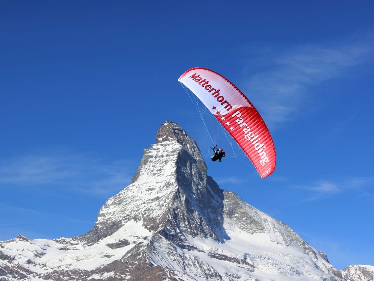 1/9
Paragliding “The Spectacular” in Zermatt
4.7(6)Zermatt45 kmper person
from $427