Cycling routes
Gögelland-Route
- Easy
- TG
- Distance
- 14 km
- Ascent
- 150 m
- Descent
- 180 m
- Highest point
- 538 m

Still have questions? Ask Alpi.
Alpi can help with routes, weather and everything worth knowing nearby.
Elevation profile
Point at a spot with your mouse
About this route
Als «Gögelland» wird das Gebiet zwischen Ottenberg und Obersee, also der Ausläufer des Seerückens oberhalb von Kreuzlingen, bezeichnet. Die kurze Route bietet vor allem die Möglichkeit, die Touren am See und im Thurtal zu Rundfahrten zu verbinden.
Map
Getting there and tickets
- Public transport at startBürglen TG, BahnhofBus · 6 min walk to the trail
- Public transport at finishAltnauTrain · 1 min walk to the trail
Popular activities
- Ostschweizer Wein-Route, Stage 2/2
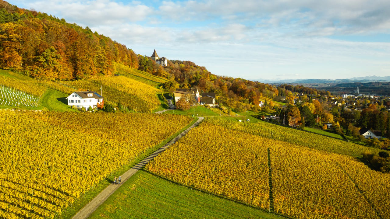
Ostschweizer Wein-Route, Stage 2/2
Cycling routesWeinfelden → St. Gallen · 38 km4.4 km - "Find-the-Code: Thurgau Legends" Outdoor Escape Game Frauenfeld
 1/7
"Find-the-Code: Thurgau Legends" Outdoor Escape Game Frauenfeld
3.0(1)Frauenfeld21.4 kmper person
from $15