Cycling routes
Alpine Panorama Route
- Hard
- SG
- Distance
- 475 km
- Ascent
- 9,200 m
- Descent
- 9,200 m
- Highest point
- 1,947 m

Still have questions? Ask Alpi.
Alpi can help with routes, weather and everything worth knowing nearby.
Elevation profile
Point at a spot with your mouse
About this route
Die Alpenpanorama-Route traversiert pass- und schluchtenreich das nördliche Alpenvorland mit seinen traditionsreichen Kulturen, Siedlungen und Alpwirtschaften. Die konditionell anspruchsvolle Fahrt wird mit grandiosen Ausblicken belohnt.
Map
Getting there and tickets
- Public transport at startSt. Margrethen SG, BahnhofBus · 1 min walk to the trail
- Public transport at finishAigle, place du MarchéBus · 1 min walk to the trail
Bookable along the way

Popular activities
- Alpine Panorama Route, Stage 1/9
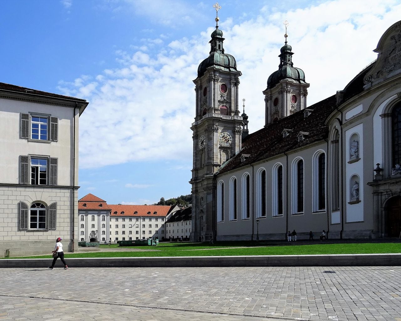
Alpine Panorama Route, Stage 1/9
Cycling routesSt. Margrethen → Appenzell · 46 km0 km - Rheintaler Höhenweg, Stage 2/6
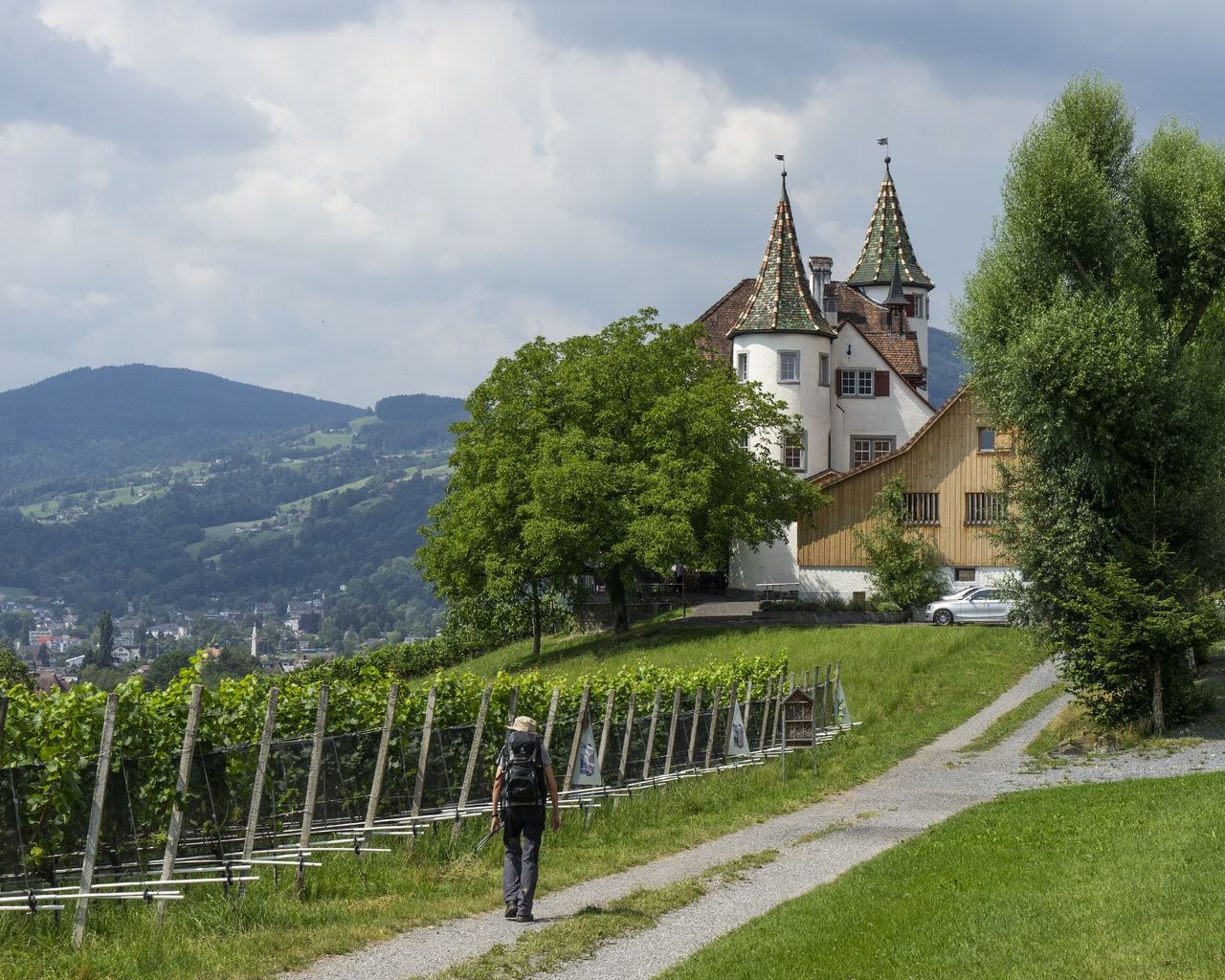
Rheintaler Höhenweg, Stage 2/6
WanderwegBerneck → Altstätten · 13 km · 4 h 49 min5.5 km - "SECTOR" Activate Room St. Gallen
 1/8
"SECTOR" Activate Room St. Gallen
5.0(1)St. Gallen30.6 kmper person
from $52
- "The Magic Portal" Escape Game St. Gallen
 1/6
"The Magic Portal" Escape Game St. Gallen
4.9(9)St. Gallen30.9 kmper person
from $89
- "Operation Mindfall" Escape Game St. Gallen
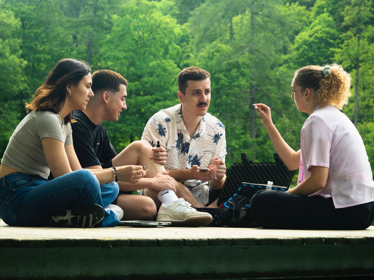 1/6
"Operation Mindfall" Escape Game St. Gallen
4.8(4)St. Gallen30.9 kmper person
from $89