


Winter hiking routes
Lötschentaler Höhen-Panoramaweg
- Easy
- VS
- Distance
- 1 km
- Walking time
- 20 min
- Ascent
- 30 m
- Descent
- 30 m
- Highest point
- 3,111 m

Still have questions? Ask Alpi.
Alpi can help with routes, weather and everything worth knowing nearby.
Elevation profile
Point at a spot with your mouse
About this route
Wandern auf dem höchsten Winterwanderweg Europas (3‘100 – 3‘120 m ü. M.): Der Weg führt vom Hockenhorngrat um das Hockenhorn zu einem Aussichtspunkt. Dort angekommen: eine fantastische Sicht auf 40 Viertausender, darunter die Mischabelkette und das Matterhorn.
Map
Getting there and tickets
- Public transport at startHockenhorngratCable car · 1 min walk to the trail
- Public transport at finishHockenhorngratCable car · 1 min walk to the trail
Sat, 21 Nov1 adult
Your hiking plan
from Zürich HB
The day
Pricing the ticket …
Zürich HB
Hockenhorngrat
End of the route
Zürich HB
Nearby in winter
- Schlittelweg Lauchernalp–Wiler
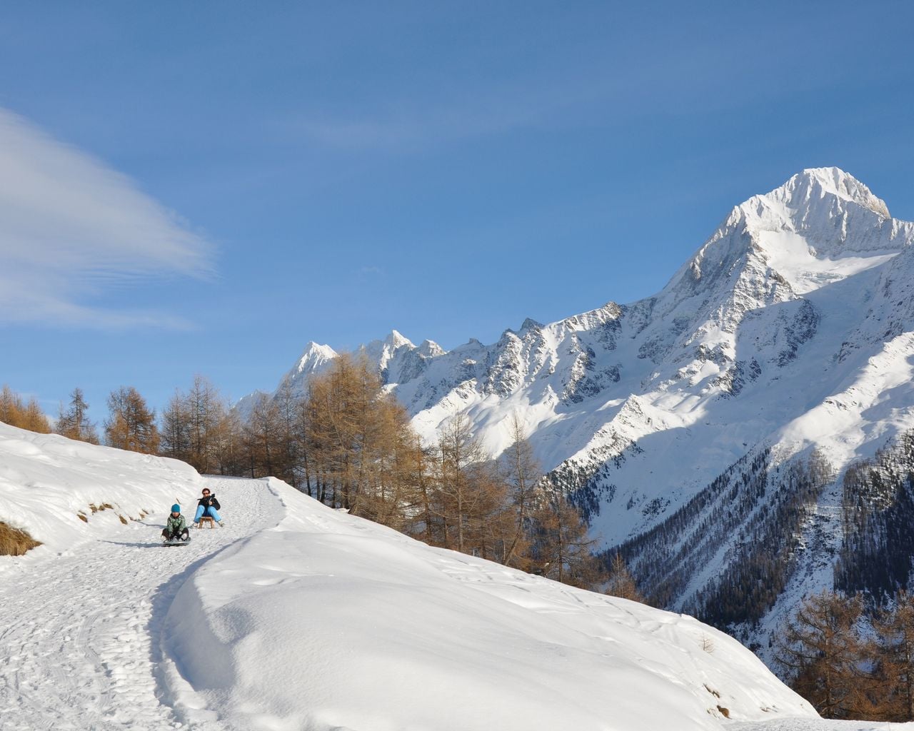
Schlittelweg Lauchernalp–Wiler
Sledging routesLauchernalp → Wiler (Lötschen) · 6.0 km - INTERSPORT Sporthaus Lauchernalp

INTERSPORT Sporthaus Lauchernalp
Ski rentalsWiler (Lötschen/Lauchernalp) - Multisensory Tasting in the Vineyard in Sion
 1/6
Multisensory Tasting in the Vineyard in Sion
Sionper person
from $65


