


Snowshoe routes
Parcours du Pré-de-l’Essert
- Hard
- FR
- Distance
- 9 km
- Walking time
- 4 h 19 min
- Ascent
- 400 m
- Descent
- 400 m
- Highest point
- 1,203 m

Still have questions? Ask Alpi.
Alpi can help with routes, weather and everything worth knowing nearby.
Elevation profile
Point at a spot with your mouse
About this route
Diese Schneeschuh-Rundwanderung ist ideal für Naturliebhaber, welche die Ruhe schätzen. Die Strecke führt durch eine «wilde» Talmulde Richtung Reposoirs und Pré de L’Essert. Interessante Gebäude auf dem Weg: die Kartause La Valsainte beim Startpunkt und der höchstgelegene Bauernbetrieb im Kanton Freiburg.
Map
Getting there and tickets
- Public transport at startLa Valsainte, CouventBus · 2 min walk to the trail
- Public transport at finishLa Valsainte, CouventBus · 2 min walk to the trail
Sat, 14 Nov1 adult
Your hiking plan
from Zürich HB
The day
Pricing the ticket …
Zürich HB
La Valsainte, Couvent
End of the route
Zürich HB
Nearby in winter
- Parcours de la Monse
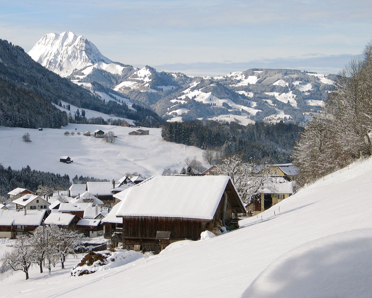

Parcours de la Monse
Snowshoe routesCharmey, Lodzetta · 3.0 km · 1 h 48 min6.3 km - Piste de la vallée de la Jogne
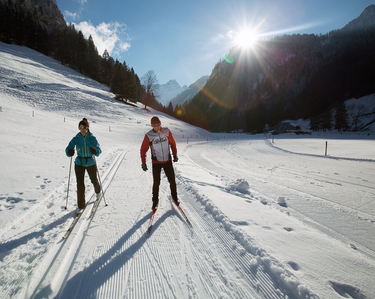

Piste de la vallée de la Jogne
Cross-Country SkiingCharmey → Jaun · 10 km7.1 km - Parcours du Sommet de Vounetse
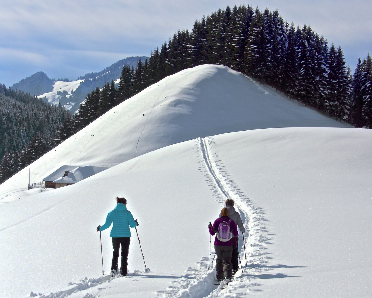

Parcours du Sommet de Vounetse
Snowshoe routesTélécabine Charmey, station intermédiaire · 5.0 km · 4 h 42 min7.2 km - Parcours de l’Intermédiaire
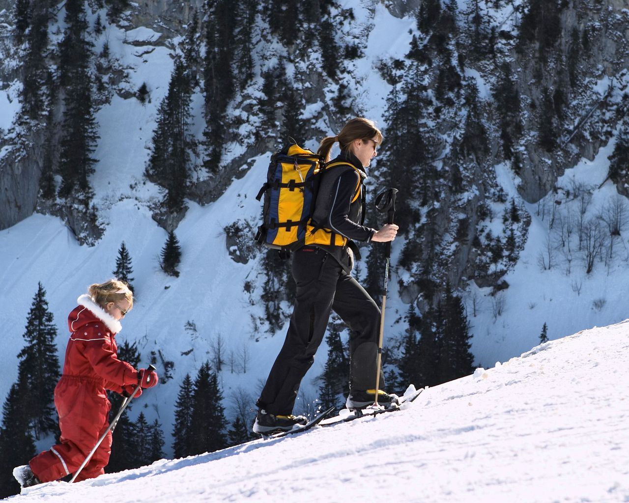

Parcours de l’Intermédiaire
Snowshoe routesTélécabine Charmey, station intermédiaire · 3.0 km · 2 h 17 min7.2 km - "Chocolate-making pleasure for everyone" Workshop Maison Cailler
 1/11
"Chocolate-making pleasure for everyone" Workshop Maison Cailler
5.0(8)Broc10.3 kmper person
from $83
- "Chocolate Champions" Workshop Maison Cailler
 1/6
"Chocolate Champions" Workshop Maison Cailler
5.0(3)Broc10.3 kmper person
from $56
- Ticket Maison Cailler Chocolate Factory
 1/8
Ticket Maison Cailler Chocolate Factory
4.6(180)Broc10.3 kmper person
from $32


