


Snowshoe routes
Parcours de Taveyanne
- Hard
- VD
- Distance
- 10 km
- Walking time
- 4 h 12 min
- Ascent
- 190 m
- Descent
- 420 m
- Highest point
- 1,648 m

Still have questions? Ask Alpi.
Alpi can help with routes, weather and everything worth knowing nearby.
Elevation profile
Point at a spot with your mouse
About this route
Die Schneeschuhwanderung führt von der Alpe des Chaux am Fusse der auslaufenden Diablerets-Kette vorbei am charmanten Weiler Taveyanne mit seinen Holzschindeldächern. Dem Flusslauf der Gryonne folgend, passiert man verschlafene Alphütten und überquert leise Bäche, die sich ihren Weg unter dem Schnee bahnen.
Map
Getting there and tickets
- Public transport at startAlpe des Chaux, Combe du ScexBus · 1 min walk to the trail
- Public transport at finishVillars-sur-Ollon, ColongesBus · 5 min walk to the trail
Sat, 21 Nov1 adult
Your hiking plan
from Zürich HB
The day
Pricing the ticket …
Zürich HB
Villars-sur-Ollon, Colonges
End of the route
Zürich HB
Nearby in winter
- Chemin de Frience–Solalex–Cergnement


Chemin de Frience–Solalex–Cergnement
Winter hiking routesGryon, Frience → Cergnement · 7.0 km · 2 h 24 min0.8 km - Piste Villars–Col de la Croix
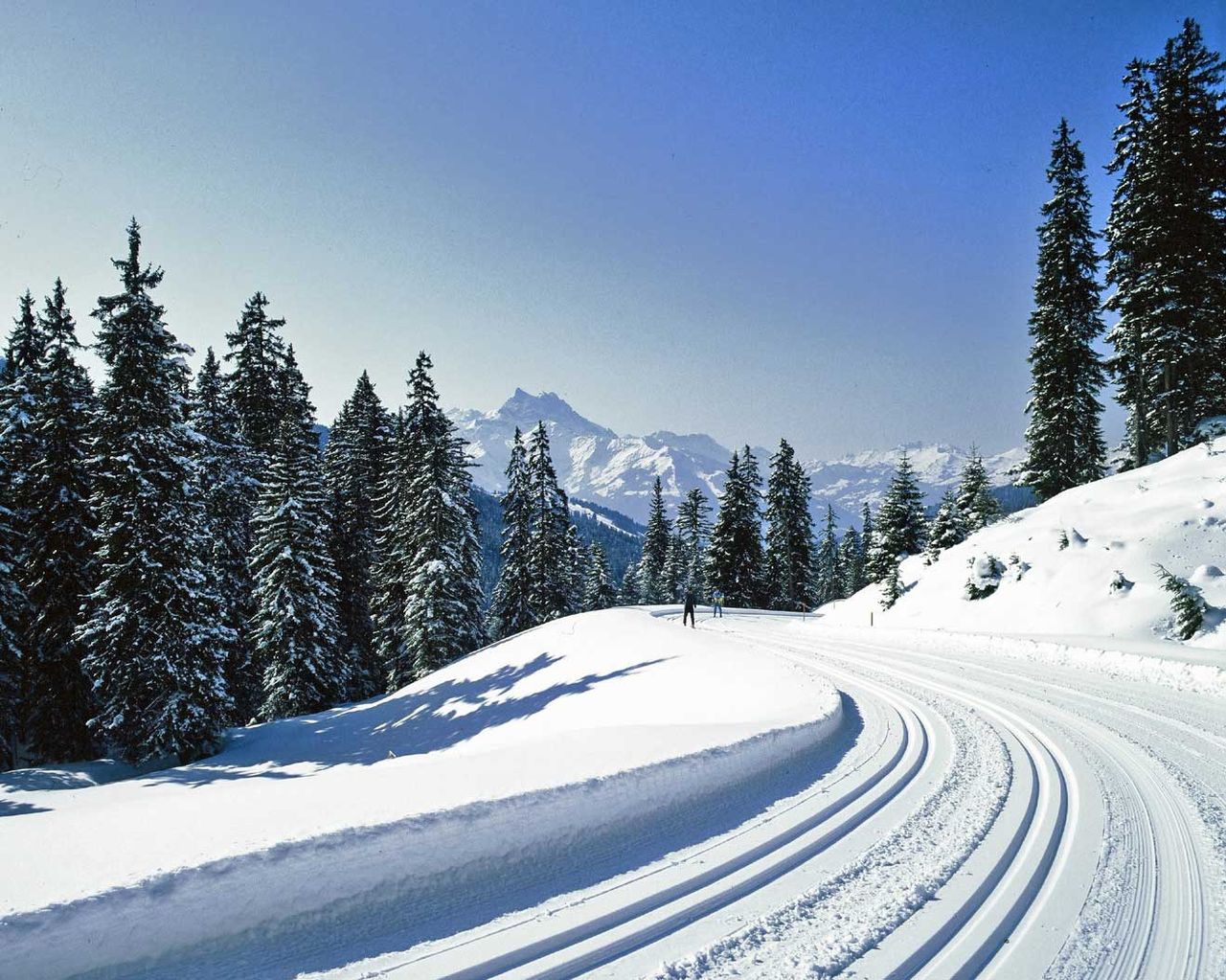
Piste Villars–Col de la Croix
Cross-Country SkiingVillars-sur-Ollon · 14 km5.9 km - Chemin Villars–Col de la Croix golf club


Chemin Villars–Col de la Croix golf club
Winter hiking routesVillars-sur-Ollon · 7.0 km · 2 h 21 min6.4 km - Parcours Les Bouquetins–Villars


Parcours Les Bouquetins–Villars
Snowshoe routesVillars, Bouquetins → Villars · 5.0 km · 2 h 44 min7.3 km - Piste de luge Col de Soud–Villars

Piste de luge Col de Soud–Villars
Sledging routesVillars-sur-Ollon, Col de Soud → Villars-sur-Ollon, Roches Grises · 2.0 km8.1 km - Descente en luge des Diablerets
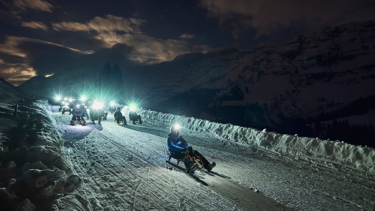
Descente en luge des Diablerets
Sledging routesLes Diablerets, télécabine Diablerets Express · 7.0 km8.2 km - "Discovery flight" paragliding from Villars sur Ollon
 1/4
"Discovery flight" paragliding from Villars sur Ollon
Villars-sur-Ollon8.3 kmper person
from $297
- Ticket Chateau Chillon in Montreux
 1/28
Ticket Chateau Chillon in Montreux
4.7(90)Veytaux29.1 kmper person
from $28
- Barryland Admission Ticket in Martigny
 1/8
Barryland Admission Ticket in Martigny
4.8(4)Martigny31.2 kmper person
from $43


