


Hiking Trail
Zürichsee-Rundweg, Stage 4/10
- Hiking trail
- Hard
- ZH
- Distance
- 17 km
- Walking time
- 6 h 19 min
- Ascent
- 780 m
- Descent
- 760 m
- Highest point
- 1,097 m

Still have questions? Ask Alpi.
Alpi can help with routes, weather and everything worth knowing nearby.
Elevation profile
Point at a spot with your mouse
About this route
Die Bergetappe des Zürichsee-Rundwegs steigt ab Richterswil kontinuierlich an bis zum Aussichtspunkt Etzel. Im Rundblick ist der ganze Zürichsee zu überblicken und es zeigen sich über 250 Bergspitzen. Anschliessend führt der Weg durch Wald und Feld wieder zurück auf Seehöhe in Pfäffikon SZ.
Map
Getting there and tickets
- Public transport at startRichterswil (See)Boat · 1 min walk to the trail
- Public transport at finishPfäffikon SZTrain · 1 min walk to the trail
Sun, 25 Oct1 adult
Your hiking plan
from Zürich HB
The day
Pricing the ticket …
Zürich HB
Pfäffikon SZ
End of the route
Zürich HB
Popular activities
- Koreanischer Kochkurs / Korean Cooking Class: Fried Chicken
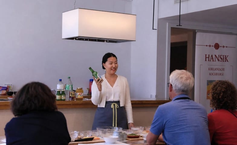
Koreanischer Kochkurs / Korean Cooking Class: Fried Chicken
Culinary EventRichterswil0.9 km - CARMINA BURANA - Samstag 28 November 2026
CARMINA BURANA - Samstag 28 November 2026
EventWollerau1.9 km - CARMINA BURANA - Sonntag 29. November 2026
CARMINA BURANA - Sonntag 29. November 2026
EventWollerau1.9 km - Carmina Burana – Verena Wollerau Music Association & Choirs
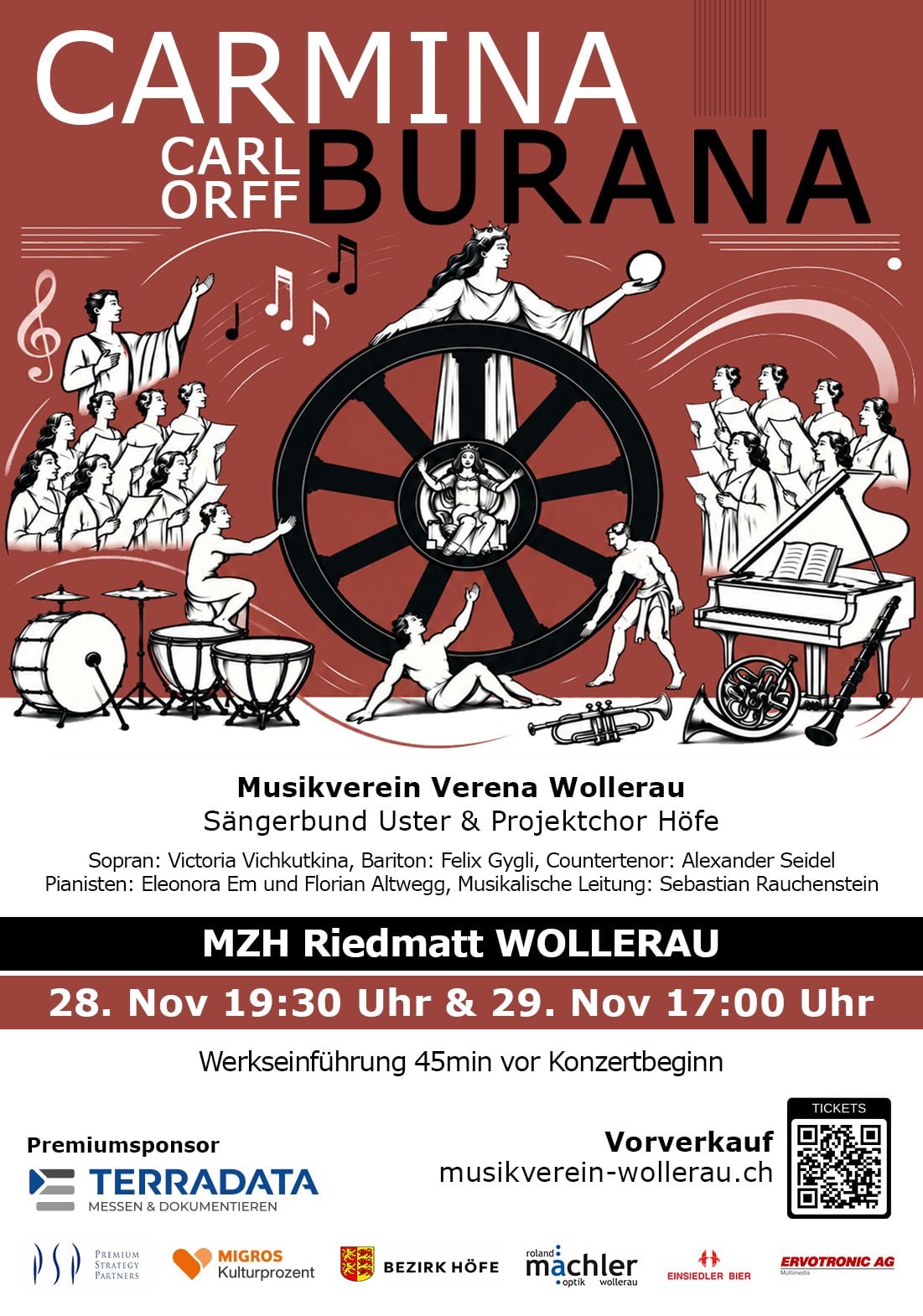
Carmina Burana – Verena Wollerau Music Association & Choirs
EventWollerau2.2 km - "The Keepers" Outdoor Escape Game Wädenswil
 1/5
"The Keepers" Outdoor Escape Game Wädenswil
Wädenswil3.8 kmper person
from $26
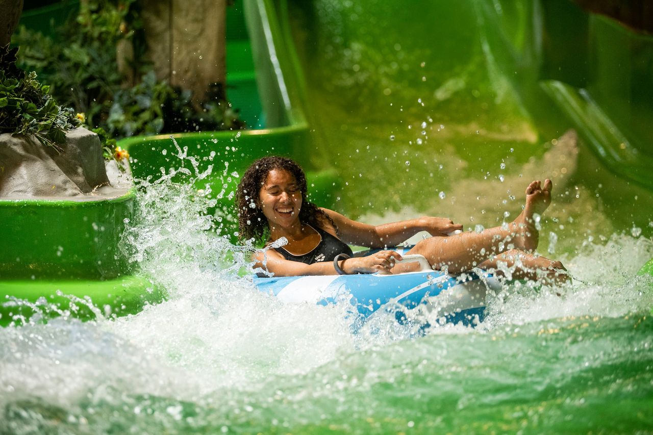
- Alpamare ticket: water fun with pools, sauna world and slides
 1/15
Alpamare ticket: water fun with pools, sauna world and slides
5.0(5)Pfäffikon SZ7.9 kmper person
from $84
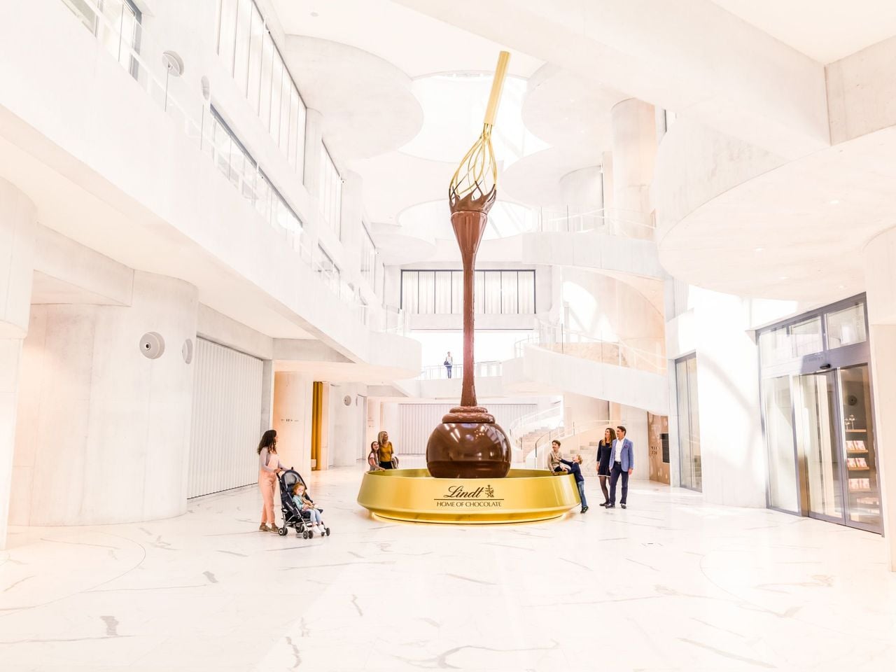
- Lindt Home of Chocolate Museum Ticket
 1/10
Lindt Home of Chocolate Museum Ticket
4.7(45)Zurich21.6 kmper person
from $31


