


Cycling routes
Reiat-Route
- Medium
- SH
- Distance
- 30 km
- Ascent
- 500 m
- Descent
- 500 m
- Highest point
- 685 m

Still have questions? Ask Alpi.
Alpi can help with routes, weather and everything worth knowing nearby.
Elevation profile
Point at a spot with your mouse
About this route
Ganz im Norden der Schweiz schlängelt sich diese Route durch die regionaltypische Hügellandschaft, entlang des Flüsschens Biber und vorbei an grünen Wiesen, Weinbergen und Wäldern. Der Blick reicht von der Alpenkette bis über die deutsche Hegaulandschaft mit ihren charakteristischen Vulkankegeln.
Map
Getting there and tickets
- Public transport at startSchaffhausen, BahnhofBus · 1 min walk to the trail
- Public transport at finishSchaffhausen, BahnhofBus · 1 min walk to the trail
Popular activities
- "The Omega Codex" Outdoor Escape Game Schaffhausen
 1/8
"The Omega Codex" Outdoor Escape Game Schaffhausen
5.0(2)Schaffhausen0.1 kmper person
from $26
- "Beat the bride" in Schaffhausen: action-packed hen party
 1/7
"Beat the bride" in Schaffhausen: action-packed hen party
Schaffhausen0.4 kmper person
from $552
- Schaffhauserland Bike, Stage 1/4


Schaffhauserland Bike, Stage 1/4
Mountain bike routesSchaffhausen → Hallau · 32 km0.5 km - Seerücken-Route, Stage 1/2


Seerücken-Route, Stage 1/2
Cycling routesSchaffhausen → Siegershausen · 55 km0.8 km - Ostschweizer Wein-Route, Stage 1/2
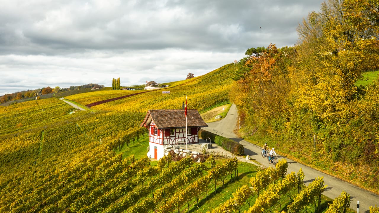

Ostschweizer Wein-Route, Stage 1/2
Cycling routesSchaffhausen → Weinfelden · 52 km0.8 km - Rheinfall–Zürcher Oberland


Rheinfall–Zürcher Oberland
Cycling routesSchaffhausen → Wattwil (Ricken) · 97 km0.8 km - Stein am Rhein interactive scavenger hunt with smartphone
 1/9
Stein am Rhein interactive scavenger hunt with smartphone
4.7(3)Stein am Rhein20.1 kmper person
from $19


