Cycling routes
Pilger-Route
- Medium
- TG
- Distance
- 90 km
- Ascent
- 1,550 m
- Descent
- 1,500 m
- Highest point
- 938 m

Still have questions? Ask Alpi.
Alpi can help with routes, weather and everything worth knowing nearby.
Elevation profile
Point at a spot with your mouse
About this route
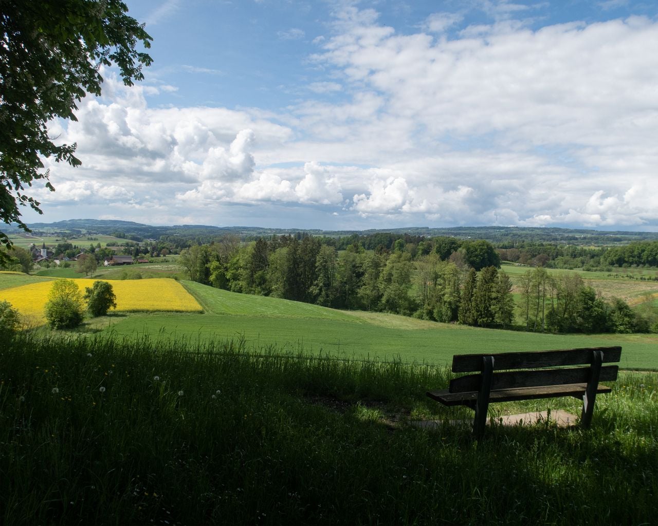
Bachtobel und Waldkuppen prägen das Tannzapfenland, Pilgerhalt ist das Benediktinerkloster Fischingen. Der steile Sternenberg lohnt mit Panoramasicht. Durch die Flachmoore beim Pfäffikersee, durch Dörfer und Bauernfelder hinab zum Zürichsee.
Map
Getting there and tickets
- Public transport at startKreuzlingen, KonstanzerstrasseBus · 1 min walk to the trail
- Public transport at finishMeilenTrain · 1 min walk to the trail
Popular activities
- ViaJacobi, Stage 21/33
ViaJacobi, Stage 21/33
WanderwegKreuzlingen (Konstanz, D) → Märstetten · 15 km · 4 h 25 min1 km - Golf Introductory Course in Lipperswil
Golf Introductory Course in Lipperswil
Kreuzlingen11.1 kmfrom $236
- "Find-the-Code: Thurgau Legends" Outdoor Escape Game Frauenfeld
 1/7
"Find-the-Code: Thurgau Legends" Outdoor Escape Game Frauenfeld
3.0(1)Frauenfeld39.7 kmper person
from $15